Trail Overview
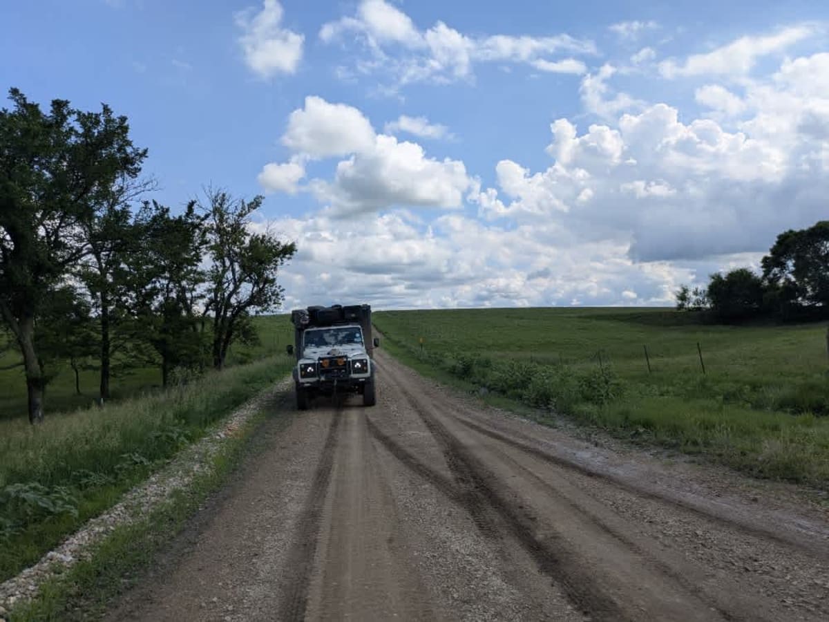
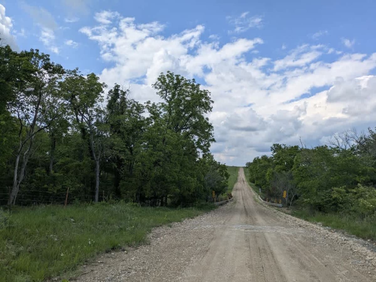
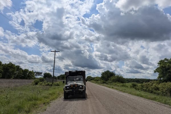
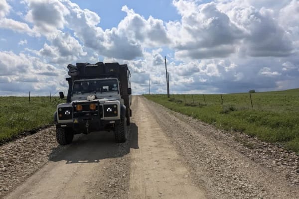
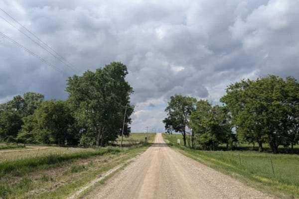
This trail begins as a broad, smooth gravel road that winds past farmland, offering an easy drive at first. After crossing the interstate, the trail shifts in character--narrowing into a straight, well-maintained gravel stretch before transitioning into a winding section that can become muddy and slick following rain. The corners can be particularly challenging, with uneven gravel making traction unpredictable. Wildlife is common along this route; we encountered tortoises, hares, and deer during our drive. There are no formal or dispersed camping opportunities along the trail, and it lacks water and trash disposal services. Cell service is limited, so it's best to consult your onX app for details on coverage.
Difficulty
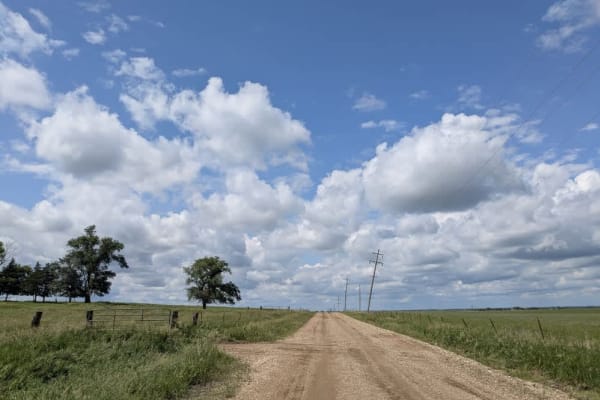
The trail is well-maintained and routinely graded to support a range of local use, from daily agricultural traffic by farmers to occasional travelers and outdoor enthusiasts passing through the area. Its good condition makes it easily accessible and reliable for all types of vehicles.
History
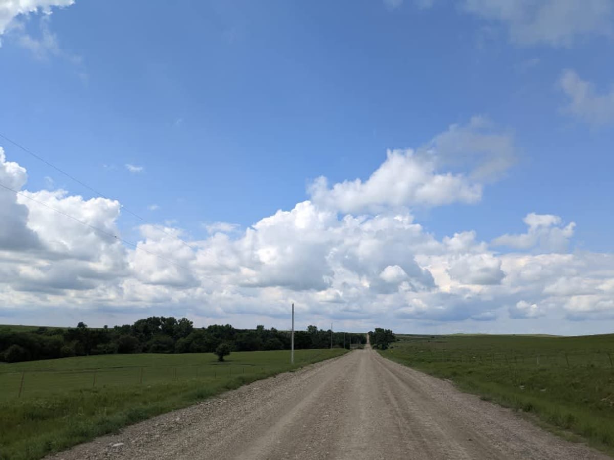
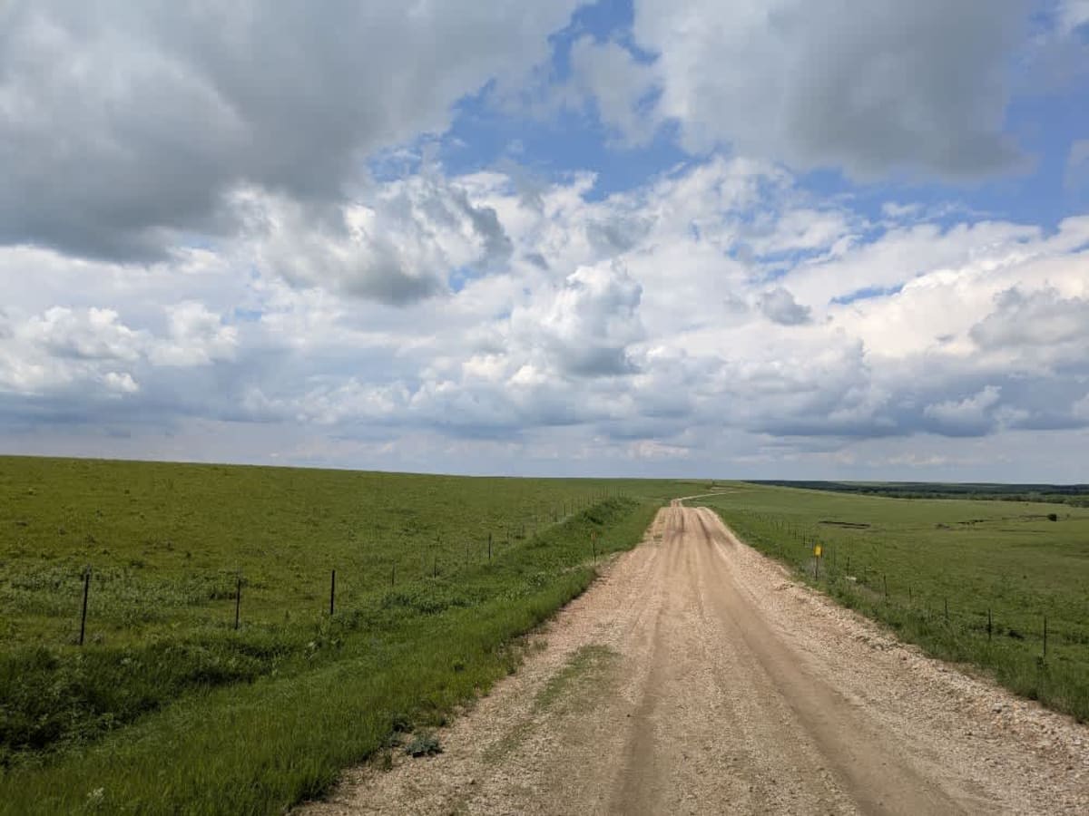
This route traces the historic heartland of the Flint Hills, a region that has remained largely untouched by modern agriculture due to its shallow, rocky soils--making it one of the last strongholds of North America's tallgrass prairie. The trails crosses land with deep cultural roots--from Native American hunting grounds to working cattle ranches. Expect long views over tallgrass prairie, passing ghost towns, century-old barns, and scenic byways that have carried generations of ranchers and travelers alike.