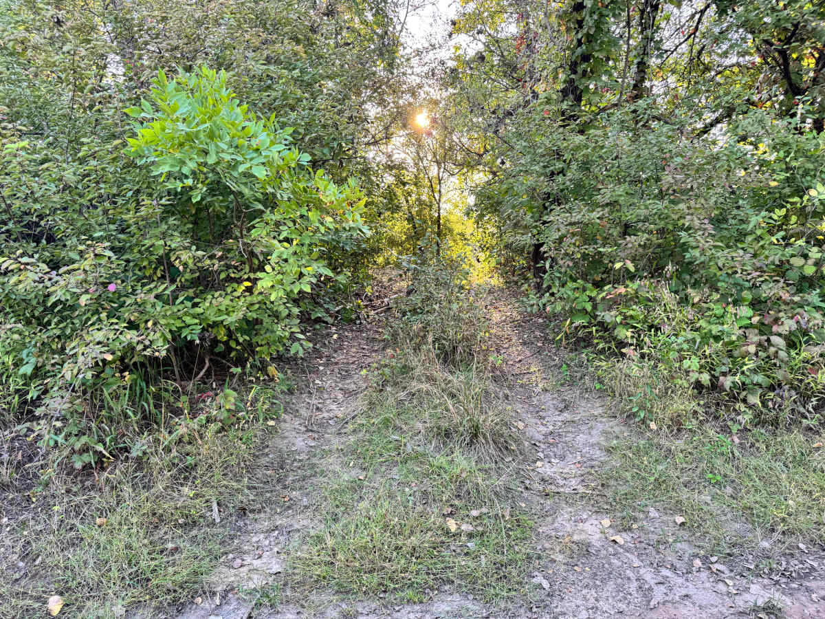
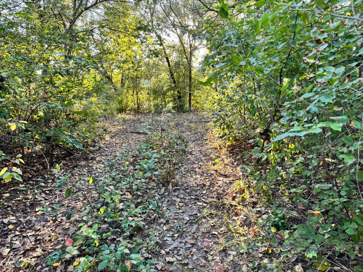
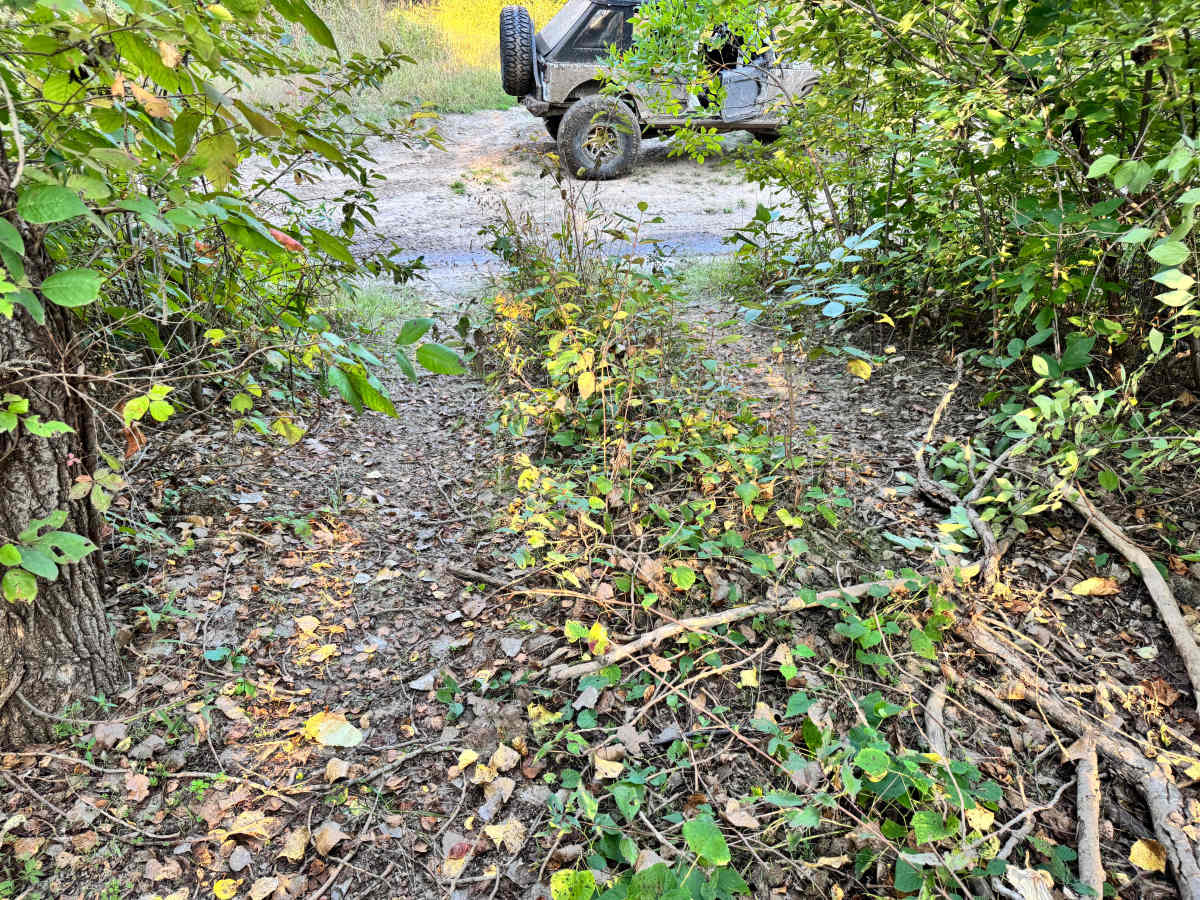
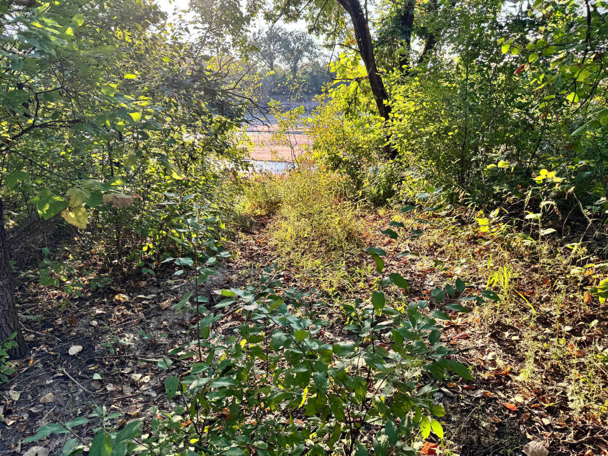
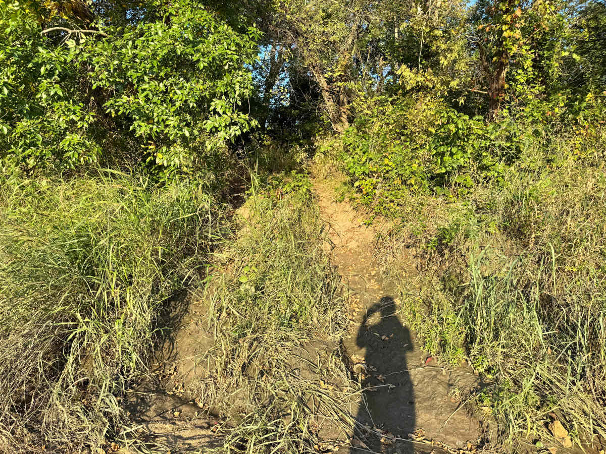
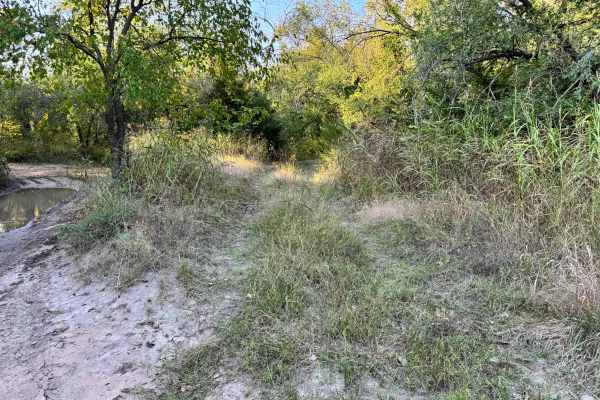
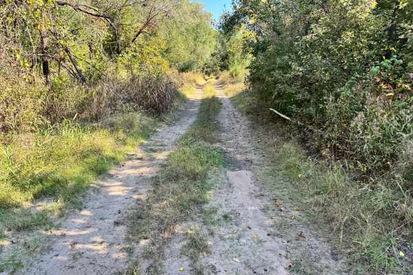
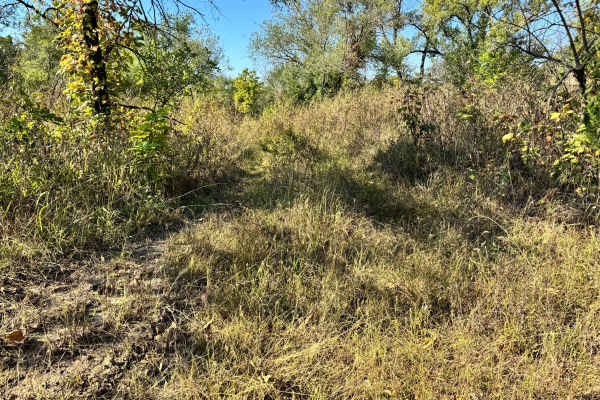
Trail Overview
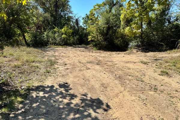
This trail leads directly down to the Arkansas River, ending at a sandbar that can offer scenic access, if conditions allow. However, drivers should pay close attention to river levels, as high water can quickly wash over the sandbar or change its shape overnight, making it unsafe or unusable. The approach is straightforward, but the trail itself is lined with noticeable overgrowth on both sides. Branches and brush may lean into the path, creating the possibility of light scratches or pinstriping, especially on wider vehicles or those with fresh paint. While there are no major obstacles along the route, caution and awareness are essential near the river’s edge. This trail is best approached slowly, with a visual check of the sandbar before committing to the descent.
Difficulty
This trail is generally easy, but caution is needed due to overgrowth and changing river conditions. Light pinstriping is possible, and the sandbar’s accessibility can vary with water levels. Suitable for most 4x4s with attentive driving near the river’s edge.
History
This park was formerly known as Sandy Bottoms, and longtime visitors may still refer to it by that name. The access road and staging area have evolved over time, but it remains a well-known local spot for off-road events and community rides.