
Beginner Off-Road Trails
Near Hull, Georgia
Explore All Beginner Trails Near Hull, Georgia
Beginner Off-Road Trails Near Hull, Georgia
Discover the best beginner-friendly off-road trails near you. These easier, lower-rated trails are a great place to start — browse trail maps, check difficulty ratings, and find your next adventure.
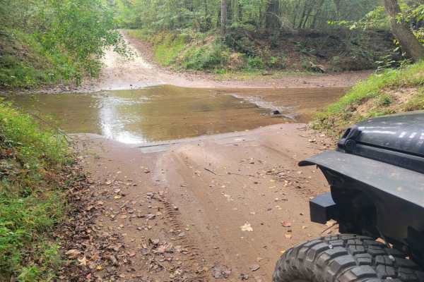
Skull Shoal Pass
This route passes through Oconee National Forest. It is well maintained and passable with most vehicles any time of the year. Muddy conditions can be encountered from time to time however, it should not limit the ability to travel the route. Several camping locations exist throughout the trail as we...
Learn more about Skull Shoal Pass
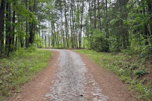
Watson Spring - FS 1202
Watson Spring (FS 1202) is a winding out-and-back trail leading from Highway 15 downhill towards the Oconee River. The trail does not actually reach all the way to the river, but it's a short hike to the shoreline. The roadbed is packed dirt with plenty of gravel, making it easily drivable in a pass...
Learn more about Watson Spring - FS 1202

Redlands WMA
The Redlands WMA Trail is an easy 1.5-mile dirt track south of Watkinsville, Georgia, perfect for hunters, anglers, and beginner offroaders seeking a quick, scenic excursion through the Redlands Wildlife Management Area. The route starts right off Athens Highway (US-129) and winds westward toward th...
Learn more about Redlands WMA

Billups - FS 1245
Billups Road is an out-and-back trail that winds through the Redlands Wildlife Management Area of the Oconee National Forest. It leads to a primitive camp and a primitive boat launch on the Oconee River just north of Oconee Lake. The trail surface is a generous one lane wide and is well maintained w...
Learn more about Billups - FS 1245
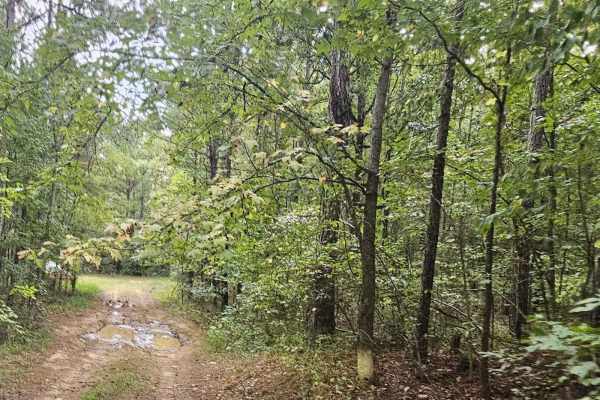
Cold Springs Road - FS 1245
This route is easily traveled and is well-maintained. Initially passing private property, Cold Springs Road leads to Redlands Wildlife Management Area and Billups Road (1245). Throughout this drive, some mud holes may be encountered however, they can be navigated with ease. Additionally, there are a...
Learn more about Cold Springs Road - FS 1245
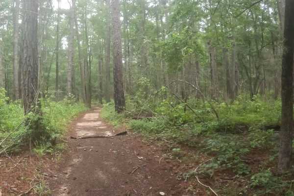
B Loop
Town Creek ORV is located in Onocee National Forest. The B Loop trail is fairly flat and made up of hard pack and red clay dirt with plenty of roots. The trail is ridden clockwise . The last two miles of the trail, are the most challenging due downhill trail erosion. There are many bridges on the t...
Learn more about B Loop
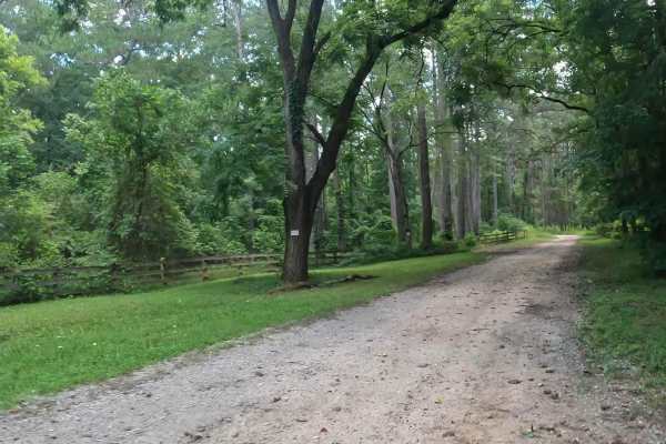
Penfield Hunt Camp Road
Penfield Hunt Camp Road is located in the Oconee National Forest. This road is mostly flat, with a few pothole exceptions. If you are traveling with a long trailer, drive slowly; the road is passable. At the end of the road, you'll find three fire rings, a large turnaround loop, a pit toilet, handic...
Learn more about Penfield Hunt Camp Road
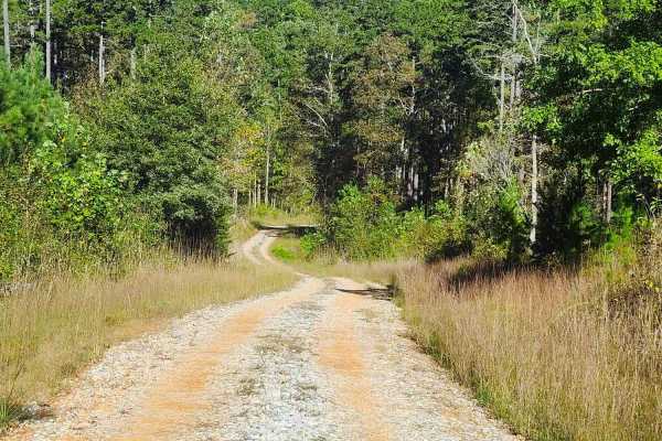
Beaver Swamp Trail
This scenic 2.6-mile, single-lane out-and-back trail winds through steep slopes, winding turns, and rolling dips, offering occasional passing areas, dispersed campsites, and short exploratory spurs. The route passes through private property boundaries and ends near a gated private property boundary ...
Learn more about Beaver Swamp Trail
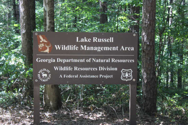
Red Root Road- FS 92
Red Root Road, also known as FSR 92, is a route that traverses the Lake Russel WMA from just outside Toccoa, GA to Mt. Airy, GA. This route can be used to access seasonal routes within the WMA area. Multiple areas can be found for camping, especially along the Middle Fork Broad River. If camping, p...
Learn more about Red Root Road- FS 92
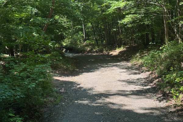
Post Oak Corner - FS 193
Post Oak Corner (FSR193) is a 1.5-mile out-and-back route that follows a lightly maintained packed dirt and gravel surface through heavily forested terrain. The road is a single lane with places to pass and carries an easy difficulty rating, providing a straightforward drive while retaining the narr...
Learn more about Post Oak Corner - FS 193
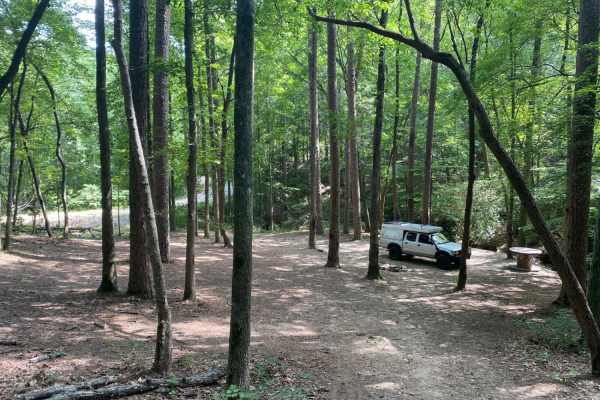
Brown Bottom Road
Brown Bottom Road is located in the center of a section of the Chattahoochee National Forest outside of Cornelia, GA. This road is wide, covered in large gravel and wide enough for two vehicles to pass in most sections. However, it's important to remember safe driving practices due to some steep cu...
Learn more about Brown Bottom Road
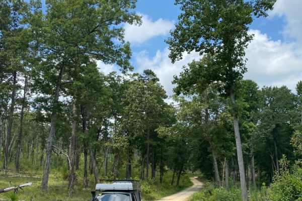
Guard Camp Road
Guard Camp Road is located in the Chattahoochee National Forest near Cornelia, GA. Nearby, you can visit Tallulah Gorge, view the waterfalls, explore downtown Clayton and fish in the numerous waterways. While camping is available throughout the region, this section of national forest seems less trav...
Learn more about Guard Camp Road
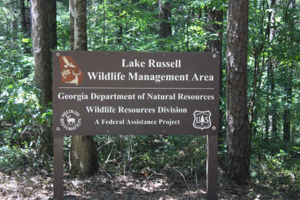
Georgia Mountain Orchard
Georgia Mountain Orchard Road is an easy route into the Lake Russel WMA. This route begins just outside of Cornelia, Georgia. This road can be driven in 2WD and is a relaxing trek overall. Driving south, you will encounter Austin Cemetery on the left. It is easy to pass if you are not looking for it...
Learn more about Georgia Mountain Orchard

Currahee Mountain Road FSR 62
Currahee Mountain FSR 62, is a gravel-based Forestry Road up the Northern Georgia Mountain of the same name, located within the southeastern rim of the Chattahoochee National Forest, specifically the eastern side of the Lake Russell Wildlife Management Area. The road is generally well maintained, bu...
Learn more about Currahee Mountain Road FSR 62
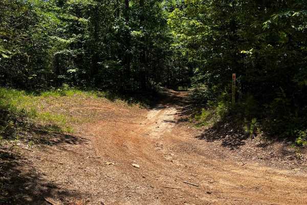
Locust Stake Ranger Run - 148
Part of the Locust Stake OHV system. The trail is for ATVs and Dirt Bikes. The trail is moderate to easy, clay hard base. The trail is 2-way, so be cautious and stay to the right. First trail to the right, leaving the trailhead staging area.
Learn more about Locust Stake Ranger Run - 148
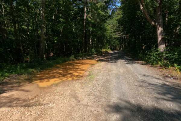
Locust Stake Road
The Locust Stake Road is a mostly gravel county road going through a small southeastern quadrant of the Chattahoochee-Oconee National Forest that exists between Rock Road (where Currahee Mountain can be seen in the southern distance) and Bend'N Hickory Road (which is on the northwest side of Toccoa ...
Learn more about Locust Stake Road
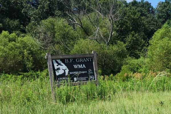
Hearnville Pond Trail
This 2.8-mile trail through B.F Grant Wildlife Management Area near Madison, Georgia, it winds through rolling farmland, open fields, ponds, creeks, and wetlands, ending at a fishing pond. The terrain includes a mixture of maintained gravel, packed clay, ruts, washouts, rock gardens, and sand. Weath...
Learn more about Hearnville Pond Trail
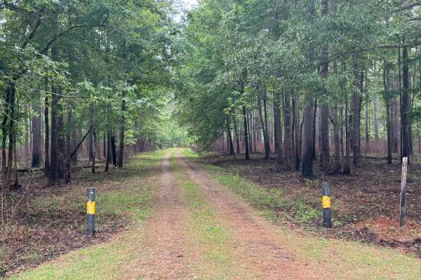
Vinning - FS 1092
Vinning (FS 1092) is a short, gentle, and beautiful ride through the far northeast section of the Oconee National Forest close to the Oconee Ranger Station. Its eastern end is along the well-manicured Rock Eagle Road and the entrance to the Rock Eagle 4-H Center. The trail winds through large stands...
Learn more about Vinning - FS 1092
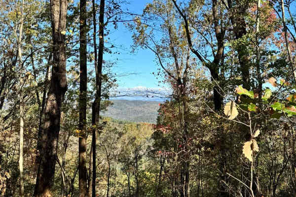
Lee Mountain Road - FS 181
Lee Mountain Road (FS 181) is a fun mix of gravel and mud, with a few ruts and mud holes to keep things interesting! If your vehicle doesn't have decent ground clearance or 4x4, you might find some sections a bit tricky--especially after it rains, when the trail can get pretty slick. The trail start...
Learn more about Lee Mountain Road - FS 181
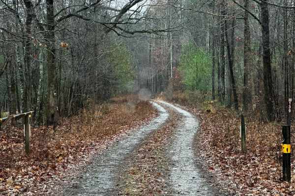
Black Mountain Road - FSR 139
Black Mountain Road is an out-and-back trail that gets you near the top of Black Mountain (1509ft). This route has a special designation and is only open from 8/30-1/9. This area is used for hunting, so be sure to be aware of your surroundings, and if you get out to hike to the top of the mountain, ...
Learn more about Black Mountain Road - FSR 139
Beginner ATV trails near Hull, Georgia
Explore ATV-friendly trails near you. These trails are accessible for vehicles up to 50 inches wide, perfect for ATVs and smaller off-road machines.
B Loop
Town Creek ORV is located in Onocee National Forest. The B Loop trail is fairly flat and made up of hard pack and red clay dirt with plenty of roots. The trail is ridden clockwise . The last two miles of the trail, are the most challenging due downhill trail erosion. There are many bridges on the t...
Learn more about B Loop
Penfield Hunt Camp Road
Penfield Hunt Camp Road is located in the Oconee National Forest. This road is mostly flat, with a few pothole exceptions. If you are traveling with a long trailer, drive slowly; the road is passable. At the end of the road, you'll find three fire rings, a large turnaround loop, a pit toilet, handic...
Learn more about Penfield Hunt Camp Road
Beaver Swamp Trail
This scenic 2.6-mile, single-lane out-and-back trail winds through steep slopes, winding turns, and rolling dips, offering occasional passing areas, dispersed campsites, and short exploratory spurs. The route passes through private property boundaries and ends near a gated private property boundary ...
Learn more about Beaver Swamp Trail
Red Root Road- FS 92
Red Root Road, also known as FSR 92, is a route that traverses the Lake Russel WMA from just outside Toccoa, GA to Mt. Airy, GA. This route can be used to access seasonal routes within the WMA area. Multiple areas can be found for camping, especially along the Middle Fork Broad River. If camping, p...
Learn more about Red Root Road- FS 92
Beginner UTV/side-by-side trails near Hull, Georgia
Find UTV and side-by-side trails near you. These trails accommodate vehicles up to 60 inches wide, ideal for UTVs, side-by-sides, and wider off-road rigs.
Penfield Hunt Camp Road
Penfield Hunt Camp Road is located in the Oconee National Forest. This road is mostly flat, with a few pothole exceptions. If you are traveling with a long trailer, drive slowly; the road is passable. At the end of the road, you'll find three fire rings, a large turnaround loop, a pit toilet, handic...
Learn more about Penfield Hunt Camp Road
Beaver Swamp Trail
This scenic 2.6-mile, single-lane out-and-back trail winds through steep slopes, winding turns, and rolling dips, offering occasional passing areas, dispersed campsites, and short exploratory spurs. The route passes through private property boundaries and ends near a gated private property boundary ...
Learn more about Beaver Swamp Trail
Red Root Road- FS 92
Red Root Road, also known as FSR 92, is a route that traverses the Lake Russel WMA from just outside Toccoa, GA to Mt. Airy, GA. This route can be used to access seasonal routes within the WMA area. Multiple areas can be found for camping, especially along the Middle Fork Broad River. If camping, p...
Learn more about Red Root Road- FS 92
Post Oak Corner - FS 193
Post Oak Corner (FSR193) is a 1.5-mile out-and-back route that follows a lightly maintained packed dirt and gravel surface through heavily forested terrain. The road is a single lane with places to pass and carries an easy difficulty rating, providing a straightforward drive while retaining the narr...
Learn more about Post Oak Corner - FS 193
The onX Offroad Difference
onX Offroad combines trail photos, descriptions, difficulty ratings, width restrictions, seasonality, and more in a user-friendly interface. Available on all devices, with offline access and full compatibility with CarPlay and Android Auto. Discover what you're missing today!
Open Trail Map