Trail Overview
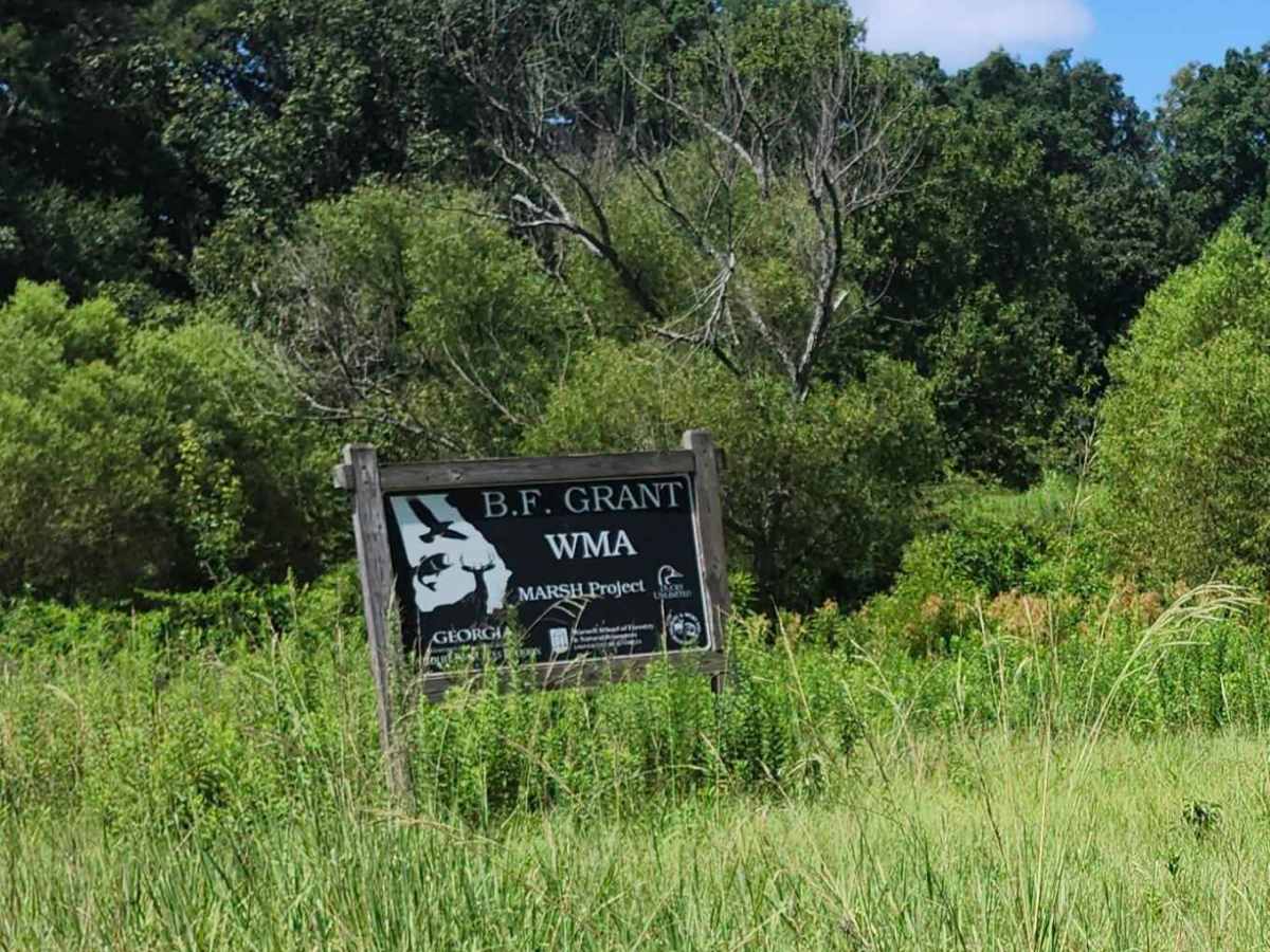
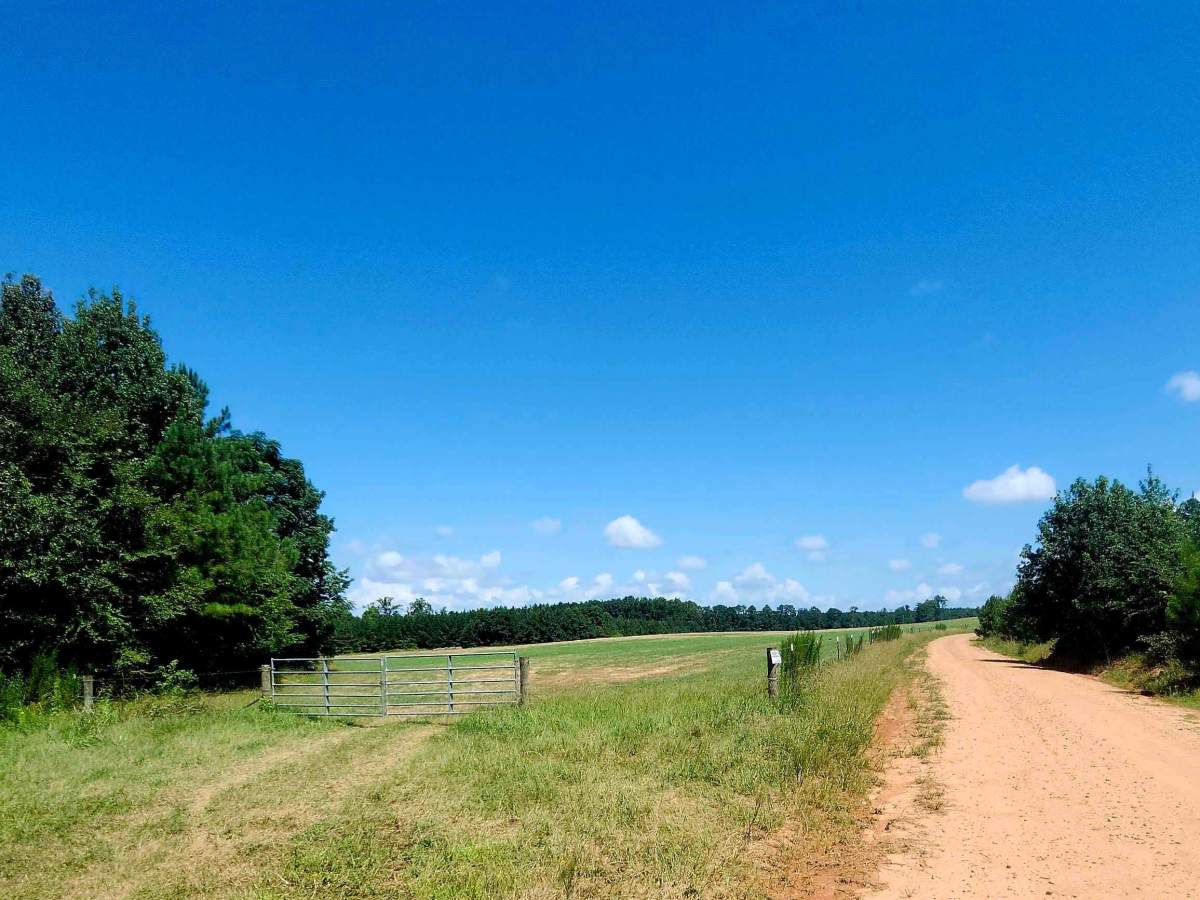
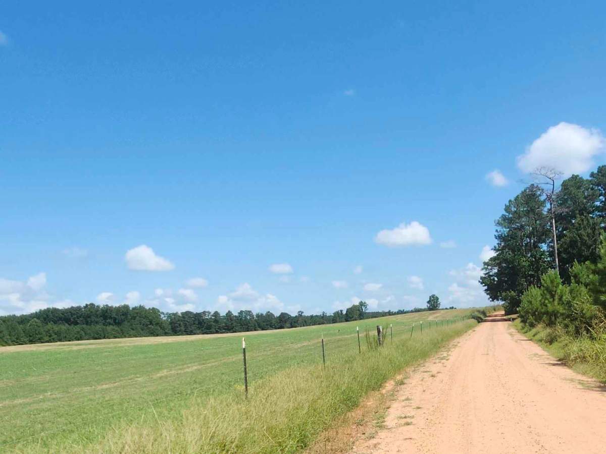
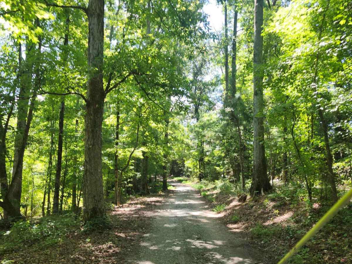
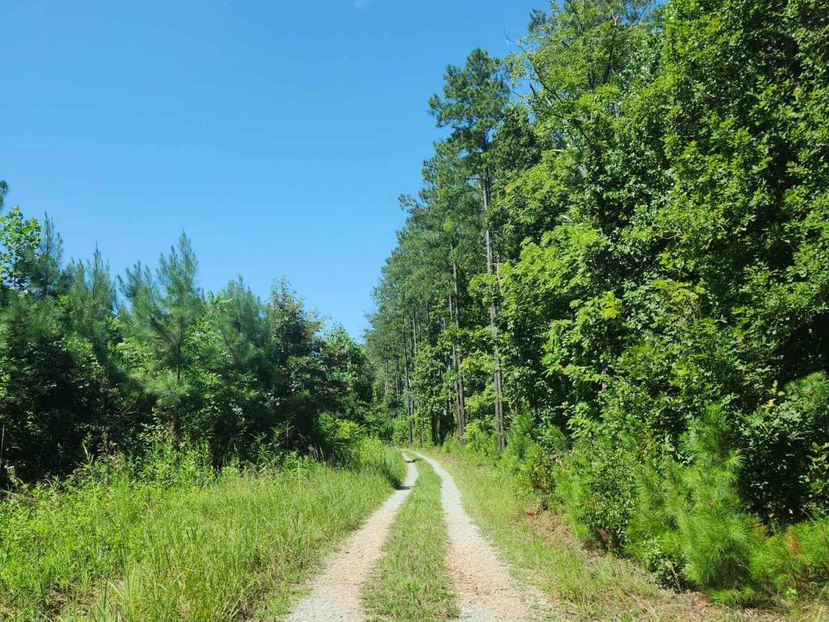
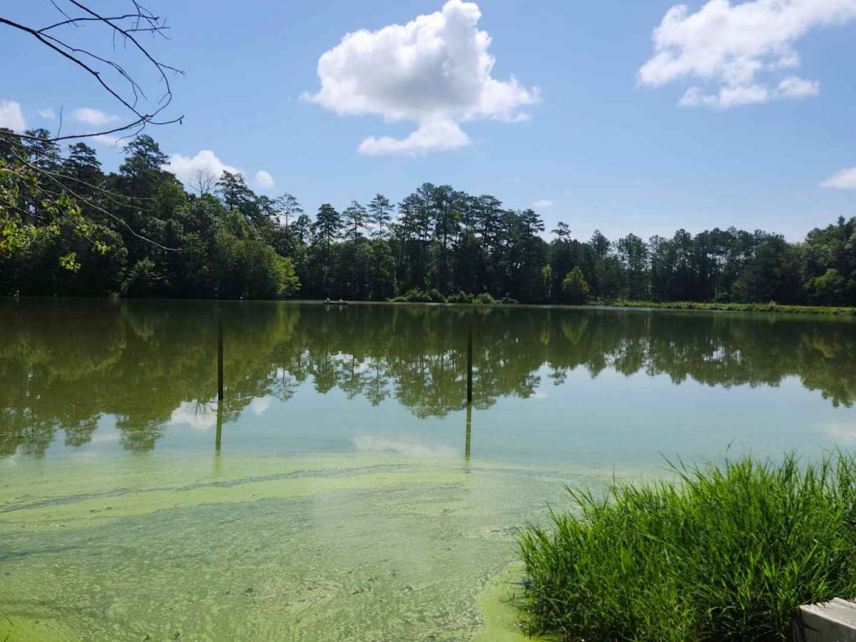
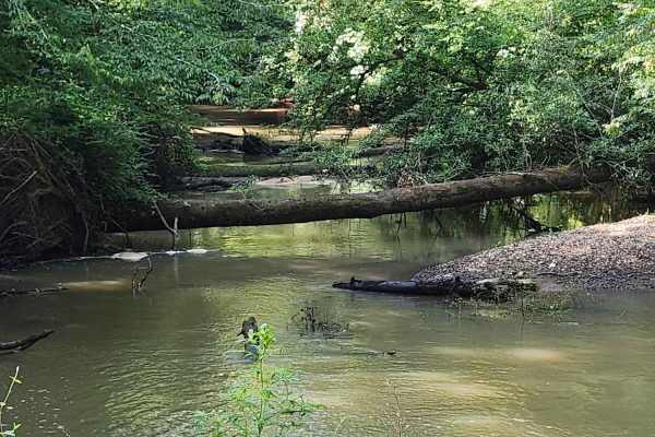
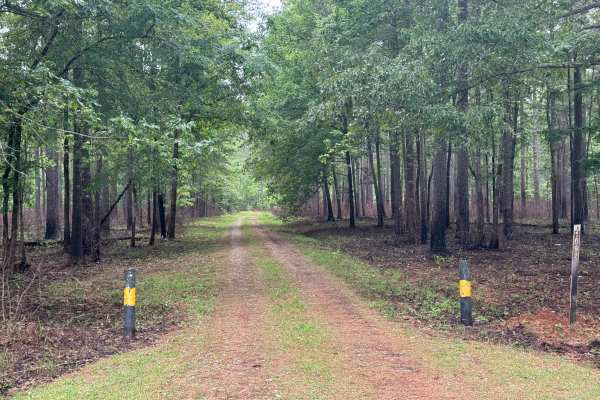
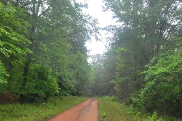
This 2.8-mile trail through B.F Grant Wildlife Management Area near Madison, Georgia, it winds through rolling farmland, open fields, ponds, creeks, and wetlands, ending at a fishing pond. The terrain includes a mixture of maintained gravel, packed clay, ruts, washouts, rock gardens, and sand. Weather can alter conditions, with wetland areas becoming unstable, muddy, and challenging even when dry. Appropriate GA Department of Natural Resources land permits are required. Camping is allowed only in designated areas, and the pond offers a ramp for non-engine-powered boats. The majority of the trail is wide enough for 2 vehicles and for passing; however, once the turn is made towards the pond, the trail becomes a non-passing single lane with pinstriping possibilities in the spring and summer months.
Difficulty
For the most part, the trail is very well maintained; however, in the locations near wetlands, the terrain appears to be dirt, sand, muddy, and wet, even when conditions are dry otherwise. Approach these areas with caution. The entire route can change with weather conditions. After turning towards the pond, the trail will become one-lane with the potential for pinstriping in the spring and summer months.
History
B.F. Grant Wildlife Management Area is a University of Georgia-owned property managed cooperatively with the Georgia Department of Natural Resources. Its roots go back to the Central Georgia Experiment Station, a University of Georgia agricultural and forestry research property.


 Offroad