Beaver Swamp Trail

Total Miles2.3
Technical Rating
3Easy
Best TimeSpring, Summer, Fall, Winter
Trail TypeFull-Width Road
Accessible By
Open Trail Map

Trail Overview

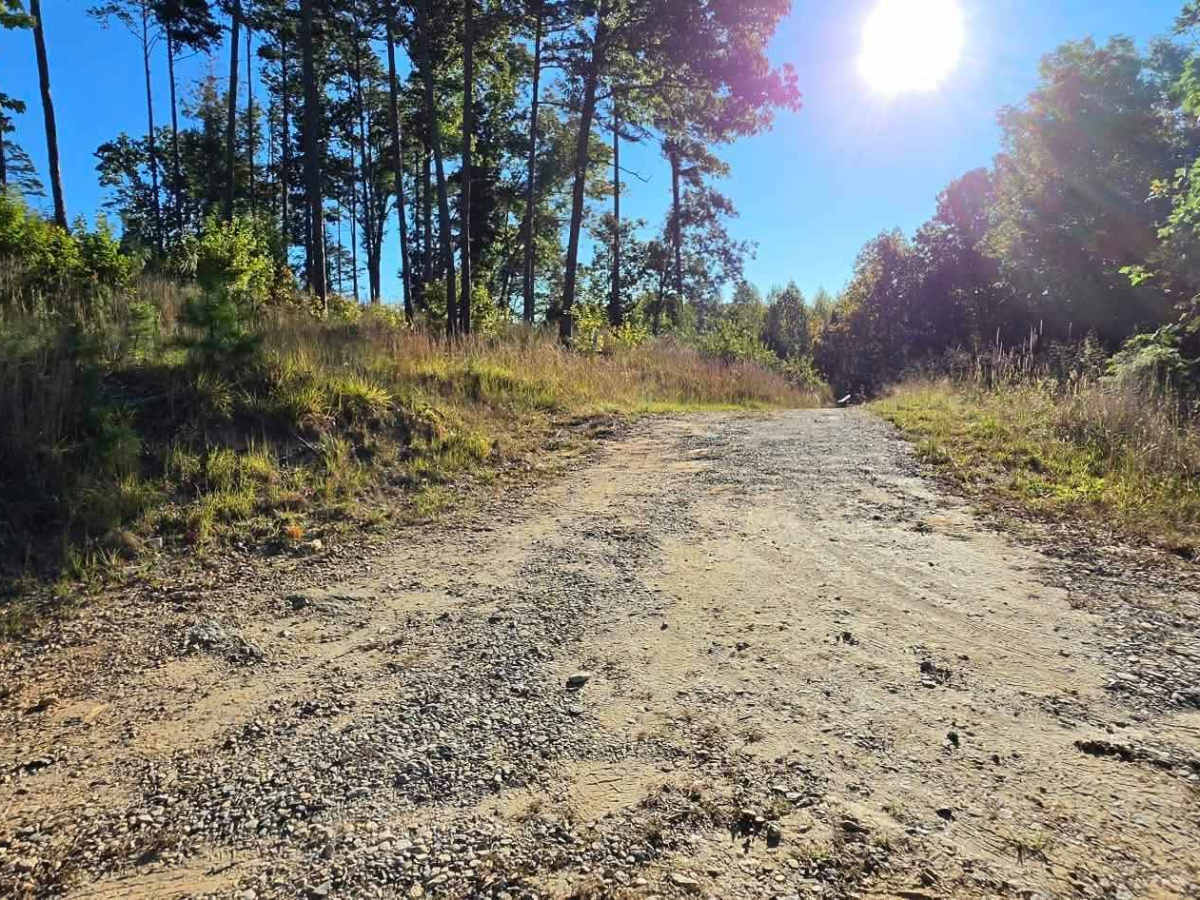
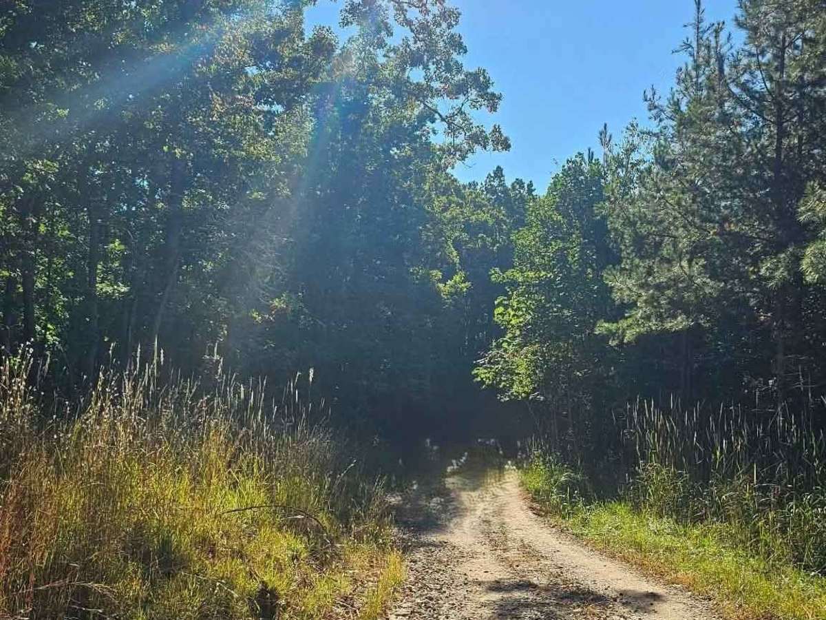
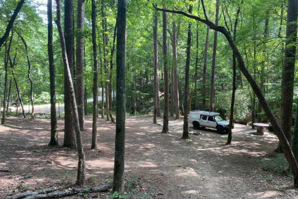
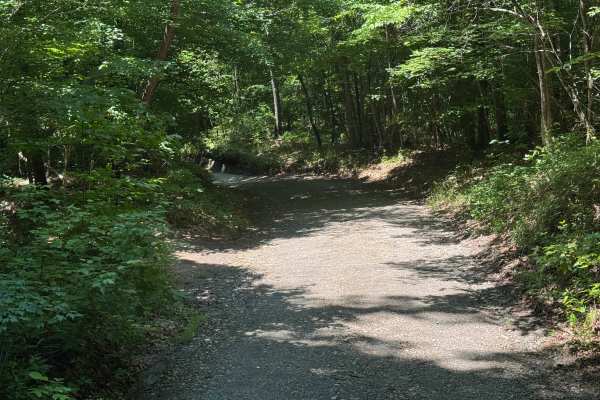
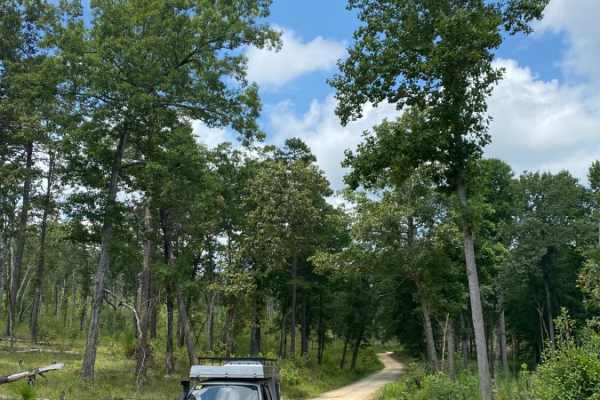
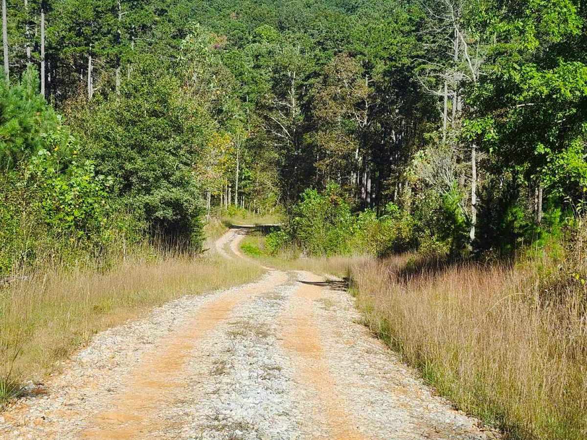
This scenic 2.6-mile, single-lane out-and-back trail winds through steep slopes, winding turns, and rolling dips, offering occasional passing areas, dispersed campsites, and short exploratory spurs. The route passes through private property boundaries and ends near a gated private property boundary with a spacious camping area accommodating multiple rigs and a right-hand access restricted to authorized handicap use. Respect property boundaries and Tread Lightly.

Photos of Beaver Swamp Trail

Difficulty

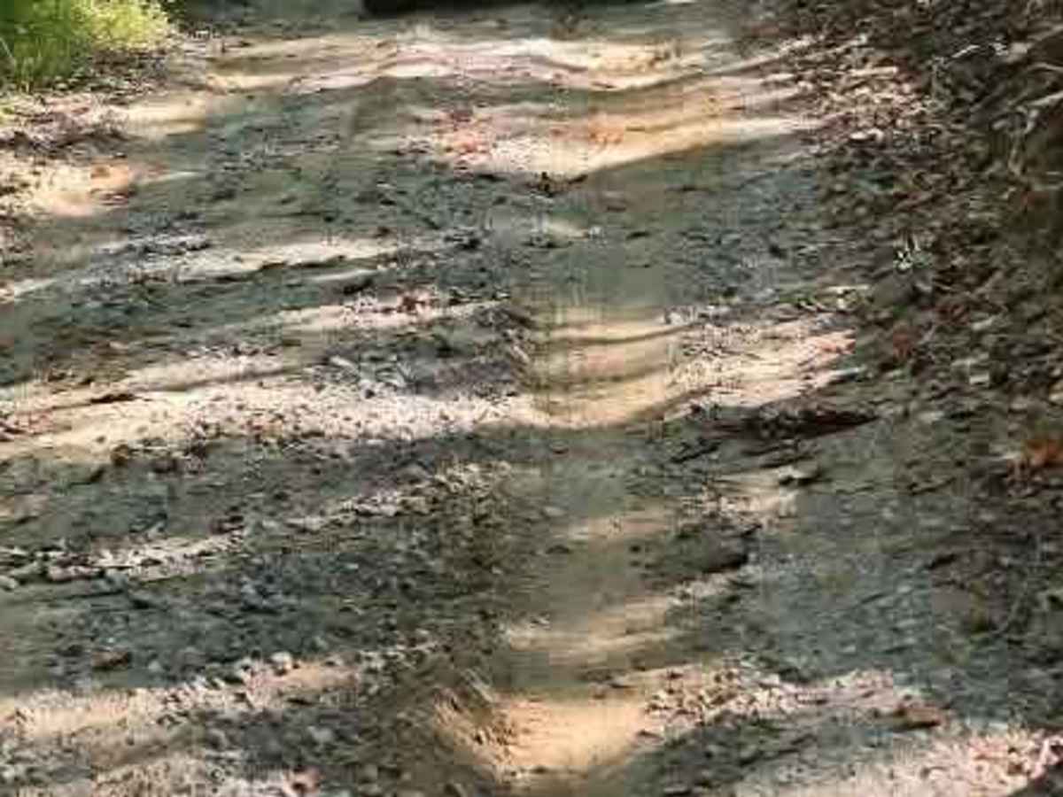
Due to the steep slopes, ruts and washouts 4WD and High Clearance is required.

History

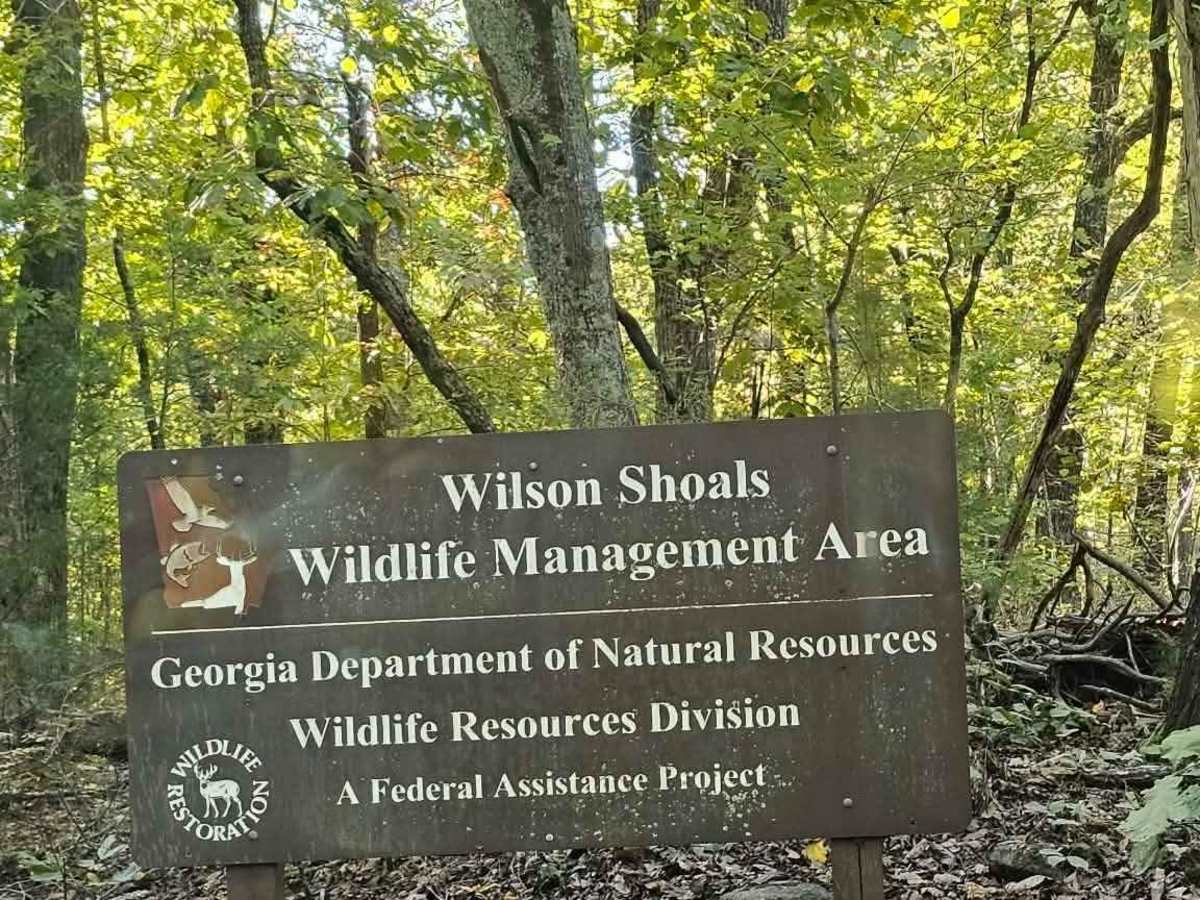
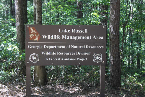
Wilson Shoals WMA. Acquired by Georgia in 1993, this 2,800-acre landscape has transitioned from agricultural and logging uses into protected wildlife habitat. Today, the area provides access to scenic woodlands, rugged ridges, primitive camping areas, and nearby Squirrel Rock Falls.

Technical Rating

3

Beaver Swamp Trail Trail can be accessed by the following ride types:

  • Single Track
  • 50 Inch
  • 60 Inch
  • High Clearance
  • Full Width

Beaver Swamp Trail Map

The onX Offroad Difference

onX Offroad combines trail photos, descriptions, difficulty ratings, width restrictions, seasonality, and more in a user-friendly interface. Available on all devices, with offline access and full compatibility with CarPlay and Android Auto. Discover what you're missing today!

Open Trail Map