Trail Overview
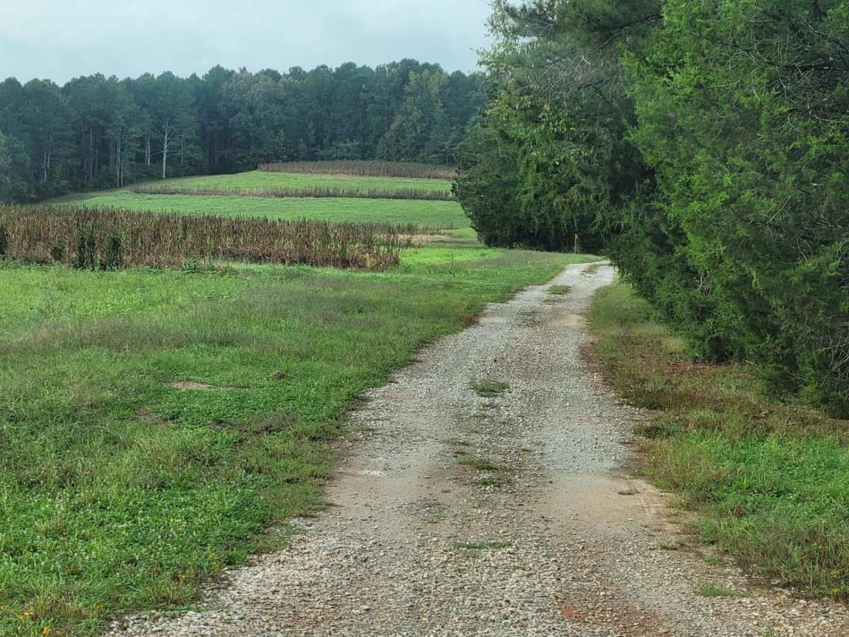
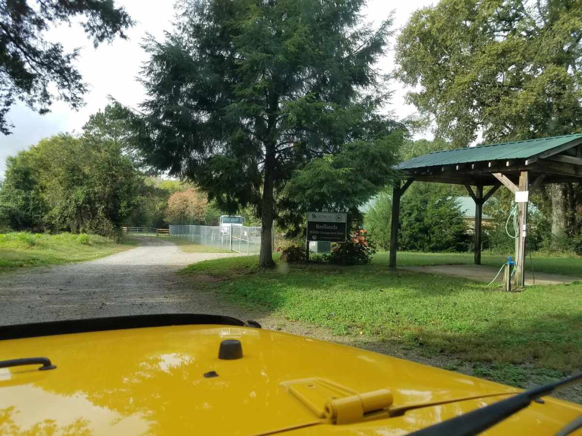
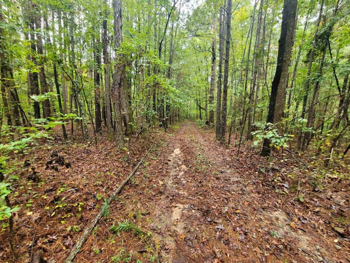
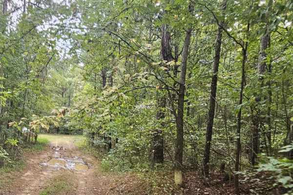
The Redlands WMA Trail is an easy 1.5-mile dirt track south of Watkinsville, Georgia, perfect for hunters, anglers, and beginner offroaders seeking a quick, scenic excursion through the Redlands Wildlife Management Area. The route starts right off Athens Highway (US-129) and winds westward toward the Oconee River and Harris Creek, offering immediate access to the heavily forested public land. With a modest elevation ranging from 446 to 614 feet, the trail is generally flat but can become quite muddy and slick following rainfall, requiring a high-clearance four-wheel-drive vehicle to navigate safely when wet. Under dry conditions, the trail is easily manageable for most stock SUVs and trucks with basic off-road capability.
As you traverse the unpaved surface, you will experience a total elevation loss of approximately 183 feet as the path heads toward the river basin, with maximum pitches reaching up to 14 degrees. Because the trail lies entirely within the Redlands Wildlife Management Area, visitors must possess a valid Georgia DNR hunting or fishing license, or a Lands Pass, to access the area legally. The trail ends near the Oconee River flats, making it an excellent launching point or access corridor for dispersed recreation, hunting, or bank fishing. Be mindful of seasonal hunting schedules and local regulations, and always pack out what you pack in to help preserve this quiet pocket of Georgia's outdoors.
Access Description
A valid Georgia Department of Natural Resources (DNR) hunting license, fishing license, or Lands Pass is required for all visitors aged 16 and older to access the Redlands Wildlife Management Area. The area is subject to seasonal hunting closures; check the official Georgia DNR website for current hunting regulations and schedules.





 Offroad