
Beginner Off-Road Trails
Near Heceta Beach, Oregon
Explore All Beginner Trails Near Heceta Beach, Oregon
Beginner Off-Road Trails Near Heceta Beach, Oregon
Discover the best beginner-friendly off-road trails near you. These easier, lower-rated trails are a great place to start — browse trail maps, check difficulty ratings, and find your next adventure.
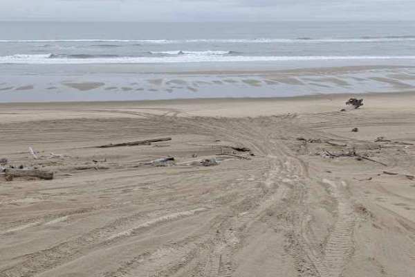
South Jetty Sand Road
This sand track starts at the South Jetty Staging Area and ends at the beach. It often has some whoops, but is usually not terribly soft. The track also passes through (or around with a detour) the Goose Pasture Staging Area. Both of these staging areas have bathrooms. Most of it is easy, with the e...
Learn more about South Jetty Sand Road
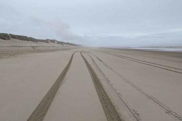
South Jetty Open Beach
This track marks the area of the beach open to driving and riding. Signs posted at the north and south ends mark areas that are closed to motor vehicles. This track is mostly packed sand, but access to it will be over a loose sandy dune. There are multiple access paths, marked with numbered signs vi...
Learn more about South Jetty Open Beach
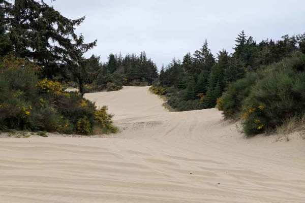
South Jetty Trail A - FS 1344A
This sandy route connects the South Jetty Sand Road to open dunes further south, and also to the South Jetty Trail B that continues further south. This trail runs along the eastern boundary of the area open to motorized vehicles in places, and the boundary is marked in several places. There are some...
Learn more about South Jetty Trail A - FS 1344A
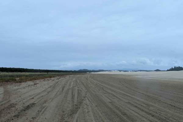
Open West
This track is along the west side of the open riding area. It is commonly used to travel from one part of the area to another, and is generally the easiest way to do so. Along the way, there are several side trails to the west leading to the beach. The entire track is on sand, with some of it being ...
Learn more about Open West
Coast Guard OHV Trail
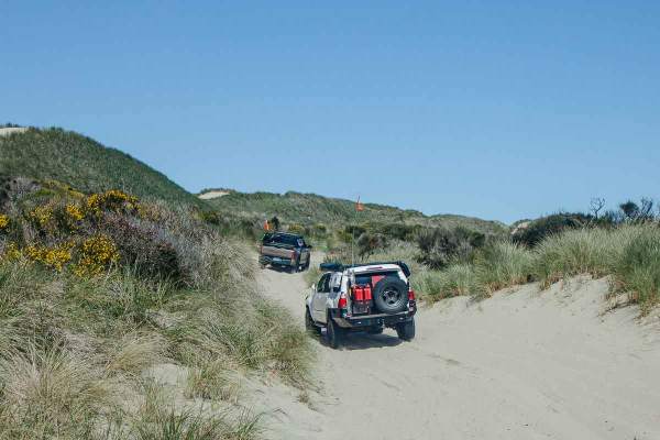
This trail parallels the coastline, connecting Siltcoos Day Use to South Jetty Access, with multiple links to the open-ride beach. It winds through coastal grasses and shrubs, with frequent bald eagle and wildflower sightings. The trail is narrow, though passable for oncoming traffic. Expect continu...
Learn more about Coast Guard OHV Trail
Fairview
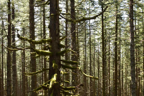
Fairview provides access into the Siuslaw National Forest by following a ridge to Fairview Mountain and connecting to a network of other forest service roads at the top. There are a couple of options for dispersed camping by exploring some spurs to the side of the road. Fairview borders the Rock Cre...
Learn more about Fairview
Popo
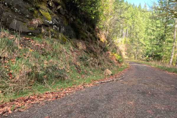
This fast, 10.5-mile gravel artery serves as a primary ascent from the coastal lowlands of South Canary Road into the rugged timberlands of the Siuslaw National Forest. The route is a well-graded, single-lane haul road that winds steadily upward through a mosaic of active commercial logging tracts. ...
Learn more about Popo
Oregon Coast Trail to Sea Lion Caves
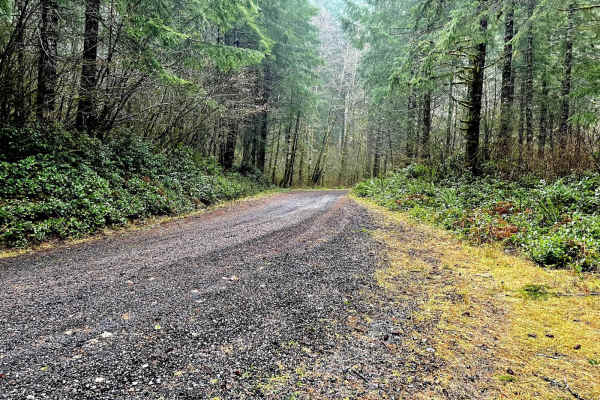
This trail runs through the Siuslaw National Forest. It is an easy gravel road with a very dense forest with lots of old-growth trees. There are multiple side trails to run for further exploration, including roads up to where old lookout towers used to be that have great views. There are some disper...
Learn more about Oregon Coast Trail to Sea Lion Caves
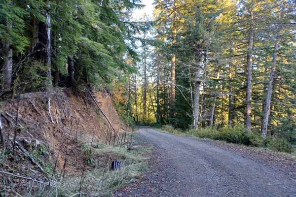
5800
Forest Road 5800 offers an easy, scenic drive through the lush canopy of the Oregon Coast Range in the Siuslaw National Forest, making it perfect for beginners and drivers looking for a relaxing route. Stretching approximately 4.9 miles, this gravel road features gentle elevation changes as it winds...
Learn more about 5800
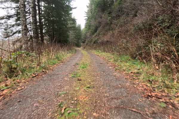
FS 4811
This 13-mile solitary traverse offers a distinct change of pace from the wider mainlines of the Siuslaw National Forest. Connecting Highway 48A to the Popo / FS 48300 network, this route feels like a secret passage forgotten by heavy industry. The road is defined by its tight, claustrophobic single-...
Learn more about FS 4811
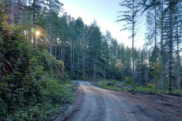
Boundary
Boundary Road is an easy gravel road that runs through the Siuslaw National Forest. It is a busy road for logging, so be careful around corners. You will find a few small spots off the side of the road where you could park and camp, but none that have fire pits, most spots are only big enough for on...
Learn more about Boundary
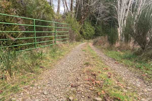
FS 4811011
This fast, 6.2-mile gravel artery serves as a crucial logistical link between the pastoral Lower Smith River Road (Highway 48) and the deeper interior of the Siuslaw National Forest (via FS 4811). The route navigates a complex "checkerboard" of land ownership, transitioning seamlessly through active...
Learn more about FS 4811011
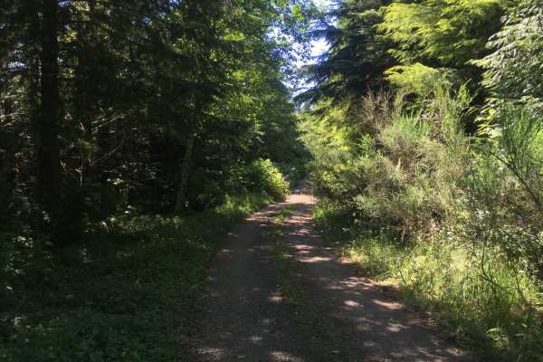
Route 5506 - Siuslaw Natl Forest
This is a short, dirt forest road South of Yachats, Oregon that leads to six dispersed camping sites. The first five sites are reachable using most any type of vehicle, but the finale is a campsite with views of valleys on three sides that is only accessible with 4WD. The road starts as a gentle, ha...
Learn more about Route 5506 - Siuslaw Natl Forest
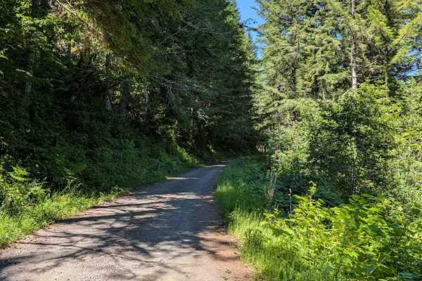
Yachats River Road - FS 54
This track begins where the pavement ends on Yachats River Road. It follows the river for the first bit, giving some good views. It is an easy gravel road, wide enough for two vehicles to meet for much of its length. The Motor Vehicle Use Map shows it is only open to street-legal vehicles, including...
Learn more about Yachats River Road - FS 54
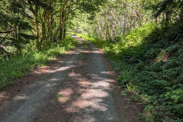
E Buck Cr Rd - FS 3705
This is an easy gravel road that is single-lane in places. It travels through a lush forest with thick undergrowth in most places. The track connects the FS 58 road to East Five Rivers Road (great if you like curvy paved roads). The Motor Vehicle Use Map shows this road as open only to street-legal ...
Learn more about E Buck Cr Rd - FS 3705
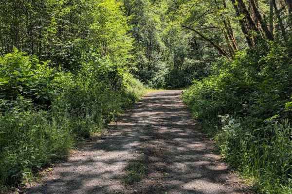
FS 5304
This is an easy gravel road that takes you through a lush forest with significant undergrowth. The Motor Vehicle Use map shows it is open only to street-legal vehicles, which does include street legal motorcycles. It is mostly single-lane. This track connects the FS 3462 Road to the FS 53 Road.
Learn more about FS 5304
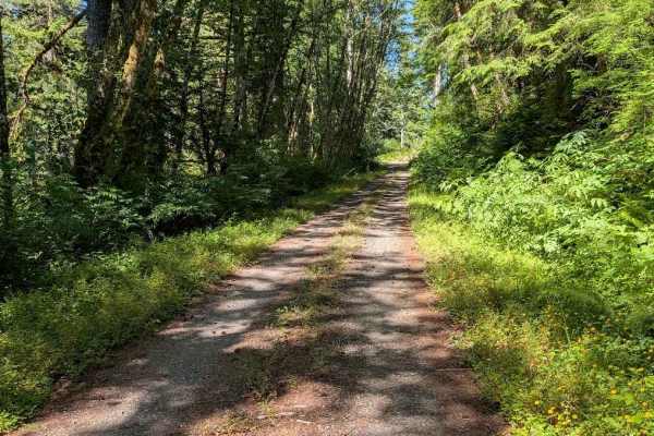
Lake Creek Rd - FS 3210
This is an easy single lane gravel road, connecting the FS 58 road to East Five Rivers Road via a section of single lane paved forest road. The paved portion is actually more overgrown in places than the gravel road. The Motor Vehicle Use Map shows this road as open to street-legal vehicles only, wh...
Learn more about Lake Creek Rd - FS 3210
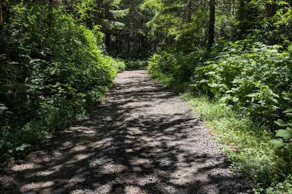
FS 5360
This is an easy gravel road, wide enough to meet another vehicle for much of its length, but also overgrown a bit and single-lane wide in places. It appears to be used more frequently, as shown by numerous fairly deep potholes. The Motor Vehicle Use Map shows it is only open to street-legal vehicles...
Learn more about FS 5360
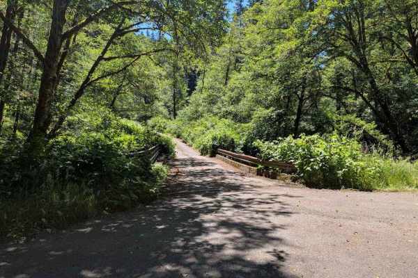
FS 5860
This is an easy gravel road with no real obstacles. It is a single lane wide for parts of the track. The track takes you through a lush forest with significant undergrowth. It connects from FS 58 to FS 3462, both of which are paved forest roads for at least much of their length. The Motor Vehicle Us...
Learn more about FS 5860
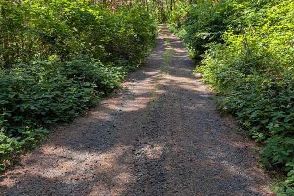
Grass Creek Rd - FS 3430
This is an easy gravel road that is overgrown in places. The track begins where the pavement ends on Grass Creek Road. It is a two-track for much of its length, starting wider and then narrowing and becoming more overgrown. The road is open to all vehicle classes, but even a motorcycle will be pushi...
Learn more about Grass Creek Rd - FS 3430
Beginner ATV trails near Heceta Beach, Oregon
Explore ATV-friendly trails near you. These trails are accessible for vehicles up to 50 inches wide, perfect for ATVs and smaller off-road machines.
South Jetty Sand Road
This sand track starts at the South Jetty Staging Area and ends at the beach. It often has some whoops, but is usually not terribly soft. The track also passes through (or around with a detour) the Goose Pasture Staging Area. Both of these staging areas have bathrooms. Most of it is easy, with the e...
Learn more about South Jetty Sand Road
South Jetty Open Beach
This track marks the area of the beach open to driving and riding. Signs posted at the north and south ends mark areas that are closed to motor vehicles. This track is mostly packed sand, but access to it will be over a loose sandy dune. There are multiple access paths, marked with numbered signs vi...
Learn more about South Jetty Open Beach
South Jetty Trail A - FS 1344A
This sandy route connects the South Jetty Sand Road to open dunes further south, and also to the South Jetty Trail B that continues further south. This trail runs along the eastern boundary of the area open to motorized vehicles in places, and the boundary is marked in several places. There are some...
Learn more about South Jetty Trail A - FS 1344A
Open West
This track is along the west side of the open riding area. It is commonly used to travel from one part of the area to another, and is generally the easiest way to do so. Along the way, there are several side trails to the west leading to the beach. The entire track is on sand, with some of it being ...
Learn more about Open West
Beginner UTV/side-by-side trails near Heceta Beach, Oregon
Find UTV and side-by-side trails near you. These trails accommodate vehicles up to 60 inches wide, ideal for UTVs, side-by-sides, and wider off-road rigs.
South Jetty Sand Road
This sand track starts at the South Jetty Staging Area and ends at the beach. It often has some whoops, but is usually not terribly soft. The track also passes through (or around with a detour) the Goose Pasture Staging Area. Both of these staging areas have bathrooms. Most of it is easy, with the e...
Learn more about South Jetty Sand Road
South Jetty Open Beach
This track marks the area of the beach open to driving and riding. Signs posted at the north and south ends mark areas that are closed to motor vehicles. This track is mostly packed sand, but access to it will be over a loose sandy dune. There are multiple access paths, marked with numbered signs vi...
Learn more about South Jetty Open Beach
South Jetty Trail A - FS 1344A
This sandy route connects the South Jetty Sand Road to open dunes further south, and also to the South Jetty Trail B that continues further south. This trail runs along the eastern boundary of the area open to motorized vehicles in places, and the boundary is marked in several places. There are some...
Learn more about South Jetty Trail A - FS 1344A
Open West
This track is along the west side of the open riding area. It is commonly used to travel from one part of the area to another, and is generally the easiest way to do so. Along the way, there are several side trails to the west leading to the beach. The entire track is on sand, with some of it being ...
Learn more about Open West
The onX Offroad Difference
onX Offroad combines trail photos, descriptions, difficulty ratings, width restrictions, seasonality, and more in a user-friendly interface. Available on all devices, with offline access and full compatibility with CarPlay and Android Auto. Discover what you're missing today!
Open Trail Map