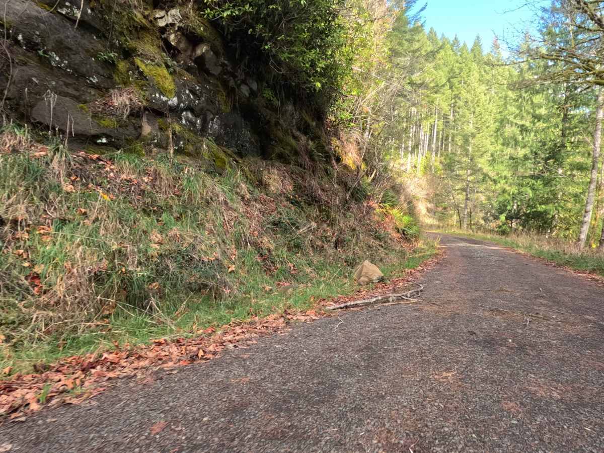
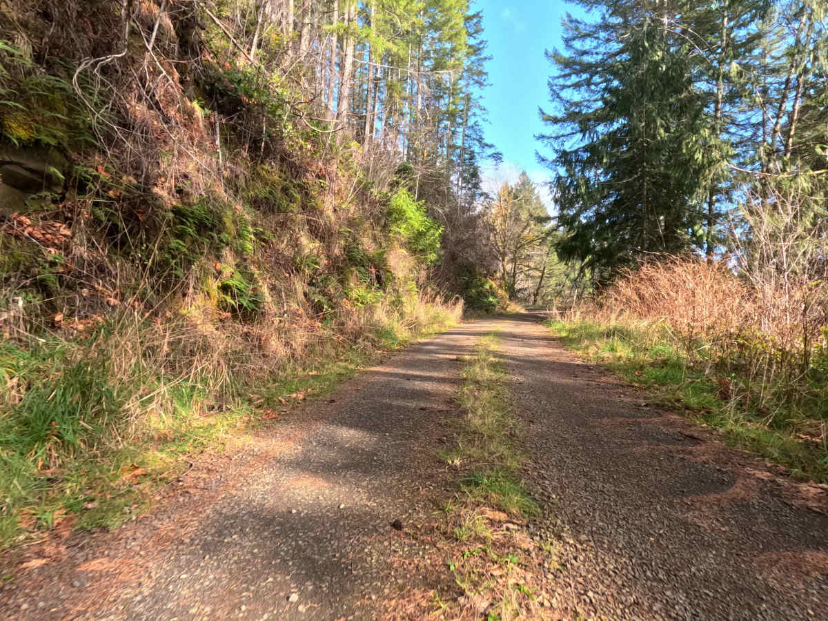
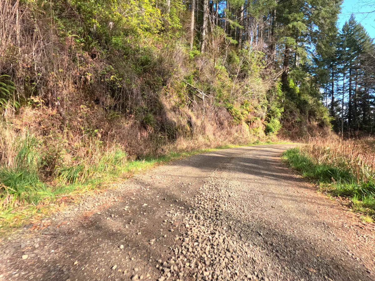
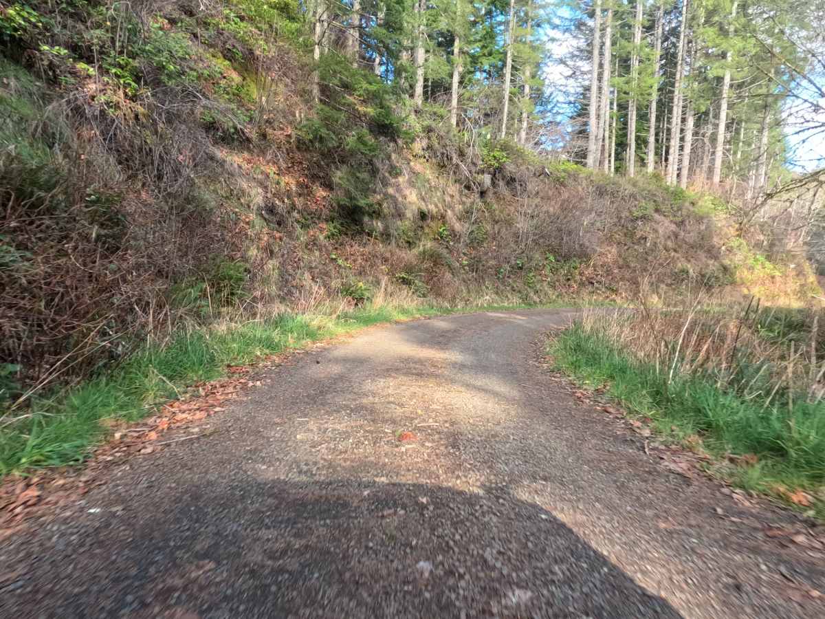
Trail Overview
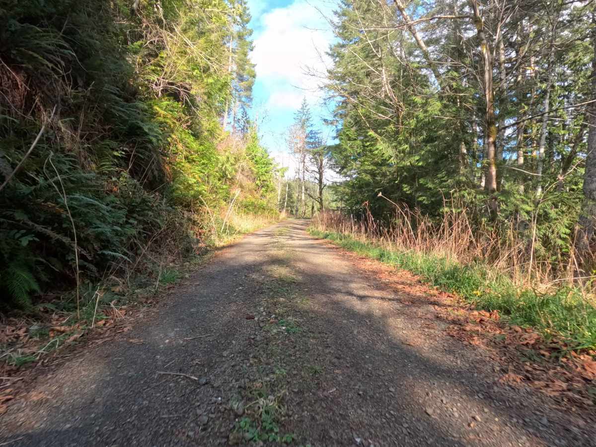
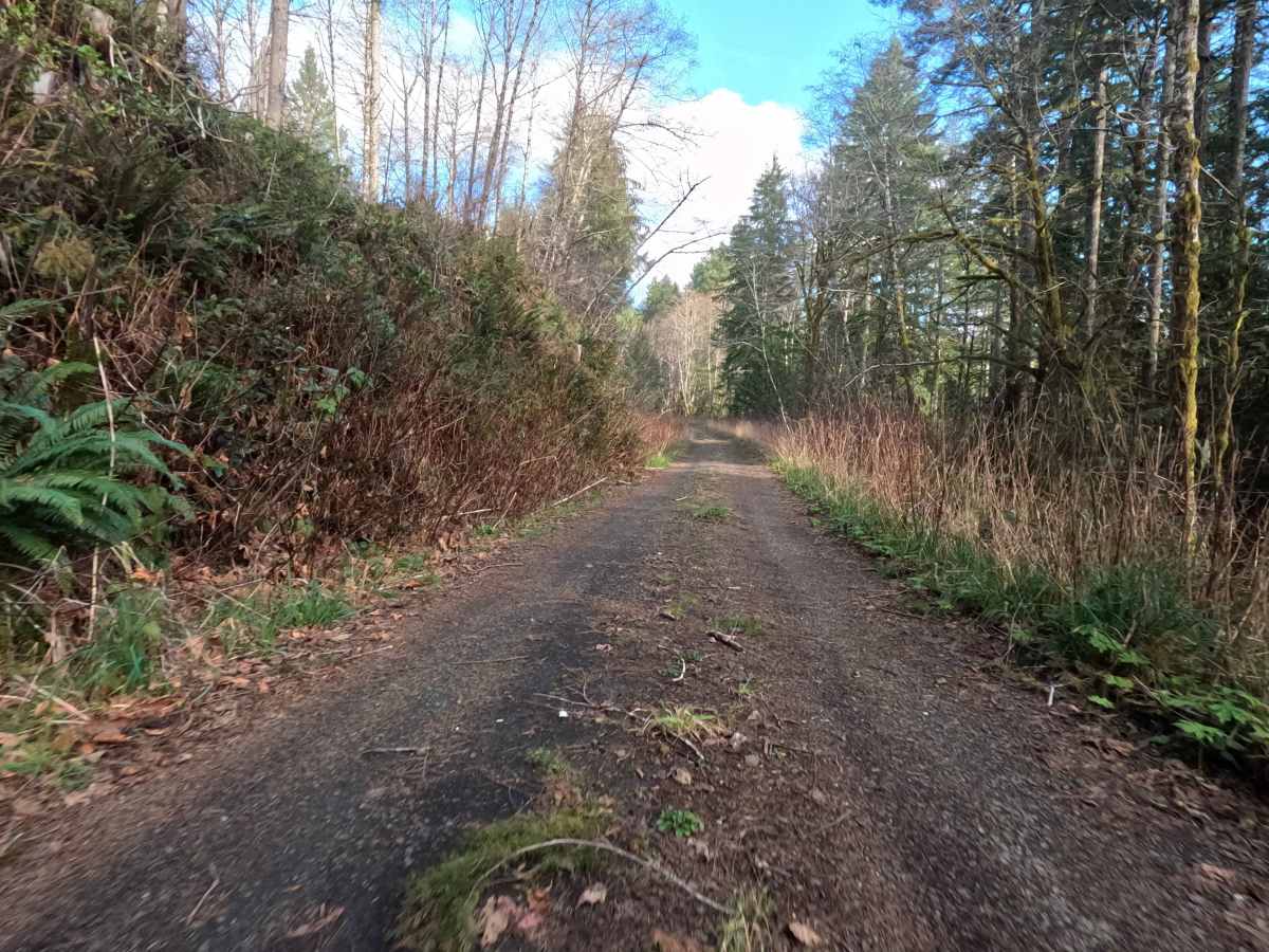
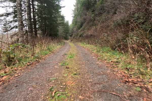
This fast, 10.5-mile gravel artery serves as a primary ascent from the coastal lowlands of South Canary Road into the rugged timberlands of the Siuslaw National Forest. The route is a well-graded, single-lane haul road that winds steadily upward through a mosaic of active commercial logging tracts. Travelers will experience a striking visual transition: starting among the industrial textures of clear-cuts and young plantation firs, the road eventually climbs across the forest boundary into the lush, moss-draped canopy of mature National Forest timber. The surface is surprisingly smooth and fast, allowing for a consistent pace, but the narrow track demands constant vigilance. Drivers must scan ahead for oncoming traffic and be prepared to utilize the occasional pullouts tucked into the fern-lined embankments.
Difficulty
While the road surface itself is often better than many paved city streets—smooth, hard-packed gravel—the difficulty lies in the single-lane width and the environment. This is likely an active logging corridor; the "2" rating cautions drivers against complacency. You must be prepared to reverse to a pullout if you encounter oncoming traffic or heavy equipment. Traction is excellent, and 4WD is rarely needed in dry conditions, but situational awareness around blind corners is mandatory.