
Beginner Off-Road Trails
Near Goodrich, Texas
Explore All Beginner Trails Near Goodrich, Texas
Beginner Off-Road Trails Near Goodrich, Texas
Discover the best beginner-friendly off-road trails near you. These easier, lower-rated trails are a great place to start — browse trail maps, check difficulty ratings, and find your next adventure.
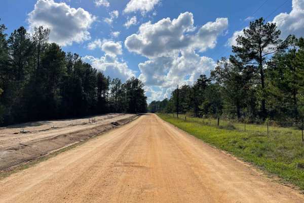
Big Creek Scenic Route
A peaceful gravel route running through the Sam Houston Nation Forest. Bring your camera, hiking shoes , mountain bike and enjoy the trails. The Big Creek Scenic Trail Head lies at the midway point of this route and is a section of The Lonestar Hiking Trail the longest foot path in Texas at 100 mile...
Learn more about Big Creek Scenic Route
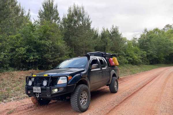
Darden Road
Darden Road is a 7-mile stretch of gravel & red dirt road. The Southern portion is more populated with homes, but once you get to the middle it's really rural and less populated. Great scenery and easy-to-travel road in the East Texas area Just Outside of town and gas stations nearby.
Learn more about Darden Road
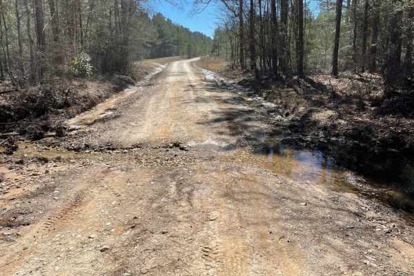
Red Hollow Run
A Nice Mix of Gravel & Red Dirt Roads. If It Rains The Roads Get Interesting. Best to drive when its dry to avoid rutting up the roads for local residents that use these roads also. You can start from either end and there are fuel stops close by on either end.
Learn more about Red Hollow Run
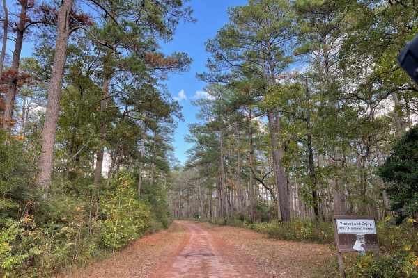
FSR - 220
A short in & out route surrounded by beautiful pines, bring your tent or picnic baskets this route has plenty of places to pull over camp or just spend the day in the forest. Enjoy hiking or mountain biking in the area, double lake recreation area is just a short drive up the road.
Learn more about FSR - 220
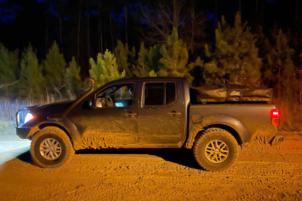
Texas Traverse Bypass
The Texas Traverse Bypass is a scenic 7.7-mile alternative route ideal for offroaders seeking a dirt and gravel trek through the dense piney woods of East Texas. Transitioning from paved pavement to a rough gravel road, this trail features mild elevation changes with a gentle 192-foot cumulative gai...
Learn more about Texas Traverse Bypass
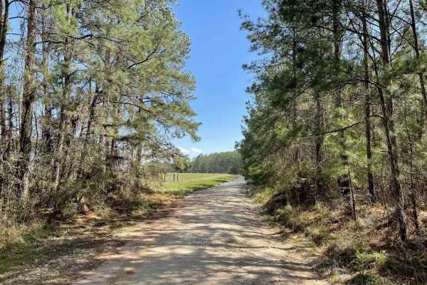
Big Woods
Big Woods is an easy to traverse gravel/dirt road. It runs for about 8.5 miles in the Sam Houston National Forest. About halfway down, there's a nice hunters' camp that's part of the Sam Houston Wild Life Management Area, so you will need a permit to camp there. The Southern end can get slippery if ...
Learn more about Big Woods
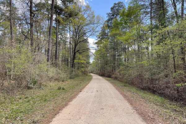
Phelps Road
Phelps Road offers a peaceful and easy-going drive through the dense, towering pine forests of the Sam Houston National Forest, making it perfect for beginners, scenic cruisers, and those looking to escape into nature. Spanning approximately 2.2 miles, this well-maintained gravel route features very...
Learn more about Phelps Road
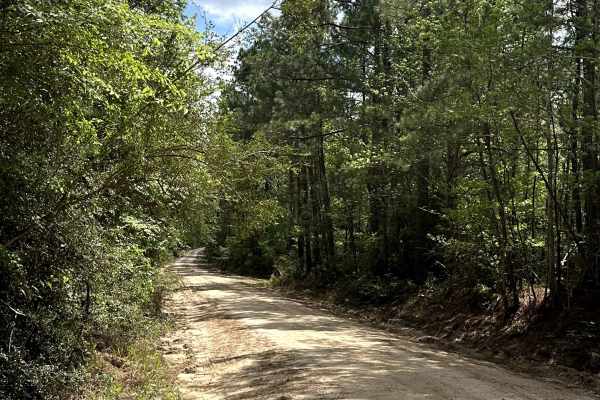
Old US Highway 287
Old US Highway 287 is a scenic gravel road that connects the main highway to Davy Crockett National Forest, offering a smooth drive through the piney woods. The route follows a wide, maintained path with a mix of open and shaded sections, making it an easy and enjoyable way to enter the forest. It a...
Learn more about Old US Highway 287
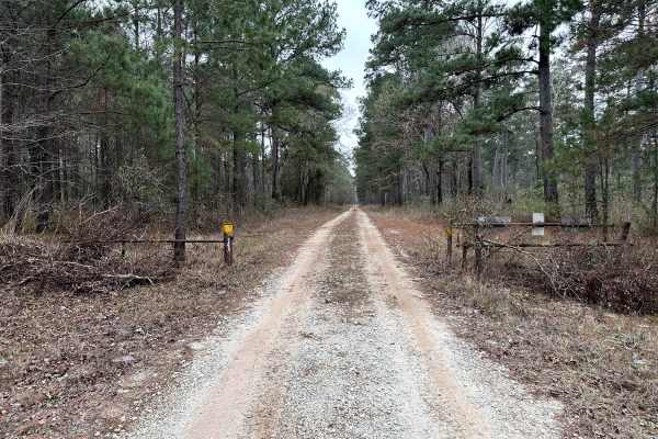
Hostetter - FS 238
Hostetter Forest Road 238 is an easy forest service road in Sam Houston National Forest, consisting of dirt and gravel with occasional ruts and soft sections depending on weather conditions. The road intersects with the Lake Loop trail, providing access to a popular multi-use riding area and nearby ...
Learn more about Hostetter - FS 238
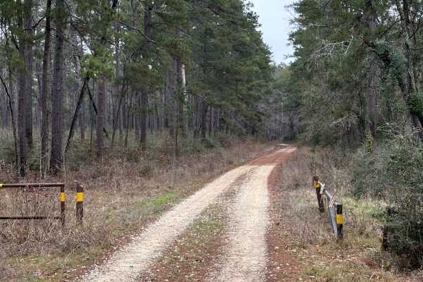
Calaham - FS 233A
Sam Houston National Forest Road 233A is an easy forest service spur road consisting of dirt and gravel with occasional ruts and soft sections depending on weather conditions. The route provides access to nearby forest roads and connects directly to Trail 813, a designated multi-use riding trail. In...
Learn more about Calaham - FS 233A
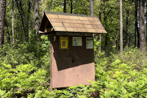
Melvin - FS 586
Melvin - FS 586 is a forest road in Davy Crockett National Forest that runs through the piney woods with a relaxed and scenic feel. The route follows a natural dirt path with a mix of shaded sections and open areas, and features plenty of spots along the way suitable for dispersed camping, making it...
Learn more about Melvin - FS 586
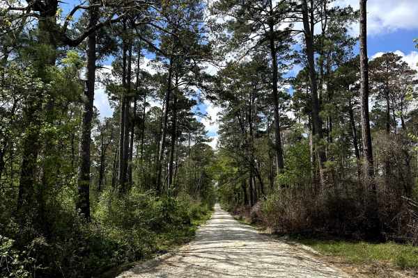
Broken Bridge - FS 501
Broken Bridge - FS 501 is a forest road in Davy Crockett National Forest that leads to the Broken Bridge area, offering a scenic drive through the piney woods. The route follows a natural dirt and gravel path with a mix of shaded sections and more open stretches, giving it a quiet and remote feel. I...
Learn more about Broken Bridge - FS 501
Sam Houston Swing
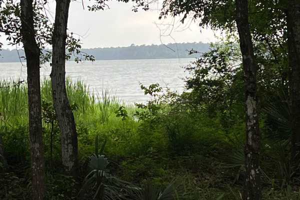
This trail swings through the Sam Houston National Forest just east of Lake Conroe. The trail is maintained dirt/gravel Forest Service roads and can be traveled in either direction in any stock truck or SUV in 2WD. While traveling this route, you can access multi-use trails for equestrian/OHV (50-in...
Learn more about Sam Houston Swing
Brown Branch - FS 233C
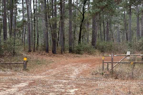
Brown Branch, Forest Service Road 233C, travels through a secluded, wooded section of Sam Houston National Forest and provides access into the surrounding trail network. The surface is a mix of dirt and gravel with uneven sections, ruts, and occasional standing water depending on weather conditions....
Learn more about Brown Branch - FS 233C
Moran - FS 222A
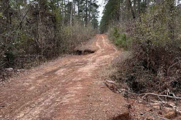
Moran (FS 222A) is a lightly traveled forest service road tucked into a quiet section of Sam Houston National Forest, not far from the Lake Conroe area. The route follows compacted dirt with scattered gravel and subtle surface irregularities shaped by routine forest use. Rather than serving as a thr...
Learn more about Moran - FS 222A
Smuggler's Strait
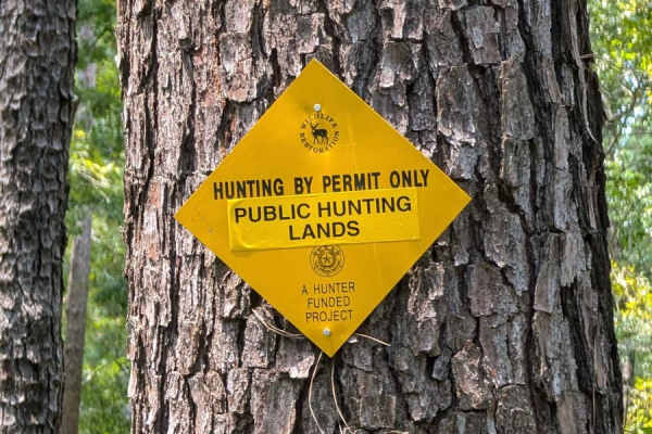
Soft dirt road in the Alabama Creek Wildlife Management Area that will lead you through a changing landscape of gravel, grass, washouts, and mudholes up to 12" with some light off-camber grading. Half of this trail is only one vehicle wide. Be careful on this trail in heavy rain.
Learn more about Smuggler's Strait
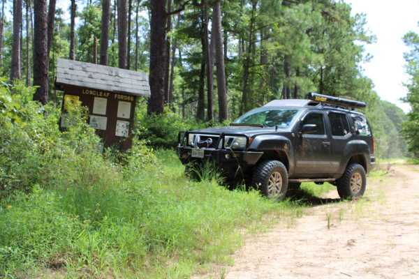
FSR 568 Hunters Camps
Forest Service Road 568 leads to hunters' camps. There are free camping areas just five miles off the Texas Traverse in the Davy Crockett National Forest. The drive is an easy one when dry, but can be dusty/muddy depending on the weather. Most vehicles will be able to make the route. The campsites c...
Learn more about FSR 568 Hunters Camps
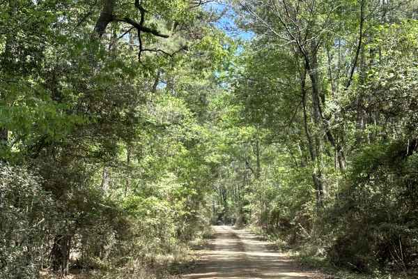
Chester Johnson - FS 553
Chester Johnson - FS 553 is a forest road in Davy Crockett National Forest that runs through the piney woods with a more rugged feel than surrounding routes. The trail follows a natural dirt path with sections of rutted silt and mud, along with a few small camp spots tucked along the way, making it ...
Learn more about Chester Johnson - FS 553
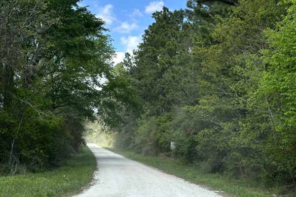
Louisville Road
Louisville Road is a scenic back road that runs through private ranch land before leading into Davy Crockett National Forest. The route offers a mix of open pasture views and tree-lined sections, giving it a classic East Texas feel as it transitions into the piney woods. It’s a quiet and easy drive ...
Learn more about Louisville Road
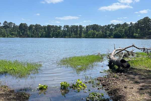
Road 248
This is a dirt road that is only open to motor vehicle traffic from the 16th of March to the 14th of September. This trail offers access to some of the only remote backcountry campsites on the shores of Lake Conroe, about 5 or 6 spots. This trail offers some of the best views of the lake and some ni...
Learn more about Road 248
Beginner ATV trails near Goodrich, Texas
Explore ATV-friendly trails near you. These trails are accessible for vehicles up to 50 inches wide, perfect for ATVs and smaller off-road machines.
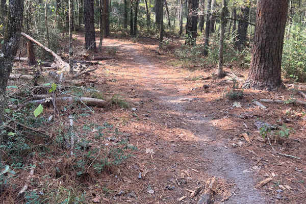
West Side 50
Located in the Sam Houston National Forest, this loop is a 19-mile, 50-inch and under, multi-use trail for ATV, dirt bike, horses, and hikers. A Texas OHV permit sticker is required and can be ordered from the Texas Parks and Wildlife Department website, or you can find a list of businesses that sel...
Learn more about West Side 50
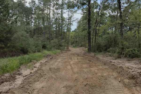
Main - CG 5 to South Fence
This is a primary access route that connects Campground 5 to the South Fence. The trail is maintained year-round and designed for quick travel across the park, making it a reliable route for riders heading toward the southern boundary.
Expect a generally smooth path, though sections can become mudd...
Learn more about Main - CG 5 to South Fence
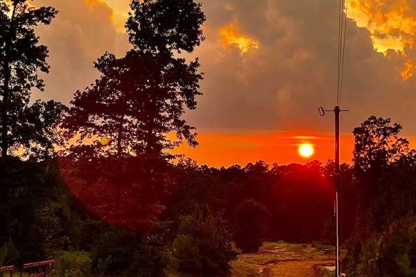
North-West Main Trail
North-west Fence is a key perimeter road that connects the main entrance of General Sam’s Offroad Park to some of the park’s most popular attractions, including the bounty holes, swimming pond, and the West Fence trail. In dry weather, it’s accessible to all vehicles, making it one of the most direc...
Learn more about North-West Main Trail
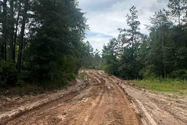
Generals Way - Main Camp Road 100
General's Way is the primary access route into the heart of General Sam's Offroad Park, guiding guests from the front entrance directly to Campground 5 at the center of the 750-acre park. This wide, easy-to-follow road is ideal for both campers hauling in and riders unloading up front who want a str...
Learn more about Generals Way - Main Camp Road 100
Beginner UTV/side-by-side trails near Goodrich, Texas
Find UTV and side-by-side trails near you. These trails accommodate vehicles up to 60 inches wide, ideal for UTVs, side-by-sides, and wider off-road rigs.
Big Creek Scenic Route
A peaceful gravel route running through the Sam Houston Nation Forest. Bring your camera, hiking shoes , mountain bike and enjoy the trails. The Big Creek Scenic Trail Head lies at the midway point of this route and is a section of The Lonestar Hiking Trail the longest foot path in Texas at 100 mile...
Learn more about Big Creek Scenic Route
FSR - 220
A short in & out route surrounded by beautiful pines, bring your tent or picnic baskets this route has plenty of places to pull over camp or just spend the day in the forest. Enjoy hiking or mountain biking in the area, double lake recreation area is just a short drive up the road.
Learn more about FSR - 220
Main - CG 5 to South Fence
This is a primary access route that connects Campground 5 to the South Fence. The trail is maintained year-round and designed for quick travel across the park, making it a reliable route for riders heading toward the southern boundary.
Expect a generally smooth path, though sections can become mudd...
Learn more about Main - CG 5 to South Fence
North-West Main Trail
North-west Fence is a key perimeter road that connects the main entrance of General Sam’s Offroad Park to some of the park’s most popular attractions, including the bounty holes, swimming pond, and the West Fence trail. In dry weather, it’s accessible to all vehicles, making it one of the most direc...
Learn more about North-West Main Trail
The onX Offroad Difference
onX Offroad combines trail photos, descriptions, difficulty ratings, width restrictions, seasonality, and more in a user-friendly interface. Available on all devices, with offline access and full compatibility with CarPlay and Android Auto. Discover what you're missing today!
Open Trail Map