Texas Traverse Bypass

Total Miles7.7
Technical Rating
3Easy
Best TimeWinter, Summer, Fall, Spring
Trail TypeFull-Width Road
Accessible By
Open Trail Map

Trail Overview

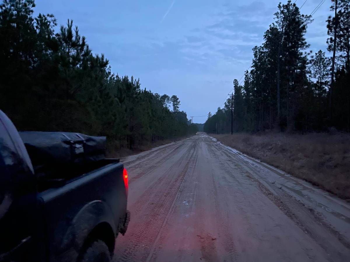
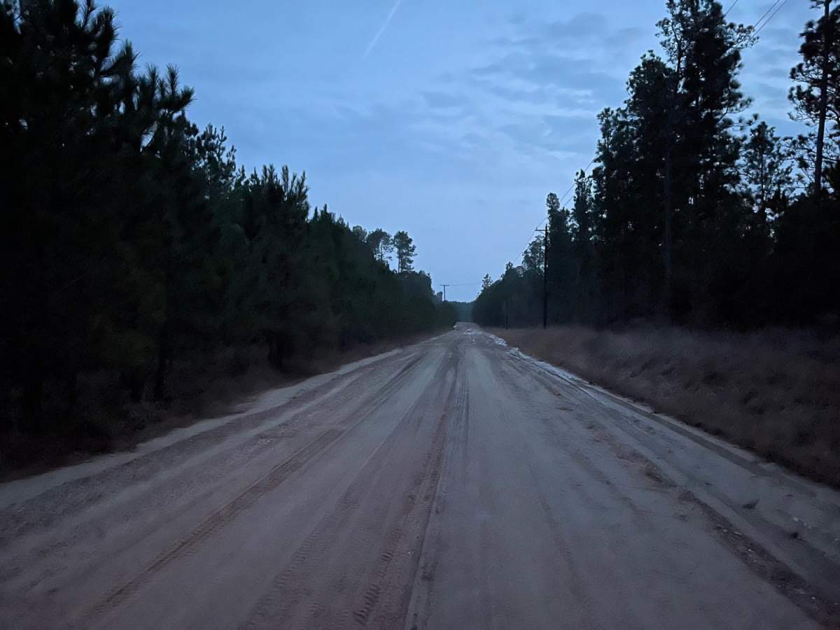
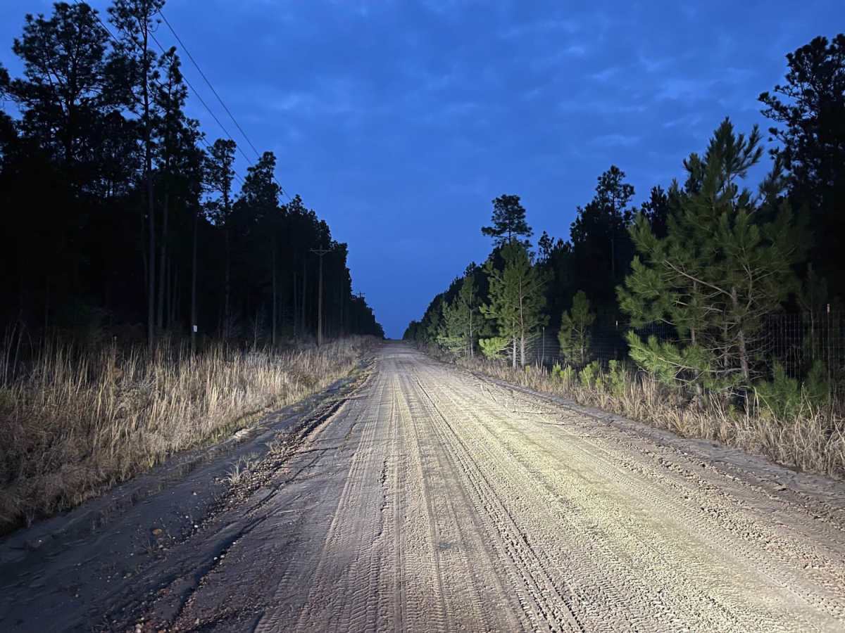
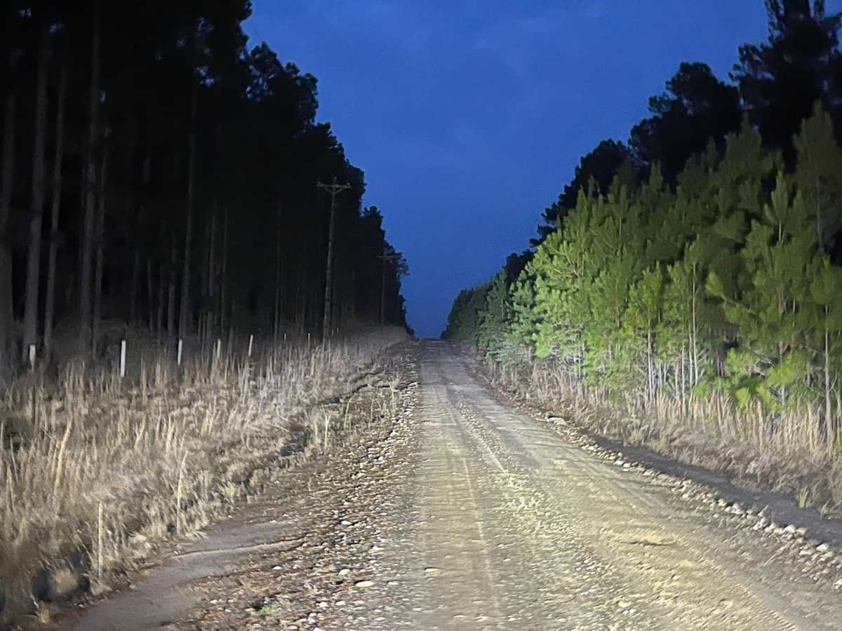
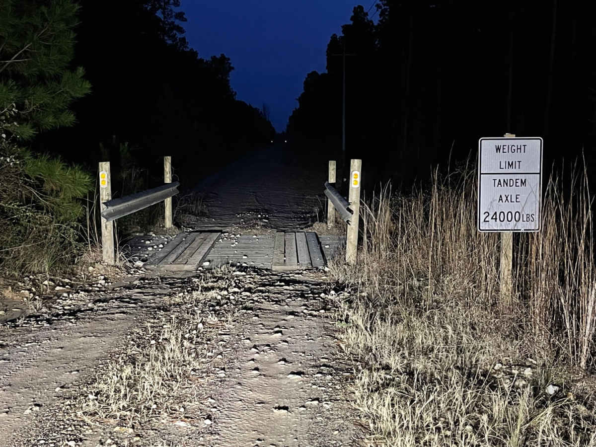
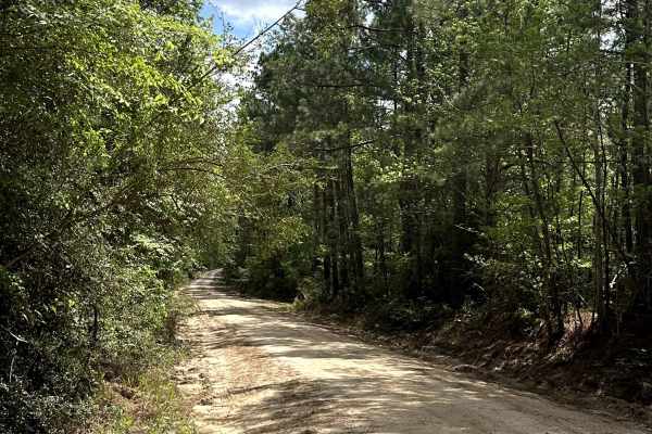
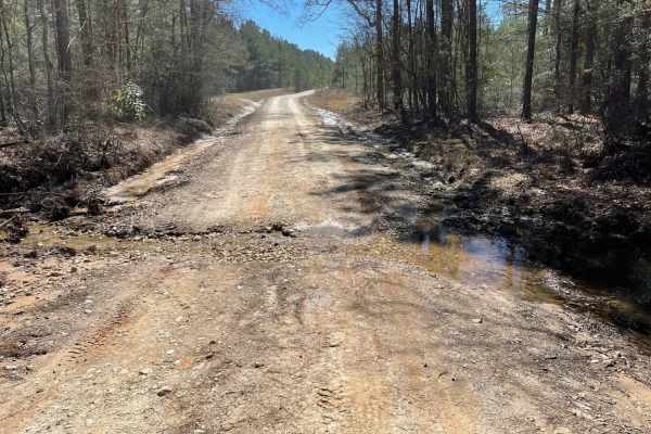
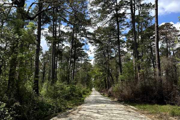
The Texas Traverse Bypass is a scenic 7.7-mile alternative route ideal for offroaders seeking a dirt and gravel trek through the dense piney woods of East Texas. Transitioning from paved pavement to a rough gravel road, this trail features mild elevation changes with a gentle 192-foot cumulative gain. It is highly accessible for high-clearance four-wheel-drive vehicles and SxSs during dry conditions, though rain quickly transforms the surface into a slick, sloppy mud track. High-fenced game reserves border both sides of the road, giving drivers a unique, enclosed passage through the local landscape. Navigating this route requires careful attention to a few key obstacles, including three narrow wooden bridges and sections with deep, uneven ruts. Washboard surfaces are common, and the trail narrows significantly in multiple areas, which can make passing oncoming traffic a challenge. Drivers should plan for slow, steady progress, especially when wet weather compromises traction on the dirt sections. The bypass eventually leads directly into Groveton, where travelers can seamlessly reconnect with the original Texas Traverse route along US Route 287.

Photos of Texas Traverse Bypass

Difficulty

The paved road turns into a rough gravel road. There are some deep ruts and narrow sections that might make passing difficult.

Technical Rating

3

Texas Traverse Bypass Trail can be accessed by the following ride types:

  • High Clearance
  • Full Width

Texas Traverse Bypass Map

The onX Offroad Difference

onX Offroad combines trail photos, descriptions, difficulty ratings, width restrictions, seasonality, and more in a user-friendly interface. Available on all devices, with offline access and full compatibility with CarPlay and Android Auto. Discover what you're missing today!

Open Trail Map