
Beginner Off-Road Trails
Near East Bernstadt, Kentucky
Explore All Beginner Trails Near East Bernstadt, Kentucky
Beginner Off-Road Trails Near East Bernstadt, Kentucky
Discover the best beginner-friendly off-road trails near you. These easier, lower-rated trails are a great place to start — browse trail maps, check difficulty ratings, and find your next adventure.
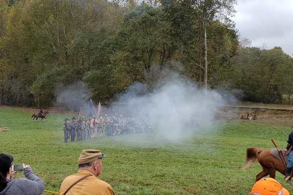
Rockcastle Exploring River Bypass
Rockcastle Exploring River Bypass is an easy, scenic gravel route ideal for beginners, families, and history buffs looking to explore the beautiful woodlands of Laurel County. Winding through the dense canopy of Kentucky’s mountainous terrain, this trail offers a relaxed driving experience accessibl...
Learn more about Rockcastle Exploring River Bypass
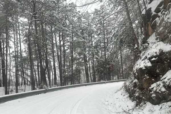
Cromer Ridge - 909
Cromer Ridge Road or Rockcastle River Forestry Road is a gravel, rock, and dirt trail road that is somewhat maintained by the forest service. This road runs along some ridge lines with good views as well as goes down into some low hollers as well, ending at the Rockcastle River.
Learn more about Cromer Ridge - 909
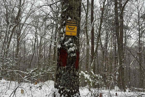
Wood Creek Lake - FS 4094
Wood Creek Lake - FS 4094 trail is off of Cromer Ridge Road or Rockcastle River Forestry Road is a gravel, rock, and dirt trail road that is somewhat maintained by the forest service. This road runs along some ridge lines with good views as it goes down into some low hollers as well, ending at Wood ...
Learn more about Wood Creek Lake - FS 4094
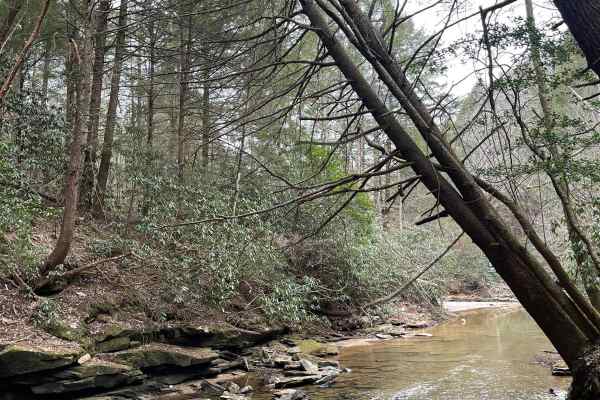
Dog Branch to Rooks Road
This road starts as a gravel road and leads to Rooks Road, which is slightly tighter. Part of the Scenic Kentucky Adventure Trail Main Section 2, this road has a beautiful waterfall to see, a pair of natural arches, and a shallow creek crossing. This portion of the KAT really offers a lot of beautif...
Learn more about Dog Branch to Rooks Road
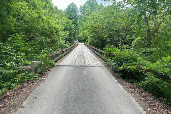
White Oak Branch Road - Horse Lick Creek
The trail starts as a gravel route and turns into rock, dirt, and mud. It is not very technical, but when wet, the slick mud and small ruts may cause hazards in some areas. Crossing the creek may be deep at some times in the season, and it is usually, on average, 18-20 inches deep.
Learn more about White Oak Branch Road - Horse Lick Creek
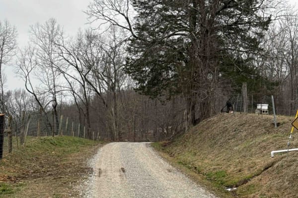
Sand Gap Road (FSR 731)
This is a dead-end Forest Service road. It likely has spectacular fall foliage, and there is a small cave entrance labeled on the Forest Service map. The "cave entrance" is less than expected, with litter and beer bottles spread around the area. Otherwise, this is a simple out-and-back trail with a ...
Learn more about Sand Gap Road (FSR 731)
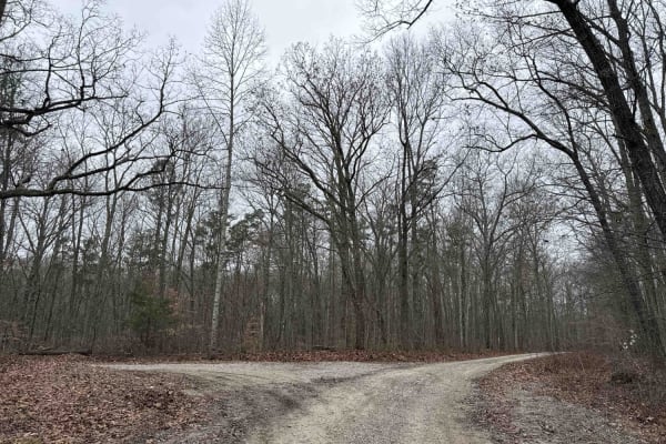
Tussey Hill Road
This is a very well-maintained gravel road that includes a portion of the Kentucky Adventure Trail Main 1 Trail. This road is mostly gravel with a portion closer to Bear Gap Road being a little more muddy and not as well maintained. This trail leads to S-Tree Campground, which has nice camp spots f...
Learn more about Tussey Hill Road

Dry Fork School Road
A nice gravel road that has a few beaver ponds, large open fields, and dense forested areas. It is a great way to gain access to a nice camping spot on Daughtery Road without having to have high clearance. It is a great road for vehicles to see some of the lower backcountry around the S-Tree area.
Learn more about Dry Fork School Road
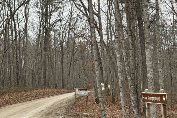
S-Tree Tower Road (FSR 100)
Part of the Kentucky Adventure Trail Main 1 Section, this heavily forested section is a must-see. This trail winds through groves of hemlock forests and runs alongside Racoon Creek. It has a small water crossing and is otherwise a well-maintained graveled Forest Service road.
Learn more about S-Tree Tower Road (FSR 100)

Simon Hill Road
This is a shortcut between Daughtery Rd, and New Hope on the DBBB. It is short, but has a steep descent towards Crooked Creek Road. It is a tight, rocky trail with some off-camber areas that can potentially push into the hillside. This is a great cut-through that saves a 30-minute drive on pavement ...
Learn more about Simon Hill Road
S-Tree Road (FSR 20-1)
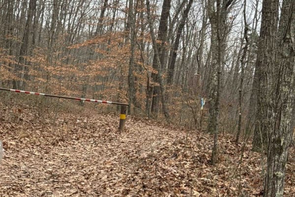
This is a well-maintained gravel Forest Service road; a small portion lies along the Daniel Boone Backcountry Byway and the Kentucky Adventure Trail Main 1. This trail can be accessed from several of the trails leading away from McKee. It ends with a nice campground that has a nice picnic table and ...
Learn more about S-Tree Road (FSR 20-1)
Bear Gap Road (FSR 431)
This is a well-maintained gravel Forest Service road leading from S-tree Campground and connecting Tussey Hill Road. This trail leads along the top of the ridge and leads to a gated dead end. It is a nice connector road that is spectacular in the fall. It connects both a portion of the DBBB and the ...
Learn more about Bear Gap Road (FSR 431)
Pine Flat - Laurel Fork Road
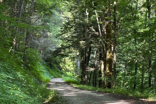
This starts on either side as a gravel-maintained route and then transitions to a more rough and technical area, as parts of the route are unmaintained. Some spots become tight between small trees. There is a short hill climb or descent with small ruts. The route travels along the Laurel Fork Creek ...
Learn more about Pine Flat - Laurel Fork Road
Wolf Creek Road
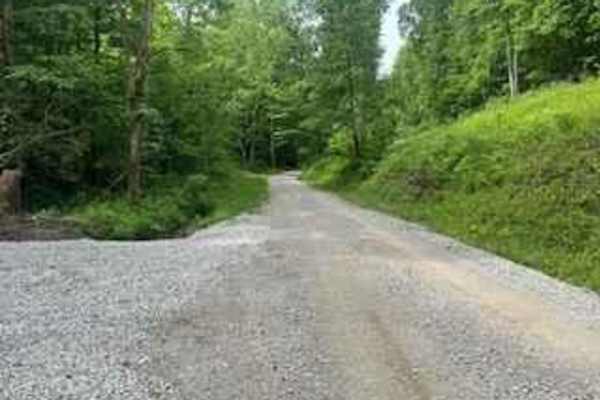
Wolf Creek Road follows Wolf Creek between Climax and Orlando, Kentucky. It's a county road and part of the Daniel Boone Backcountry Byway. It's a well-maintained gravel road with a lot of shade and areas of small creeks and streams to enjoy as you drive.
Learn more about Wolf Creek Road
Clover Bottom Creek Road
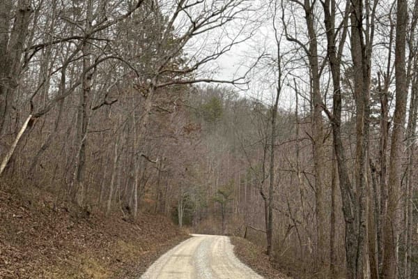
There are lots to see on this trail. It is a fairly well-maintained gravel road. It does have 2 water crossings, one that is fairly shallow and one that can be over a foot deep. There are places to pass oncoming vehicles without too much backing up. Full of hemlock and beech tree groves and a windin...
Learn more about Clover Bottom Creek Road
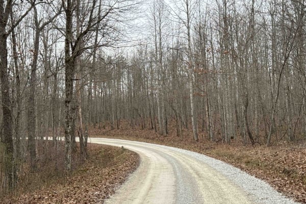
Lawrence Phillips Road to Carpenter Ridge (FSR 453)
This portion of trail has some steep descents and ascents and some mild water crossings. This trail is a part of the Kentucky Adventure Trail and is labeled with an arrow on the south side of this trail. This trail will require 4WD, especially in wet conditions.
Learn more about Lawrence Phillips Road to Carpenter Ridge (FSR 453)
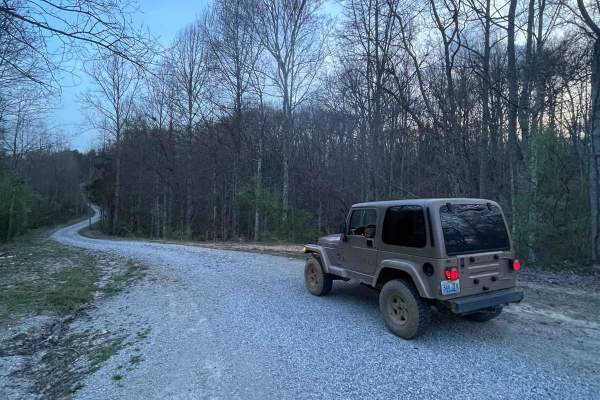
DBNF 4005
4005 is a mostly well-maintained Forest Service road, with large gravel for around three quarters of the road. Past that is a less-maintained but in good condition dirt trail. Access to 4005A is at the end of this trail. It would appear that some small cabins are being built towards the end of the r...
Learn more about DBNF 4005
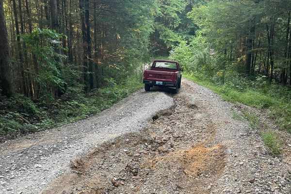
Bear Creek Falls (5138)
Access to a beautiful waterfall into the Rockcastle River. Characteristics of an old Forest Service Road. Large gravel, dirt, and shallow water crossings. Some washouts around one foot deep. Beautiful drive through a less-trafficked area of Daniel Boone National Forest. There is a possibility of dow...
Learn more about Bear Creek Falls (5138)
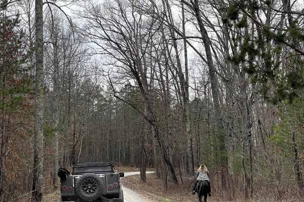
Curd Garden (FSR 193)
This is a scenic and well-maintained Forest Service road that is also a part of the Kentucky Adventure Trail Main 2 Route. This road leads south of the Laurel Lake area and into some of the great waterfall hikes around the Cumberland Falls area. It's an absolutely gorgeous area any time of the year.
Learn more about Curd Garden (FSR 193)
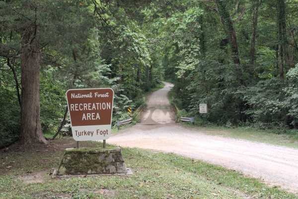
Turkey Foot Road - FS 4
Turkey Foot Road - FS 4, also known as Elster Road, is a scenic gravel road that winds through the Daniel Boone National Forest, providing access to recreation areas, forest roads, and dispersed camping opportunities. The route includes a single-lane bridge crossing and passes through beautiful hard...
Learn more about Turkey Foot Road - FS 4
Beginner ATV trails near East Bernstadt, Kentucky
Explore ATV-friendly trails near you. These trails are accessible for vehicles up to 50 inches wide, perfect for ATVs and smaller off-road machines.
Bear Creek Falls (5138)
Access to a beautiful waterfall into the Rockcastle River. Characteristics of an old Forest Service Road. Large gravel, dirt, and shallow water crossings. Some washouts around one foot deep. Beautiful drive through a less-trafficked area of Daniel Boone National Forest. There is a possibility of dow...
Learn more about Bear Creek Falls (5138)
Turkey Foot Road - FS 4
Turkey Foot Road - FS 4, also known as Elster Road, is a scenic gravel road that winds through the Daniel Boone National Forest, providing access to recreation areas, forest roads, and dispersed camping opportunities. The route includes a single-lane bridge crossing and passes through beautiful hard...
Learn more about Turkey Foot Road - FS 4
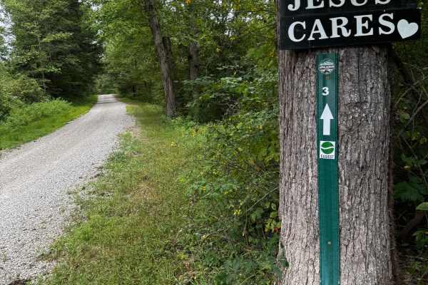
JC Trail 3
This is an easy gravel road with some small mud holes, a rocky creek crossing, and some small rocky hills. It's a very good beginner trail that connects some of the trails to the main highway, KY 30. It will take you through beautiful farmland and pretty creeks.
Learn more about JC Trail 3
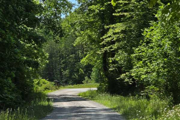
Cool Springs Road
Cool Springs Road is a gravel shelf road that is extremely narrow in spots. You can expect to encounter washouts and ruts along the way, but nothing that will cause many issues in navigation. You will also encounter steep inclines/declines with loose gravel. This is a pretty creek ride through the D...
Learn more about Cool Springs Road
Beginner UTV/side-by-side trails near East Bernstadt, Kentucky
Find UTV and side-by-side trails near you. These trails accommodate vehicles up to 60 inches wide, ideal for UTVs, side-by-sides, and wider off-road rigs.
Dog Branch to Rooks Road
This road starts as a gravel road and leads to Rooks Road, which is slightly tighter. Part of the Scenic Kentucky Adventure Trail Main Section 2, this road has a beautiful waterfall to see, a pair of natural arches, and a shallow creek crossing. This portion of the KAT really offers a lot of beautif...
Learn more about Dog Branch to Rooks Road
Sand Gap Road (FSR 731)
This is a dead-end Forest Service road. It likely has spectacular fall foliage, and there is a small cave entrance labeled on the Forest Service map. The "cave entrance" is less than expected, with litter and beer bottles spread around the area. Otherwise, this is a simple out-and-back trail with a ...
Learn more about Sand Gap Road (FSR 731)
Tussey Hill Road
This is a very well-maintained gravel road that includes a portion of the Kentucky Adventure Trail Main 1 Trail. This road is mostly gravel with a portion closer to Bear Gap Road being a little more muddy and not as well maintained. This trail leads to S-Tree Campground, which has nice camp spots f...
Learn more about Tussey Hill Road
S-Tree Tower Road (FSR 100)
Part of the Kentucky Adventure Trail Main 1 Section, this heavily forested section is a must-see. This trail winds through groves of hemlock forests and runs alongside Racoon Creek. It has a small water crossing and is otherwise a well-maintained graveled Forest Service road.
Learn more about S-Tree Tower Road (FSR 100)
The onX Offroad Difference
onX Offroad combines trail photos, descriptions, difficulty ratings, width restrictions, seasonality, and more in a user-friendly interface. Available on all devices, with offline access and full compatibility with CarPlay and Android Auto. Discover what you're missing today!
Open Trail Map