
Beginner Off-Road Trails
Near Downieville-Lawson-Dumont, Colorado
Explore All Beginner Trails Near Downieville-Lawson-Dumont, Colorado
Beginner Off-Road Trails Near Downieville-Lawson-Dumont, Colorado
Discover the best beginner-friendly off-road trails near you. These easier, lower-rated trails are a great place to start — browse trail maps, check difficulty ratings, and find your next adventure.
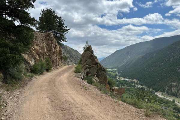
Bard Creek Road
Among the old mining trails stretching from Idaho Springs to Silver Plume, Bard Creek Road offers an enchanting journey through the region's history. As you traverse its bumpy climb, you'll uncover vestiges of Colorado's vibrant past, most notably, the Bard Creek Mine with its remarkably intact ore ...
Learn more about Bard Creek Road
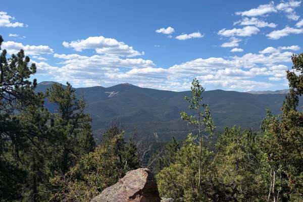
Bellevue Mountain Drive
Bellevue Mountain Drive is an easy gravel route that climbs through pine and aspen forest to a communications tower near the top. The main attraction is the broad mountain and valley views from the upper section. The road begins wide and smooth but narrows in places as it climbs. Full-size trucks an...
Learn more about Bellevue Mountain Drive
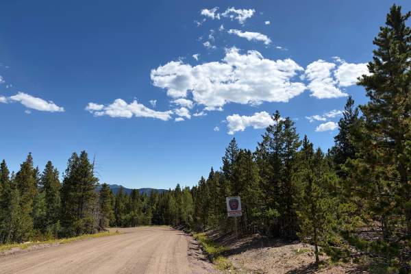
Virginia Canyon Road - FS 279
Virginia Canyon Road - FS 279 is another portion of the lower Virginia Canyon Road, broken up by Two Brothers Road; it gets a little confusing. This is an easy scenic drive through a quiet rural area with cabins, forest, and mountain views. The route can be driven point-to-point or combined with nea...
Learn more about Virginia Canyon Road - FS 279
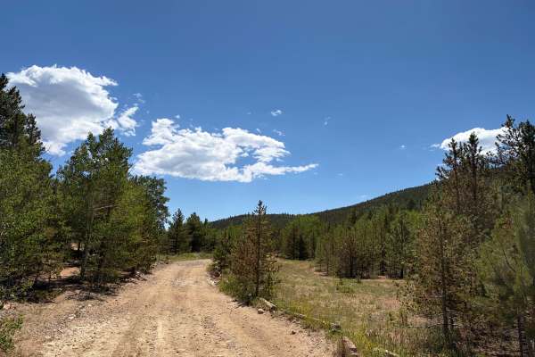
Pewabic Mine Road
Pewabic Mine Road is a varied mountain route that moves through dense forest, open meadows, and historic mining areas. The road is mostly smooth gravel with a few rougher, rockier sections. The route is generally wide and easy to follow, with no major obstacles in dry conditions. Drivers will pass o...
Learn more about Pewabic Mine Road
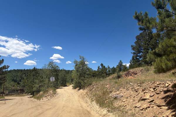
Alps Hill Road
Alps Hill Road is an easy gravel route winding through aspen groves, open meadows, and areas bordered by private property. The road is generally smooth and suitable for full-size vehicles, with only a few scattered rocky sections and no major obstacles in dry conditions. Stay on the established road...
Learn more about Alps Hill Road
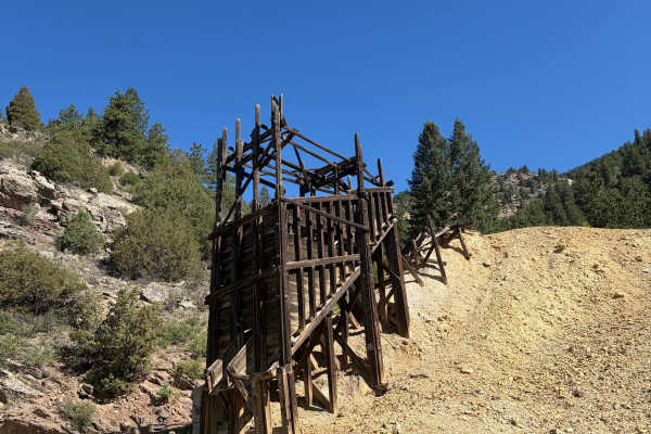
Virginia Canyon Road 279
Virginia Canyon Road 279 is a wide, generally well-maintained gravel road climbing above Idaho Springs. The route offers expansive views across the surrounding mountains and down toward town while passing through a mix of pine forest, exposed hillsides, and historic mining areas. Remnants of old woo...
Learn more about Virginia Canyon Road 279
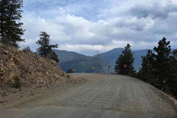
Virginia Canyon Road
Virginia Canyon Road is a simple dirt road with scenic views and lots of leftover mining equipment. While the road is generally plenty wide, there are occasionally times when you will share the road with mining company trucks hauling large vehicles and taking up space. This may require some maneuver...
Learn more about Virginia Canyon Road
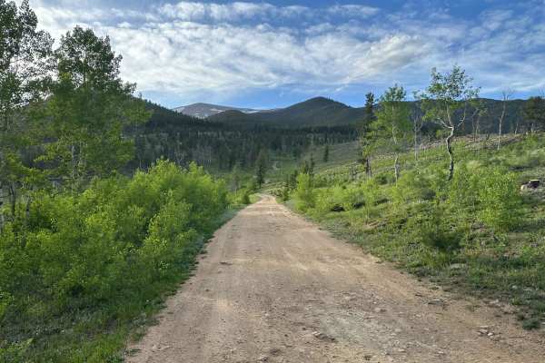
Mad Creek Road
A short drive from the town of Empire and just down the road from the popular Bill Moore Lake Trail, Mad Creek is a great off-road trail that gets passed up by many off-roaders. Whether seeking quiet summer seclusion or deep tire-swallowing winter snow, don't let this trail fall off your radar. Alon...
Learn more about Mad Creek Road
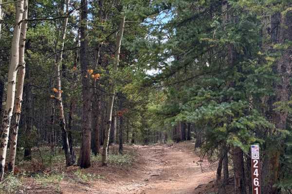
Barbour Fork Trail - FS 2461
This trail eventually leads to a dead end near a hiking trail, with a scenic area at the end that offers great views overlooking the surrounding mountain range. The trail itself is fairly easy, and generally passable in a 2WD vehicle without any issues. There are a few rocky sections along the way, ...
Learn more about Barbour Fork Trail - FS 2461
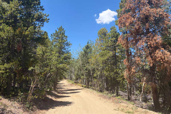
Church Placer Road
Church Placer Road is an easy gravel route through forest, aspen groves, open meadows, and mountain terrain. The road is generally smooth and wide enough for full-size vehicles, with only a few rocky sections, loose gravel, light washboarding, and a cattle guard along the way. There are no major obs...
Learn more about Church Placer Road
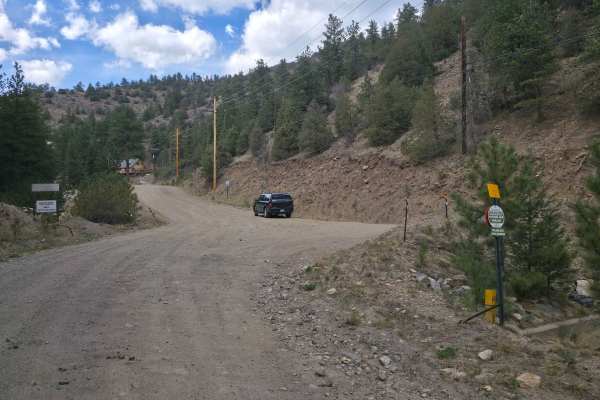
Two Brothers Road
Two Brothers Road is a simple dirt road with scenic views, lots of leftover mining equipment as well as sealed mine shafts littering the road, and, depending on the time of year, wash-boarding so bad your fillings will rattle out. At the north end of the road, concrete briefly interrupts the dirt be...
Learn more about Two Brothers Road
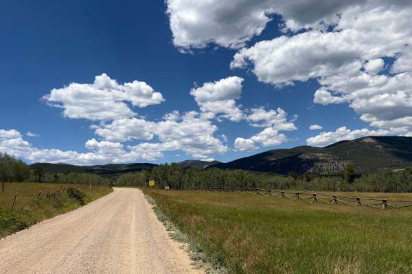
Columbine Road
Columbine Road is an easy gravel route through open meadows, aspen groves, and forested mountain terrain. The road provides access to Columbine Campground and a large OHV staging area. Regular cars were on the road; nothing challenging here. The road is generally wide, smooth, and suitable for most ...
Learn more about Columbine Road
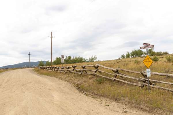
Apex Road
Apex Road is a scenic, historic route perfect for beginners and intermediate offroaders looking to explore Colorado's rich mining heritage while enjoying beautiful mountain vistas. Starting from Central City and heading north to Tolland, this trail transitions from a smooth, graded gravel road in th...
Learn more about Apex Road
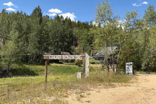
Upper Russell Gulch Road
Upper Russell Gulch Road is an easy gravel route through a historic mountain community. The road is wide, smooth, and suitable for most vehicles in dry conditions. The route passes forested hillsides, old utility structures, and several historic buildings. There are no major obstacles, though driver...
Learn more about Upper Russell Gulch Road
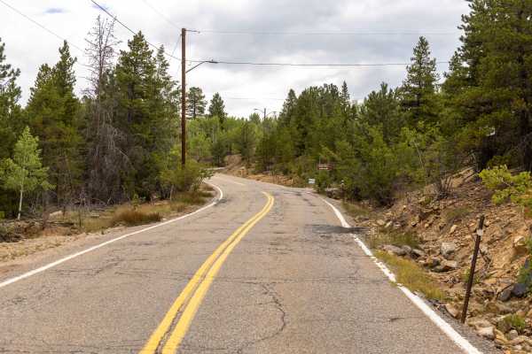
Nevadaville Loop
Nevadaville Loop is a graded, wide gravel road that offers a flowy and easy drive through Colorado's historic mining country. The route is washboarded in places but remains free of obstacles, making it suitable for most vehicles in dry conditions. Along the way, you'll pass through the residential a...
Learn more about Nevadaville Loop
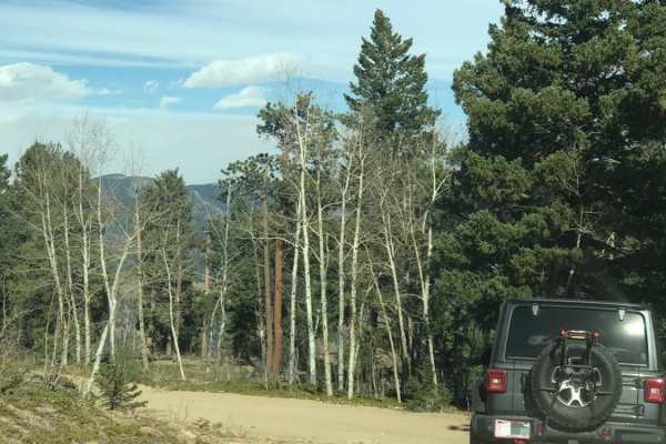
Santa Fe Trail
This is an easy, one-way trail with a few places to pass and some rocky and washed-out sections. You'll find a handful of dispersed campsites and great views of Idaho Springs. The end of the trail is a gate leading to private property, and there is plenty of room to turn around.
Learn more about Santa Fe Trail
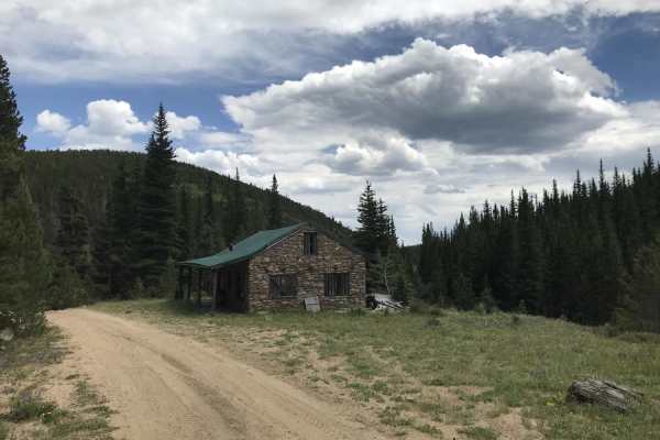
N Clear Creek Road
This trail is an offshoot from Apex Road. If you want something slightly more technically challenging than Apex, this is a fun alternative to explore. The trail is fairly tight. 4WD is required in a couple of steep sections with loose rock. Some of the trail runs through private property, but there ...
Learn more about N Clear Creek Road
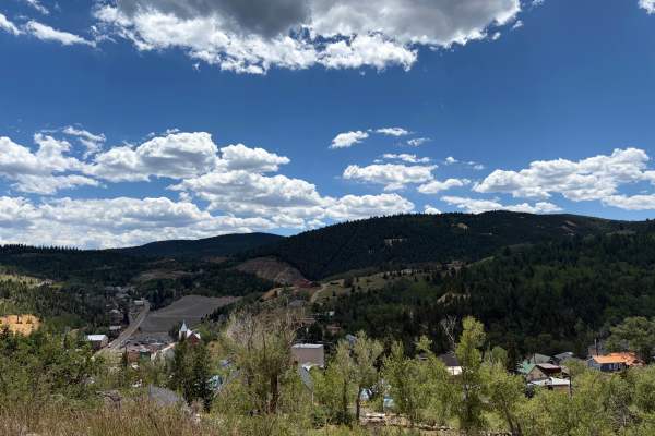
Barrett Street
Barrett Street begins as a paved road before quickly transitioning to gravel as it climbs above Central City. The route is generally smooth and easy to travel, with broad views of town, several scenic pullouts, and a few short offshoot trails worth exploring. Watch for loose gravel, local traffic, a...
Learn more about Barrett Street
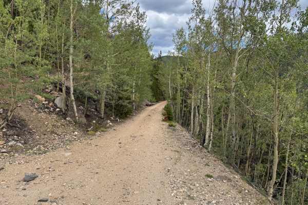
Argentine Central Railroad Grade Trail
This out-and-back route follows an original section of the Argentine Central Railroad grade toward historic Pavilion Point. The narrow roadway remains approximately one vehicle wide for nearly its entire length, with very few places available to pull over and allow another vehicle to pass. The surfa...
Learn more about Argentine Central Railroad Grade Trail
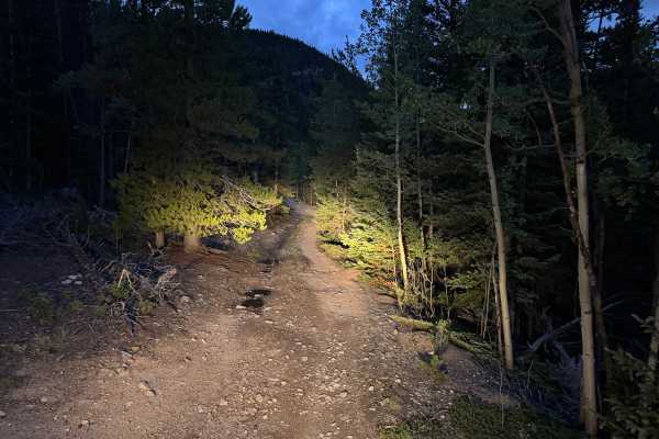
Paines Mountain Spur Road
Paines Mountain Spur Road is an out-and-back route branching from Historic Waldorf Wagon Road after crossing Leavenworth Creek. The road travels onto the northwest side of Paines Mountain within the historic Argentine Mining District, an area extensively developed during Clear Creek County's mining ...
Learn more about Paines Mountain Spur Road
Beginner ATV trails near Downieville-Lawson-Dumont, Colorado
Explore ATV-friendly trails near you. These trails are accessible for vehicles up to 50 inches wide, perfect for ATVs and smaller off-road machines.
Bard Creek Road
Among the old mining trails stretching from Idaho Springs to Silver Plume, Bard Creek Road offers an enchanting journey through the region's history. As you traverse its bumpy climb, you'll uncover vestiges of Colorado's vibrant past, most notably, the Bard Creek Mine with its remarkably intact ore ...
Learn more about Bard Creek Road
Bellevue Mountain Drive
Bellevue Mountain Drive is an easy gravel route that climbs through pine and aspen forest to a communications tower near the top. The main attraction is the broad mountain and valley views from the upper section. The road begins wide and smooth but narrows in places as it climbs. Full-size trucks an...
Learn more about Bellevue Mountain Drive
Virginia Canyon Road - FS 279
Virginia Canyon Road - FS 279 is another portion of the lower Virginia Canyon Road, broken up by Two Brothers Road; it gets a little confusing. This is an easy scenic drive through a quiet rural area with cabins, forest, and mountain views. The route can be driven point-to-point or combined with nea...
Learn more about Virginia Canyon Road - FS 279
Pewabic Mine Road
Pewabic Mine Road is a varied mountain route that moves through dense forest, open meadows, and historic mining areas. The road is mostly smooth gravel with a few rougher, rockier sections. The route is generally wide and easy to follow, with no major obstacles in dry conditions. Drivers will pass o...
Learn more about Pewabic Mine Road
Beginner UTV/side-by-side trails near Downieville-Lawson-Dumont, Colorado
Find UTV and side-by-side trails near you. These trails accommodate vehicles up to 60 inches wide, ideal for UTVs, side-by-sides, and wider off-road rigs.
Bard Creek Road
Among the old mining trails stretching from Idaho Springs to Silver Plume, Bard Creek Road offers an enchanting journey through the region's history. As you traverse its bumpy climb, you'll uncover vestiges of Colorado's vibrant past, most notably, the Bard Creek Mine with its remarkably intact ore ...
Learn more about Bard Creek Road
Bellevue Mountain Drive
Bellevue Mountain Drive is an easy gravel route that climbs through pine and aspen forest to a communications tower near the top. The main attraction is the broad mountain and valley views from the upper section. The road begins wide and smooth but narrows in places as it climbs. Full-size trucks an...
Learn more about Bellevue Mountain Drive
Virginia Canyon Road - FS 279
Virginia Canyon Road - FS 279 is another portion of the lower Virginia Canyon Road, broken up by Two Brothers Road; it gets a little confusing. This is an easy scenic drive through a quiet rural area with cabins, forest, and mountain views. The route can be driven point-to-point or combined with nea...
Learn more about Virginia Canyon Road - FS 279
Pewabic Mine Road
Pewabic Mine Road is a varied mountain route that moves through dense forest, open meadows, and historic mining areas. The road is mostly smooth gravel with a few rougher, rockier sections. The route is generally wide and easy to follow, with no major obstacles in dry conditions. Drivers will pass o...
Learn more about Pewabic Mine Road
The onX Offroad Difference
onX Offroad combines trail photos, descriptions, difficulty ratings, width restrictions, seasonality, and more in a user-friendly interface. Available on all devices, with offline access and full compatibility with CarPlay and Android Auto. Discover what you're missing today!
Open Trail Map