Trail Overview
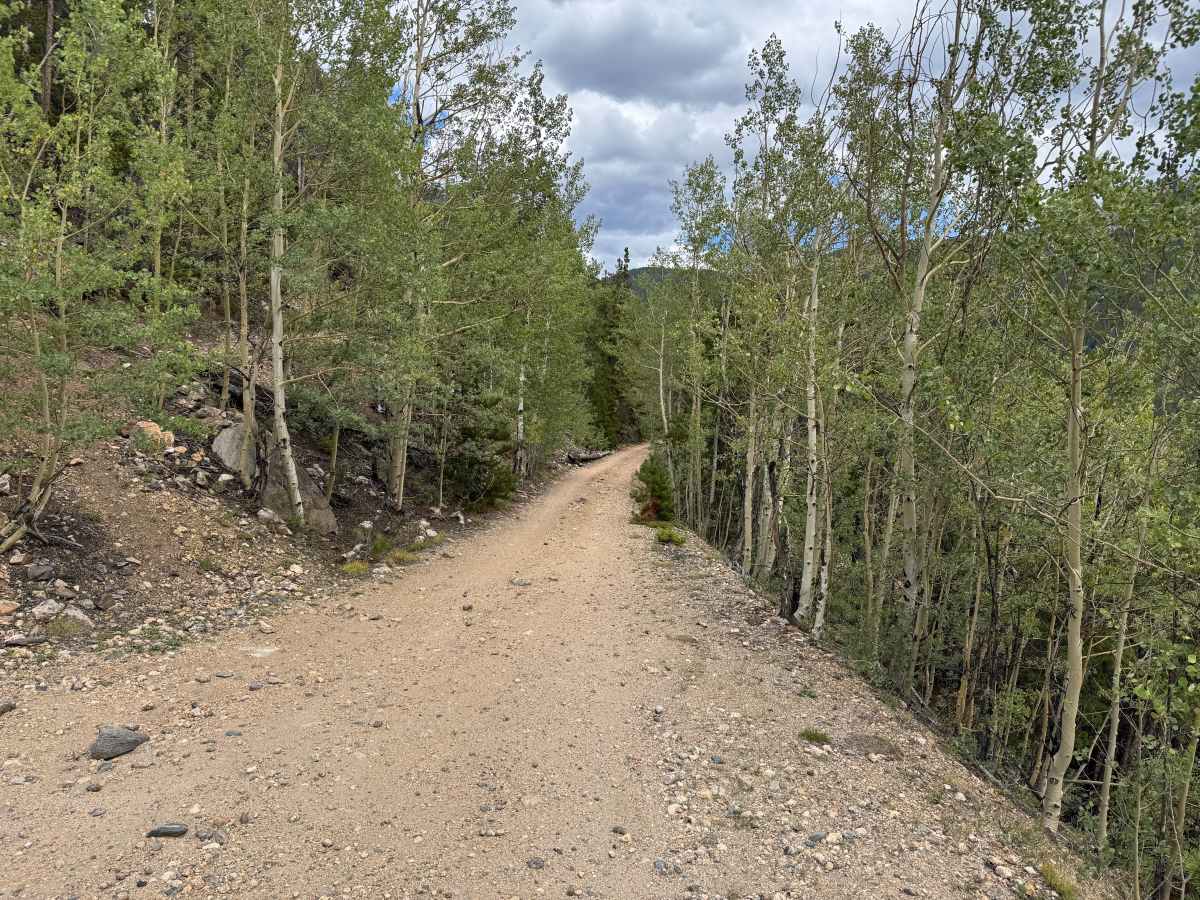
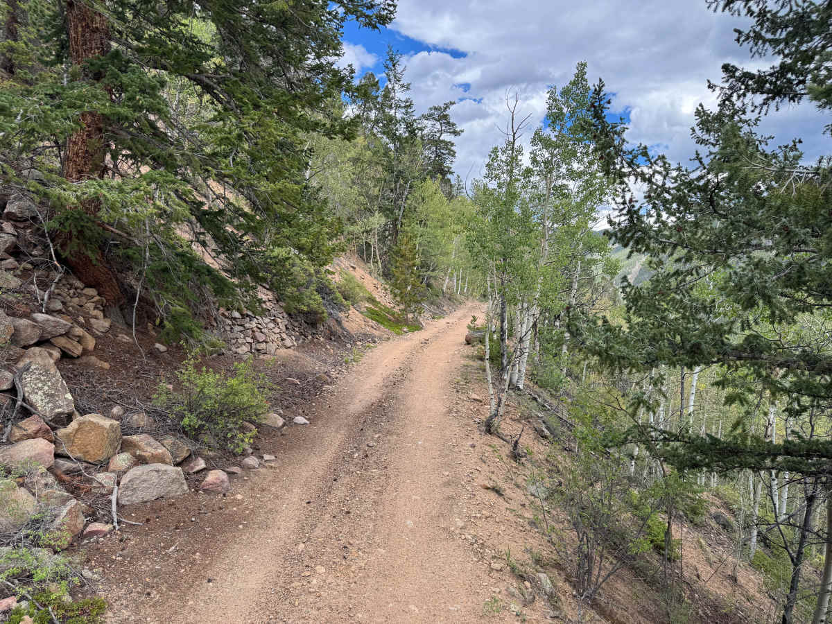
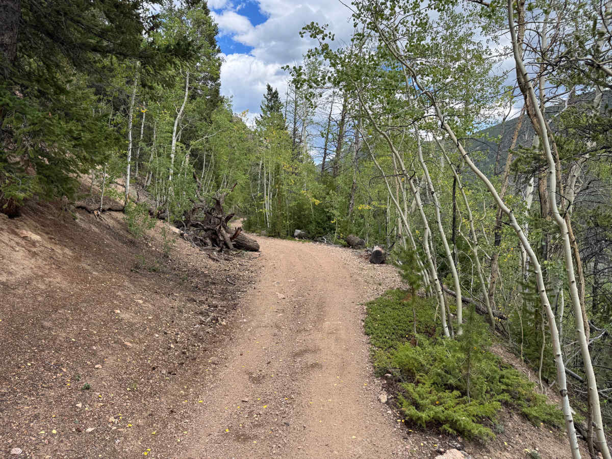
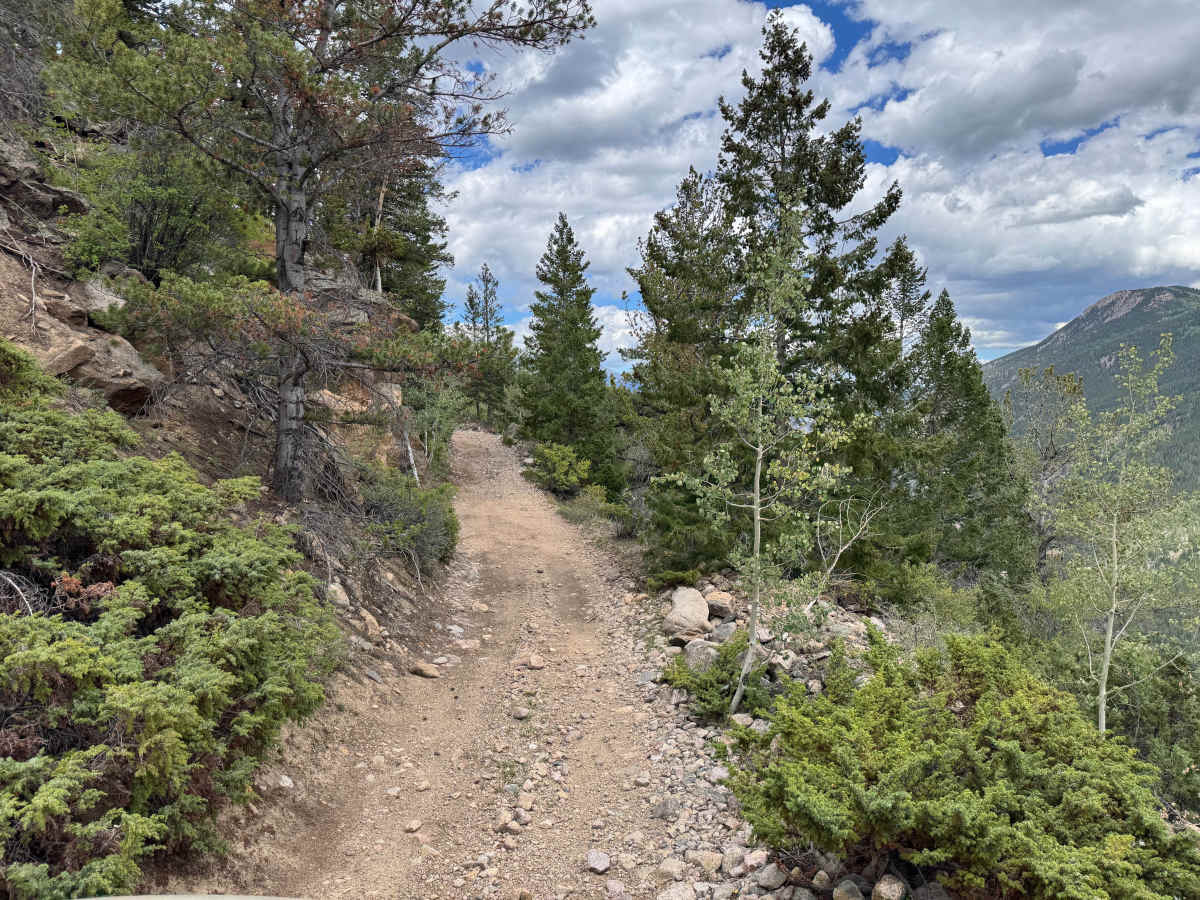
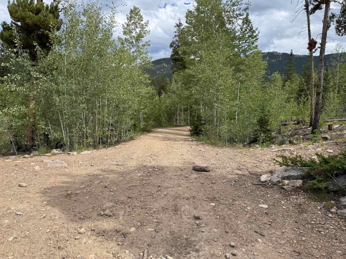
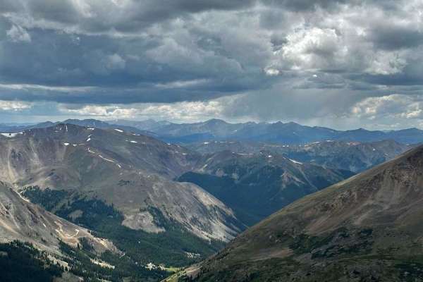
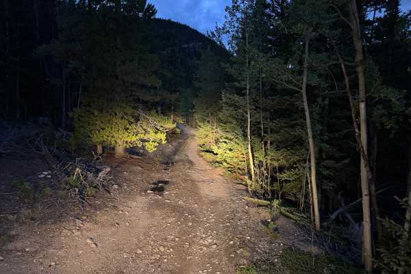
This out-and-back route follows an original section of the Argentine Central Railroad grade toward historic Pavilion Point. The narrow roadway remains approximately one vehicle wide for nearly its entire length, with very few places available to pull over and allow another vehicle to pass. The surface is primarily packed dirt and gravel with scattered loose and embedded rock. Aspen groves, pine and spruce forest, low shrubs, rocky hillsides, and occasional openings surround the route, with views across the steep mountain valley. The Argentine Central Railroad once carried passengers through this area, and construction of a summer resort at Pavilion Point began in 1916. Today, the stone chimney is the primary remaining feature of the resort. A large open area near the chimney provides a safe location to turn around. Motorized travel ends at Pavilion Point, while the original railroad grade continues beyond the site as a non-motorized hiking and biking trail toward Silver Plume. There is no fixed seasonal motorized closure currently listed for this route, but snow and winter conditions can prevent vehicle access for much of the year. Access is generally most reliable during the summer and early fall, and conditions should be checked before traveling.
Difficulty
The original railroad grade provides a relatively smooth and gradual route with a packed dirt and gravel surface, scattered loose and embedded rock, and minor erosion. The trail is only one vehicle wide with almost no room to pass, making oncoming traffic the primary challenge despite the lack of major technical obstacles.
History
The mountains above Georgetown and Silver Plume contain an extensive network of historic mining, wagon-road, and railroad corridors. Silver discoveries in the Argentine district began in the 1860s, and wagon toll roads were constructed through the Leavenworth Creek drainage and across Argentine Pass beginning in 1869, providing an important early connection between Georgetown and mining communities west of the Continental Divide. Transportation changed again in the early 1900s with construction of the three-foot narrow-gauge Argentine Central Railway. Beginning at the Colorado & Southern connection at Silver Plume, the railroad climbed through the mining district to Waldorf and ultimately reached Mount McClellan. The line used steep grades, sharp curves, switchbacks, and Shay locomotives to negotiate the mountains while hauling ore and carrying tourists into the high country. Clear Creek County records the railway opening to Waldorf in 1906, and historical documentation shows that portions of today's roads through the area occupy or closely follow the former railroad grade.