
Beginner Off-Road Trails
Near Caruthers, California
Explore All Beginner Trails Near Caruthers, California
Beginner Off-Road Trails Near Caruthers, California
Discover the best beginner-friendly off-road trails near you. These easier, lower-rated trails are a great place to start — browse trail maps, check difficulty ratings, and find your next adventure.
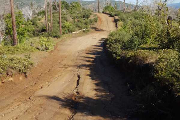
Jose Basin
This is the primary dirt road running through the Jose Creek Basin in the Sierra National Forest and connects the north end of Jose Basin Road to Auberry Road/Highway 168. It is wide enough in most places to allow vehicles to pass each other. Depending on the weather, there could be occasional muddy...
Learn more about Jose Basin
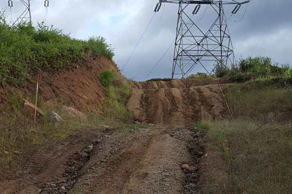
Rector Line 9S006
Rector Line (Forest Service Road 9S006) is a rugged backcountry route in the Sierra National Forest, best suited for high-clearance 4x4 rigs and seasoned drivers looking for a remote challenge near Shaver Lake. This trail stands out for its mix of decomposed granite, embedded rock, and steep, off-ca...
Learn more about Rector Line 9S006
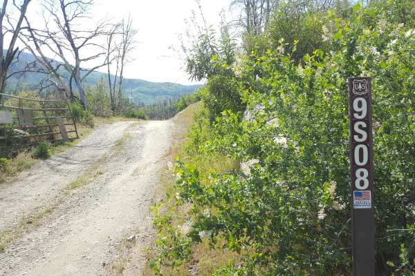
Sugarloaf - FS 9S08
This is a point-to-point single vehicle-width trail in the Jose Creek Basin area. The surface is primarily packed dirt with short stretches of gravel. There can also be shallow ruts and mud holes frequently along the route. This trail will pass through both a section of forest with fire damage and a...
Learn more about Sugarloaf - FS 9S08
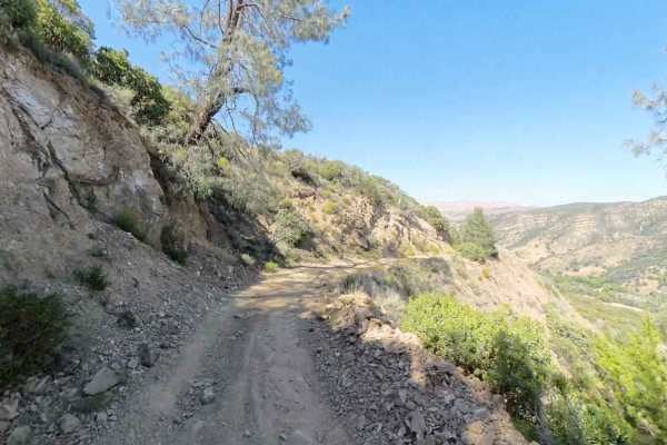
New Idria Dam to Ghost Town
Beginning at the BLM gate southwest of New Idria Dam, this trail winds around the westerly side of the lake and canyon above the former mining town of New Idria. Descending 1,200 feet in elevation, the route will take you along an unpaved dirt path through several areas of switchbacks and narrow she...
Learn more about New Idria Dam to Ghost Town
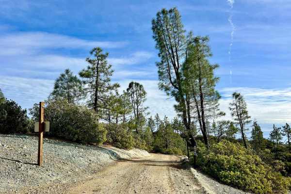
Aurora Cutoff R14
Aurora Cutoff R14 is a narrow two-track trail that traces the top of a ridge, leading you toward the historic Aurora Mine. This scenic route offers plenty of opportunities to explore single-track trails branching off to either side, inviting you to venture deeper into the area's rugged beauty. The m...
Learn more about Aurora Cutoff R14
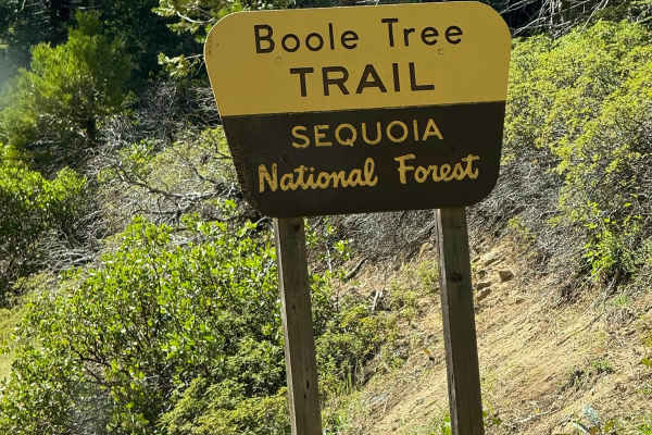
Boole Tree Trailhead
Enter through the National Park fee booth and follow the signs to Grant Grove Village and the Cedar Grove area. The signs for the Boole Tree Trailhead will be along road 180 just past the Cherry Gap OHV Staging Area. The pull-off will be on the driver's side when driving and heading towards Cedar Gr...
Learn more about Boole Tree Trailhead
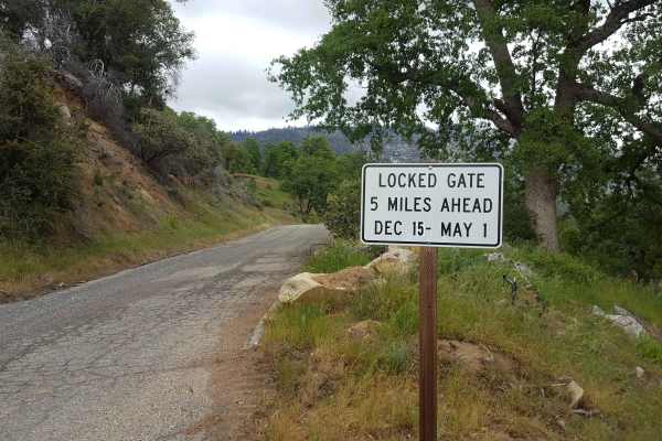
Peckinpah
Peckinpah Trail (FS Route 8S009) is a rugged backcountry route in the Sierra National Forest that challenges experienced offroaders with its rocky climbs and tight forested passages. Ideal for high-clearance 4WDs, dirt bikes, and ATVs, this technical trail offers a rewarding escape for those seeking...
Learn more about Peckinpah
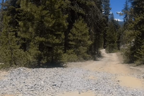
Powder Hill Road - FS 26e330
This is a short trail that provides access to the Bald Rush Trail and Lookout Rock. It is about a 1/2 mile in length and starts at GPS coordinates N37.09306° W119.18533° and ends at the intersection of Bald Rush GPS coordinates N37.09725° W119.18520°. The trail's surface is a combination of hard-pa...
Learn more about Powder Hill Road - FS 26e330
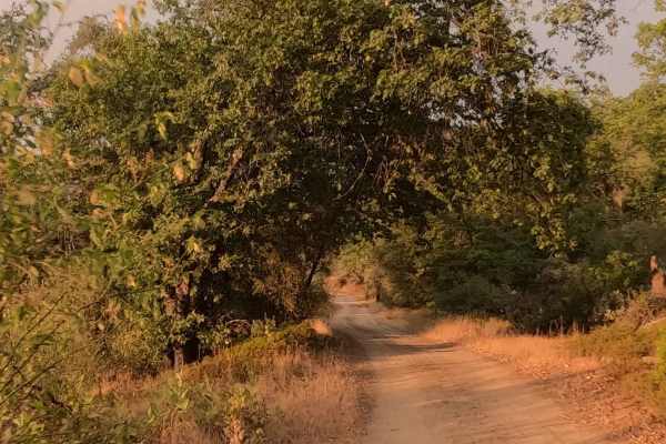
West Malum Ridge - FS 7S075
West Malum Ridge (FS 7S075) is a relaxed, scenic cruiser that invites you to roll down the windows and breathe in the Sierra air. This easy dirt road serves primarily as an access route to some prime real estate for dispersed campers. The trail meanders through a mixed forest of oak and pine, offeri...
Learn more about West Malum Ridge - FS 7S075
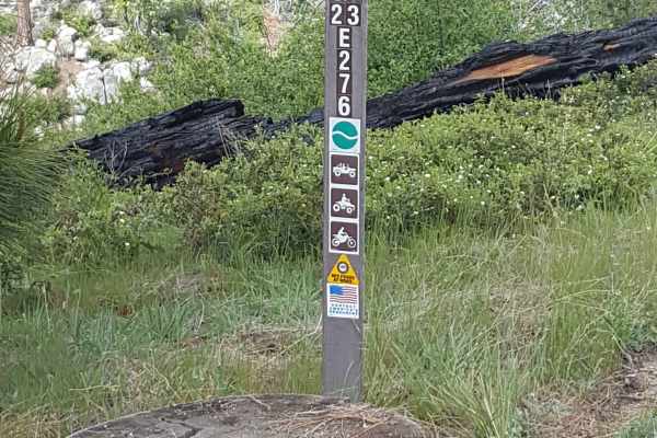
Pah - FS 23E276
This short trail is a single vehicle-width bypass off Peckinpah Road on the slope of Peckinpah Mountain. The surface is primarily dirt with embedded rocks and a short rocky ledge section. There can be shallow ruts and tight vegetation along the route. The trail can be traveled in either direction, b...
Learn more about Pah - FS 23E276
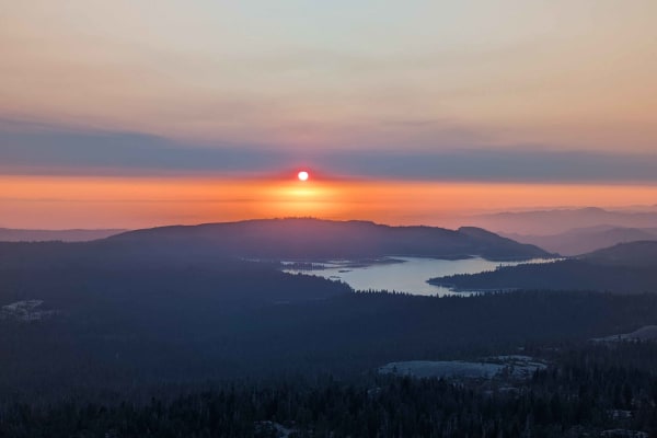
Tower - FS 25E314
This is an extremely short, 0.7-mile spur trail that provides direct access to a spectacular summit and the Bald Mountain fire watchtower destination. The trail starts as a relatively clear two-track, but the difficulty ramps up quickly as it climbs. The final portion of the climb crests onto an exp...
Learn more about Tower - FS 25E314
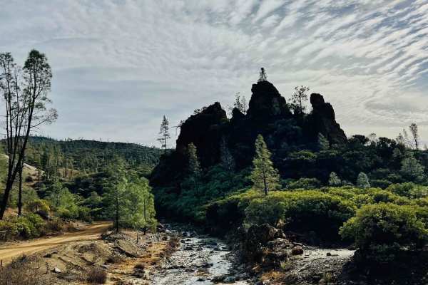
R1 Clear Creek Road
R1 Clear Creek Road lives up to its namesake by following the crisp, flowing waters of Clear Creek as it twists and winds through the canyon toward the hills. This trail provides an enjoyable adventure, rated as a 2, making it accessible for many vehicles. Be aware that there is no cell service alon...
Learn more about R1 Clear Creek Road
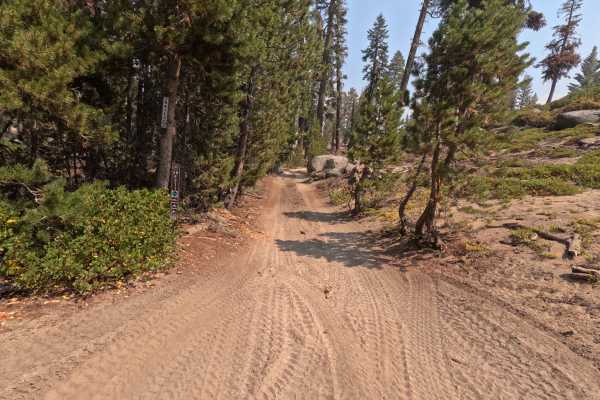
Plain - FS 26E211
Don't let the name fool you—Plain (FS 26E211) is anything but boring. This delightful connector trail serves as a scenic bridge between the popular Bald Mountain (FS 26E219) route and the more technical Basecamp (FS 26E328) trail. The drive is a quintessential High Sierra experience, featuring a dyn...
Learn more about Plain - FS 26E211
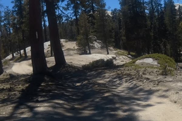
Powder Hill - FS 26e330
This is a fun trail with s-turns through the trees. There are a few sections that require you to squeeze between a couple of trees as well as some large boulders, but I believe that full-size 4x4s should be able to make it through. Further down the trail, it has some loose rocks, tree roots, and s...
Learn more about Powder Hill - FS 26e330
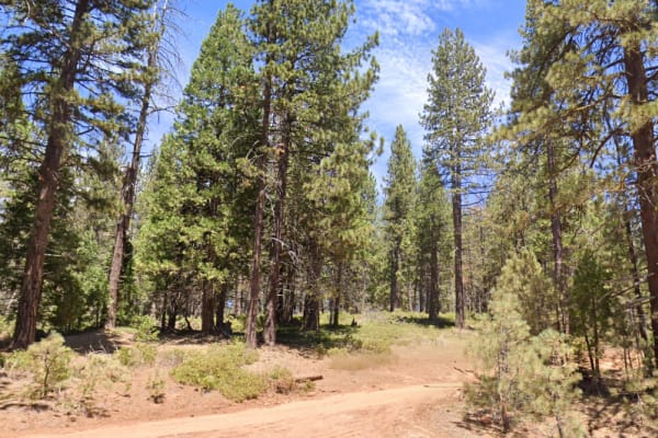
Converse - 13S07/13S50
This is a short loop dirt road in Sequoia National Forest. Along the loop, you can find a few spots perfect for tent camping, with plenty of room for up to 2 to 3 tents and vehicles. The trail is just next to/across from the Princess Campground and Indian Basin Grove off Highway 180.
Learn more about Converse - 13S07/13S50
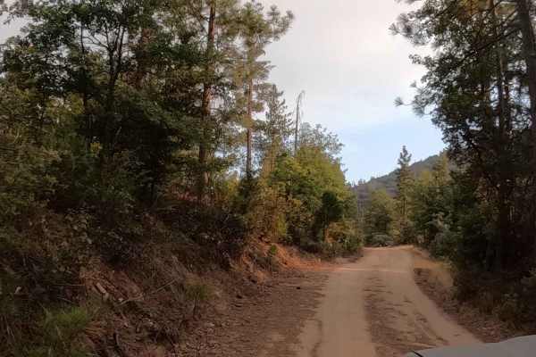
Annex Sale - FS 7S062Y
Annex Sale (FS 7S062Y) is a short, sweet, and incredibly useful out-and-back trail for anyone looking to escape the crowds near Bass Lake. Branching off the paved Highland Drive, this easy dirt two-track climbs gently through a mixed conifer forest, serving essentially as a mile-long driveway to som...
Learn more about Annex Sale - FS 7S062Y
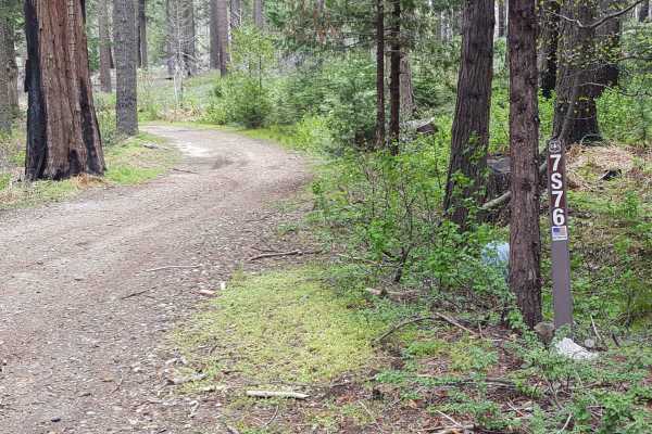
Ellis Meadow - FS 7S076
This point-to-point connector trail runs through wooded sections and a large meadow area near Roush Creek. The route is at least as wide as a full-size vehicle and has wider areas to allow vehicles to pass each other easily. The surface is primarily dirt with small embedded rocks. There can be occas...
Learn more about Ellis Meadow - FS 7S076
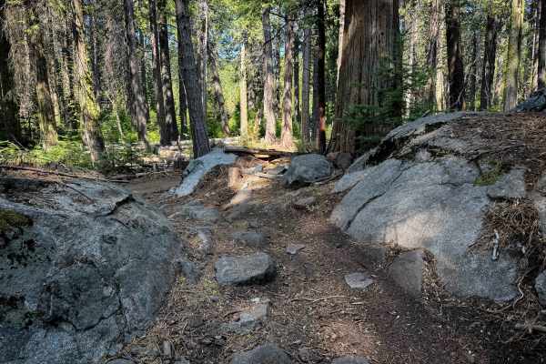
23E298
23E298 is a 1.1-mile-long easy ATV trail through the Whisky Falls trail system in the Sierra National Forest. The south end starts off wide and easy, between scrub oaks and tall pines, with gradual corners, great visibility, a little bit of whoops, but mostly smooth dirt covered in pinecones and pi...
Learn more about 23E298
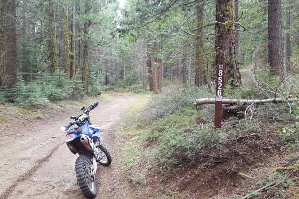
Peckinpah Meadow - FS 8S26
This is a point-to-point trail that creates a loop with Peckinpah Road. It runs past a large meadow area as well as along the mountainside, providing great scenic views of North Fork. The route is at least as wide as a full-size vehicle and has many wider areas allowing vehicles to pass each other e...
Learn more about Peckinpah Meadow - FS 8S26
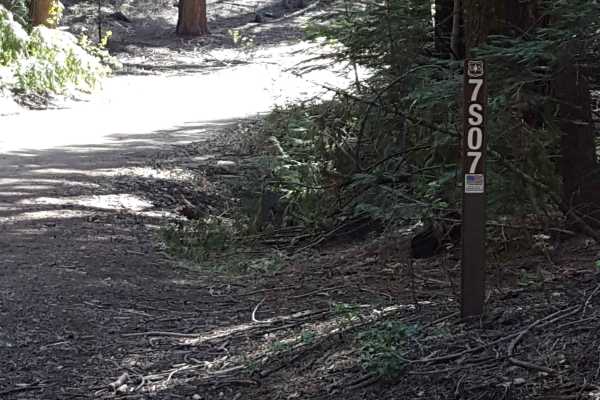
Fish Creek West - FS 7S007
This is a main FS road that will take you out towards Whiskey Ridge and through the Fish and Ross Creek areas, where you can access several other trailheads. Panoramic views of the surrounding forest are possible in sections of this route as it passes along the side of the mountain. The road is gene...
Learn more about Fish Creek West - FS 7S007
Beginner ATV trails near Caruthers, California
Explore ATV-friendly trails near you. These trails are accessible for vehicles up to 50 inches wide, perfect for ATVs and smaller off-road machines.
Jose Basin
This is the primary dirt road running through the Jose Creek Basin in the Sierra National Forest and connects the north end of Jose Basin Road to Auberry Road/Highway 168. It is wide enough in most places to allow vehicles to pass each other. Depending on the weather, there could be occasional muddy...
Learn more about Jose Basin
Rector Line 9S006
Rector Line (Forest Service Road 9S006) is a rugged backcountry route in the Sierra National Forest, best suited for high-clearance 4x4 rigs and seasoned drivers looking for a remote challenge near Shaver Lake. This trail stands out for its mix of decomposed granite, embedded rock, and steep, off-ca...
Learn more about Rector Line 9S006
Sugarloaf - FS 9S08
This is a point-to-point single vehicle-width trail in the Jose Creek Basin area. The surface is primarily packed dirt with short stretches of gravel. There can also be shallow ruts and mud holes frequently along the route. This trail will pass through both a section of forest with fire damage and a...
Learn more about Sugarloaf - FS 9S08
Aurora Cutoff R14
Aurora Cutoff R14 is a narrow two-track trail that traces the top of a ridge, leading you toward the historic Aurora Mine. This scenic route offers plenty of opportunities to explore single-track trails branching off to either side, inviting you to venture deeper into the area's rugged beauty. The m...
Learn more about Aurora Cutoff R14
Beginner UTV/side-by-side trails near Caruthers, California
Find UTV and side-by-side trails near you. These trails accommodate vehicles up to 60 inches wide, ideal for UTVs, side-by-sides, and wider off-road rigs.
Jose Basin
This is the primary dirt road running through the Jose Creek Basin in the Sierra National Forest and connects the north end of Jose Basin Road to Auberry Road/Highway 168. It is wide enough in most places to allow vehicles to pass each other. Depending on the weather, there could be occasional muddy...
Learn more about Jose Basin
Rector Line 9S006
Rector Line (Forest Service Road 9S006) is a rugged backcountry route in the Sierra National Forest, best suited for high-clearance 4x4 rigs and seasoned drivers looking for a remote challenge near Shaver Lake. This trail stands out for its mix of decomposed granite, embedded rock, and steep, off-ca...
Learn more about Rector Line 9S006
Sugarloaf - FS 9S08
This is a point-to-point single vehicle-width trail in the Jose Creek Basin area. The surface is primarily packed dirt with short stretches of gravel. There can also be shallow ruts and mud holes frequently along the route. This trail will pass through both a section of forest with fire damage and a...
Learn more about Sugarloaf - FS 9S08
Aurora Cutoff R14
Aurora Cutoff R14 is a narrow two-track trail that traces the top of a ridge, leading you toward the historic Aurora Mine. This scenic route offers plenty of opportunities to explore single-track trails branching off to either side, inviting you to venture deeper into the area's rugged beauty. The m...
Learn more about Aurora Cutoff R14
The onX Offroad Difference
onX Offroad combines trail photos, descriptions, difficulty ratings, width restrictions, seasonality, and more in a user-friendly interface. Available on all devices, with offline access and full compatibility with CarPlay and Android Auto. Discover what you're missing today!
Open Trail Map