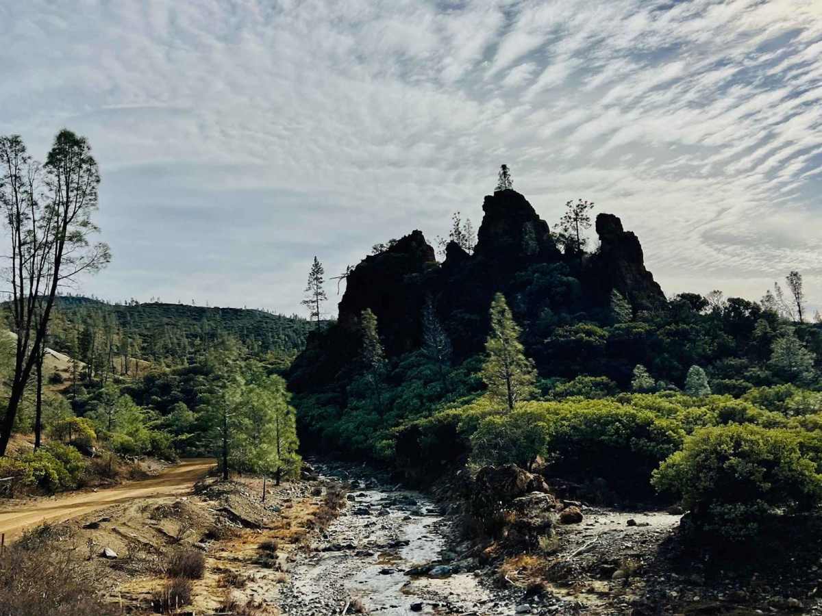
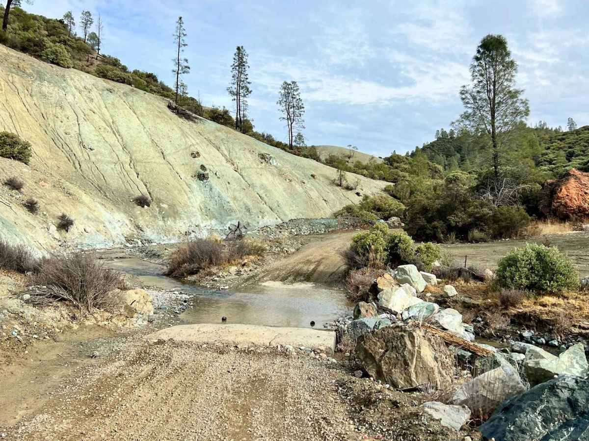
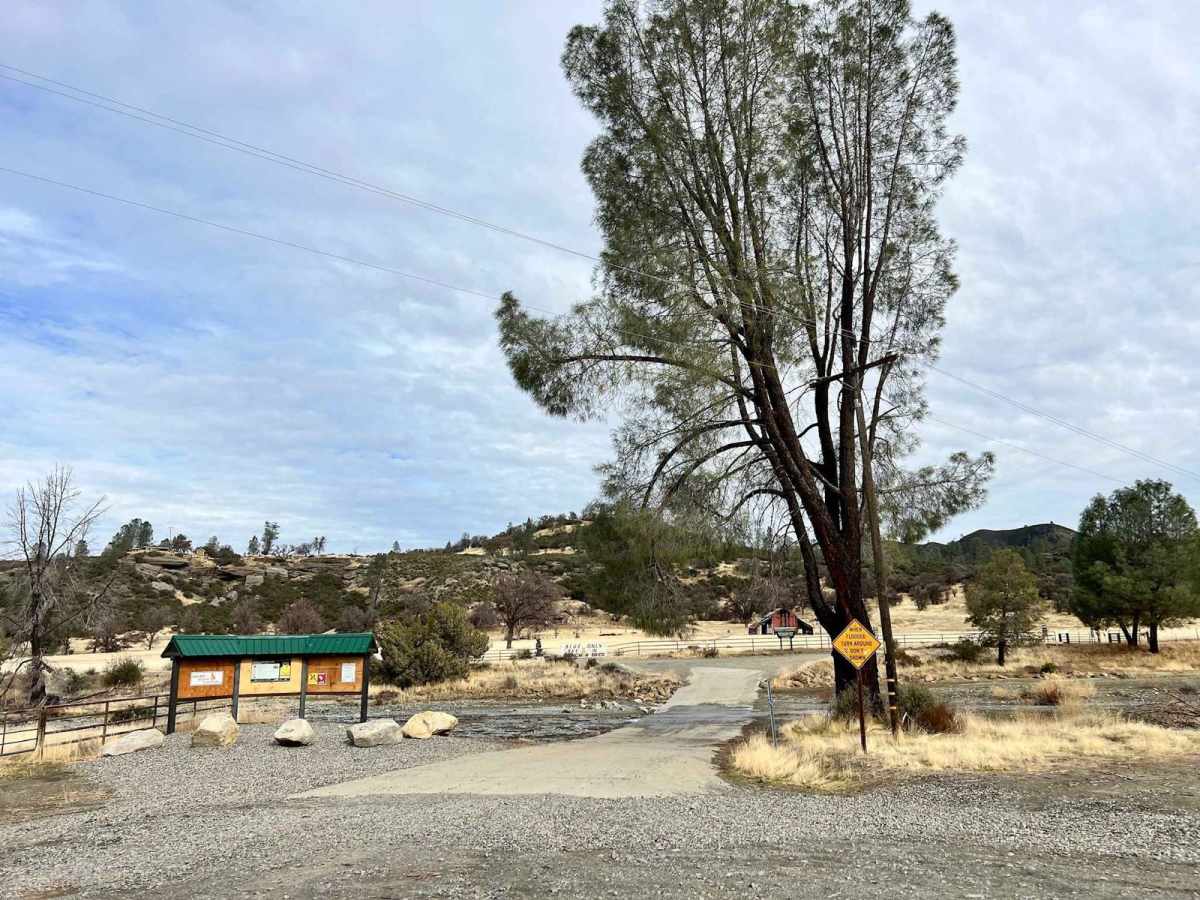
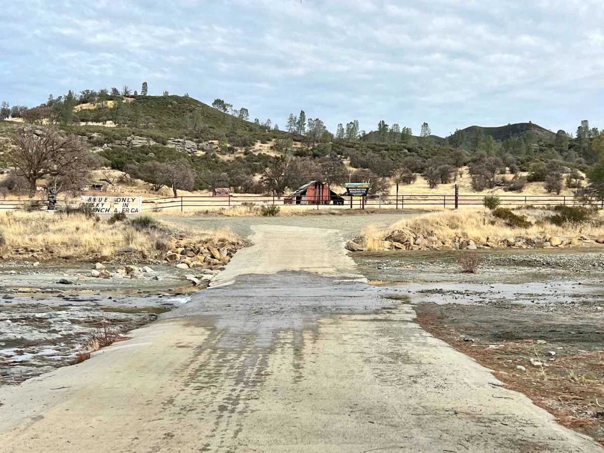
R1 Clear Creek Road

Total Miles 9.4
Technical Rating
2 Easy
Best Time Summer, Spring, Fall
Trail Type Full-Width Road
Accessible By
Open Trail Map

Trail Overview

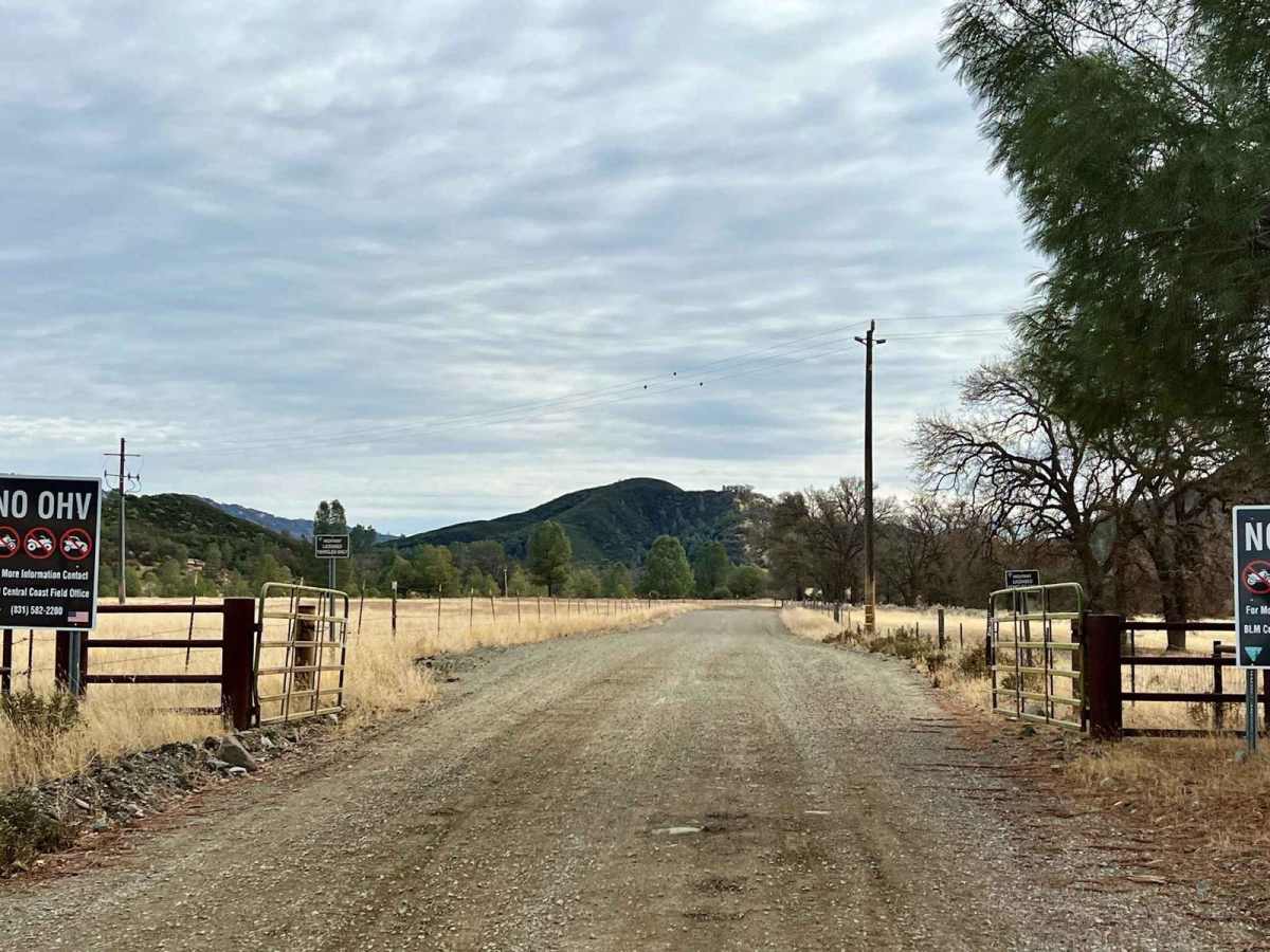
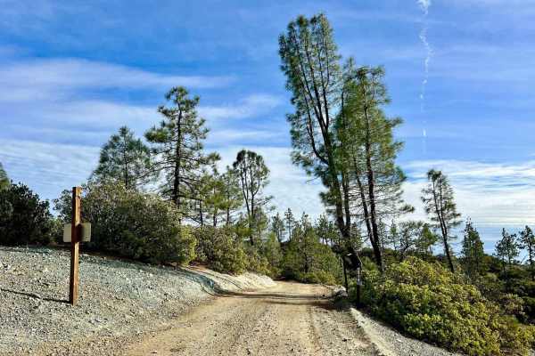
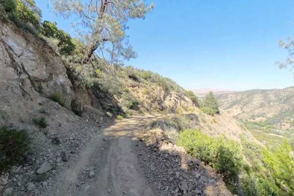
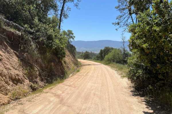
R1 Clear Creek Road lives up to its namesake by following the crisp, flowing waters of Clear Creek as it twists and winds through the canyon toward the hills. This trail provides an enjoyable adventure, rated as a 2, making it accessible for many vehicles. Be aware that there is no cell service along this route, so it's essential to download your offline maps prior to your journey. As you progress along R1, you'll encounter plenty of options for both single-track and OHV trails branching off, inviting you to explore even further into the picturesque landscape. The trail itself features numerous easy creek crossings, where the water remains only a few inches deep, adding to the charm and accessibility of the experience. Before reaching the locked gate, which your permit grants you access to, you'll find two well-appointed campgrounds conveniently located along the route. Both campgrounds are equipped with pit toilets and spacious flat sites boasting tables, ramadas, and metal fire rings, creating a comfortable setting for an outdoor getaway.As this trail is located in California, it's crucial to stay informed about any red flag warnings that may arise before you light a campfire--even in designated campgrounds--to minimize the risk of wildfires in the area.

Photos of R1 Clear Creek Road

Difficulty

This trail is rated as a 2, reflecting its generally easy navigation through clear waters and diverse terrain and options for additional exploration on side trails.

Technical Rating

2

Status Reports

Add Status Report
Cody Hoover
Dec 06, 2025
Open
Trail is super easy for an AWD. A few water crossings nothing crazy.
Terry Hoehn
Sep 06, 2025
Open
All gates were closed on main trail and roads off main trail. Goat Mountain was open and a blast to ride up. Call BLM before going to see if gates are open.
huffy hafera
Sep 01, 2025
Open
Erik Sundberg
Jul 07, 2025
Open
Matt Silveira
May 23, 2025
Open
I was a little discouraged seeing that the last person to attempt found it closed. To clarify, it’s not. The Clear Creek Management Area requires a permit to access. You can get a permit at recreation.gov, and you’ll get an email with a combination to one of the locks on the gate. This will let you in and give you access to the trails. R1 is easy and wide, perfect for stock trucks with 4x4. I was able to take the entire trail without lowering tire pressure or having to do anything technical. One point of advice… you may be tempted in your stock truck to take a left at the fork toward the end of the R1 trail instead of going right toward Idria and the end of Clear Creek Road. Do so at your own risk. It doesn’t tell you, but that left goes into the R2 trail, and you’re coming home with pinstripes. It’s navigable, but it takes care. R2 dead ends at a gate you can’t get a code for, so you have to backup to a clearing, turn around and go all the way back. Just go right.
Daniel Gutierrez
Apr 10, 2025
Open

R1 Clear Creek Road Trail can be accessed by the following ride types:

  • Single Track
  • 50 Inch
  • 60 Inch
  • High Clearance
  • Full Width

R1 Clear Creek Road Map

The onX Offroad Difference

onX Offroad combines trail photos, descriptions, difficulty ratings, width restrictions, seasonality, and more in a user-friendly interface. Available on all devices, with offline access and full compatibility with CarPlay and Android Auto. Discover what you're missing today!

Open Trail Map