Powder Hill Road - FS 26e330

Total Miles0.5
Technical Rating
2Easy
Best TimeSpring, Summer, Fall
Trail TypeFull-Width Road
Accessible By
Open Trail Map

Trail Overview

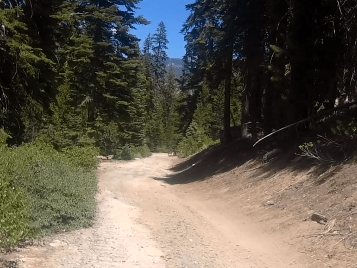
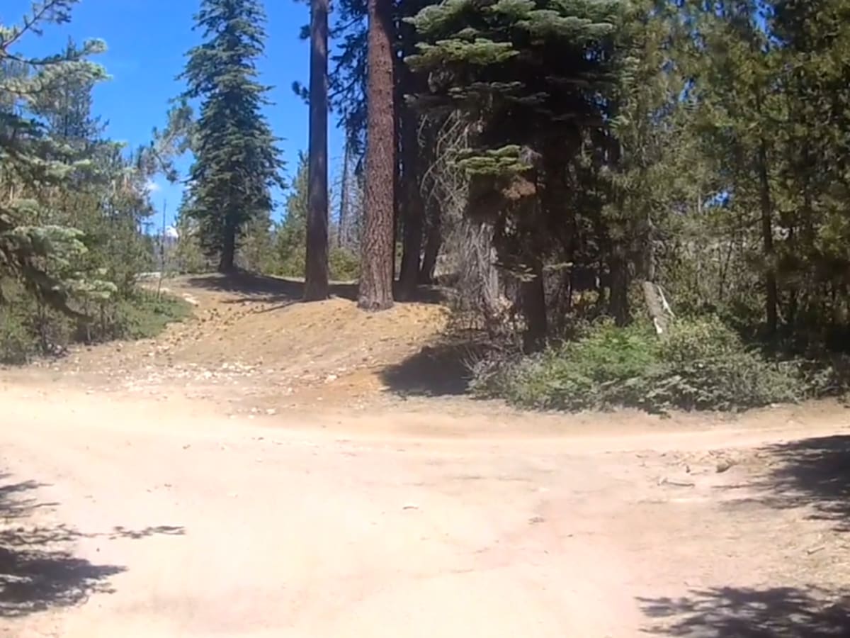
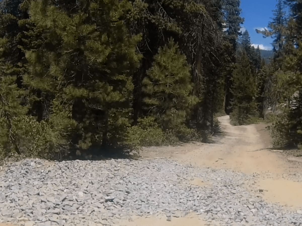
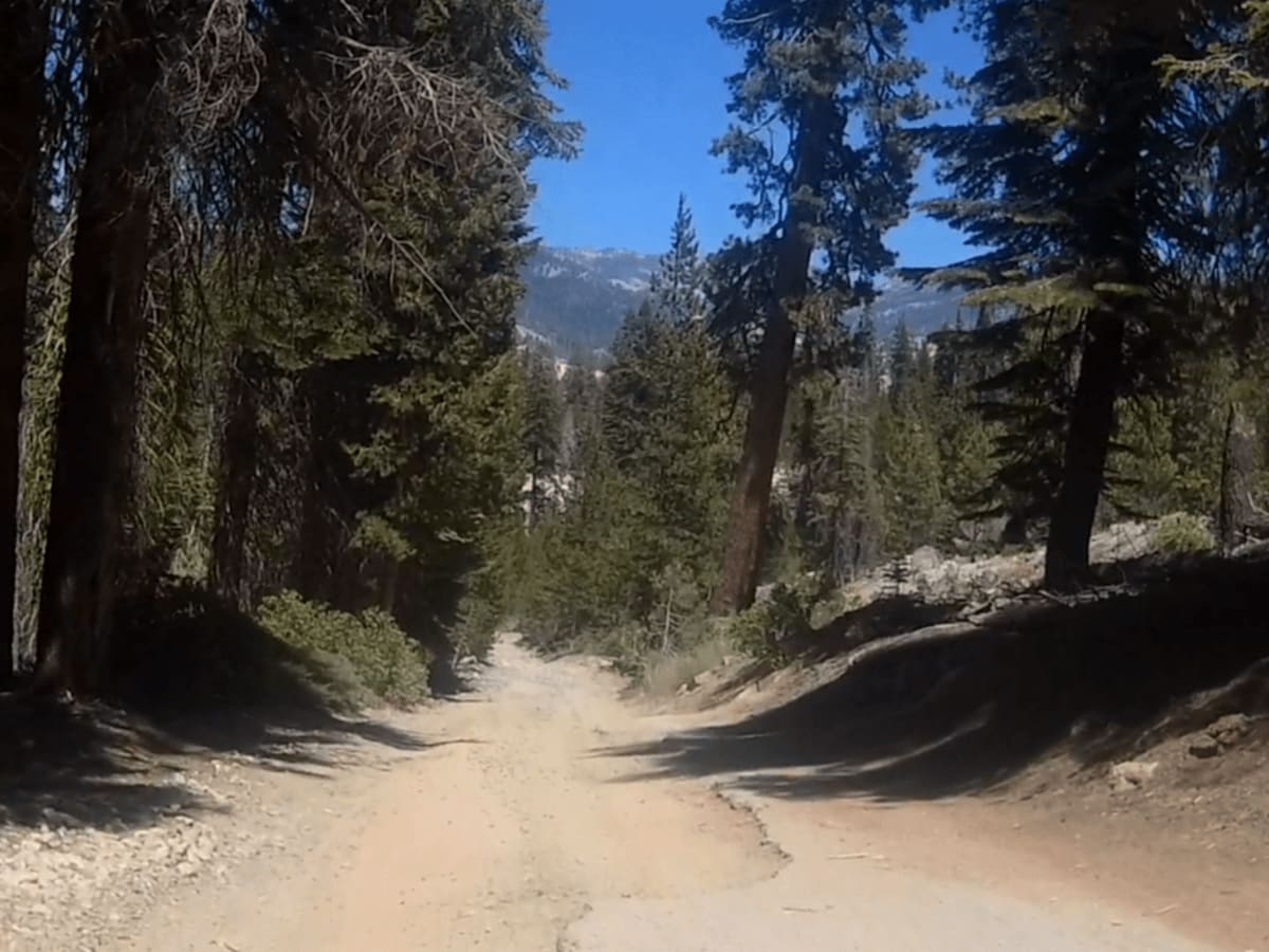
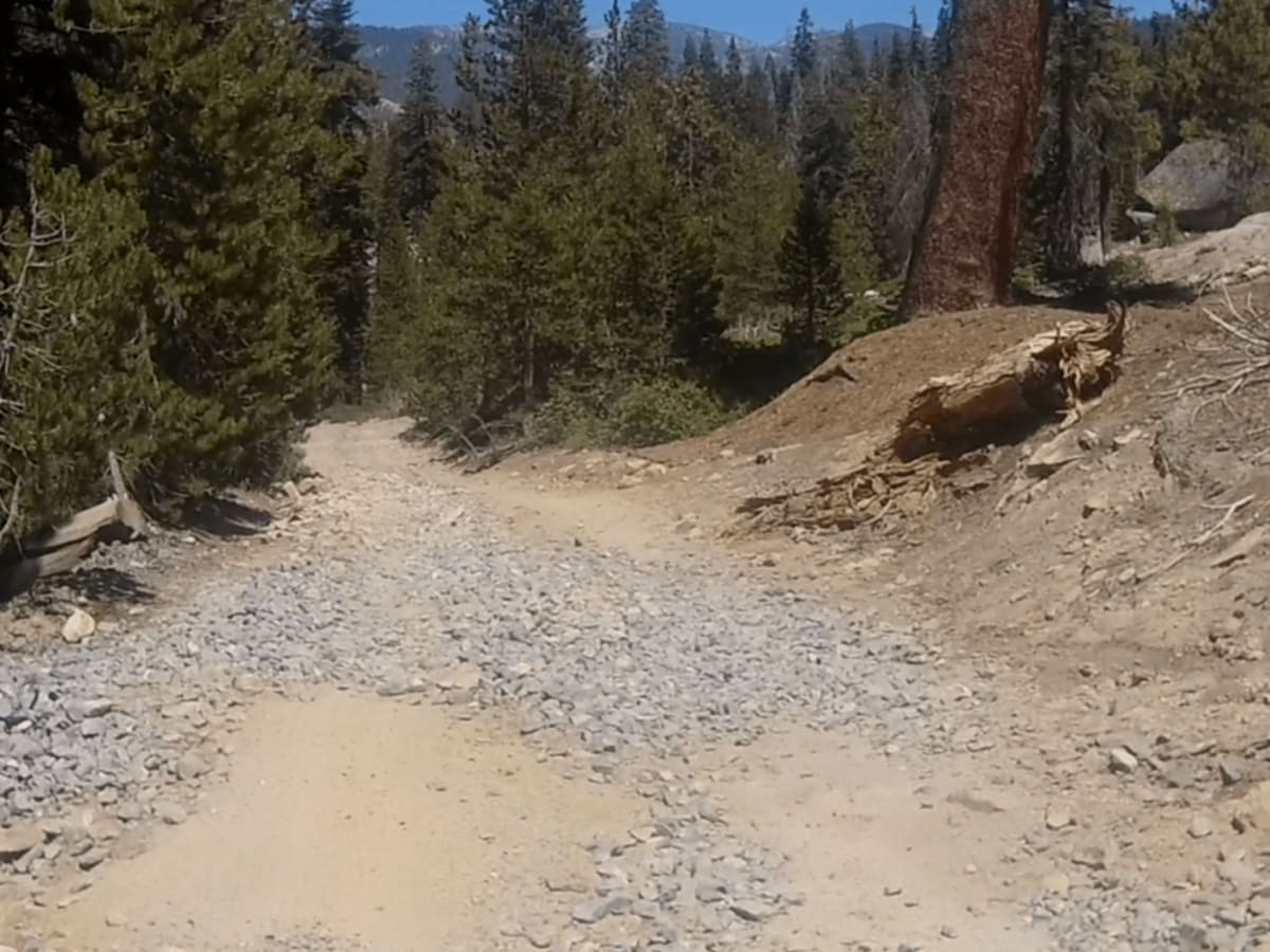
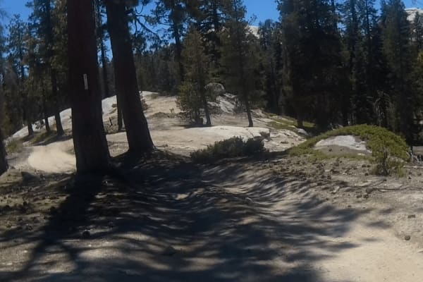
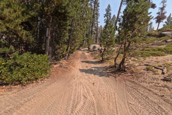
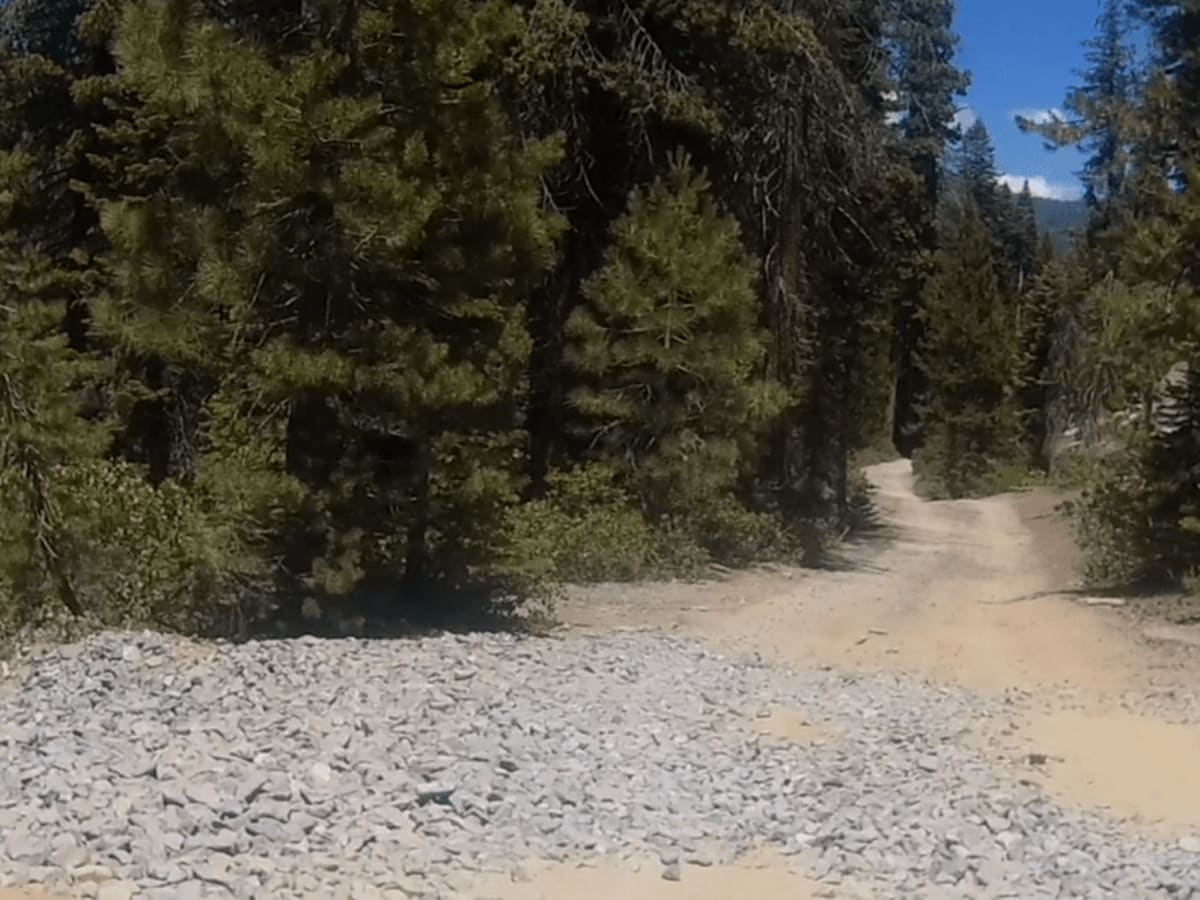
This is a short trail that provides access to the Bald Rush Trail and Lookout Rock. It is about a 1/2 mile in length and starts at GPS coordinates N37.09306° W119.18533° and ends at the intersection of Bald Rush GPS coordinates N37.09725° W119.18520°. The trail's surface is a combination of hard-pack dirt, gravel, and broken asphalt.

Photos of Powder Hill Road - FS 26e330

Difficulty

This trail should not be a challenge for offroad or street-legal 4x4 vehicles. There are a few sections with loose rocks and a couple of small stair steps. Most of the trail will accommodate two vehicles passing side by side.

Technical Rating

2

Powder Hill Road - FS 26e330 Trail can be accessed by the following ride types:

  • Single Track
  • 50 Inch
  • 60 Inch
  • High Clearance
  • Full Width

Powder Hill Road - FS 26e330 Map

The onX Offroad Difference

onX Offroad combines trail photos, descriptions, difficulty ratings, width restrictions, seasonality, and more in a user-friendly interface. Available on all devices, with offline access and full compatibility with CarPlay and Android Auto. Discover what you're missing today!

Open Trail Map