
Beginner Off-Road Trails
Near Calcium, New York
Explore All Beginner Trails Near Calcium, New York
Beginner Off-Road Trails Near Calcium, New York
Discover the best beginner-friendly off-road trails near you. These easier, lower-rated trails are a great place to start — browse trail maps, check difficulty ratings, and find your next adventure.
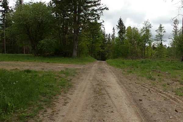
Lewis County Area A - Green Trail
This is a county parcel with several connecting trails, making for a good day of riding. You can expect narrow, muddy, hilly trails designed for ATVs and 60-inch SxSs. Bridges and tight turns make for some fun riding. Deer are a common sighting. There are open areas for picnics, etc.
Learn more about Lewis County Area A - Green Trail
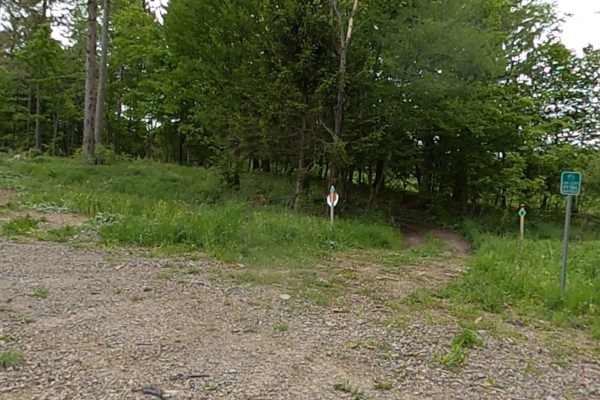
Lewis County Area A - Green Trail
This is a county parcel with several connecting trails, making for a good day of riding. You can expect narrow, muddy, hilly trails designed for ATVs and 60-inch SxSs. Bridges and tight turns make for some fun riding. Deer are a common sighting. There are open areas for picnics, etc. Lewis County T...
Learn more about Lewis County Area A - Green Trail
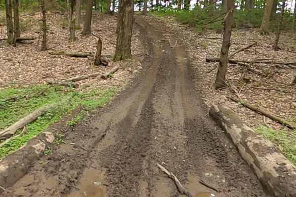
Lewis County Area A - Blue Trail
This is a county parcel with several connecting trails, making for a good day of riding. You can expect narrow, muddy, hilly trails designed for ATVs and 60-inch SxSs. Bridges and tight turns make for some fun riding. Deer are a common sighting. There are open areas for picnics, etc.
Learn more about Lewis County Area A - Blue Trail
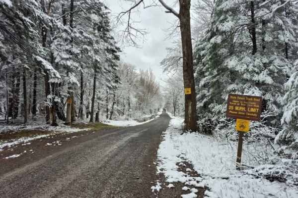
Mile Strip Road
Plenty to see along this track that cuts through the heart of the Tug Hill State Forest. This truck trail will show you all the Tug Hill region has to offer, from dense hardwood stands to groves of spruce and hemlock with gentle streams passing through them. You can also pull off near the large pond...
Learn more about Mile Strip Road
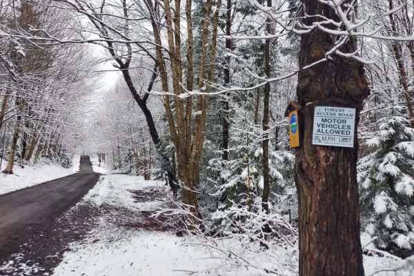
Horace Forward Truck Trail
Journey down one of the longest public forest access roads in the Tughill region that crosses over the Tug Hill State Forest and the Sears Pond State Forest. The area directly alongside the trail offers up scenery this area is known for, including large bogs, beaver ponds, and the occasional small s...
Learn more about Horace Forward Truck Trail
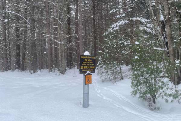
Aspen Hollow Road
An offshoot of Texas Road in Beartown State Forest, this is a seasonally maintained NYDEC Trail. During the summer and fall months, enjoy a breathtaking view of the changing leaves, deer, and other joys of nature, on an easy dirt/gravel road. During the winter months, this becomes a great snow wheel...
Learn more about Aspen Hollow Road
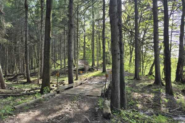
Upper Forks-Factory Trail
The upper portion of the Forks-Factory trail remains high and dry, running along a scenic ridgeline overlooking the Deer River. The route features three ATV bridges and a picnic table overlook, both of which provide excellent photo opportunities. Please note that there are several steep climbs throu...
Learn more about Upper Forks-Factory Trail
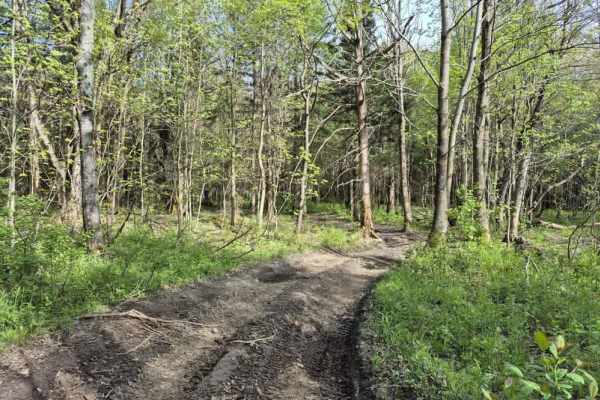
Forks-Factory Trail Connector
The connector portion of the Forks-Factory trail features several muddy, rutted sections as you skirt the edges of a beaver swamp. There are many opportunities to enjoy the views and capture photos of your machine and local wildlife. Please note that there are several climbs throughout; we strongly ...
Learn more about Forks-Factory Trail Connector
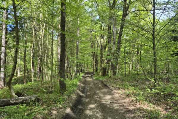
Lower Forks-Factory Trail
Despite its name, the Lower Forks-Factory trail ascends to the highest point in the system. The route features shallow mud puddles, rutted ridge trails, and several deep mud sections. Please be advised that there are multiple climbs throughout; we strongly encourage the use of 4WD to help preserve t...
Learn more about Lower Forks-Factory Trail
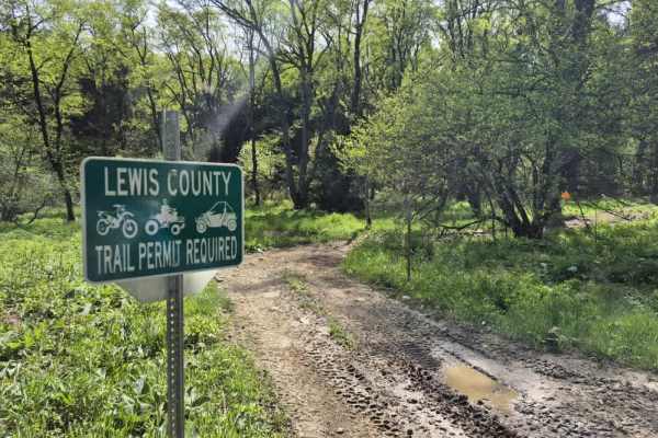
Worth Road Spur
Worth Road is a short, easy to moderate OHV connector in the Tug Hill Plateau designed for registered ATVs and compliant side-by-sides linking Worth Road and Culpepper Road within the Lewis County OHV Trail System. While not a destination trail on its own, it plays an important role in connecting la...
Learn more about Worth Road Spur
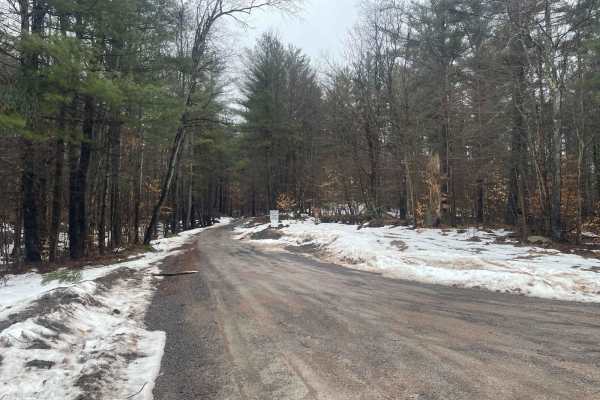
Texas Road
Texas Road through Beartown State Forest is designated Seasonal by the New York Department of Conservation and is not maintained between December 1st and April 1st. As such, during the winter and spring, it becomes a beautiful trail through the forest, with snow on the ground perfect for snow wheeli...
Learn more about Texas Road
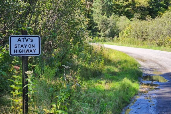
Worth Road Connector
Avoid the pavement! This route connects the Lewis County ATV/SXS trail system to the Jefferson County system and is all gravel/dirt. The trail offers many places to stop and take in the sights of the Tughill plateau. This trail is a public road and does not require a permit to ride.
Learn more about Worth Road Connector
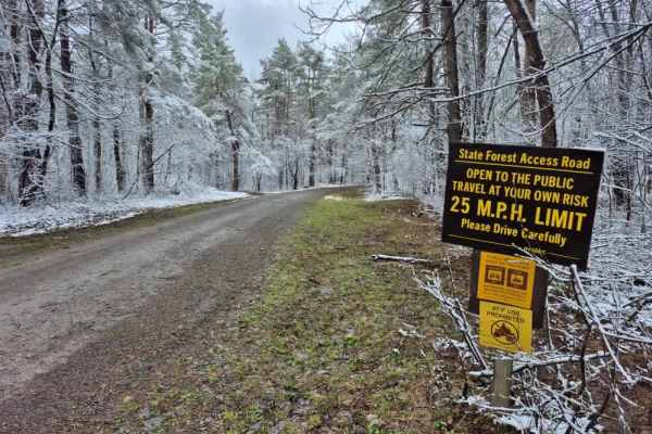
Huck Berry Truck Trail
Expect a well-maintained gravel road that is primarily one lane wide, though there is ample room along the sides of the trail to safely move over for oncoming traffic. This scenic route is well known for its wildlife viewing opportunities, with numerous ponds and wetland areas lining the trail that ...
Learn more about Huck Berry Truck Trail
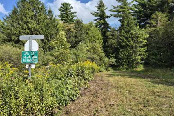
Culpepper Spur
Expect to see varying terrain as you creep through a mix of rocky trail and mud/dirt that traverses a mostly pine forest on the edge of O'Leary's pond. Lots of ruts and the potential for shallow water holes exist, especially after rain events. A Lewis County trail permit is required to use this trai...
Learn more about Culpepper Spur
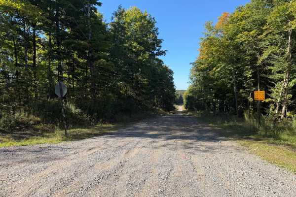
Olin Road
This seasonal road travels along a wide, wooded trail with a mix of maintained gravel, hard-packed dirt, loose stone, and several noticeably rocky sections. Travelers will encounter rolling hills and grades where exposed and embedded rocks create a rough, uneven surface and, at times, off-camber sec...
Learn more about Olin Road
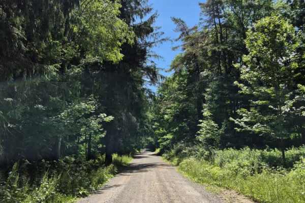
Culpepper Road
Culpepper Road serves as a connector between two primary ATV/SxS corridors and includes access to two Lewis County ATV systems. While a trail permit is not required for the road itself, one is mandatory to access the connected county systems. The road is legal for ATV/SxS use and offers plenty of sp...
Learn more about Culpepper Road
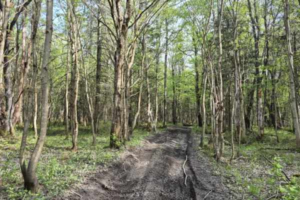
Flat Rock Swamp Spur
For those who are looking for a less swampy route through this unique landscape, this is it. This rolling trail passes through some new growth forest with the occasional mud hole along the way. Nothing you will need a winch for, but you will definitely need 4WD. Be sure to obtain a Lewis County Trai...
Learn more about Flat Rock Swamp Spur
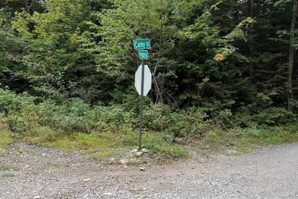
Carey Road
This route follows a maintained gravel road through mostly wooded terrain with a few open areas along the way. Travelers can expect a mix of packed gravel and loose stone terrain, gentle hills, and several curves. There is a narrow bridge located along the route, so use caution and watch for oncomin...
Learn more about Carey Road
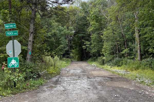
Rodgers Crossing Road
While traveling this seasonal road, you can expect a combination of dirt, gravel, embedded rock, shallow ruts, and numerous mud holes and areas of standing water. Conditions can become considerably wetter and muddier following rain. The route travels through mostly wooded terrain with some open wetl...
Learn more about Rodgers Crossing Road
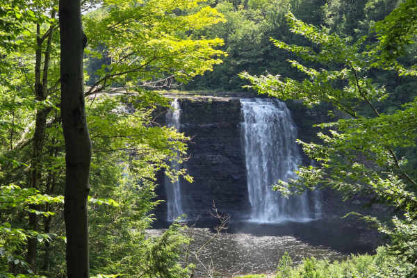
Altmar ATV-SxS Route
This is a well-used route for ATV and SxS users to get from Barnes Corners/Lewis County to Altmar in Oswego County, connecting to ATV club trails there. The route is mostly gravel, seasonal use, town roads with a few short sections of paved roads and some off-road trails, and is the only ATV-legal ...
Learn more about Altmar ATV-SxS Route
Beginner ATV trails near Calcium, New York
Explore ATV-friendly trails near you. These trails are accessible for vehicles up to 50 inches wide, perfect for ATVs and smaller off-road machines.
Lewis County Area A - Green Trail
This is a county parcel with several connecting trails, making for a good day of riding. You can expect narrow, muddy, hilly trails designed for ATVs and 60-inch SxSs. Bridges and tight turns make for some fun riding. Deer are a common sighting. There are open areas for picnics, etc.
Learn more about Lewis County Area A - Green Trail
Lewis County Area A - Green Trail
This is a county parcel with several connecting trails, making for a good day of riding. You can expect narrow, muddy, hilly trails designed for ATVs and 60-inch SxSs. Bridges and tight turns make for some fun riding. Deer are a common sighting. There are open areas for picnics, etc. Lewis County T...
Learn more about Lewis County Area A - Green Trail
Lewis County Area A - Blue Trail
This is a county parcel with several connecting trails, making for a good day of riding. You can expect narrow, muddy, hilly trails designed for ATVs and 60-inch SxSs. Bridges and tight turns make for some fun riding. Deer are a common sighting. There are open areas for picnics, etc.
Learn more about Lewis County Area A - Blue Trail
Upper Forks-Factory Trail
The upper portion of the Forks-Factory trail remains high and dry, running along a scenic ridgeline overlooking the Deer River. The route features three ATV bridges and a picnic table overlook, both of which provide excellent photo opportunities. Please note that there are several steep climbs throu...
Learn more about Upper Forks-Factory Trail
Beginner UTV/side-by-side trails near Calcium, New York
Find UTV and side-by-side trails near you. These trails accommodate vehicles up to 60 inches wide, ideal for UTVs, side-by-sides, and wider off-road rigs.
Lewis County Area A - Green Trail
This is a county parcel with several connecting trails, making for a good day of riding. You can expect narrow, muddy, hilly trails designed for ATVs and 60-inch SxSs. Bridges and tight turns make for some fun riding. Deer are a common sighting. There are open areas for picnics, etc.
Learn more about Lewis County Area A - Green Trail
Lewis County Area A - Green Trail
This is a county parcel with several connecting trails, making for a good day of riding. You can expect narrow, muddy, hilly trails designed for ATVs and 60-inch SxSs. Bridges and tight turns make for some fun riding. Deer are a common sighting. There are open areas for picnics, etc. Lewis County T...
Learn more about Lewis County Area A - Green Trail
Lewis County Area A - Blue Trail
This is a county parcel with several connecting trails, making for a good day of riding. You can expect narrow, muddy, hilly trails designed for ATVs and 60-inch SxSs. Bridges and tight turns make for some fun riding. Deer are a common sighting. There are open areas for picnics, etc.
Learn more about Lewis County Area A - Blue Trail
Upper Forks-Factory Trail
The upper portion of the Forks-Factory trail remains high and dry, running along a scenic ridgeline overlooking the Deer River. The route features three ATV bridges and a picnic table overlook, both of which provide excellent photo opportunities. Please note that there are several steep climbs throu...
Learn more about Upper Forks-Factory Trail
The onX Offroad Difference
onX Offroad combines trail photos, descriptions, difficulty ratings, width restrictions, seasonality, and more in a user-friendly interface. Available on all devices, with offline access and full compatibility with CarPlay and Android Auto. Discover what you're missing today!
Open Trail Map