Carey Road

Total Miles1.9
Technical Rating
1Easy
Best TimeSpring, Summer, Fall
Trail TypeFull-Width Road
Accessible By
Open Trail Map

Trail Overview

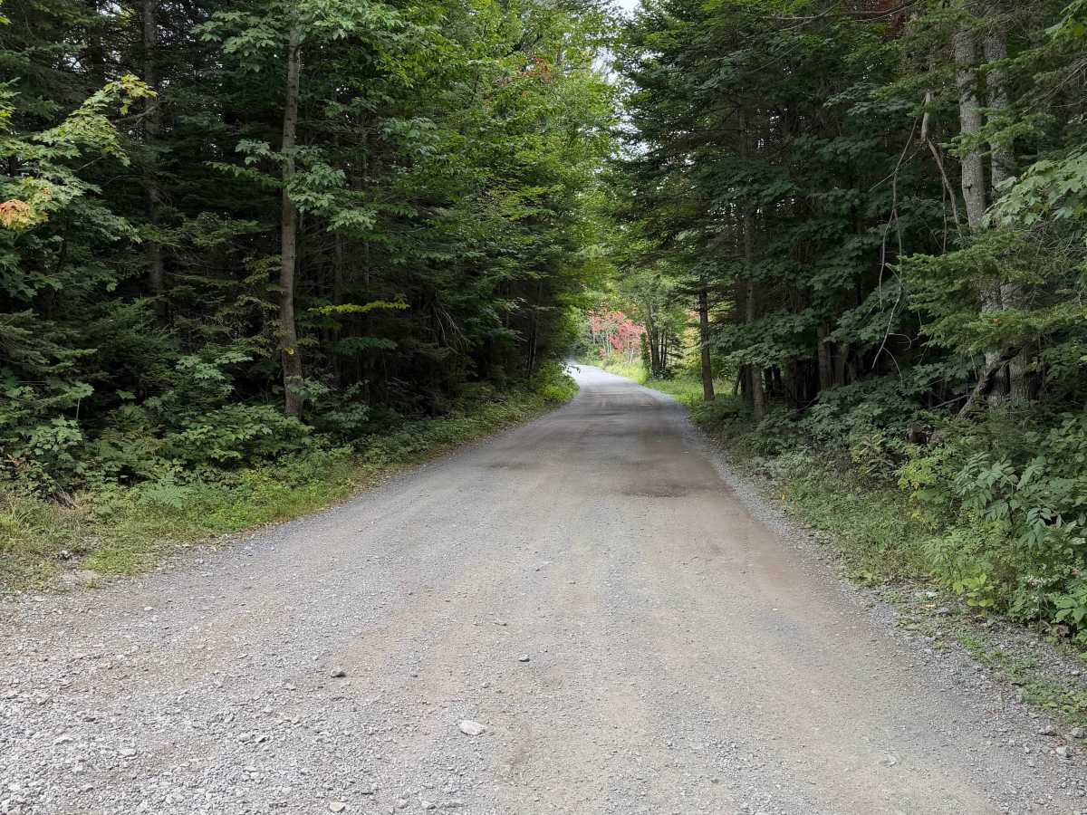
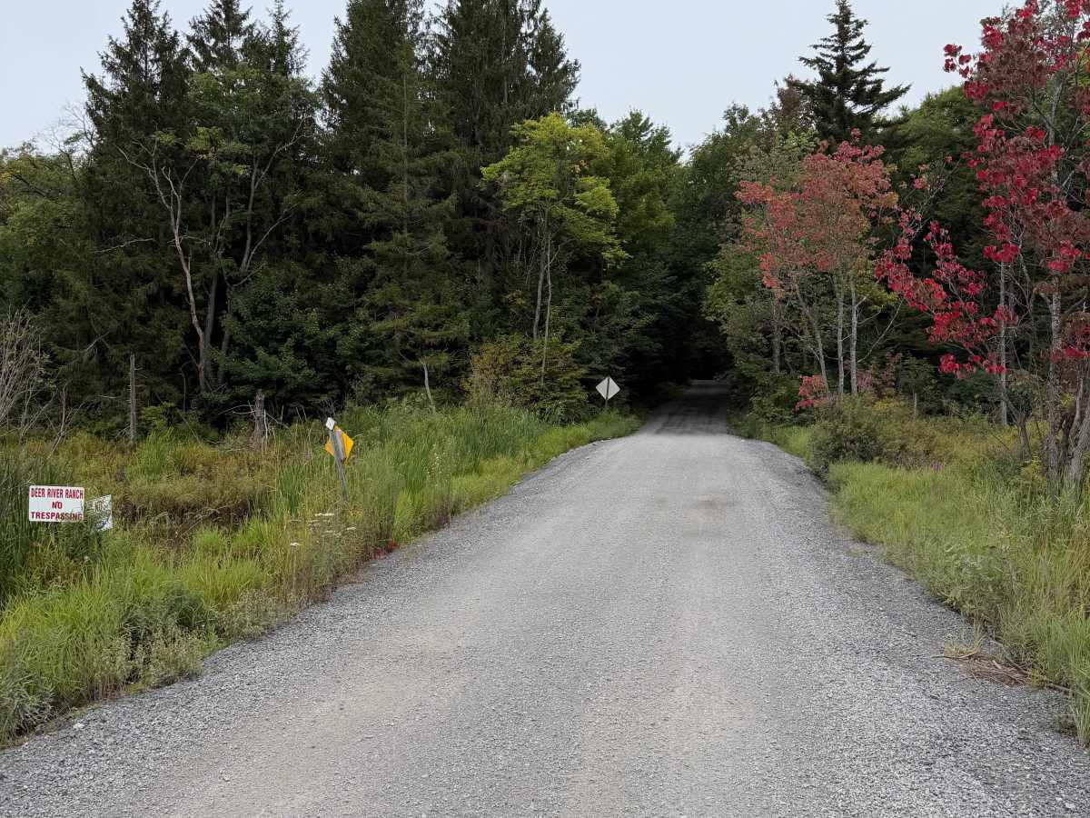
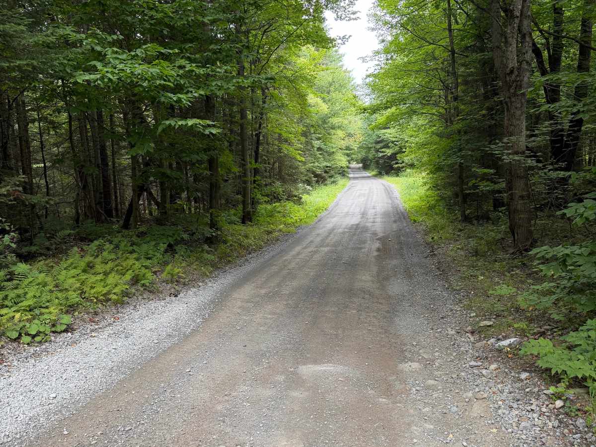
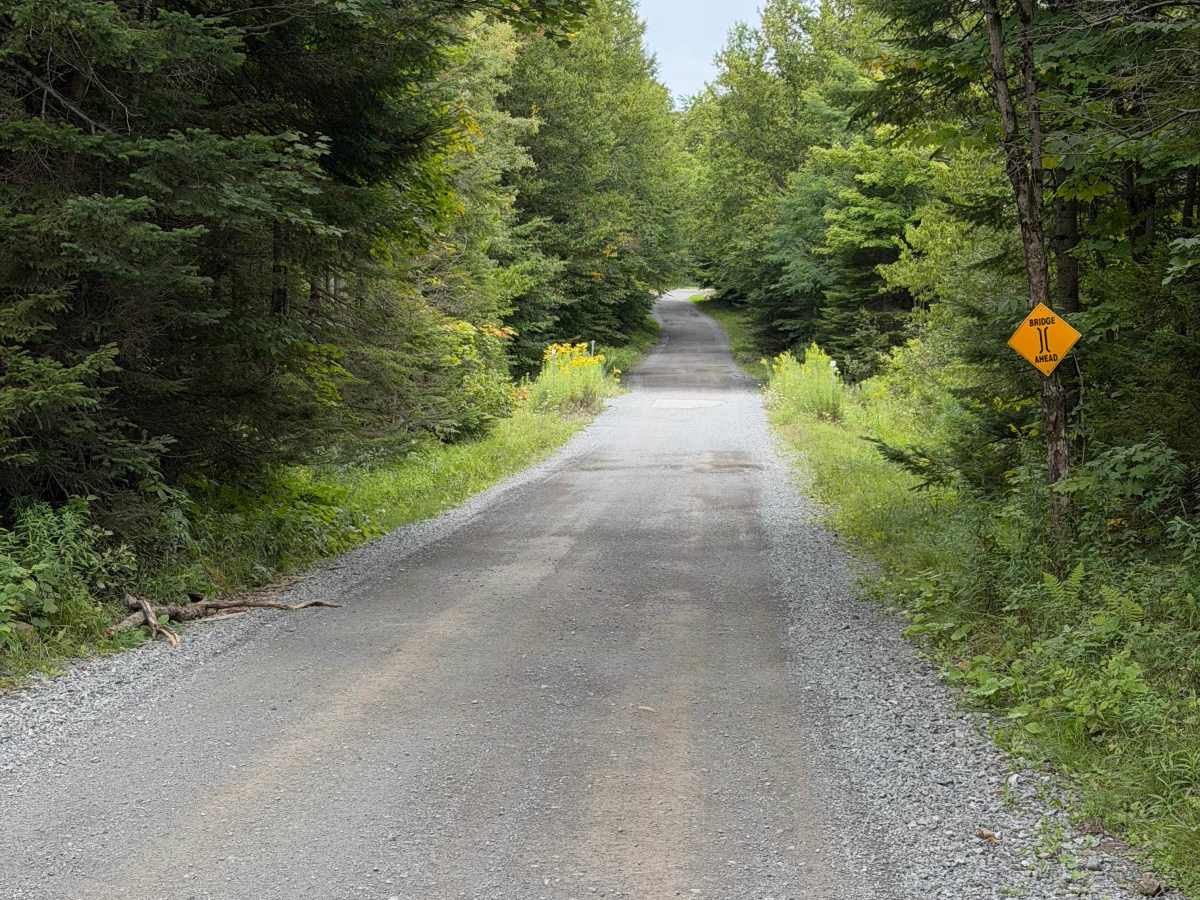
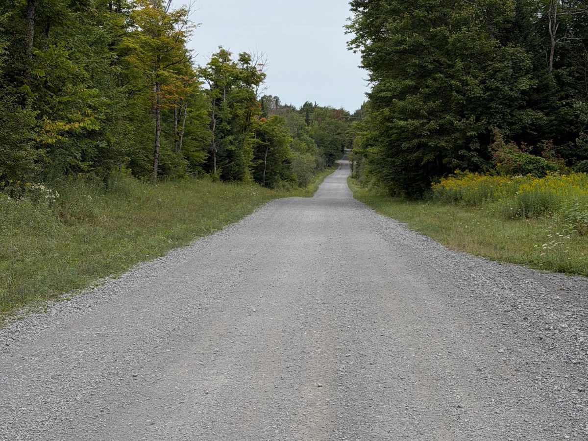
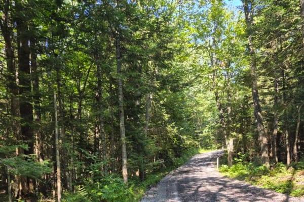
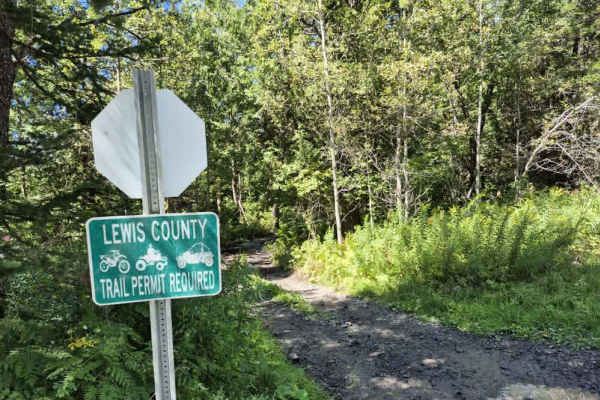
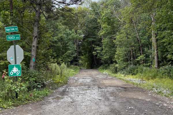
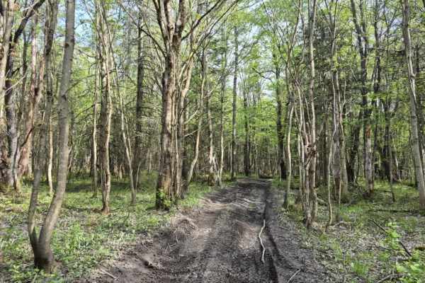
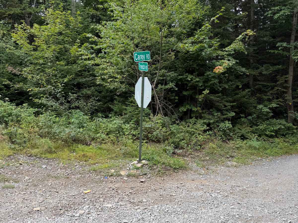
This route follows a maintained gravel road through mostly wooded terrain with a few open areas along the way. Travelers can expect a mix of packed gravel and loose stone terrain, gentle hills, and several curves. There is a narrow bridge located along the route, so use caution and watch for oncoming traffic when approaching and crossing. The route ends at the intersection of Carey Road and Flat Rock Road. This road is shared with other traffic. Stay alert for vehicles and ATVs, slow down around curves, and obey all posted signs and private-property markings. A Lewis County Permit is not required for this route.

Photos of Carey Road

Difficulty

An easy, well-maintained seasonal road for all skill levels.

Technical Rating

1

Carey Road Trail can be accessed by the following ride types:

  • Single Track
  • 50 Inch
  • 60 Inch
  • High Clearance
  • Full Width

Carey Road Map

The onX Offroad Difference

onX Offroad combines trail photos, descriptions, difficulty ratings, width restrictions, seasonality, and more in a user-friendly interface. Available on all devices, with offline access and full compatibility with CarPlay and Android Auto. Discover what you're missing today!

Open Trail Map