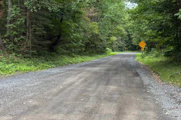
Rodgers Crossing Road

Total Miles0.7
Technical Rating
3Easy
Best TimeSpring, Summer, Fall
Trail TypeFull-Width Road
Accessible By
Open Trail Map

Trail Overview

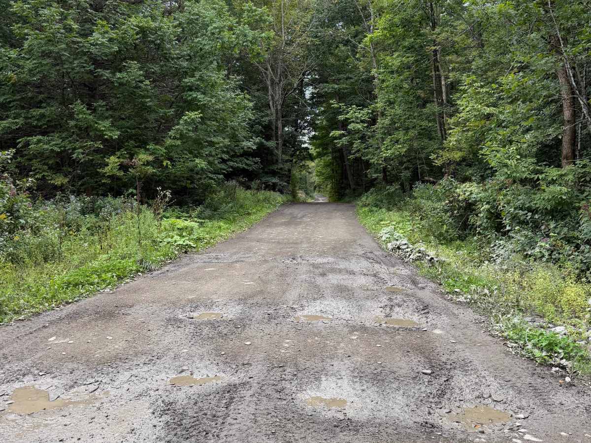
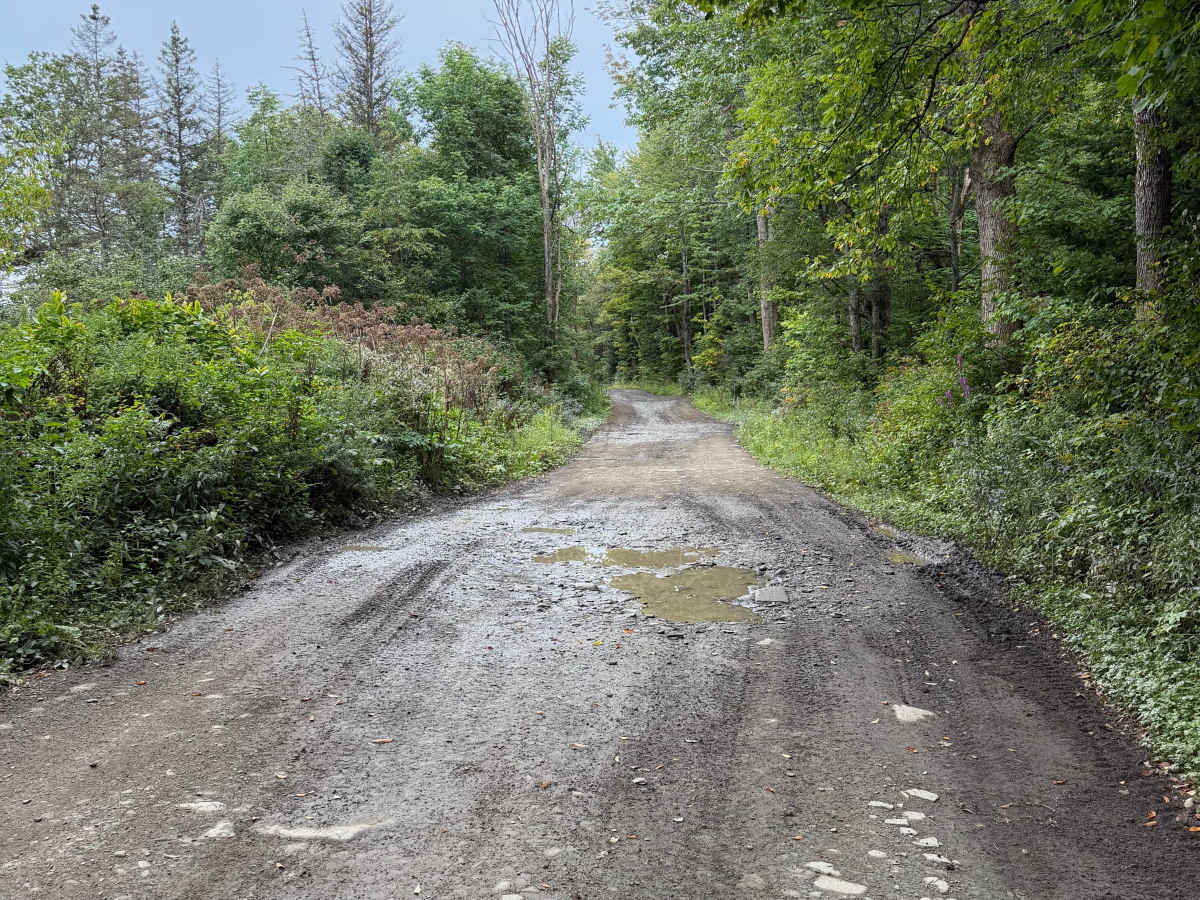
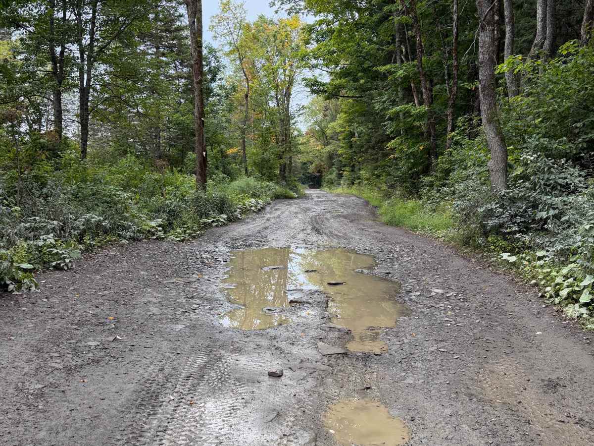
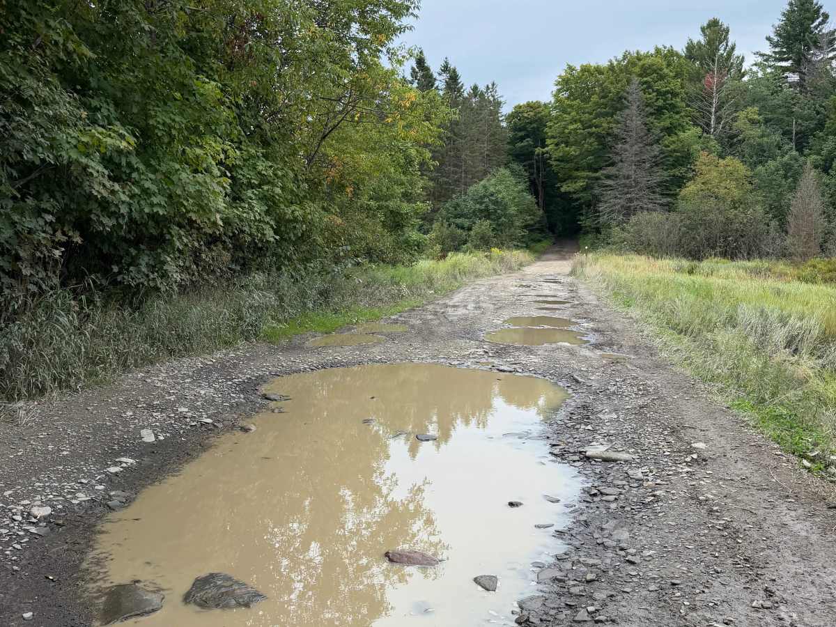
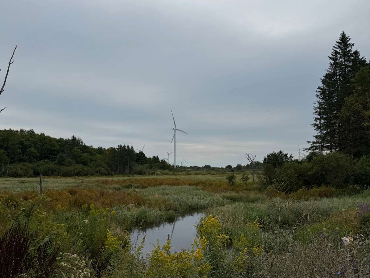
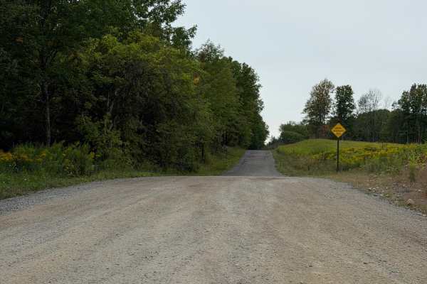
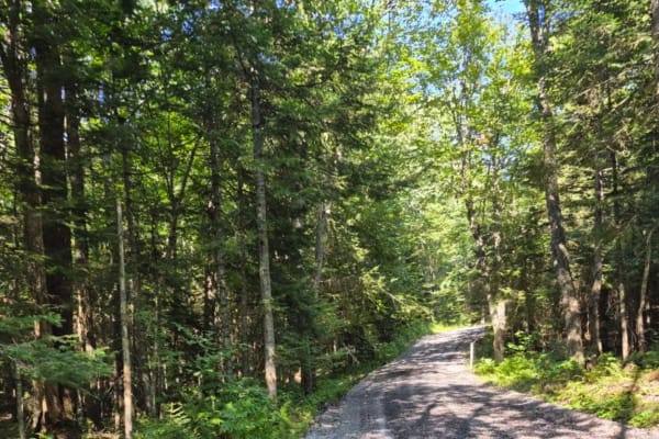
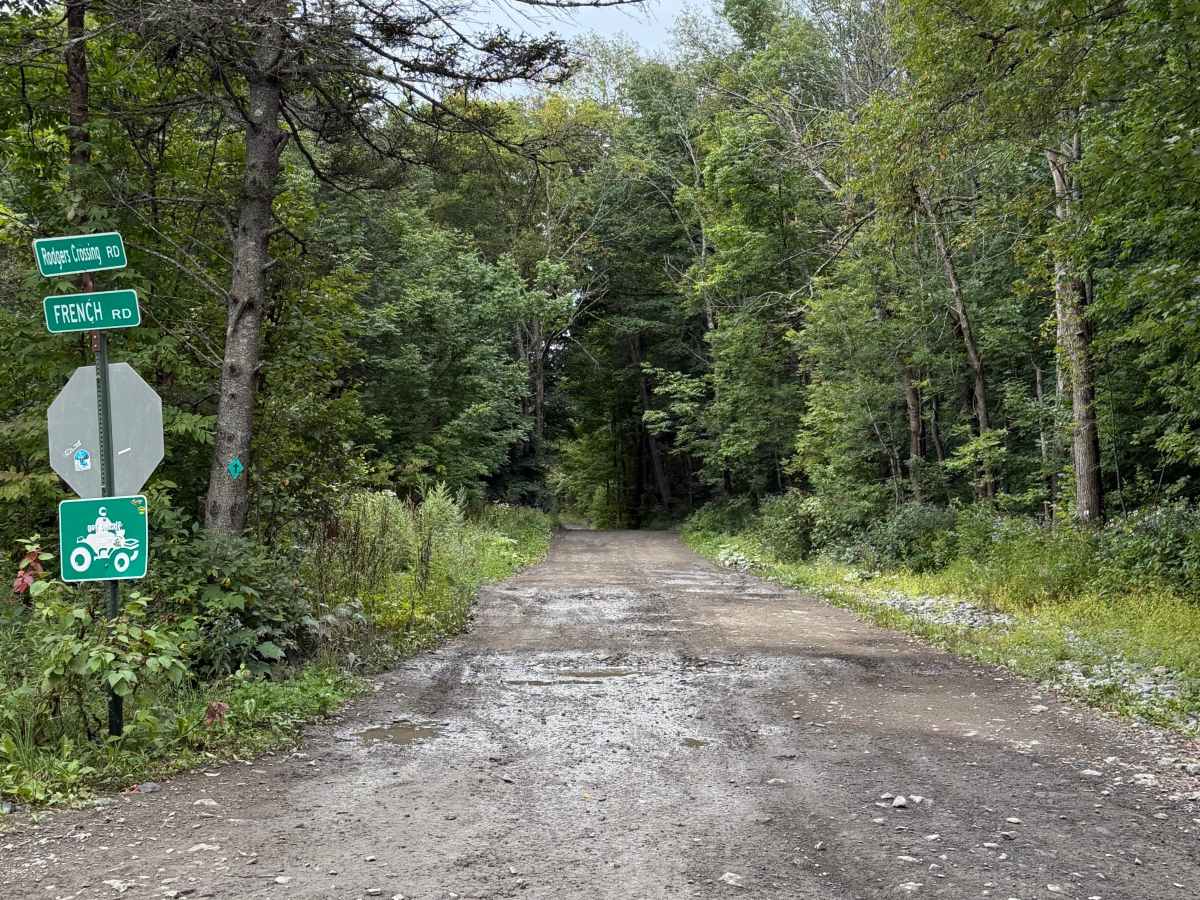
While traveling this seasonal road, you can expect a combination of dirt, gravel, embedded rock, shallow ruts, and numerous mud holes and areas of standing water. Conditions can become considerably wetter and muddier following rain. The route travels through mostly wooded terrain with some open wetland areas and views of nearby wind turbines. Many sections are rougher with exposed rocks, uneven surfaces, and larger water-filled holes, so use caution and choose your line carefully. Downed trees or other natural obstacles may also occasionally be encountered. A Lewis County Permit is not required along this route.

Photos of Rodgers Crossing Road

Difficulty

This is a more technical trail; travelers may need to choose a different line depending on the section of the trail they are on.

Technical Rating

3

Rodgers Crossing Road Trail can be accessed by the following ride types:

  • Single Track
  • 50 Inch
  • 60 Inch
  • High Clearance
  • Full Width

Rodgers Crossing Road Map

The onX Offroad Difference

onX Offroad combines trail photos, descriptions, difficulty ratings, width restrictions, seasonality, and more in a user-friendly interface. Available on all devices, with offline access and full compatibility with CarPlay and Android Auto. Discover what you're missing today!

Open Trail Map