Culpepper Road

Total Miles2.8
Technical Rating
1Easy
Best TimeSpring, Summer, Fall
Trail TypeFull-Width Road
Accessible By
Open Trail Map

Trail Overview

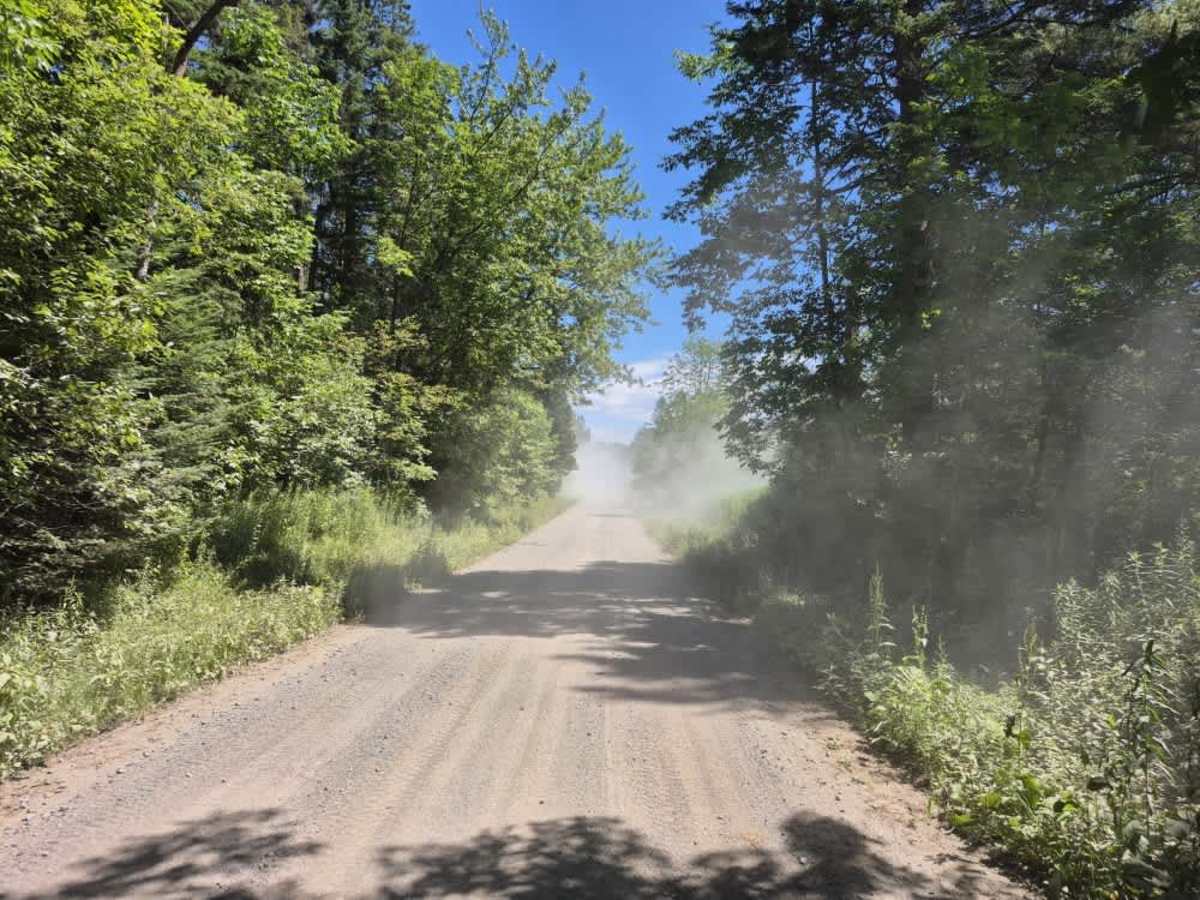
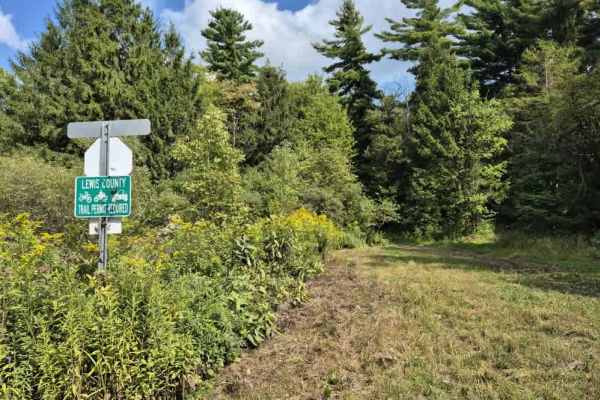
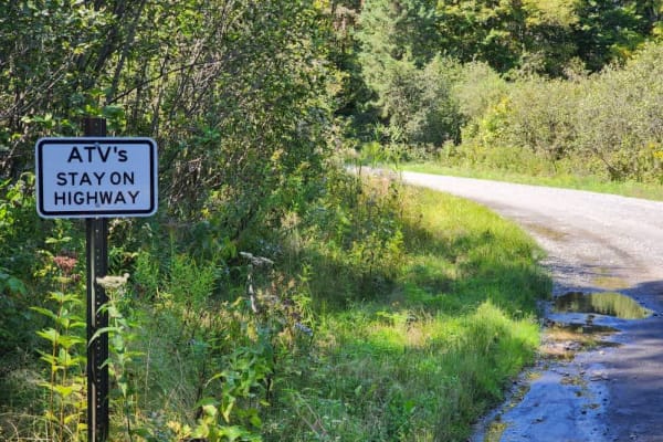
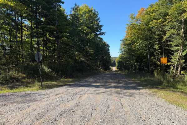
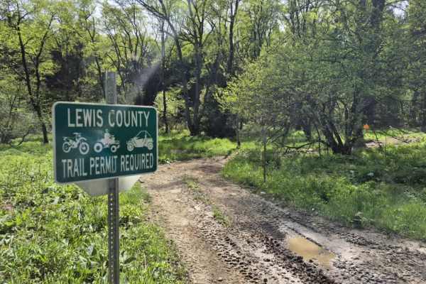
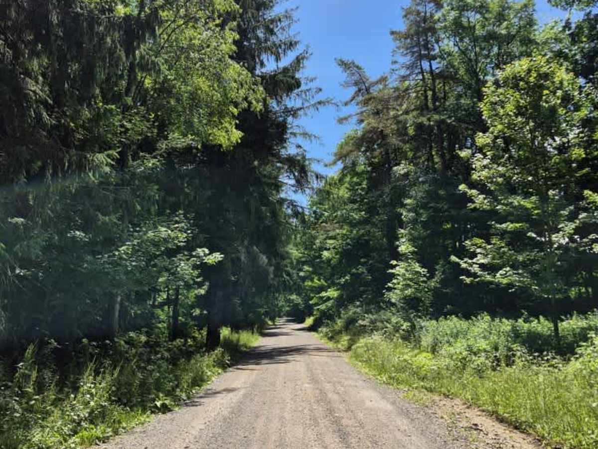
Culpepper Road serves as a connector between two primary ATV/SxS corridors and includes access to two Lewis County ATV systems. While a trail permit is not required for the road itself, one is mandatory to access the connected county systems. The road is legal for ATV/SxS use and offers plenty of space for oncoming traffic to pass. Trail conditions vary with the weather; expect dusty conditions in mid-summer, particularly when riding in groups.

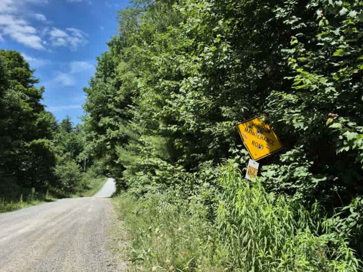
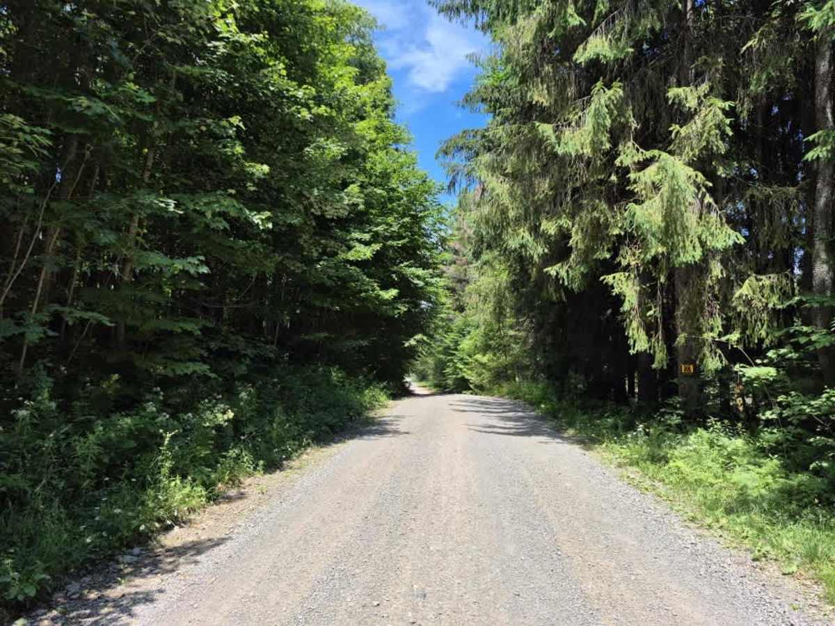
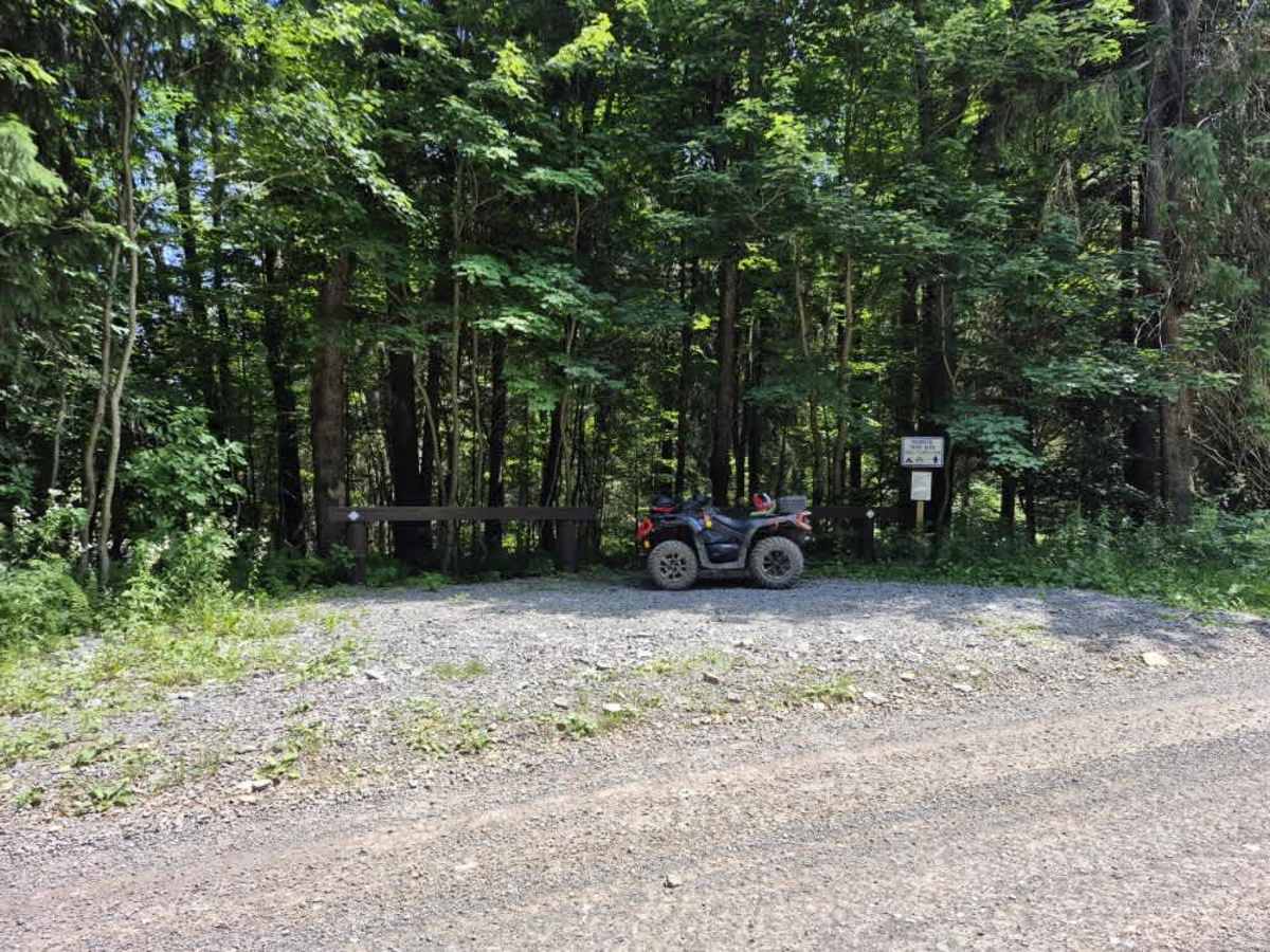
Photos of Culpepper Road

Difficulty

This is a well-maintained, smooth road with no notable obstacles. Please exercise caution, as this road is also utilized as an ATV/SxS trail and you should expect to encounter two-way powersports traffic.

Technical Rating

1

Culpepper Road Trail can be accessed by the following ride types:

  • 50 Inch
  • 60 Inch
  • High Clearance
  • Full Width

Culpepper Road Map

The onX Offroad Difference

onX Offroad combines trail photos, descriptions, difficulty ratings, width restrictions, seasonality, and more in a user-friendly interface. Available on all devices, with offline access and full compatibility with CarPlay and Android Auto. Discover what you're missing today!

Open Trail Map