Trail Overview
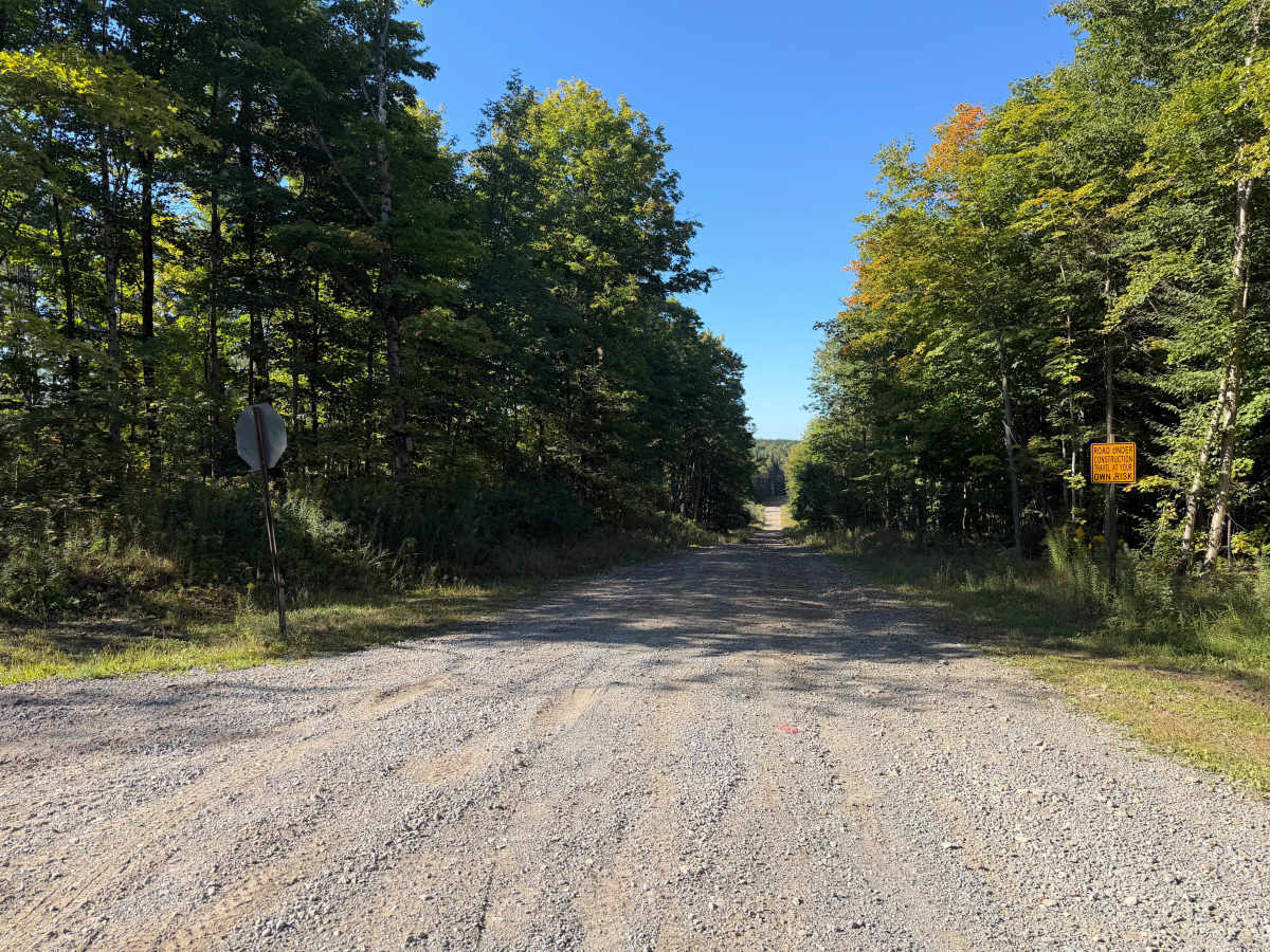
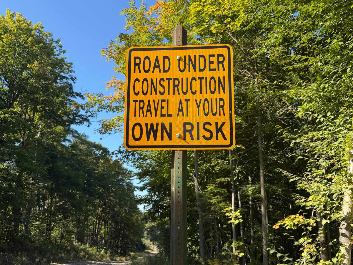
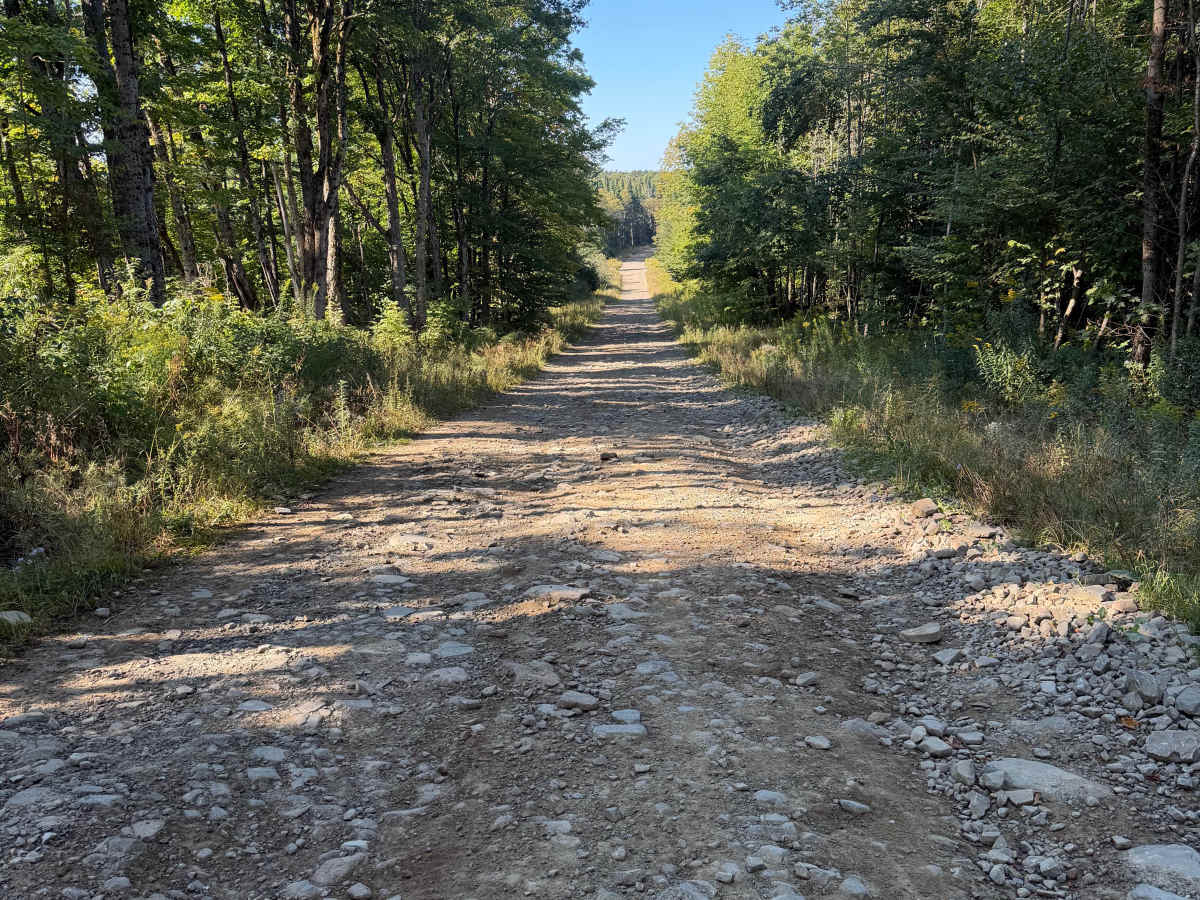
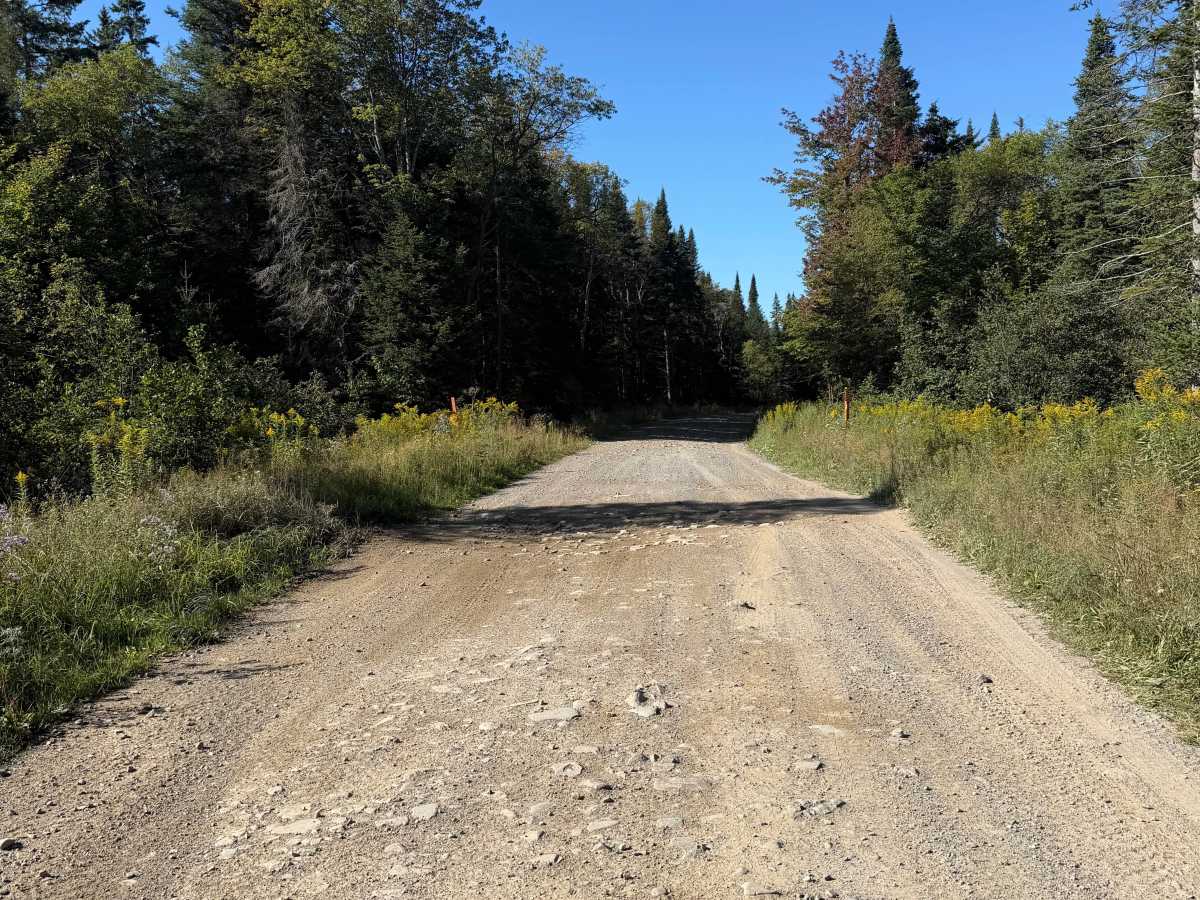
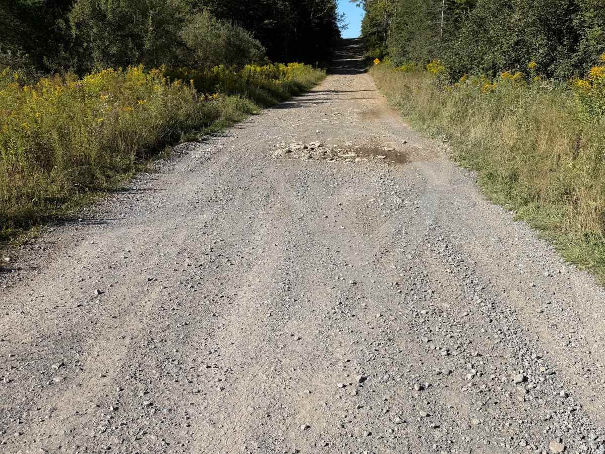
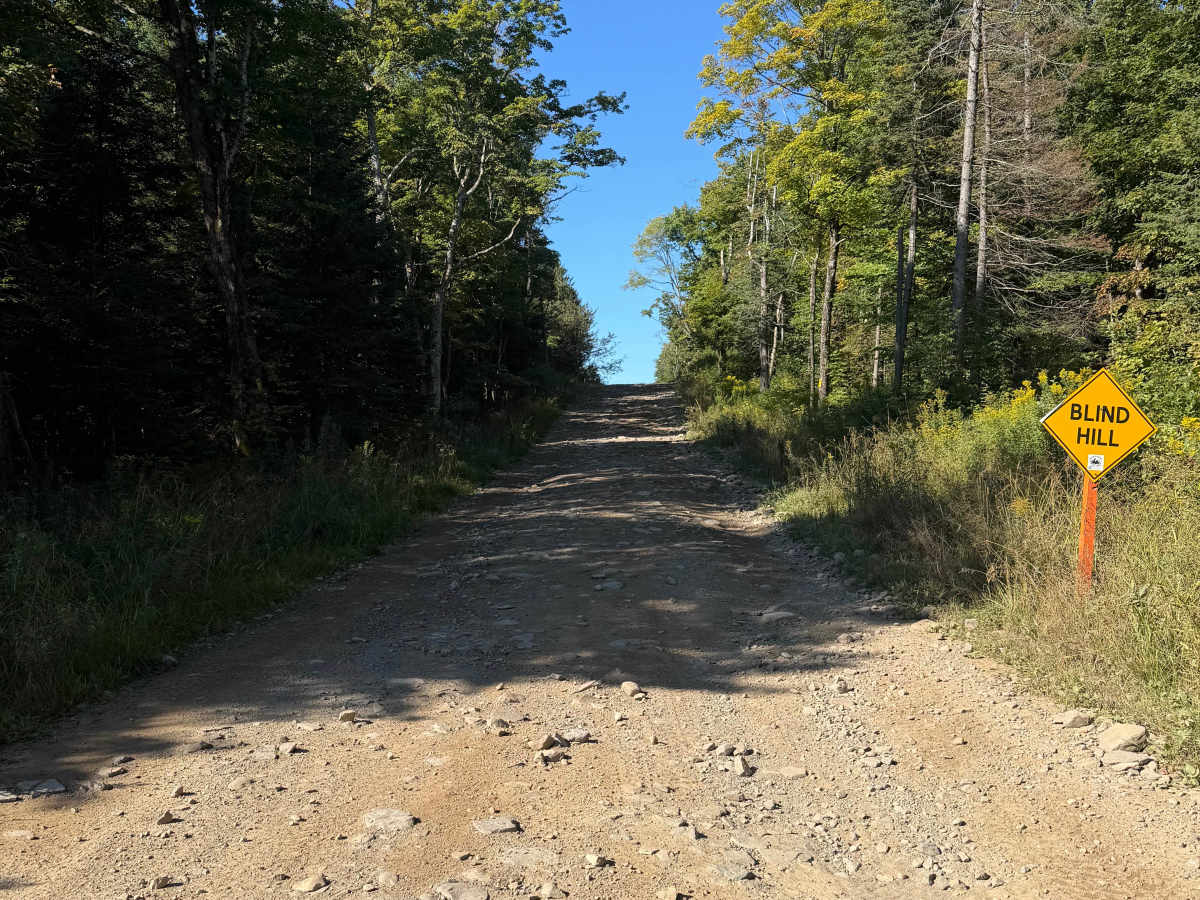
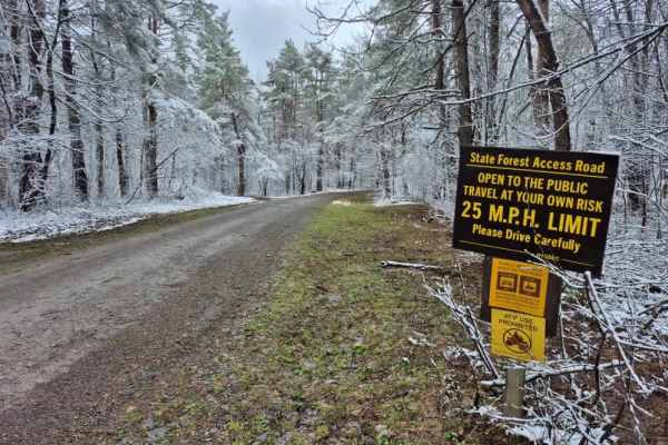
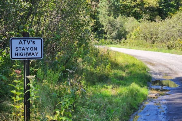
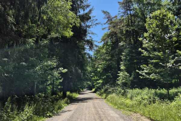
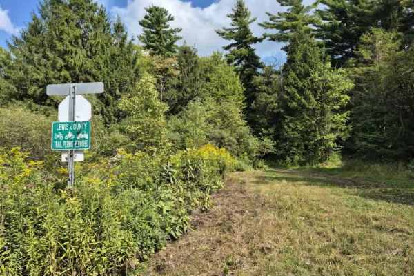
This seasonal road travels along a wide, wooded trail with a mix of maintained gravel, hard-packed dirt, loose stone, and several noticeably rocky sections. Travelers will encounter rolling hills and grades where exposed and embedded rocks create a rough, uneven surface and, at times, off-camber sections from erosion. Use caution when climbing or descending these areas, as traction and conditions may vary. This route is generally wide with good visibility, but several hills, curves, and intersections require additional caution. Warning signs are posted along the route, including blind hill, curve, and construction warnings. This is a travel-at-your-own-risk route. Stay to the right when approaching hills and curves and watch for oncoming ATV and vehicle traffic. A Lewis County Permit is not required to travel this route.
Difficulty
Overall, this is a moderately difficult route, primarily due to the rocky terrain, elevation changes, and several ascending and descending rocky hills. Some sections may also be off-camber. Conditions can become more challenging following heavy rain due to continued erosion of the trail surface. Because of the rough and uneven terrain, slower speeds and careful line selection may be necessary. Carrying tire and sidewall repair plugs is recommended when traveling this route due to the amount of exposed and loose rock. This route is not well suited for beginners.

 Offroad