
Beginner Off-Road Trails
Near Bulls Gap, Tennessee
Explore All Beginner Trails Near Bulls Gap, Tennessee
Beginner Off-Road Trails Near Bulls Gap, Tennessee
Discover the best beginner-friendly off-road trails near you. These easier, lower-rated trails are a great place to start — browse trail maps, check difficulty ratings, and find your next adventure.
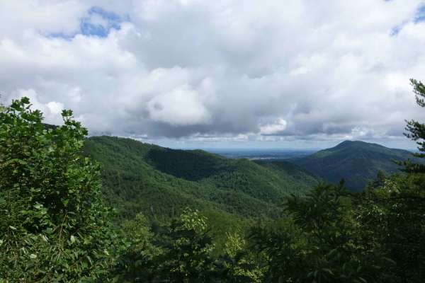
Big Clifty Road
Big Clifty is a mild introduction to the forest roads in the area. This seven-mile track climbs to the Meadow View Lookout Tower and is easily traversed by a 2WD vehicle. Cell service is available at the top. There are no camping spots on this road, but there are options close by. The tower is a gre...
Learn more about Big Clifty Road
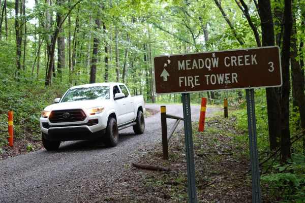
Meadow Creek Tower Road
Meadow Creek Tower Road is a scenic, beginner-friendly route in the Cherokee National Forest that leads to the beautifully renovated Meadow Creek Mountain Lookout Tower, offering panoramic 360-degree views of the surrounding mountains. Spanning approximately 2.3 miles, this short trail is ideal for ...
Learn more about Meadow Creek Tower Road
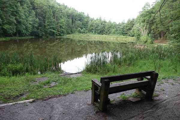
Brush Creek Road
Brush Creek starts out as a narrow paved road, but once it meets the western end of Weaver's Bend it transitions to gravel. This is a beautiful drive and the namesake creek parallels the road for the northern half of the route. As the road turns away from the creek it quickly ascends to the upper re...
Learn more about Brush Creek Road
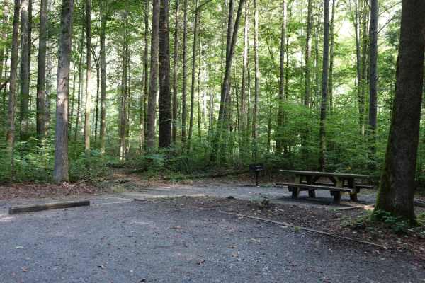
Paint Mountain Road
Paint Mountain is a great way to connect Hurricane Gap to the east, with some of the other roads and trails west of this area. It's 1 to 1.5 cars wide and outside of a few rough sections, the gravel is well maintained. At the southern terminus, you'll find the Chimney Rocks trailhead and French Broa...
Learn more about Paint Mountain Road
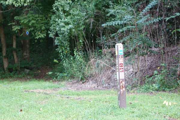
Weaver Bend
Weaver Bend Road runs from its intersection with Brush Creek to the French Broad River. It transitions from gravel to dirt. Along the road, there are several marked campsites, including several riverside. At its namesake Weaver's Bend, you'll find a large campsite that accommodates six to eight truc...
Learn more about Weaver Bend
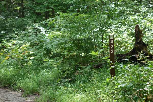
Hurricane Gap
Hurricane Gap is an easy, scenic 9.8-mile point-to-point gravel route perfect for beginners, families, and high-clearance two-wheel-drive or four-wheel-drive vehicles seeking a relaxing drive through the national forest. Traveling between the Houston Valley area and Hot Springs, North Carolina, the ...
Learn more about Hurricane Gap
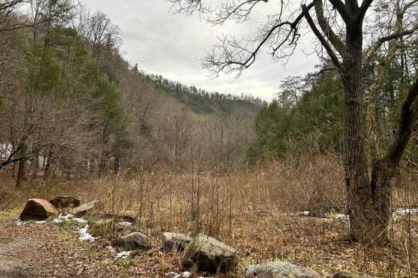
Paint Pond Trail
This is a short out-and-back trail with multiple primitive campsites and fire rings. The campsite on the south end has room for multiple vehicles with rooftop tents and plenty of room for ground tents with three fire rings. The three campsites on the north end of the trail are large enough for two v...
Learn more about Paint Pond Trail
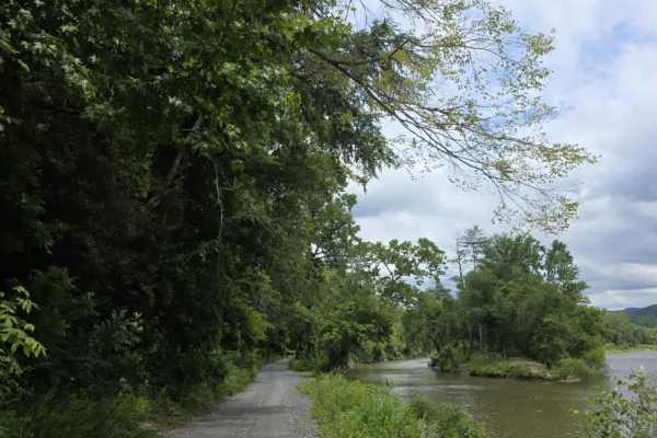
River Road
River Road is an easy, well-maintained gravel route that offers a relaxing drive through the scenic countryside. The graded gravel surface is smooth and predictable, making it suitable for a wide variety of vehicles under normal conditions. The road varies from single-lane sections to wider double-l...
Learn more about River Road

Green Mountain Road
This is a windy gravel mountain road. It winds along the edge of the mountain with mild elevation changes. Beautiful drive with a couple of good spots to catch a view, although there are no official lookouts. The road is well-maintained and makes a great "Sunday drive". The view is very pretty in th...
Learn more about Green Mountain Road
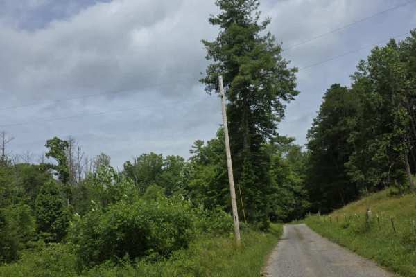
Pilgrim Lane
Pilgrim Lane is a moderately easy trail that begins as a maintained gravel road before transitioning to dirt upon entering Cherokee National Forest. From that point forward, the trail becomes more primitive, with several mud holes that collect rainwater and can become deeper or softer following wet ...
Learn more about Pilgrim Lane
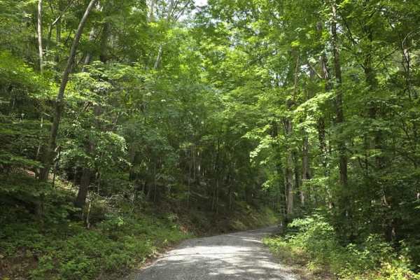
Polecat Hollar
Polecat Hollar is an easy, well-maintained gravel trail that offers a relaxed drive through a forested setting. The route is primarily a single-lane road with numerous pull-off areas, allowing vehicles to pass comfortably when needed. The gravel surface is consistent throughout, making for a predict...
Learn more about Polecat Hollar
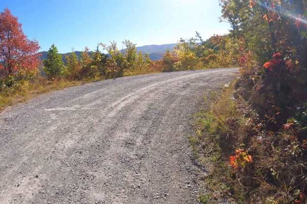
Round Knob Road - FS88
This is a 4.2-mile out-and-back single-lane forest service road on the Tennessee side of the Cherokee National Forest, southeast of Greeneville, Tennessee, leading up to the Bald Mountains region. It is accessed from Greeneville, TN via Greystone Road and eventually turns into Round Knob Road. The r...
Learn more about Round Knob Road - FS88
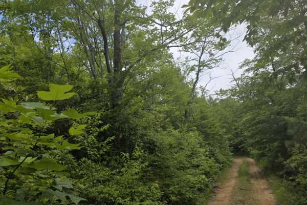
Kennedy Cabin
Kennedy Cabin is a moderately easy out-and-back dirt trail accessed from Firescald Trail. The route follows a single-lane corridor with few opportunities to turn around before reaching the end, making it important to be aware of trail traffic before committing. The surface is a mix of dirt and scatt...
Learn more about Kennedy Cabin
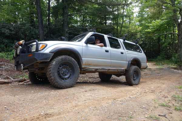
Hall Top Road
Hall Top climbs 1,500 feet over the five-mile route from the rhododendron shaded valley to the rocky peak above. The majority of the route is maintained, but some of the steeper sections are rocky and require a driver to slow down a bit or endure the bumpy ride. At the top, you'll find a fire tower ...
Learn more about Hall Top Road
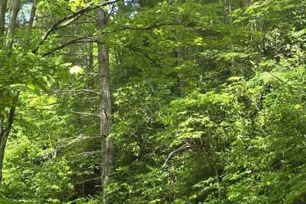
Firescald
Firescald is a moderately easy out-and-back dirt trail accessed from Viking Mountain Road that offers a more rugged forest driving experience. The route remains primarily single-lane with very few pull-off areas, so drivers should be prepared to encounter limited passing opportunities. The surface c...
Learn more about Firescald
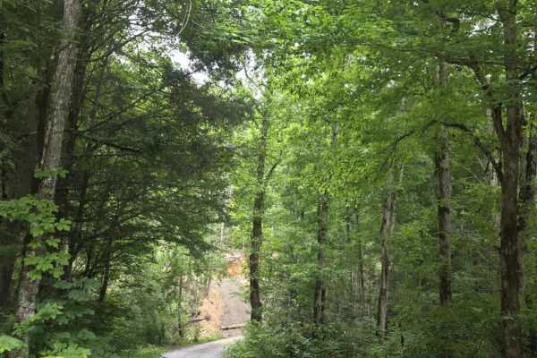
Fed Fork
Fed Fork is a very easy, graded gravel trail that provides a relaxed out-and-back drive through a quiet forest setting. The surface is well maintained with gentle grades and consistent traction, making it an excellent choice for drivers of all experience levels. The route is straightforward from beg...
Learn more about Fed Fork
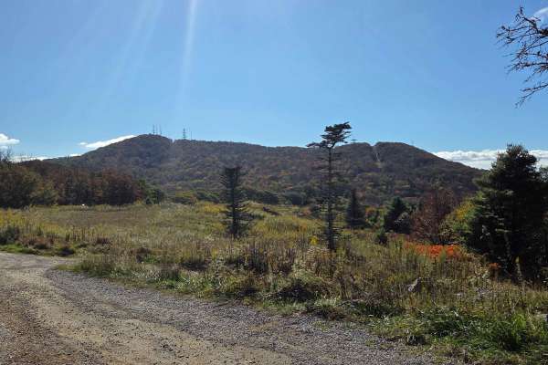
Viking Mountain Road
Turning to gravel 5 miles in, Viking Mountain Road is a 3.5-mile out-and-back single-lane forest service road on the Tennessee side of the Cherokee National Forest, southeast of Greeneville, Tennessee, leading up to the Bald Mountains region. On pavement, it is accessed from Greeneville, Tennessee v...
Learn more about Viking Mountain Road
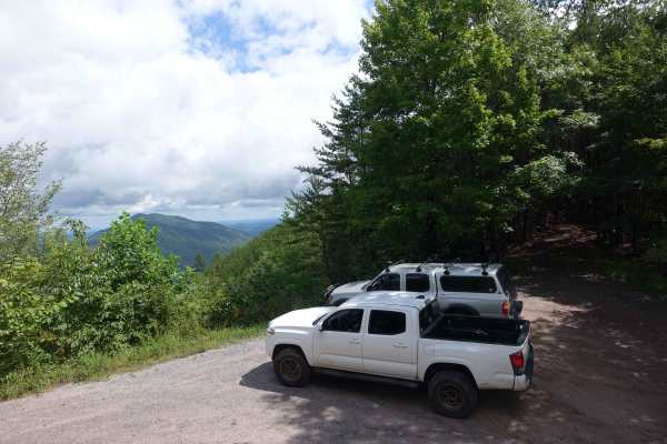
Hall Top Spur
The Hall Top Spur allows access to the Hall Top Fire Tower, Big Fill Road, and Rocky Top Road from the eastern border of this section of Cherokee National Forest. The road climbs steeply from the valley and gains 500 feet of elevation in just a few miles. The lower sections have recently been rework...
Learn more about Hall Top Spur
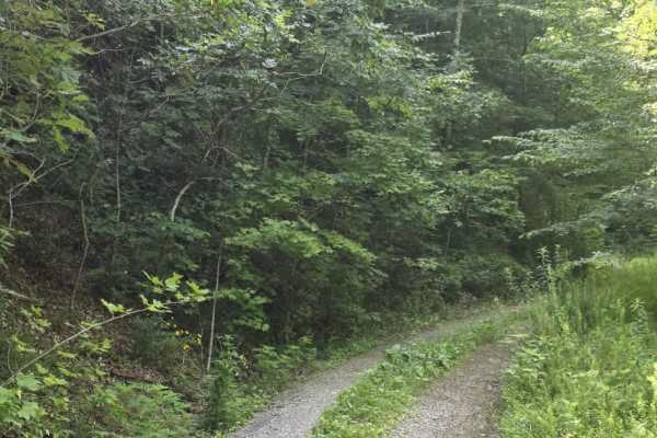
Fed Fork Spur
Fed Fork Spur is an easy out-and-back route that shifts between gravel and two-track dirt as it runs along the Tennessee–North Carolina border. The trail begins on a straightforward gravel surface before transitioning to dirt, then alternates between the two as you travel farther in. The terrain rem...
Learn more about Fed Fork Spur
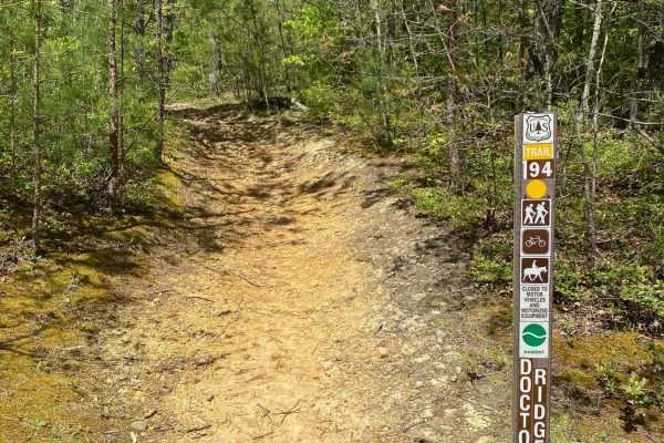
Jennings Creek Road
Jennings Creek Road travels along the border of Cherokee National Forest between the Horse Creek Recreation Area and the Old Forge NF Campground. The campground has walk-in sites with a parking lot only 10 to 25 yards from most of the sites. Pit toilets are also available at the campground. The road...
Learn more about Jennings Creek Road
Beginner ATV trails near Bulls Gap, Tennessee
Explore ATV-friendly trails near you. These trails are accessible for vehicles up to 50 inches wide, perfect for ATVs and smaller off-road machines.
Paint Pond Trail
This is a short out-and-back trail with multiple primitive campsites and fire rings. The campsite on the south end has room for multiple vehicles with rooftop tents and plenty of room for ground tents with three fire rings. The three campsites on the north end of the trail are large enough for two v...
Learn more about Paint Pond Trail
Green Mountain Road
This is a windy gravel mountain road. It winds along the edge of the mountain with mild elevation changes. Beautiful drive with a couple of good spots to catch a view, although there are no official lookouts. The road is well-maintained and makes a great "Sunday drive". The view is very pretty in th...
Learn more about Green Mountain Road
Viking Mountain Road
Turning to gravel 5 miles in, Viking Mountain Road is a 3.5-mile out-and-back single-lane forest service road on the Tennessee side of the Cherokee National Forest, southeast of Greeneville, Tennessee, leading up to the Bald Mountains region. On pavement, it is accessed from Greeneville, Tennessee v...
Learn more about Viking Mountain Road
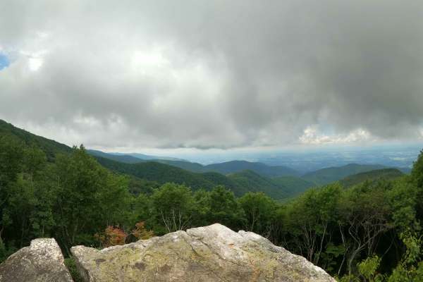
Horse Creek
Horse Creek - FS 94 received significant maintenance in July 2026. Multiple portions of the trail were widened and graded, smoothing the previously rocky terrain. This has reduced the trail difficulty as well as the time to complete it. Given how new several of these sections are, the clay is uncomp...
Learn more about Horse Creek
Beginner UTV/side-by-side trails near Bulls Gap, Tennessee
Find UTV and side-by-side trails near you. These trails accommodate vehicles up to 60 inches wide, ideal for UTVs, side-by-sides, and wider off-road rigs.
Paint Pond Trail
This is a short out-and-back trail with multiple primitive campsites and fire rings. The campsite on the south end has room for multiple vehicles with rooftop tents and plenty of room for ground tents with three fire rings. The three campsites on the north end of the trail are large enough for two v...
Learn more about Paint Pond Trail
Green Mountain Road
This is a windy gravel mountain road. It winds along the edge of the mountain with mild elevation changes. Beautiful drive with a couple of good spots to catch a view, although there are no official lookouts. The road is well-maintained and makes a great "Sunday drive". The view is very pretty in th...
Learn more about Green Mountain Road
Viking Mountain Road
Turning to gravel 5 miles in, Viking Mountain Road is a 3.5-mile out-and-back single-lane forest service road on the Tennessee side of the Cherokee National Forest, southeast of Greeneville, Tennessee, leading up to the Bald Mountains region. On pavement, it is accessed from Greeneville, Tennessee v...
Learn more about Viking Mountain Road
Horse Creek
Horse Creek - FS 94 received significant maintenance in July 2026. Multiple portions of the trail were widened and graded, smoothing the previously rocky terrain. This has reduced the trail difficulty as well as the time to complete it. Given how new several of these sections are, the clay is uncomp...
Learn more about Horse Creek
The onX Offroad Difference
onX Offroad combines trail photos, descriptions, difficulty ratings, width restrictions, seasonality, and more in a user-friendly interface. Available on all devices, with offline access and full compatibility with CarPlay and Android Auto. Discover what you're missing today!
Open Trail Map