
Beginner Off-Road Trails
Near Brinnon, Washington
Explore All Beginner Trails Near Brinnon, Washington
Beginner Off-Road Trails Near Brinnon, Washington
Discover the best beginner-friendly off-road trails near you. These easier, lower-rated trails are a great place to start — browse trail maps, check difficulty ratings, and find your next adventure.
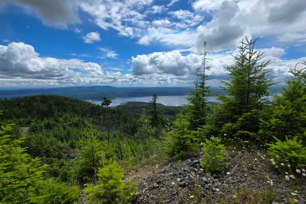
McDonald Creek
Rocky route featuring a few heavy washouts, a couple of switchbacks, and some steep 10% grade sections. High clearance is a strict requirement to safely navigate the eroded sections. Your efforts will be rewarded with a few excellent campsites offering spectacular, sweeping views of Hood Canal and t...
Learn more about McDonald Creek
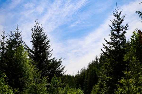
Fulton Creek Road to Murhut Falls
This is a nice dirt/gravel road that eventually leads to Murhut Falls Trailhead. Once you've hiked up to the falls you can come back the same way or take Duckabush Collins CG road back to 101. This is a narrow trail that is not maintained and has a few washouts to navigate. One of which is on a hair...
Learn more about Fulton Creek Road to Murhut Falls
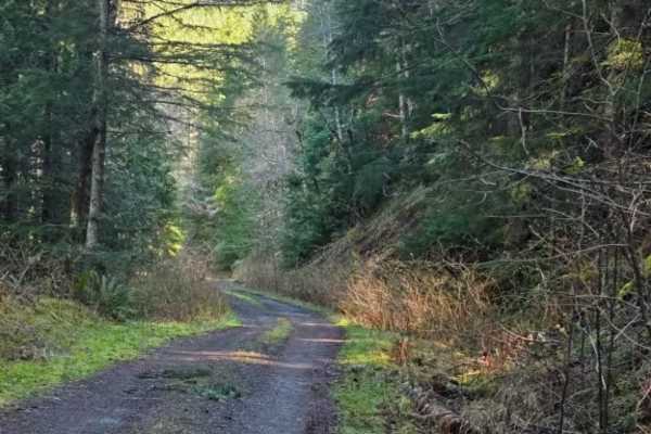
FS 2630
This single-lane offroad trail branches off Rocky Brook Road and winds through dense forest with some hairpin turns and dramatic shelf road sections. Expect a mix of forested canopy driving and exposed shelf sections where the road clings to the hillside. Some areas show signs of recent rock movemen...
Learn more about FS 2630
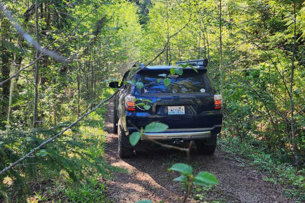
Jackson Creek Comm Bypass
Embark on an off-road adventure on the beautiful Jackson Creek Comm Bypass off Rocky Brook Road. This route features a single lane with multiple pullout spots--some are perfect for camping. The road is heavily canopied, with the northern section slightly overgrown in places, providing a challenge fo...
Learn more about Jackson Creek Comm Bypass
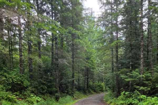
Spencer Creek
An easy, stock-friendly gravel route branching off Frenchman Point and Buckhorn Road. This trail features numerous side spurs to explore beneath the power lines, alongside stunning panoramic views of Dabob Bay. With plenty of spacious pull-offs, it’s an ideal spot to park for a scenic lunch or set u...
Learn more about Spencer Creek
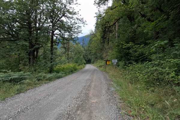
Dosewallips Road - FS 2610
Dosewallips Road - FS 2610 is a 4.0-mile out-and-back route that follows the Dosewallips River on a wide, well-maintained gravel road. The drive provides access to several river access points and scenic views before ending at the Dosewallips Road Trailhead parking area. The road was permanently clos...
Learn more about Dosewallips Road - FS 2610
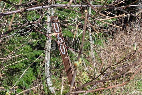
Buck Mountain Ridge Rd - FS 2060060
Single-lane route off Rocky Brook Rd on the ridge of Buck Mountain. Features a couple rock slide areas, pullouts, easy incline and nice northwest views toward Quilcene. Ends in 2.66 miles at a small camp/lunch spot with distant views of Mount Baker on clear days. Stock rig friendly with Verizon cell...
Learn more about Buck Mountain Ridge Rd - FS 2060060
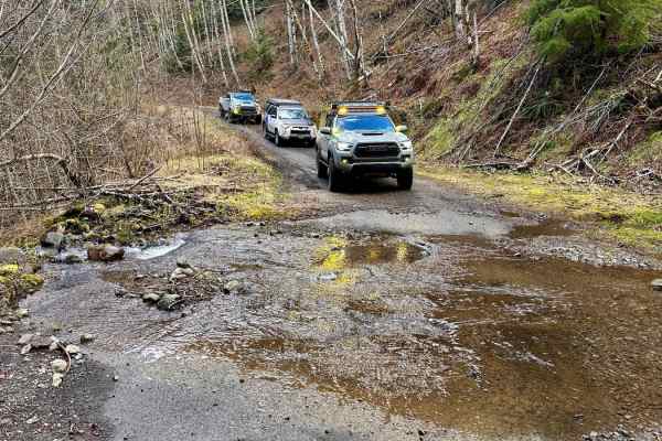
Rocky Brook Road
Rocky Brook Road starts on the 101 and will loop you back to the 101 via Dosewallips Road to the town of Brinnon. This road has some nice pull-over camp spots along the route and plenty of small waterfalls coming from the hillside. At the 2.2-mile mark, there is a water crossing known as the "Mile a...
Learn more about Rocky Brook Road
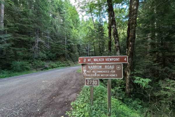
Mount Walker Trail - FS 2730
Mount Walker Trail is a 4.0-mile out-and-back route that climbs to one of the most scenic viewpoints on the Olympic Peninsula. The single-lane gravel road winds up the mountainside through dense forest before reaching the Mount Walker overlook, which offers sweeping views of Hood Canal, the Cascade ...
Learn more about Mount Walker Trail - FS 2730
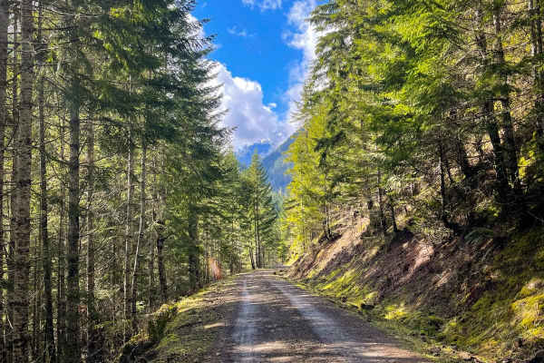
Tunnel Creek Trail
Tunnel Creek Trail can be found approximately 15 minutes from Quilcene, Washington. This trail is one of many in the area that offers gorgeous views of the Quilcene Mountain Range. This trail is compact gravel/ dirt with occasional rocks scattered across the road due to previous landslides (which ca...
Learn more about Tunnel Creek Trail
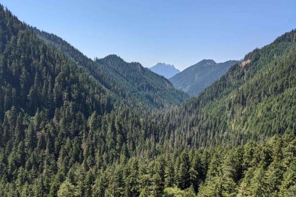
Hamma Hamma Trail with View of The Brothers
This is a non-technical drive through the forest up to a viewpoint overlooking the valley and The Brothers. Viewpoint has space for about 5 rigs to pull over and take a lunch break. There a numerous drainage channels dug diagonally into the trail, which is about the most challenging part of this tra...
Learn more about Hamma Hamma Trail with View of The Brothers
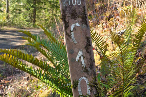
Big Quil Dam Road
This wide, well-maintained gravel road winds downhill through dense evergreen forest, offering frequent open views of the Quilcene River below. It is suitable for all vehicles, with occasional loose gravel and gentle switchbacks, and ends at a spacious turnaround just before a private dam; please re...
Learn more about Big Quil Dam Road
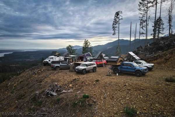
Hamma Hamma lookout #1 (251000)
This is a section of the 2510000 trail to the first big lookout/camp area. The primary trail is gravel and dirt based. There are some occasional potholes but primarily just dirt and loose gravel. Once you take the left turn to go to the lookout, you will proceed on a steady elevation incline. This t...
Learn more about Hamma Hamma lookout #1 (251000)
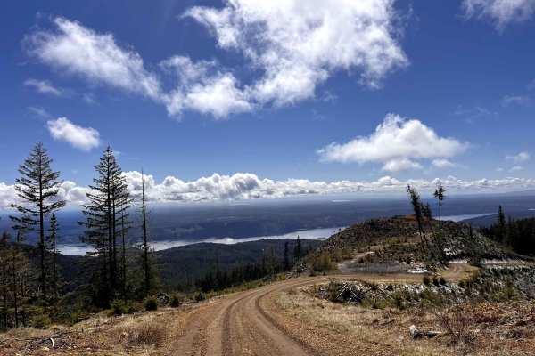
Olympic Heights
This trail is located just off Highway 101. It’s an easy in-and-out route with some bumpy rocks and ruts along the way, nothing most 2WD vehicles can’t handle. There’s a slight incline near the end as you head up to the top, where you’ll hit a gate. Even though it doesn’t go through, the views up th...
Learn more about Olympic Heights
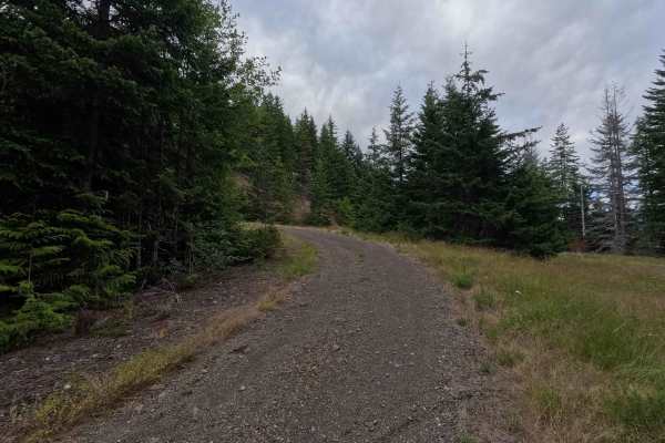
FS 2740070
FS 2740070 is a 3.8-mile out-and-back route that branches off the main Forest Service road and travels through dense forest on a narrow gravel surface. The route is characterized by frequent water bars, many with sharp entrances and exits that require drivers to slow down. A grassy center strip beco...
Learn more about FS 2740070

Overlook of Seattle Campsite
This trail is hardly a trail but more of some backwoods exploring through an old logging and quarry site. The best part of this loop is the campsite; it is well worth the short trek. Due note the trail is a skinny one-lane road up, so say goodbye to that scratch-less paint job you are rocking, and h...
Learn more about Overlook of Seattle Campsite
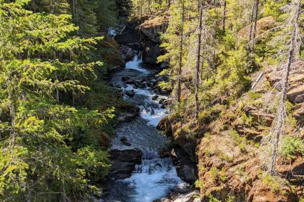
Hamma Hamma Falls
Drive through the forest on a pavement/dirt road to Hamma Hamma Falls. You can take a walk down to the water and see the falls from up close. At the parking lot also is a hiking trailhead. Any vehicle should be able to do this, but there are numerous potholes on the way.
Learn more about Hamma Hamma Falls

Upper Big Quilcene Trail
5 miles of decently maintained tree-lined dirt and gravel trails wind their way up gradually with peekaboo territorial views of the surrounding mountains and valleys below. On a clear bluebird day, the 3 Brother mountain peaks are clearly visible. Sections of the trail are heavily potholed, so be aw...
Learn more about Upper Big Quilcene Trail
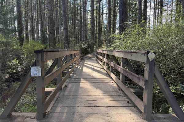
Overland Trail East
NOTE: Tahuya ORV Park Trails are two-way trails and have several blind corners. Keep your eyes up! There are also several single-track trails that spur off the edge to keep an eye out for crossing traffic. This section of the trail starts on Sandhills Road and ends on Sandhills Road. This is the Eas...
Learn more about Overland Trail East
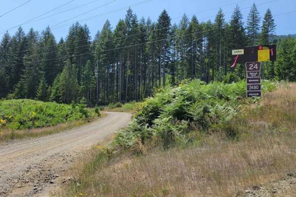
NF 24 - Jorsted Creek
This is a main trail that connects to several other trails in the area, as well as connects to Lilliwaup Creek Campground, Big Creek Campground, and Big Creek Trailhead. Because of this it is a maintained road that is safe for 2WD vehicles. Typical washboarded sections will be encountered. Towards t...
Learn more about NF 24 - Jorsted Creek
Beginner ATV trails near Brinnon, Washington
Explore ATV-friendly trails near you. These trails are accessible for vehicles up to 50 inches wide, perfect for ATVs and smaller off-road machines.
FS 2630
This single-lane offroad trail branches off Rocky Brook Road and winds through dense forest with some hairpin turns and dramatic shelf road sections. Expect a mix of forested canopy driving and exposed shelf sections where the road clings to the hillside. Some areas show signs of recent rock movemen...
Learn more about FS 2630
Jackson Creek Comm Bypass
Embark on an off-road adventure on the beautiful Jackson Creek Comm Bypass off Rocky Brook Road. This route features a single lane with multiple pullout spots--some are perfect for camping. The road is heavily canopied, with the northern section slightly overgrown in places, providing a challenge fo...
Learn more about Jackson Creek Comm Bypass
Buck Mountain Ridge Rd - FS 2060060
Single-lane route off Rocky Brook Rd on the ridge of Buck Mountain. Features a couple rock slide areas, pullouts, easy incline and nice northwest views toward Quilcene. Ends in 2.66 miles at a small camp/lunch spot with distant views of Mount Baker on clear days. Stock rig friendly with Verizon cell...
Learn more about Buck Mountain Ridge Rd - FS 2060060
Hamma Hamma Trail with View of The Brothers
This is a non-technical drive through the forest up to a viewpoint overlooking the valley and The Brothers. Viewpoint has space for about 5 rigs to pull over and take a lunch break. There a numerous drainage channels dug diagonally into the trail, which is about the most challenging part of this tra...
Learn more about Hamma Hamma Trail with View of The Brothers
Beginner UTV/side-by-side trails near Brinnon, Washington
Find UTV and side-by-side trails near you. These trails accommodate vehicles up to 60 inches wide, ideal for UTVs, side-by-sides, and wider off-road rigs.
Fulton Creek Road to Murhut Falls
This is a nice dirt/gravel road that eventually leads to Murhut Falls Trailhead. Once you've hiked up to the falls you can come back the same way or take Duckabush Collins CG road back to 101. This is a narrow trail that is not maintained and has a few washouts to navigate. One of which is on a hair...
Learn more about Fulton Creek Road to Murhut Falls
FS 2630
This single-lane offroad trail branches off Rocky Brook Road and winds through dense forest with some hairpin turns and dramatic shelf road sections. Expect a mix of forested canopy driving and exposed shelf sections where the road clings to the hillside. Some areas show signs of recent rock movemen...
Learn more about FS 2630
Jackson Creek Comm Bypass
Embark on an off-road adventure on the beautiful Jackson Creek Comm Bypass off Rocky Brook Road. This route features a single lane with multiple pullout spots--some are perfect for camping. The road is heavily canopied, with the northern section slightly overgrown in places, providing a challenge fo...
Learn more about Jackson Creek Comm Bypass
Buck Mountain Ridge Rd - FS 2060060
Single-lane route off Rocky Brook Rd on the ridge of Buck Mountain. Features a couple rock slide areas, pullouts, easy incline and nice northwest views toward Quilcene. Ends in 2.66 miles at a small camp/lunch spot with distant views of Mount Baker on clear days. Stock rig friendly with Verizon cell...
Learn more about Buck Mountain Ridge Rd - FS 2060060
The onX Offroad Difference
onX Offroad combines trail photos, descriptions, difficulty ratings, width restrictions, seasonality, and more in a user-friendly interface. Available on all devices, with offline access and full compatibility with CarPlay and Android Auto. Discover what you're missing today!
Open Trail Map