Dosewallips Road - FS 2610

Total Miles1.8
Technical Rating
1Easy
Best TimeSpring, Summer, Fall
Trail TypeFull-Width Road
Accessible By
Open Trail Map

Trail Overview

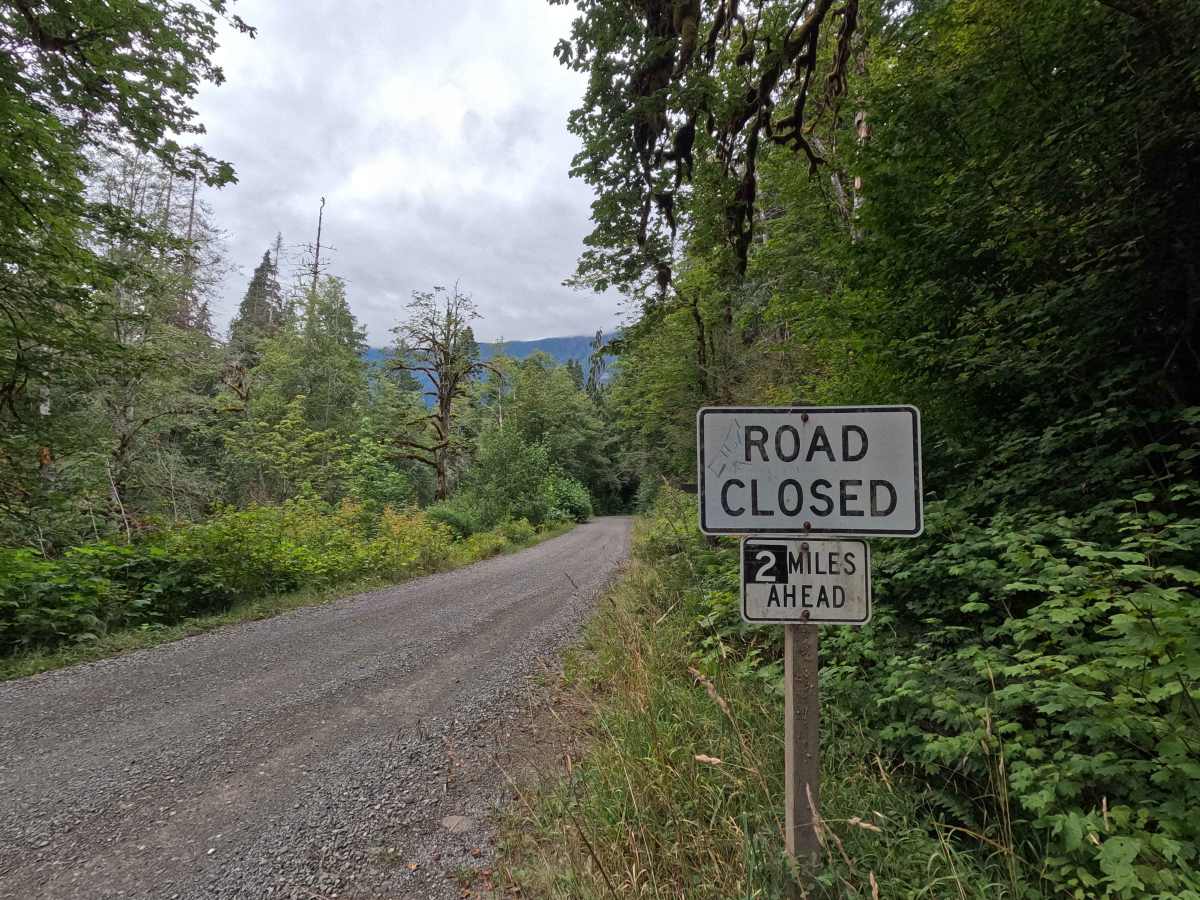
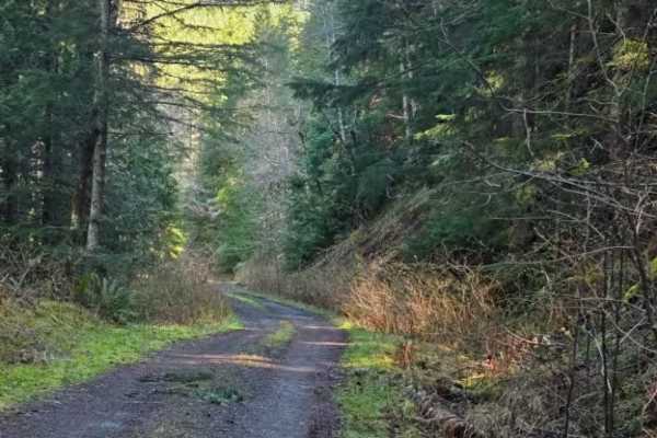
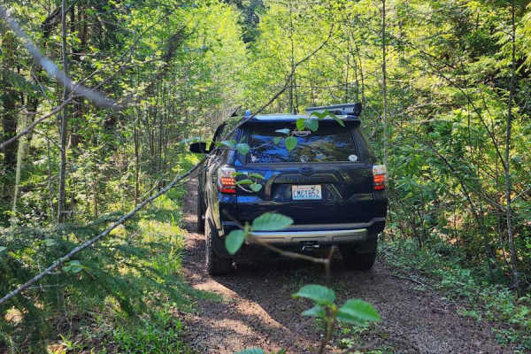
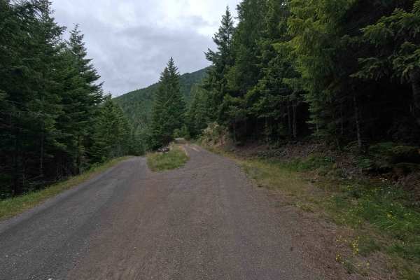
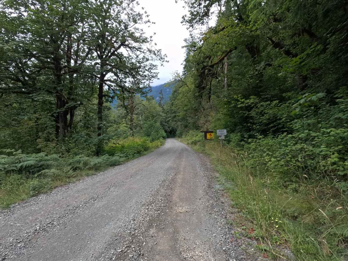
Dosewallips Road - FS 2610 is a 4.0-mile out-and-back route that follows the Dosewallips River on a wide, well-maintained gravel road. The drive provides access to several river access points and scenic views before ending at the Dosewallips Road Trailhead parking area. The road was permanently closed to vehicles beyond this point following a major landslide approximately 2 miles from pavement, making the trailhead a popular starting point for hikers, backpackers, and cyclists continuing into Olympic National Park. Dosewallips Road is open to highway-legal vehicles only.

Photos of Dosewallips Road - FS 2610

Difficulty

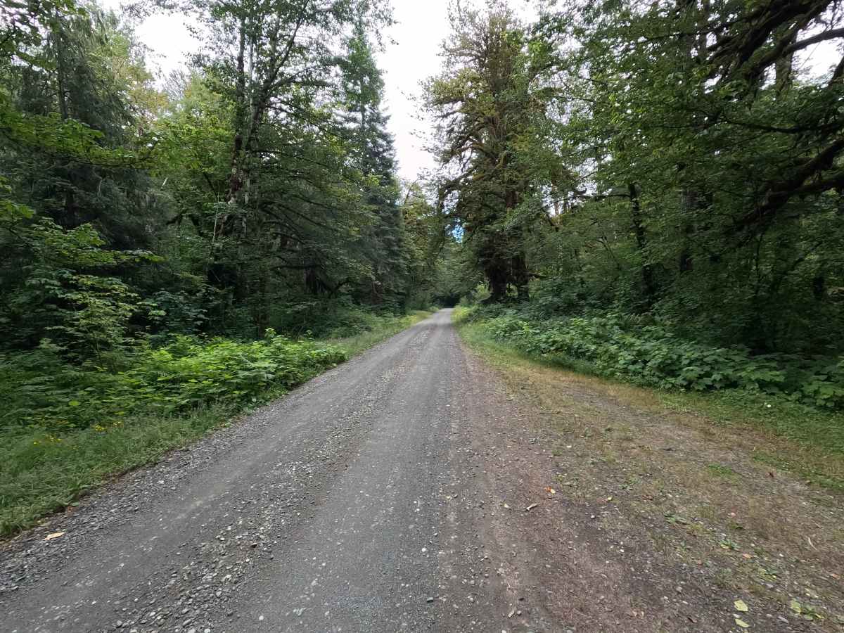
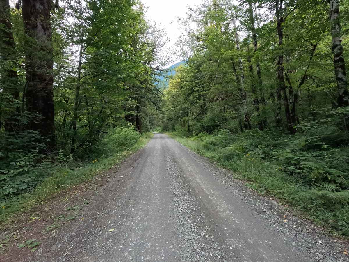
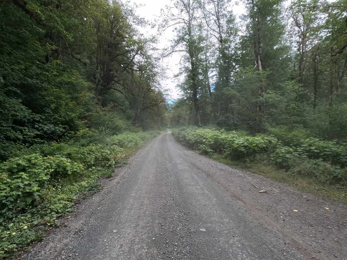
Dosewallips Road - FS 2610 is rated easy and is suitable for all highway-legal vehicles. The gravel surface is wide, smooth, and well-maintained, with few obstacles beyond occasional washboarding or loose gravel. Expect increased traffic, particularly during weekends and the summer recreation season.

Technical Rating

1

Dosewallips Road - FS 2610 Trail can be accessed by the following ride types:

  • High Clearance
  • Full Width

Dosewallips Road - FS 2610 Map

The onX Offroad Difference

onX Offroad combines trail photos, descriptions, difficulty ratings, width restrictions, seasonality, and more in a user-friendly interface. Available on all devices, with offline access and full compatibility with CarPlay and Android Auto. Discover what you're missing today!

Open Trail Map