

The Best Places to Watch the 2024 Solar Eclipse
On April 8, 2024, a total solar eclipse will be viewable in 13 states across the United States. Its path of totality will span over 111M acres of land. To help outdoor enthusiasts find a perfect place to witness this rare celestial event, and spend time doing the outdoor activities they love, onX analyzed its mapping data to uncover where eclipse viewers can enjoy the most public land, trails, water bodies, climbing crags, and more. Add the path of totality to your onX map and start planning your trip!
On April 8, 2024, a total solar eclipse will be viewable in 13 states across the United States. Its path of totality will span over 111M acres of land. To help outdoor enthusiasts find a perfect place to witness this rare celestial event, and spend time doing the outdoor activities they love, onX analyzed its mapping data to uncover where eclipse viewers can enjoy the most public land, trails, water bodies, climbing crags, and more. Add the path of totality to your onX map and start planning your trip!

onX’s Top Recommendations
Here are the top five states to view the solar eclipse, based on recreation opportunity and access to public land acreage.
- Arkansas. Home to 3,097,069 acres of publicly accessible land in the path of totality, eclipse viewers can paddle the Buffalo National River, hike over 350 miles of trails in the Ozark National Forest, off-road through the Ouachita National Forest, or explore the mountain bike trail system outside Hot Springs National Park.
- New York. Here, the path of totality encompasses 2,939,917 acres of publicly accessible land. The Adirondacks are home to over 3,000 lakes and 30,000 miles of rivers and streams. This park also has nearly 2,500 climbing routes. Letchworth and Allegany State Parks are home to 50 miles of hiking trails on the eastern side of the state.
- Missouri. 1,334,929 acres of publicly accessible land are found in the path of totality in Missouri. Eclipse viewers can off-road in St. Joe State Park or explore over 1,000 miles of hiking trails along the Ozark National Scenic Riverways and in the Mark Twain National Forest.
- Indiana. Home to 583,903 acres of publicly accessible land in the path of totality, eclipse viewers in the Hoosier state can explore over 100 climbing routes in Muscatatuck Park, hike Brown County State Park and Hoosier National Forest trails, or get out on the water at Brookville Lake.
- Maine. 543,185 acres of publicly accessible land are found in Maine’s section of the path of totality. This spring, viewers can enjoy 12,000 miles of trails, many found in Baxter State Park and the Katahdin Woods & Waters National Monument. Additionally, most (255 miles) of the Appalachian Trail in the Pine Tree State are within the eclipse’s path.
The Path of Totality
Zoom in on the interactive map below to explore different areas within the 2024 Solar Eclipse Path of Totality. Want to add the Path of Totality (GPX file) to your map? Tap the link below that corresponds with your onX app. You will be able to see what recreation opportunities exist within the path!
The Path of Totality,
by The Numbers
Along the 2024 Solar Eclipse Path of Totality, there are:
10M+Acres of Publicly-Accessible Land
9,502Miles of Hiking Trails
7,524Miles of Off-Road Trails
4,059Campsites and Campgrounds
26Ski Areas on the Path
1National Park

Don’t Forget to Eclipse Responsibly
Our friends at Leave No Trace have outlined a few suggestions on how to lower our impact when watching the eclipse–including reminders to plan ahead, camp and travel on durable surfaces, and be considerate of others and the community that you’re visiting.
Not an onX member already? Get started.
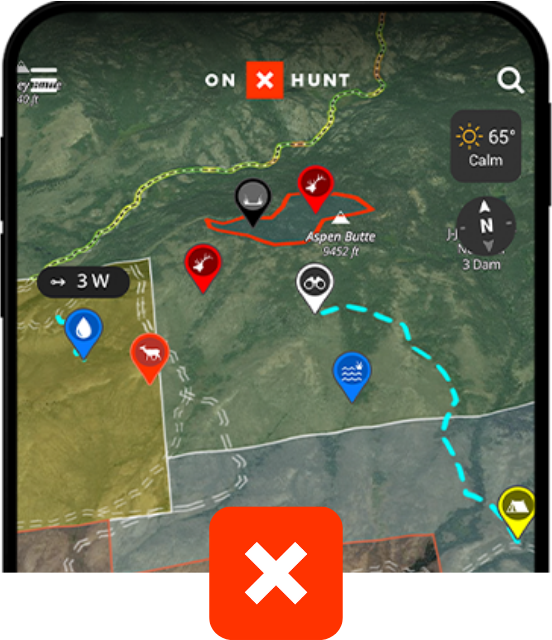
onX Hunt
Trusted by millions of hunters
- 852 Million Acres of Public Land
- Color-Coded Public and Private Land Boundaries
- Pro Deals on Top Hunting Brands
- Trail-Cam Integration
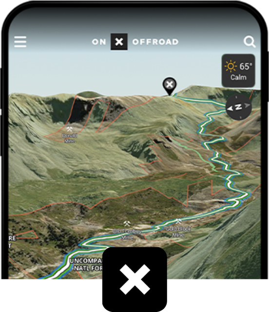
onX Offroad
Go farther with confidence
- 650K+ Miles of Off-Road Trails
- Color-Coded Public and Private Land Boundaries
- Dirt Mode and Snow Mode for Year-Round Adventures
- Route Builder and Customizable Map Tools
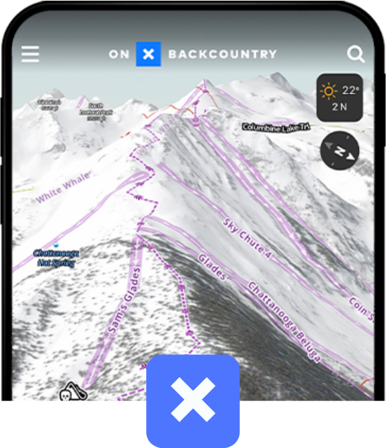
onX Backcountry
Discover trails near you
- 770K+ Miles of Hiking, Biking, and Backcountry Skiing Trails
- Color-Coded Public and Private Land Boundaries
- 500K Recreation Points
- Local Weather Forecasts