Trail Overview
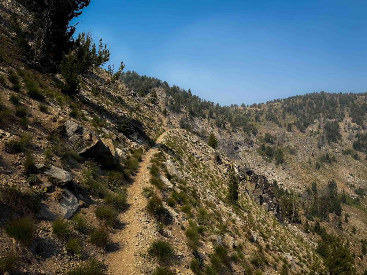
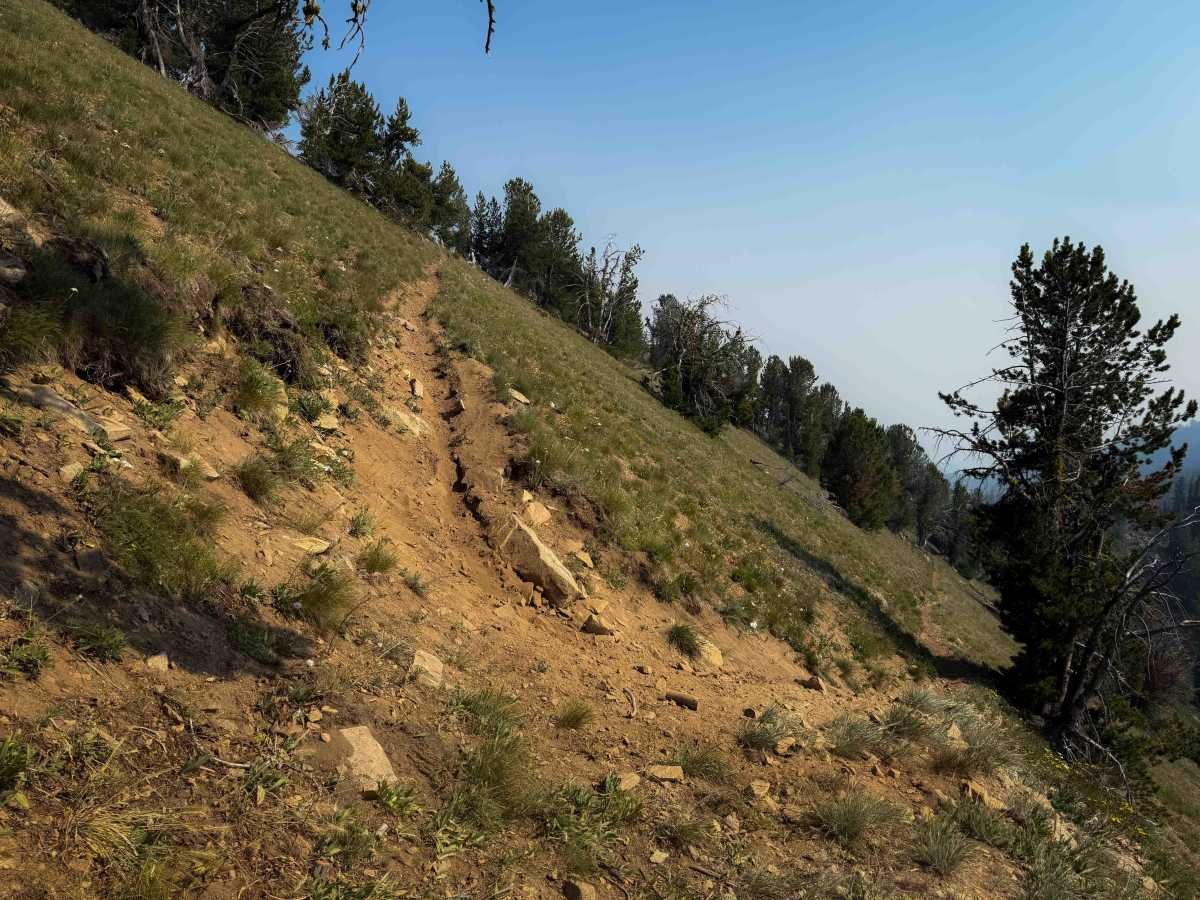
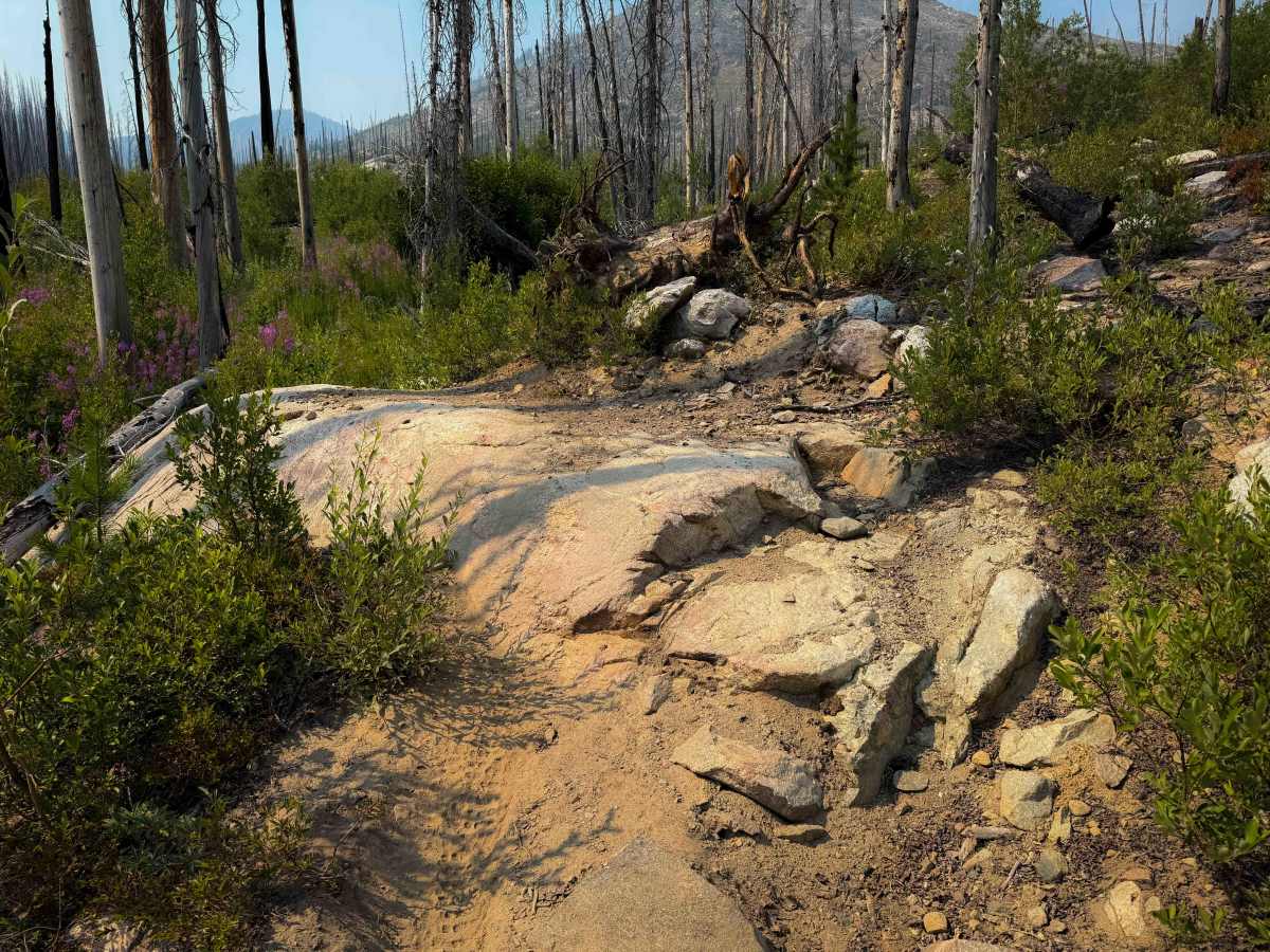
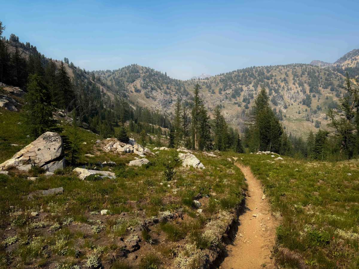
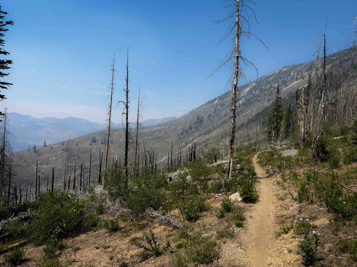
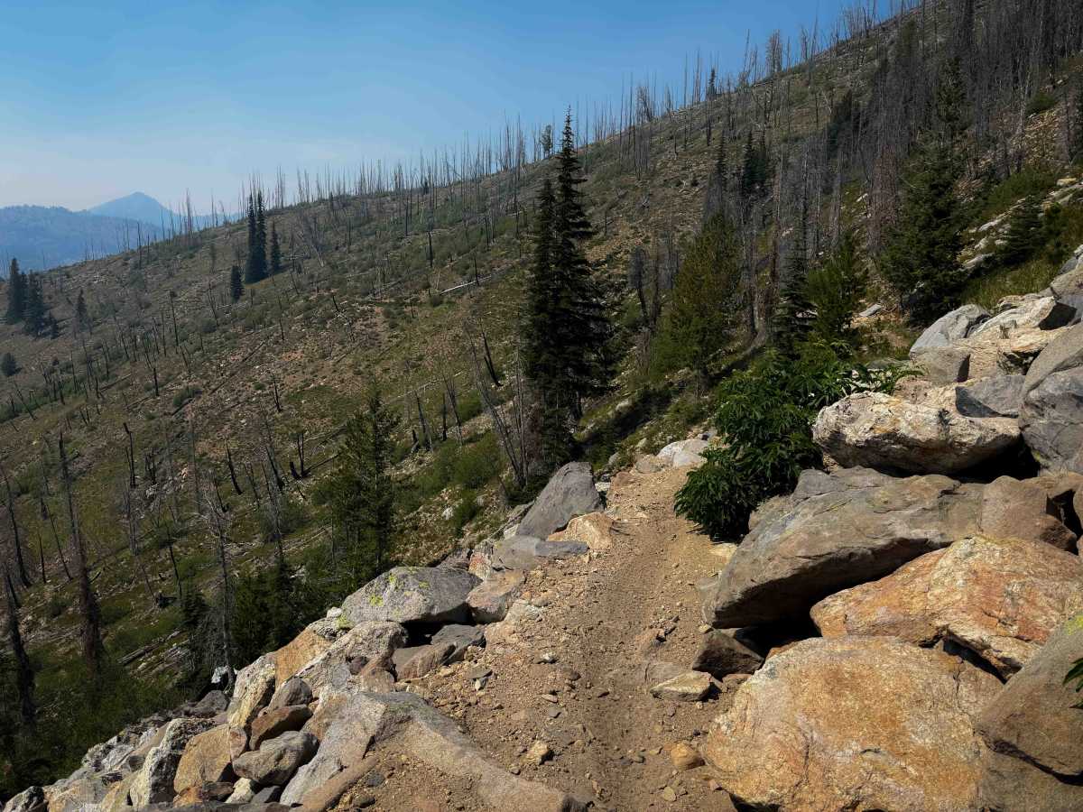
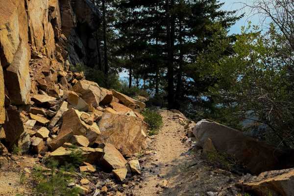
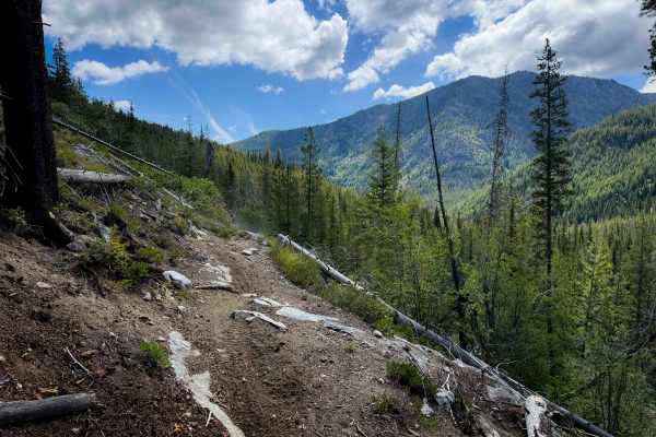
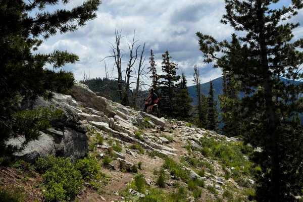
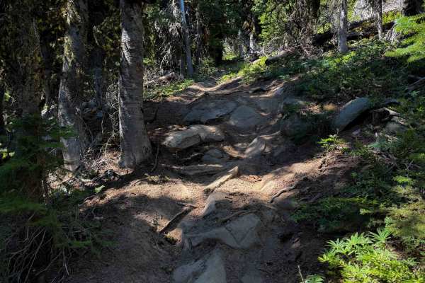
Summit Trail is a scenic and rugged single-track through the Foggy Dew Trail System. The long trail, at 10.2 miles, accesses a remote area of the Wenatchee National Forest, taking you deep through an old burn scar, past several 7- and 8-thousand-foot peaks, and on a ridge line above Horsethief Basin. The trail is full of fun technical challenges and incredible alpine views with wildflowers. Just reaching the southern entrance to the trail at the South Navarre Trailhead requires 24 miles of dirt road. Be prepared with everything you need for a remote backcountry ride, with changing conditions. The south end starts as a narrow benched trail traversing across a high alpine hillside through a burn scar, with tight winding turns and a mix of embedded and loose rock, moderate switchbacks, and small rocky stream crossings. It mostly descends to the intersection with Safety Harbor Creek Trail for the first 2.5 miles. It climbs for the next 3.5 miles, with frequent narrow side-hilling and exposure, big embedded boulders in the trail, and a few technical switchbacks. There are a few embedded rock ledges on tight turns covered in silty dirt, with ruts, that are more technical. It passes the intersection for Uno Peak Trail (which appeared to not be maintained or frequently ridden). The trail reaches its high point of 7,387 feet after 6 miles, at the intersection with the nonmotorized Summer Blossom Trail, at a saddle overlooking a scenic meadow and the East Fork Prince Creek. From here, it drops down a series of about 20 switchbacks. They range from extremely tight and steep at the top, to more gradual and wide at the bottom. The last few miles on the north end are more gradual and flowy, winding through scenic forest, until it intersects with the Cub Lake Trail. Overall, the trail is a very fun ride that will challenge the average rider.
Difficulty
This is a difficult trail rating with frequent advanced obstacles throughout the long route. This includes technical, tight, and steep switchbacks that will require excellent pivot skills, as well as several rock ledge obstacles. There are several narrow and exposed sections of trail high up on a ridge line that are not ideal for inexperienced riders. The route is long and physically demanding. The trail appears to be maintained by local volunteers and was clear of any logs as of July 2026, but there could be new log hazards, especially in the burn area, and it will require extensive cutting in early season.