Trail Overview
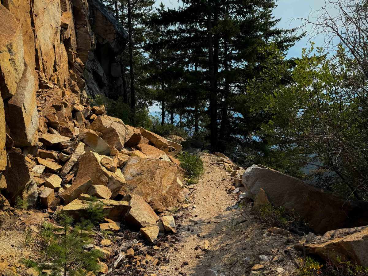
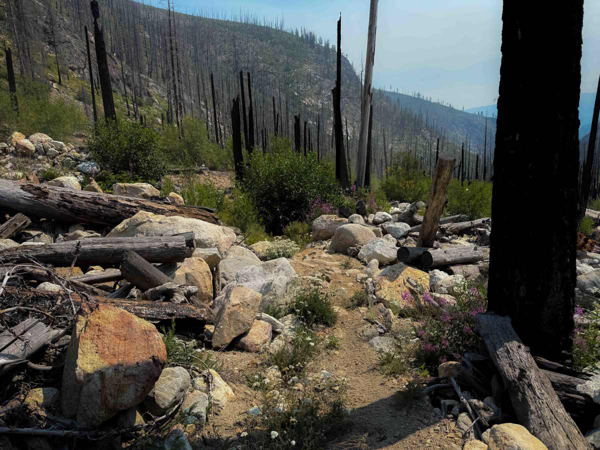
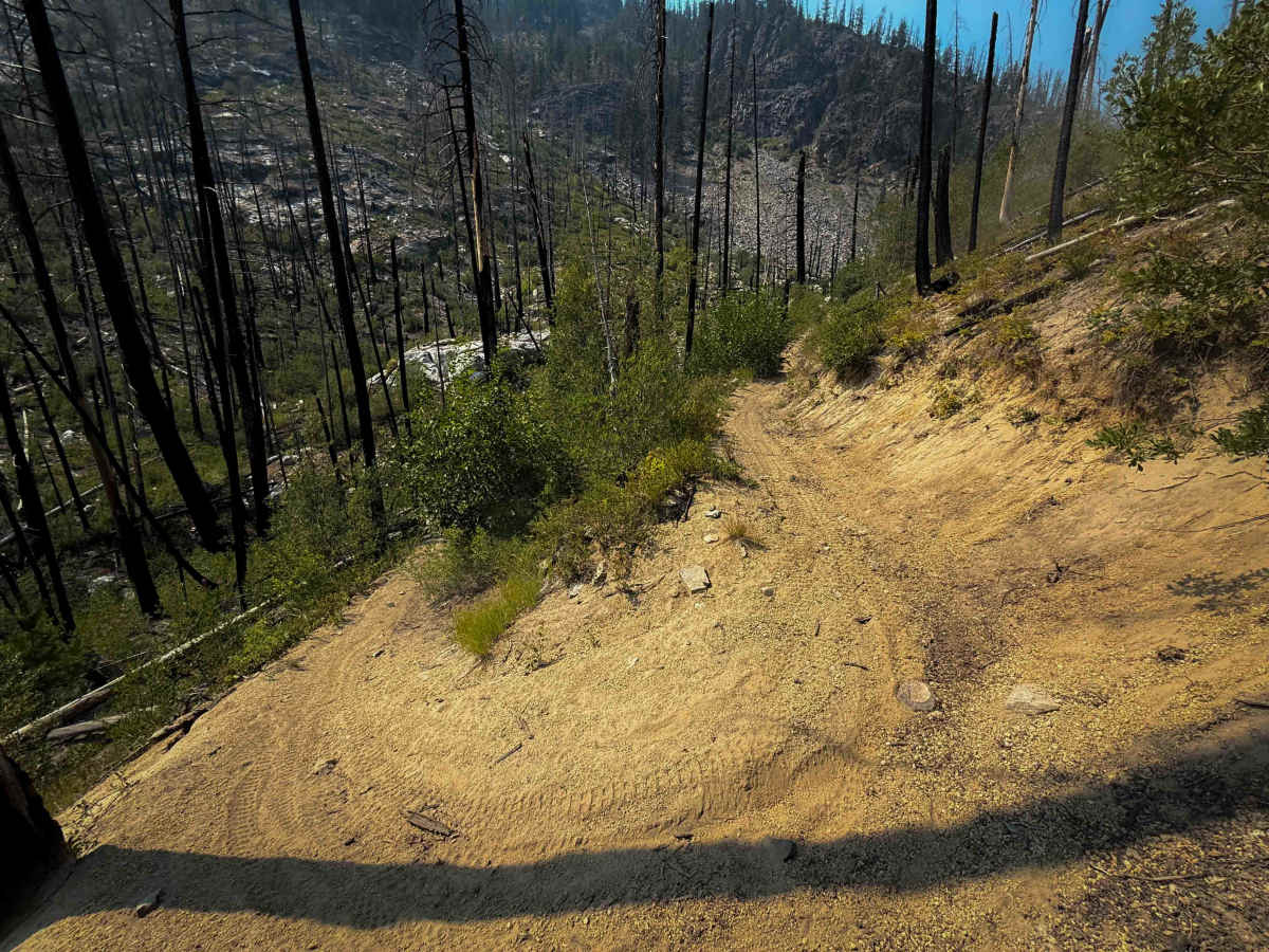
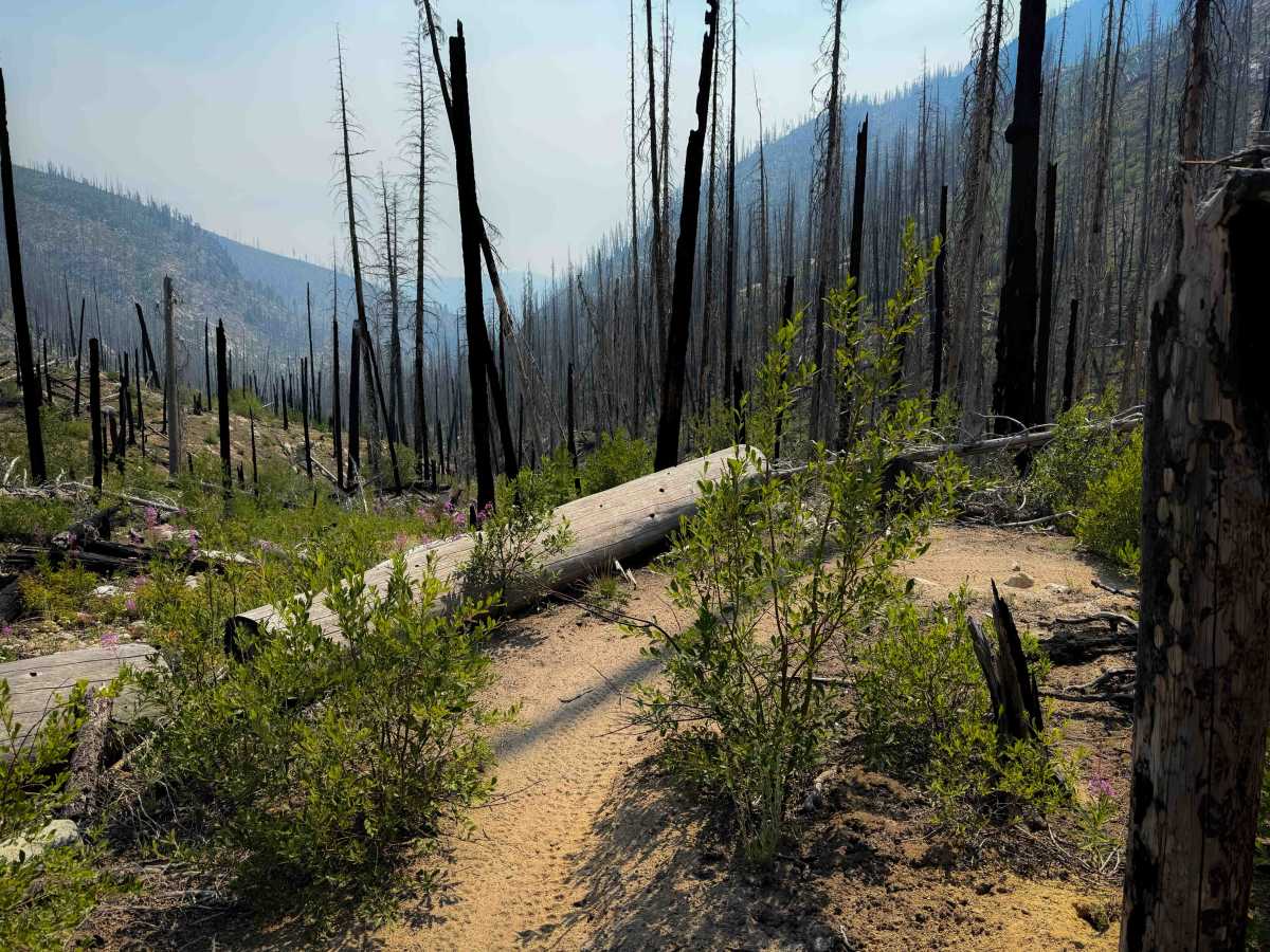
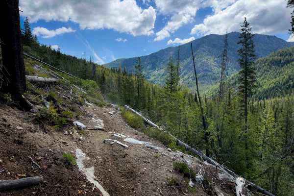
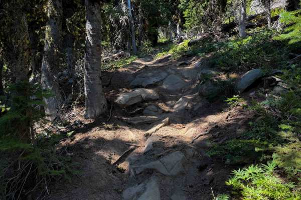
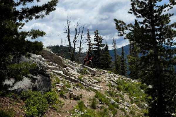
Safety Harbor Creek is a 4.6-mile-long access trail into the Foggy Dew Trail System. It starts at the Safety Harbor Creek Trailhead, which is best accessed from the town of Chelan, but requires a long drive on dirt roads for about 25 miles to get there. The first 3 miles of trail are an old shelf road that has narrowed into a singletrack, so it’s a gradual route cut into the hillside, but it still has overgrown bushes and rocky sections. It rides past a couple of scenic rock walls, and over a chunky section of talus where there was a rockfall. It passes the intersection with Uno Peak Trail, which appears less maintained and infrequently ridden. The northern 1.6 miles are a semi-steep single track that winds through a burn scar on a narrow trail with small loose and embedded rocks, overgrown bushes, scenic wildflowers, and small rocky stream crossings. The trail requires tight maneuvers and turns through short, steep climbs, and riding over several rocky sections full of small boulders. It is mostly loose silty dirt that creates very dusty conditions.
Difficulty
This is a moderately easy trail as it has a mix of gradual and steep terrain, and moderate rock sections. There are narrow and shelfy sections on an old road, and tight turns. This is ideal for riders with a basic level of experience. Expect log hazards, especially in early season.