Trail Overview
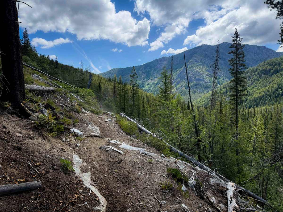
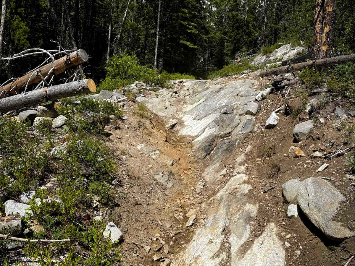
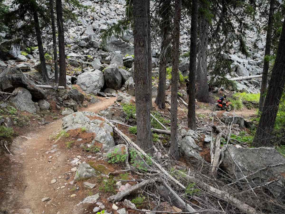
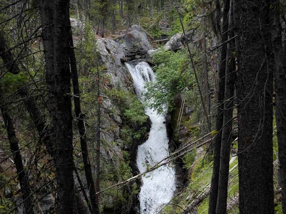
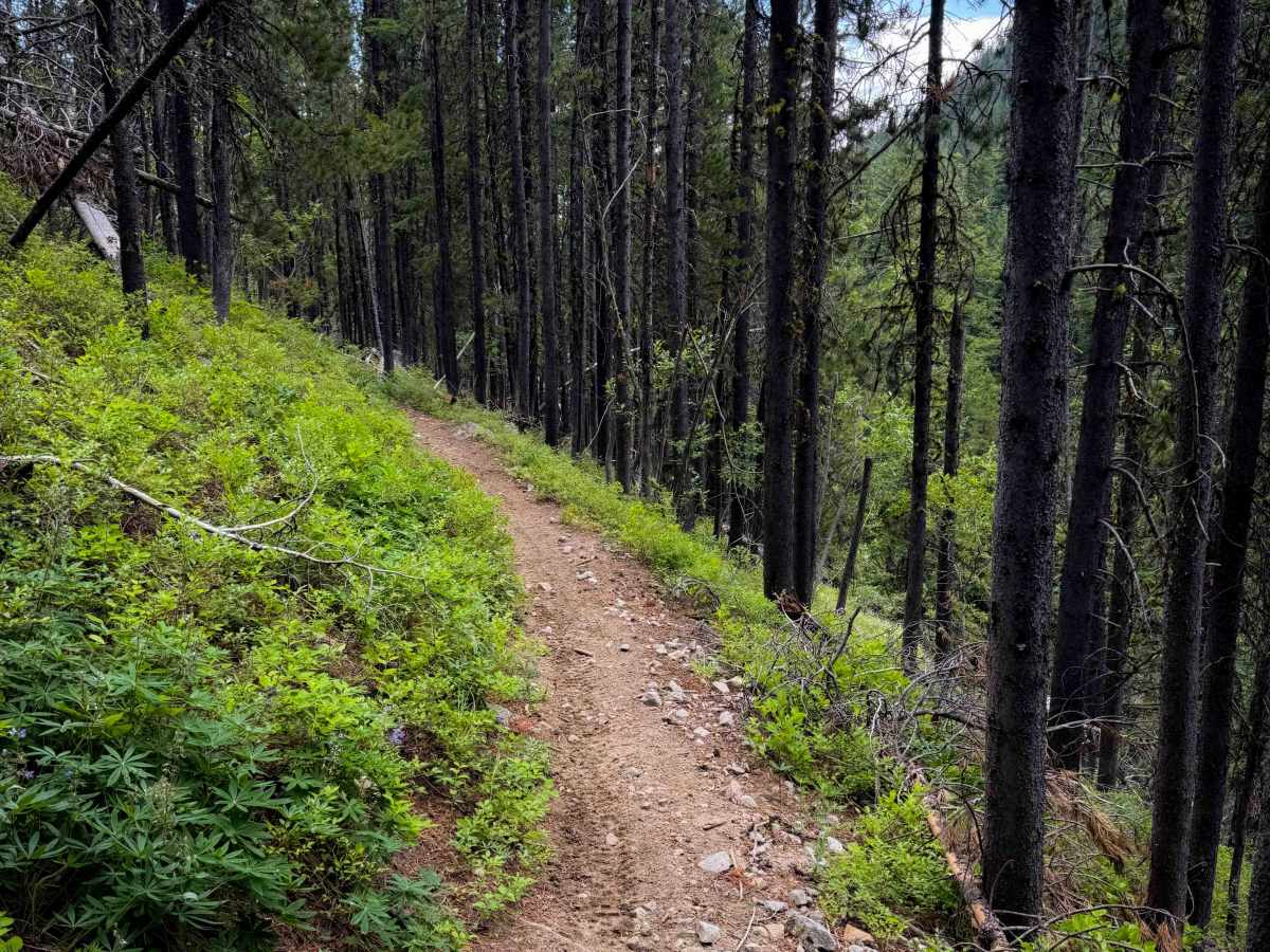
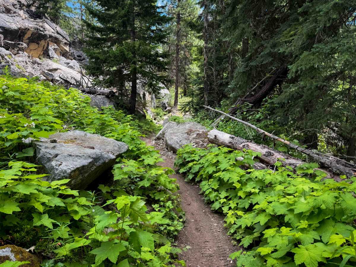
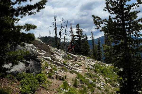
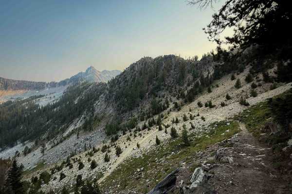
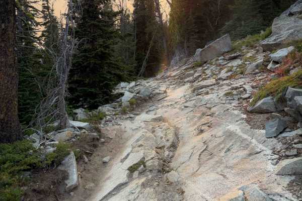
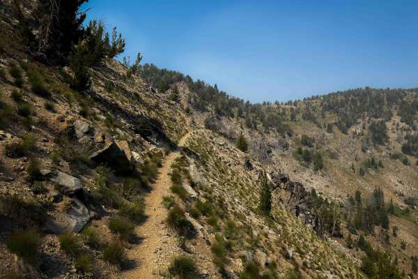
The Foggy Dew Trail starts at the Foggy Dew Trailhead, at the end of Forest Road 200, with space for several vehicles and trailers. It climbs almost 2,600 feet in elevation over 4.8 miles as it goes west to connect to Martin Creek. This climb is much easier than the parallel Trail 428 Foggy Dew Ridge, and much less steep. A lot of this trail is a gradual climb on a narrow and shelfy trail that traverses up the hillside through subalpine firs and lodgepole pines. There are frequent small rock and root features, and tight hairpin turns, plus some mild exposure. You ride at the base of a talus field full of giant boulders and scree. After 2.6 miles of climbing, you get a view of the Upper Foggy Dew Falls off to the side of the trail. Near the top of the climb, there are a couple of moderate obstacles that are ramped rock faces and short ledges. This is a fun and scenic one, and makes a great loop with Martin Creek and Eagle Lakes for intermediate riders.
Difficulty
This is a moderate-difficulty trail due to tight turns with exposure and a couple of intermediate rock ledges near the west end of the trail. Riders should be comfortable with narrow trails, tight switchbacks, and moderate rock features.