Trail Overview
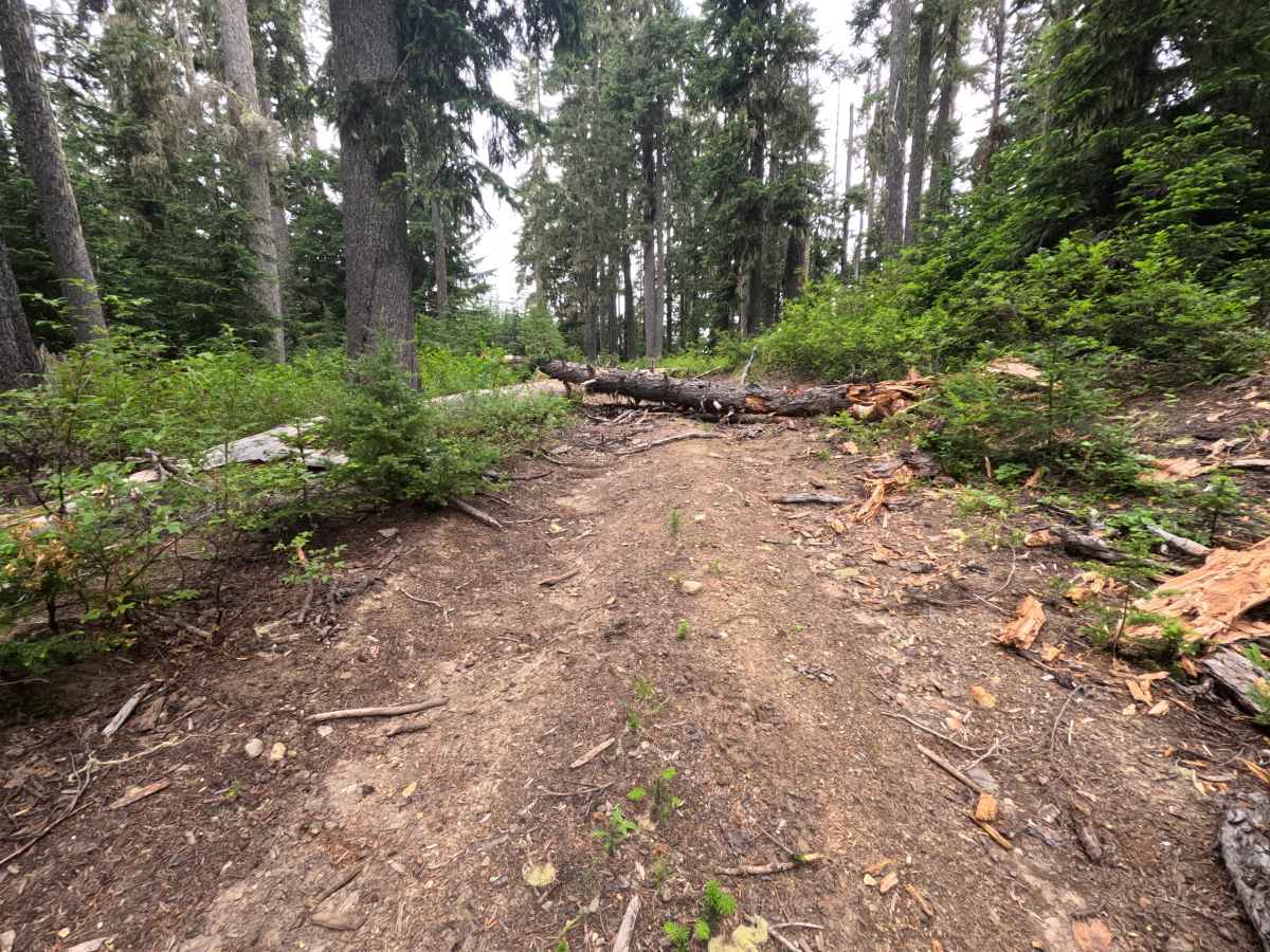
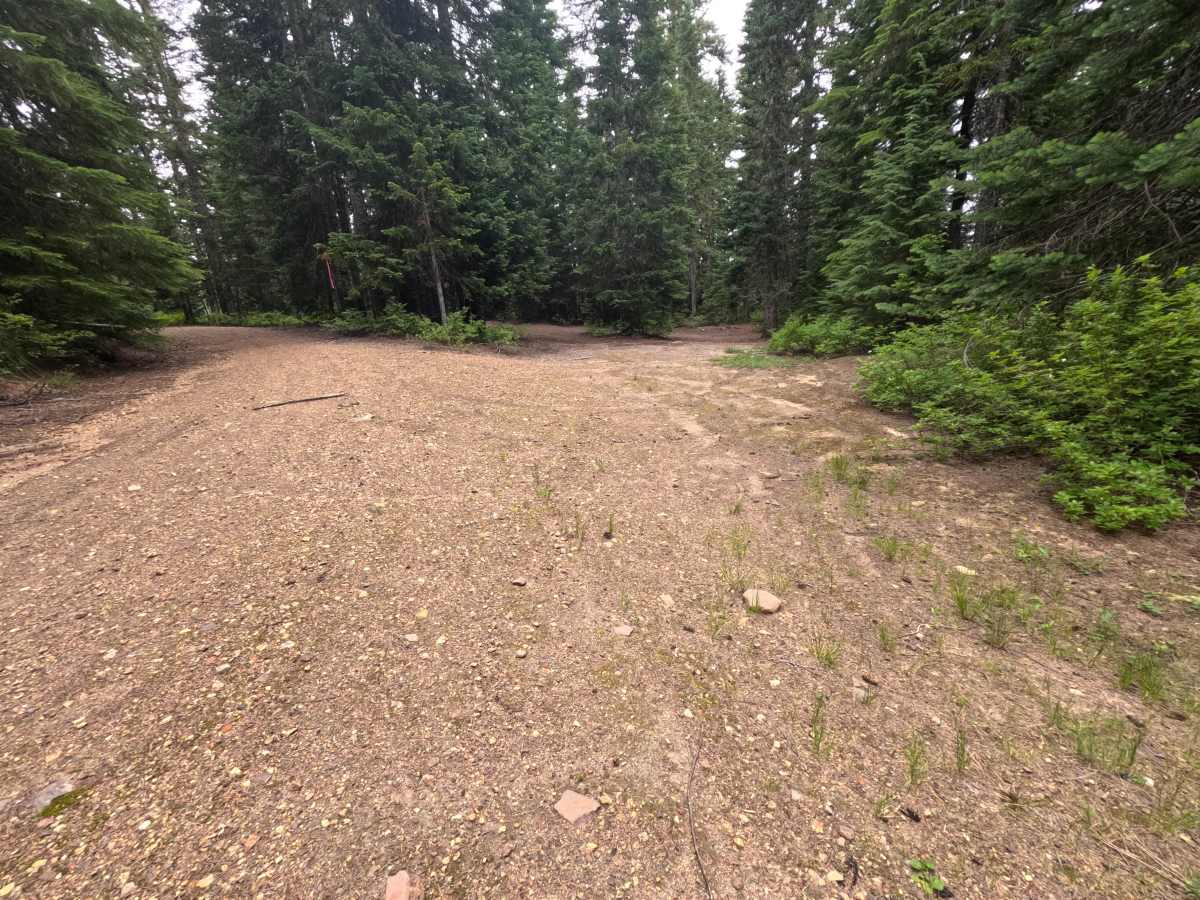
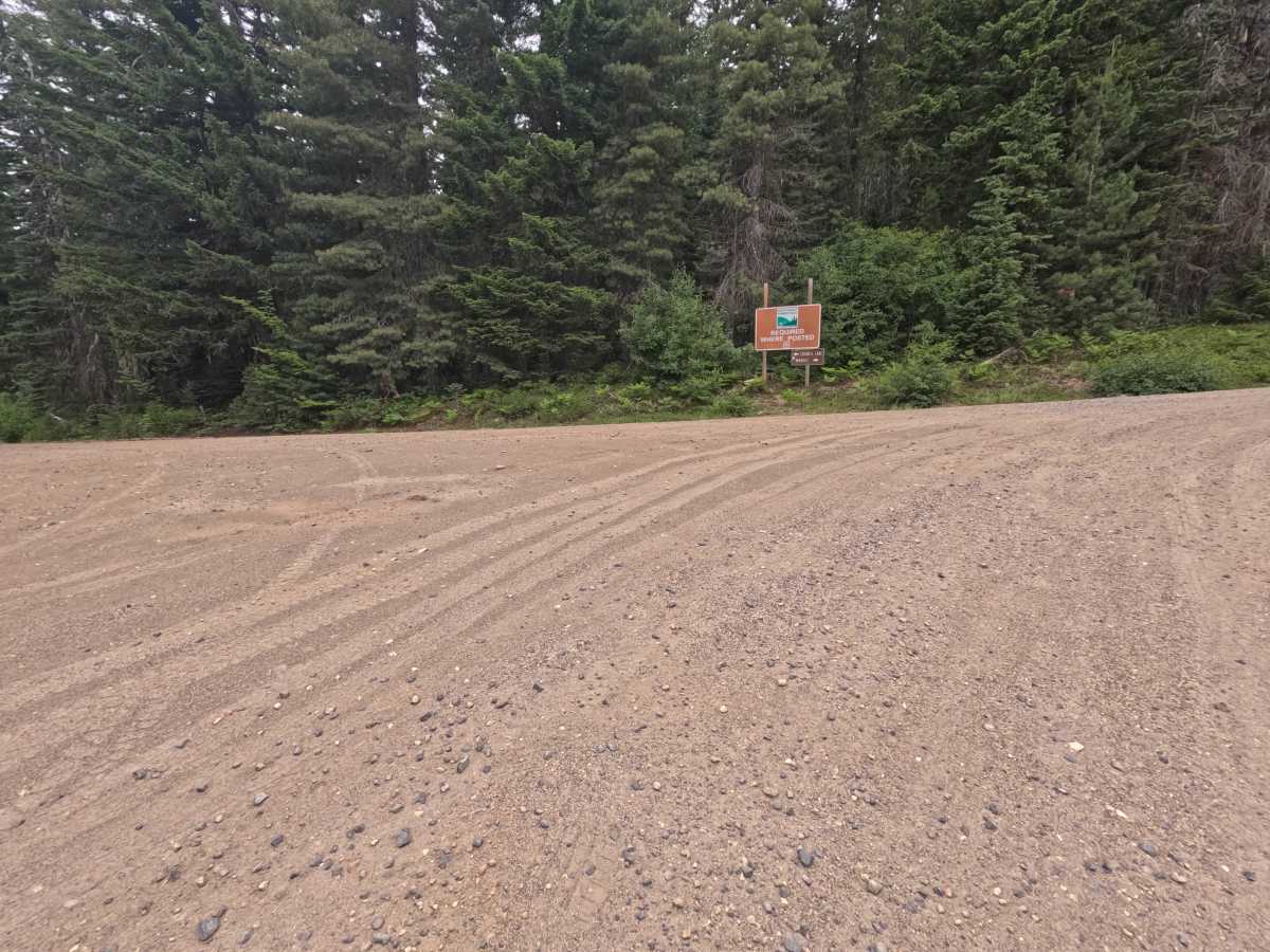
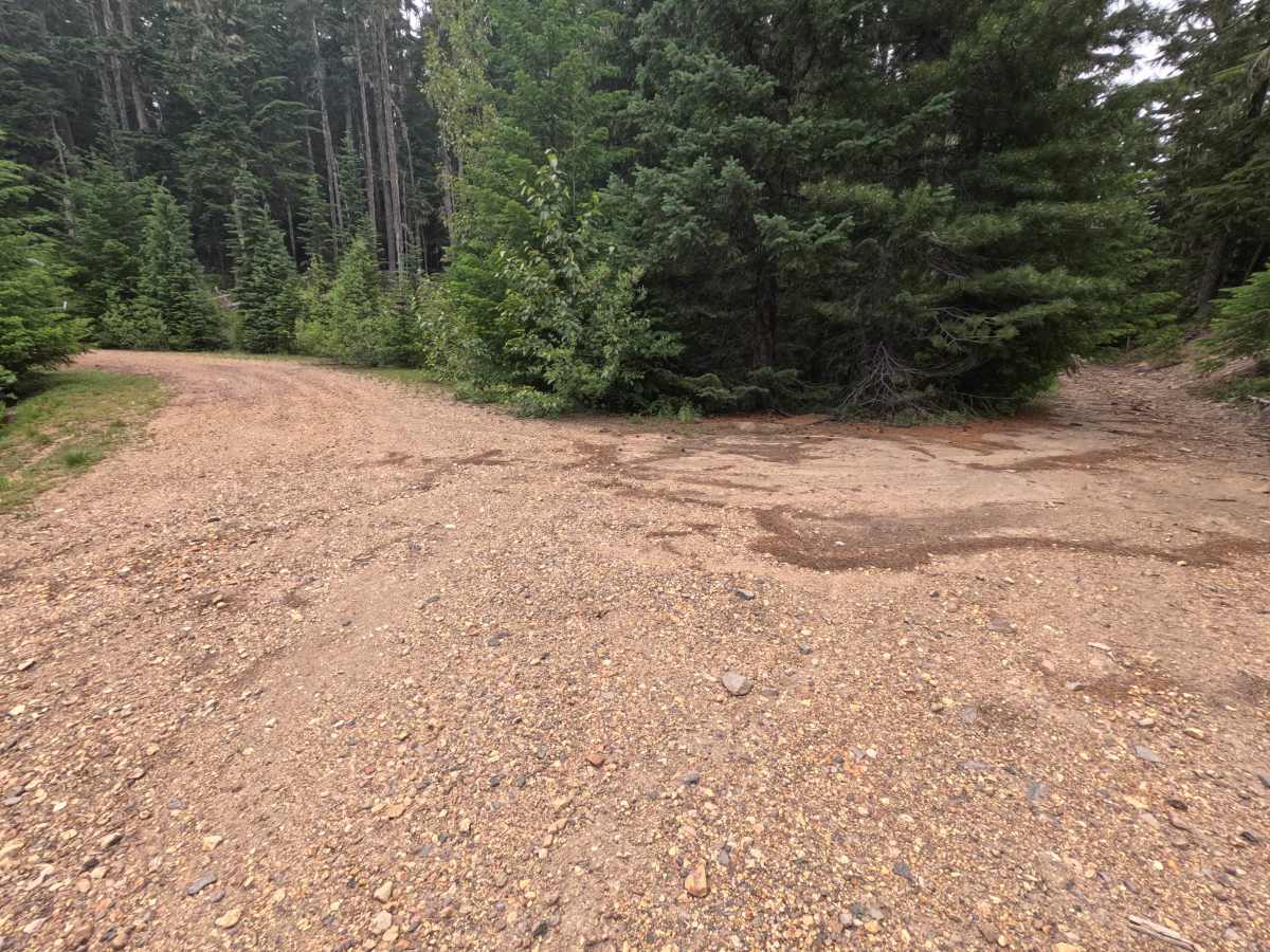
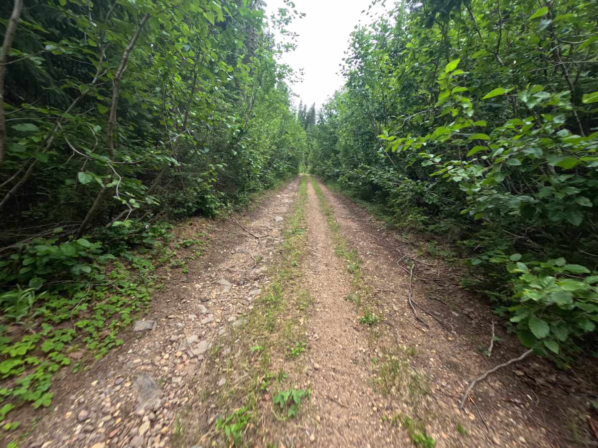
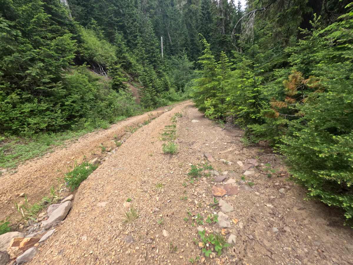
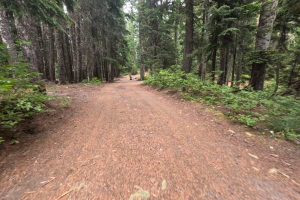
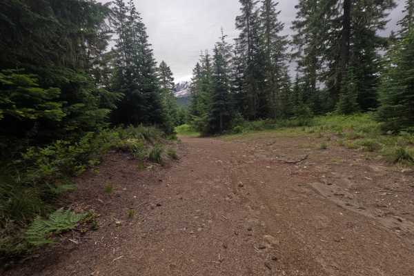
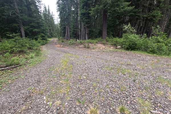
Summit Prairie (FS 2334000) is the main route toward Council Lake, beginning as a wide gravel road two vehicles across with minimal potholes and generous turnouts. The early miles are easy and camp-friendly, with dispersed sites at 0.6 and 1.2 miles, the latter a handy overflow for Council Lake, before the road narrows to a single lane around 1.4 miles. Near 2.4 miles, a slight right turn drops to a dispersed site with a creek crossing that calls for 4x4 and high clearance, and past roughly 3 miles the road turns narrow, overgrown, and clearly less traveled as it weaves up and then briefly down through a moody, wildlife-rich forest where scat and bear and deer prints are common. Beyond a large dispersed camp at 3.9 miles, the road pitches into a steep, roughly 100-foot rocky ascent that low-clearance and 2WD vehicles should not attempt. It finally ends near 4.7 miles at a pair of thick, elevated logs across the trail that cannot be cleared without tools. Because the hard upper ascent offers no real payoff, turning around at the 3.4-mile fork is the recommended call.
Difficulty
While the first few miles are easy-graded gravel, the road earns its rating in the upper section, where a side-spur creek crossing requires 4x4 and high clearance, and a steep, roughly 100-foot rocky ascent with severe rutting pushes beyond the limit of low-clearance and 2WD vehicles. The terrain is rugged and unmaintained near the top, and impassable downed logs ultimately end the route, making 4x4 and high clearance essential for anyone continuing past the mid-point.