Trail Overview
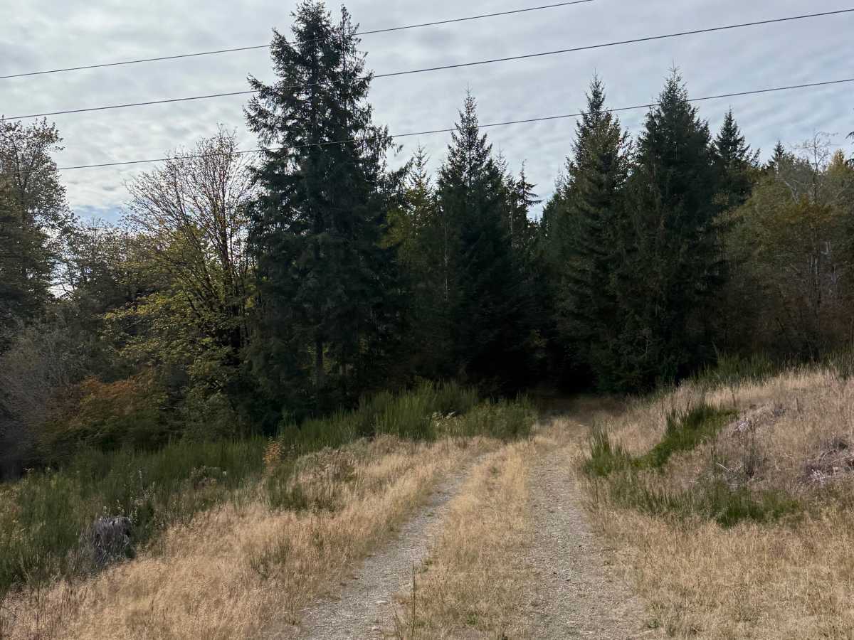
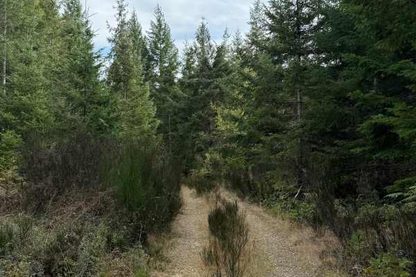
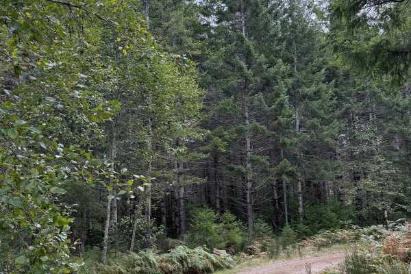
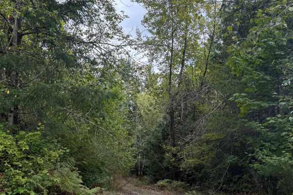
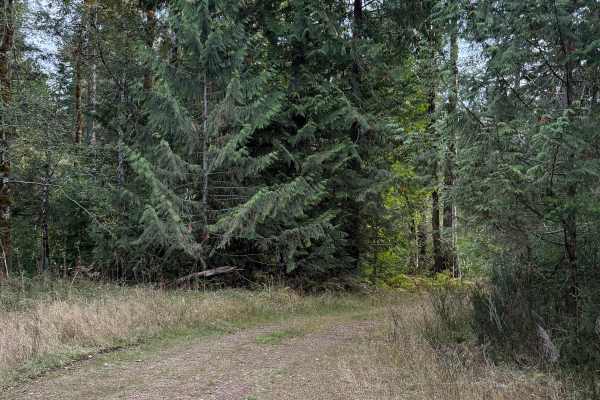
Powerline Connector Trail is a single-vehicle-width route through forest and powerline corridors on Washington DNR-managed land. The trail consists primarily of firm hardpack dirt, transitioning to gravel in several sections. Dense vegetation lines both sides through the wooded portions, while the route periodically opens beneath the power lines. Low branches create limited overhead clearance in places. A mild uphill section contains loose rock and requires some additional throttle and traction control, but it is not a significant obstacle. Near the connection back into the larger trail system, conditions become more challenging as the route narrows into heavily overgrown single track. Riders must push through thick vegetation and negotiate a small downed tree before rejoining the broader network. Overall, the route remains relatively easy with a few interesting challenges.
Difficulty
Mostly hardpack and gravel with a mild loose-rock climb, heavy vegetation, reduced overhead clearance, and one small log hop. The overgrown single-track section requires additional attention but does not present a major technical obstacle.