Trail Overview
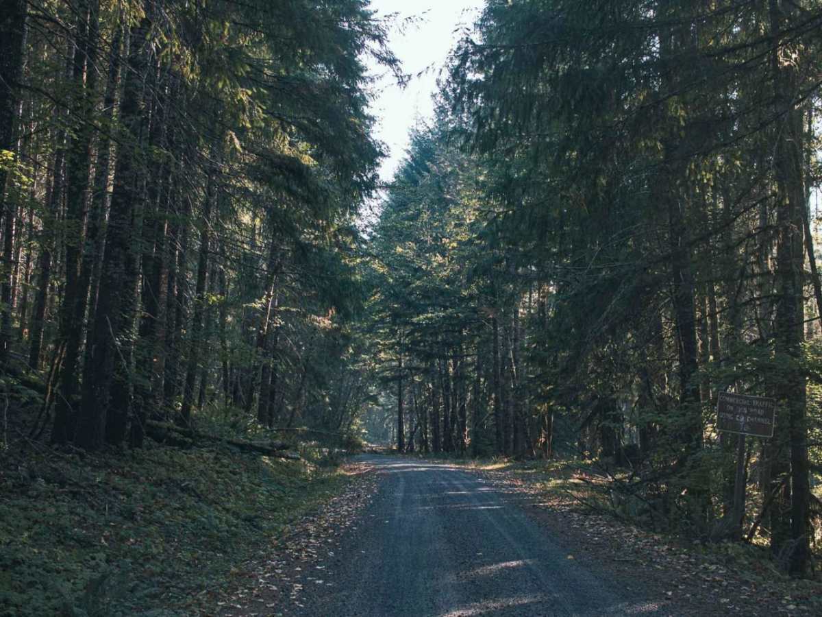
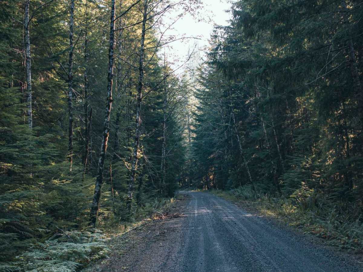
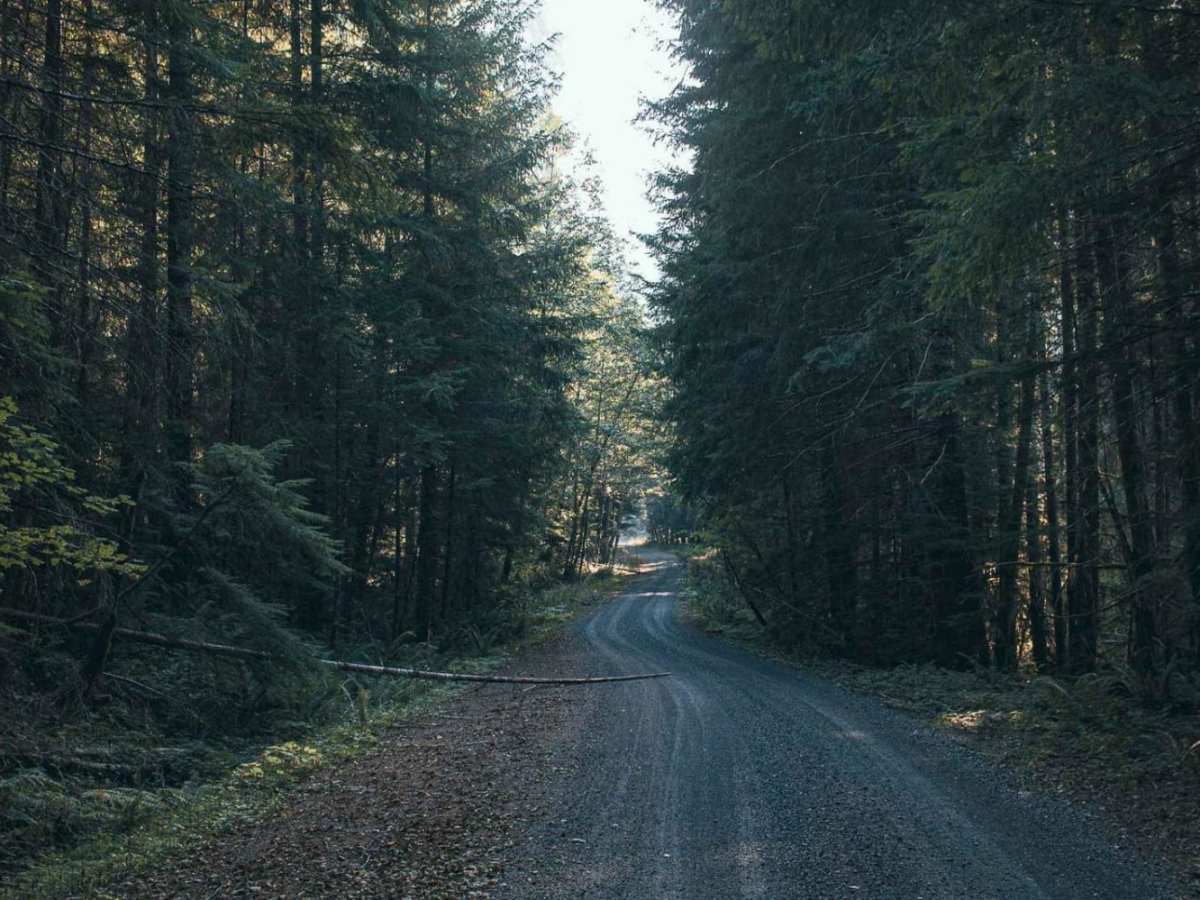
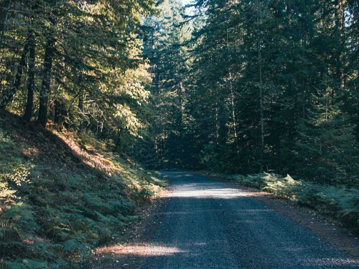
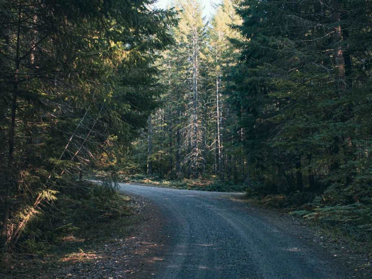
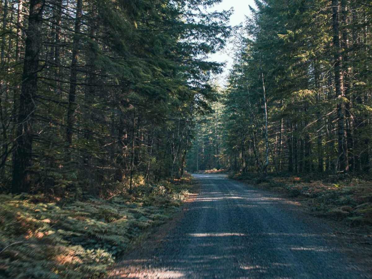
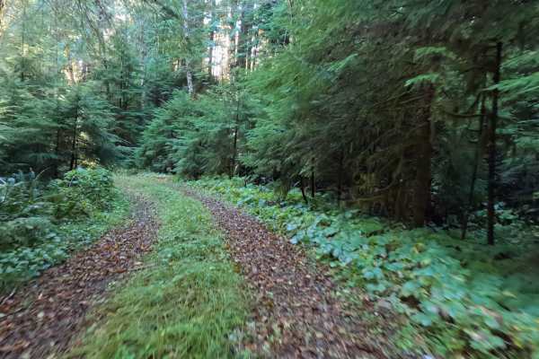
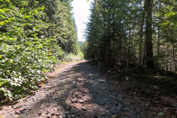
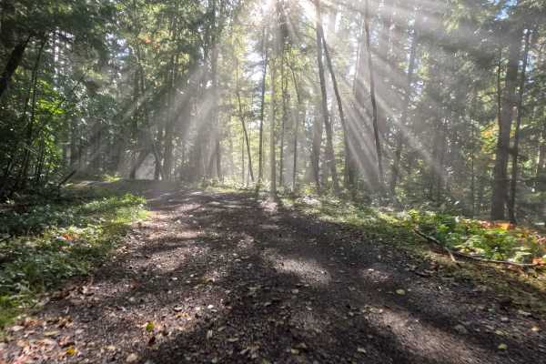
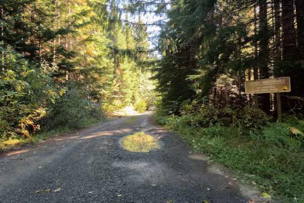
Pepper Creek is an easy, 6.4-mile gravel route winding through Washington's scenic Gifford Pinchot National Forest, making it an excellent option for beginners, families, and high-clearance four-wheel-drive vehicles. Climbing from a minimum elevation of 1,128 feet to a peak of 1,672 feet, this trail features mild elevation changes with an average gradient of just over two degrees, though some short segments can reach up to 24 degrees. It serves as an accessible gateway to some of the region's most stunning natural features, running close to the Lewis River and offering access to several nearby hiking trails. The route is highly recommended for drivers seeking a relaxed offroad experience that can easily accommodate stock sport utility vehicles, trucks, and SxSs without the need for specialized modification.
Along the route, travelers will find small, dispersed camp spots perfect for a quiet overnight stay amidst the dense forest canopy. The premier highlight along this corridor is the access to Curly Creek Falls, which is exceptionally unique for its two natural rock arches that span the width of the waterfall—making it the only waterfall in Washington state with a natural spanning arch. Travelers should note that this gravel road is not winter maintained, making late spring through autumn the optimal time to visit when the route is clear of snow and debris. Whether you are seeking a quick day trip, a scenic detour, or a base camp for hiking the Lewis River area, this route delivers a straightforward drive with immense natural rewards.

 Offroad