Trail Overview
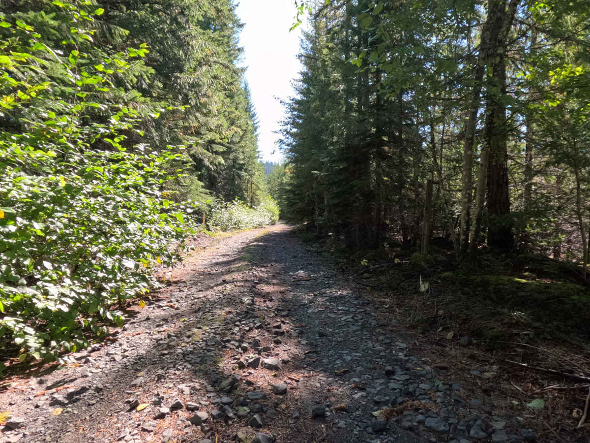
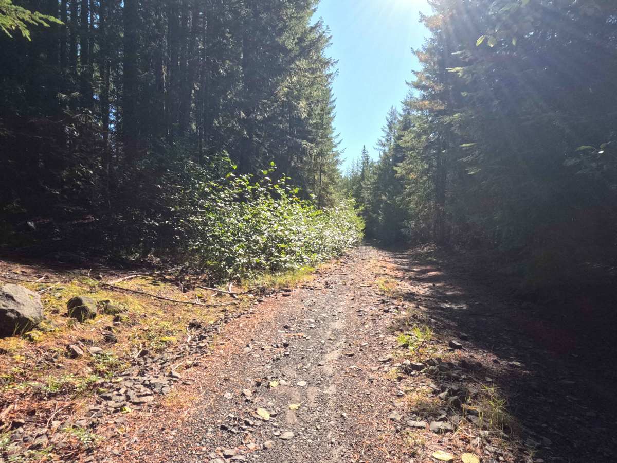
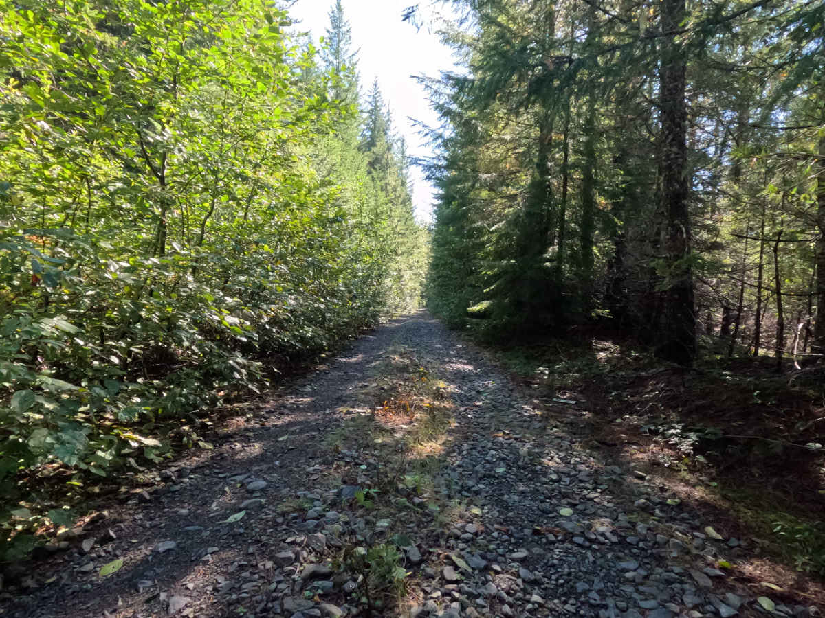
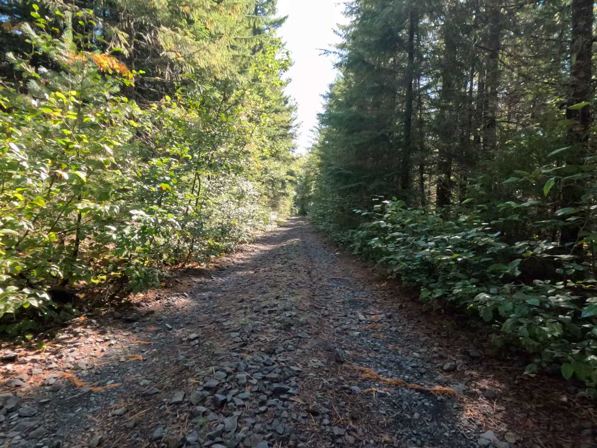
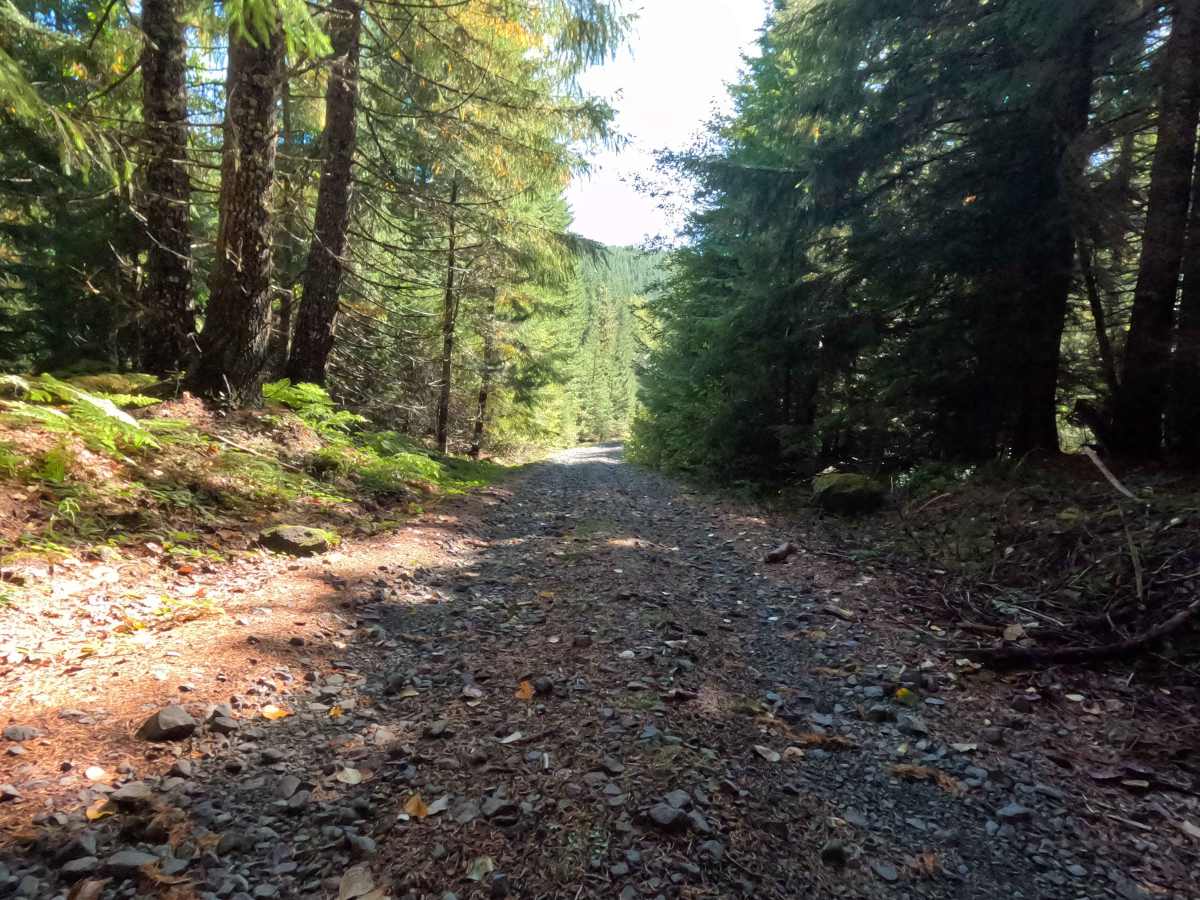
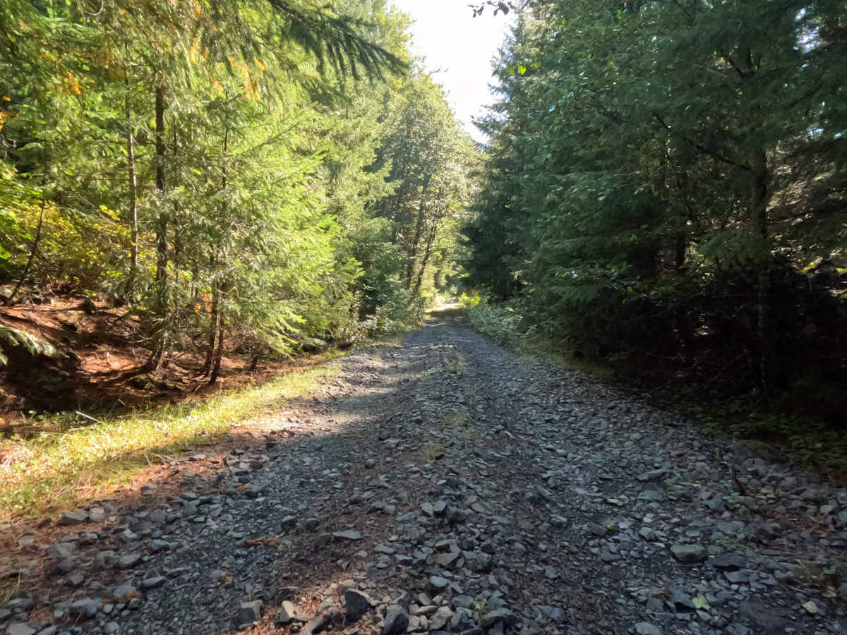
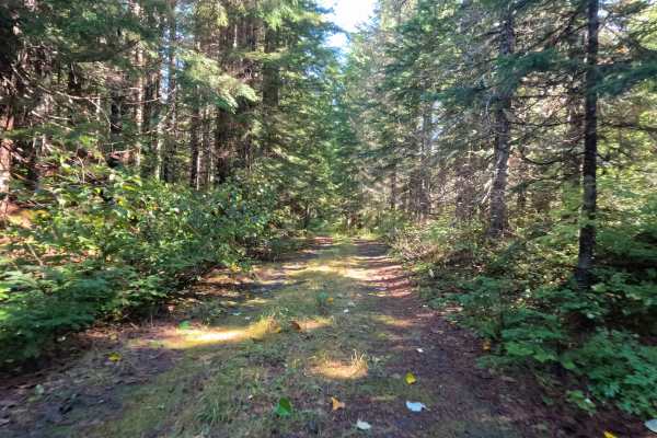
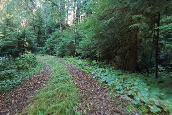
Descending southward directly off FS 83220, Jackpine - FS 2588000 serves as an isolated, out-and-back backcountry spur tucked within the boundaries of the Gifford Pinchot National Forest. The route charts a parallel course alongside a massive, dramatic lahar canyon drainage, offering explorers a unique perspective on the region's intense volcanic history. A dense, vibrant canopy of mature evergreens closely hugs the track, casting deep shadows across the forest floor while thick undergrowth crowds the shoulders. Outdoor enthusiasts and overlanders typically venture down this quiet corridor to seek out remote, undisturbed wilderness or to catch fleeting glimpses of the adjacent volcanic canyon through the heavy timber. The driving surface consists of a narrow dirt and gravel track heavily littered with chunky, embedded rock, warranting a moderate Grade 2 difficulty rating. As the pathway drops deeper into the woods, the surrounding brush becomes noticeably overgrown in several sections, creating a tight, enclosed atmosphere before the route eventually concludes.
Difficulty
This rocky forest spur provides a structurally sound but consistently bumpy driving experience. Severe off-road hazards such as deep mud bogs, intimidating boulder crawls, or treacherous washouts are completely absent from the descent. Instead, the primary driving challenges are the persistent layer of chunky, loose rock that blankets the roadbed and intermittent stretches of encroaching vegetation that brush against the vehicle. Navigating this rough, unrefined foundation requires a patient, measured speed to maintain passenger comfort and protect tires from sharp stone punctures. While the track occasionally narrows due to the overgrown brush, modest ground clearance is generally sufficient to easily roll over the scattered rocky debris and safely explore the shaded corridor alongside the canyon drainage.

 Offroad