Trail Overview
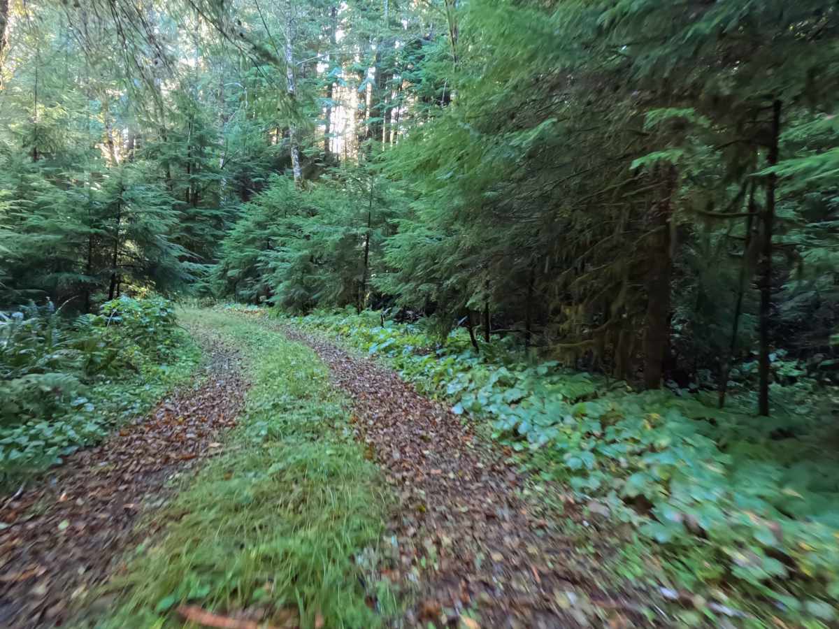
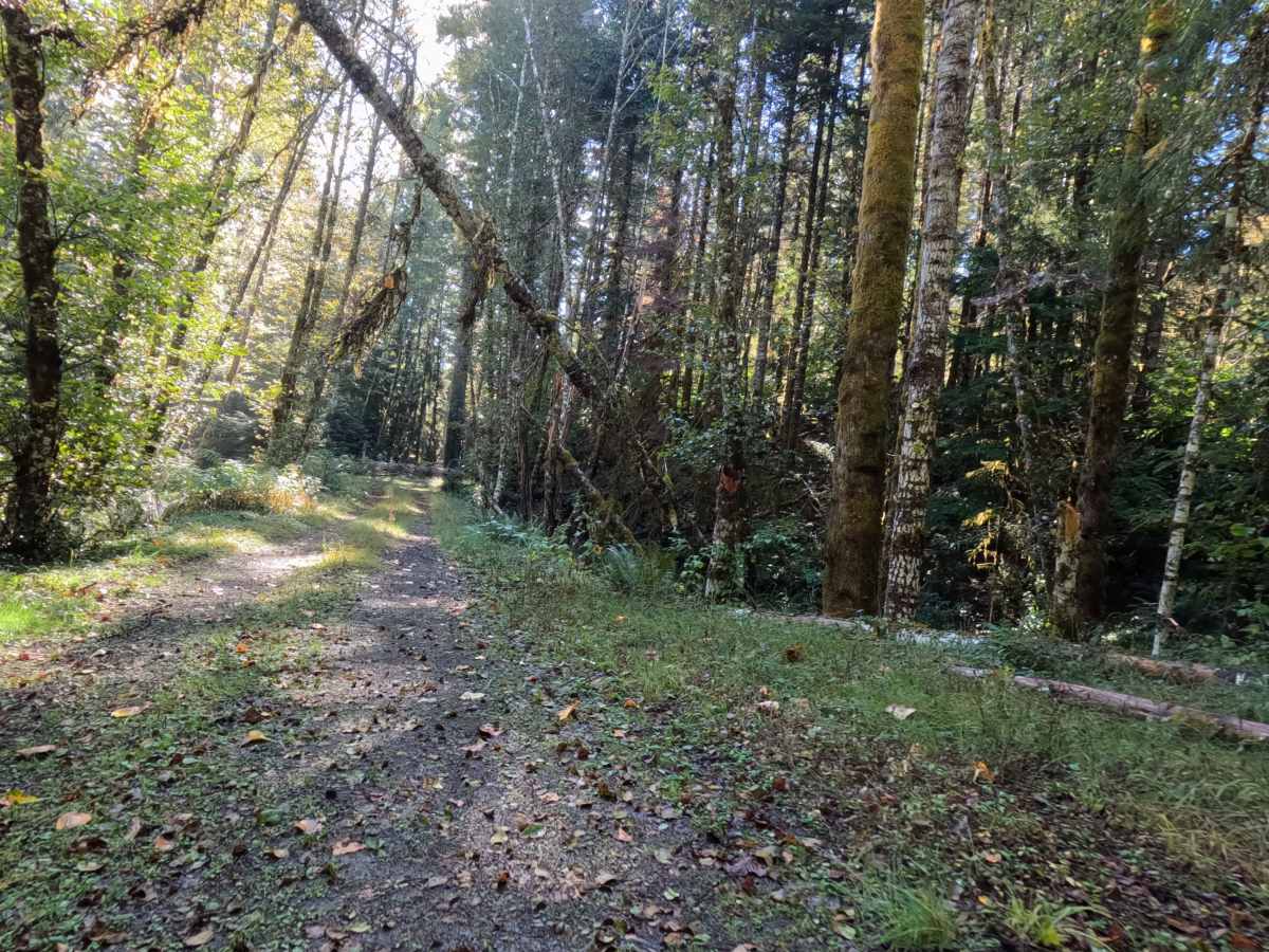
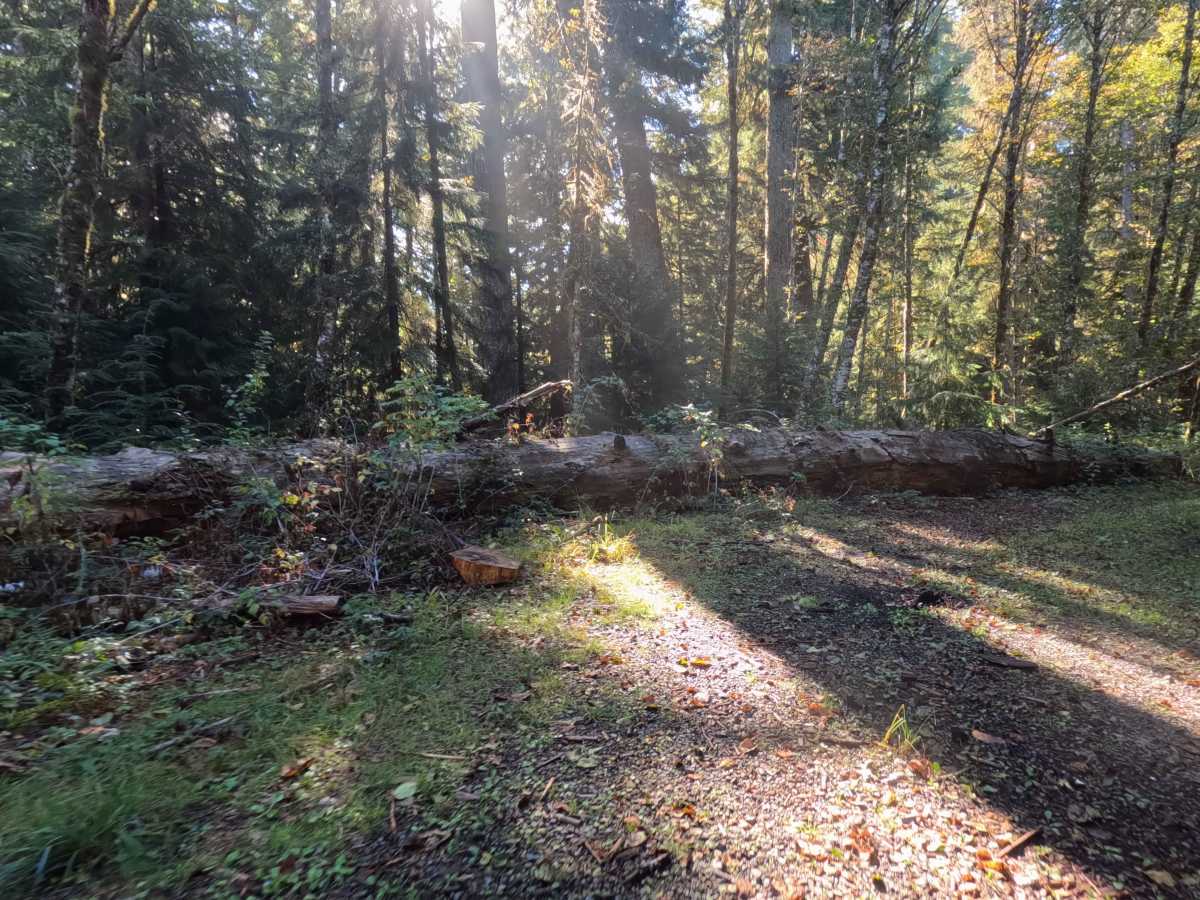
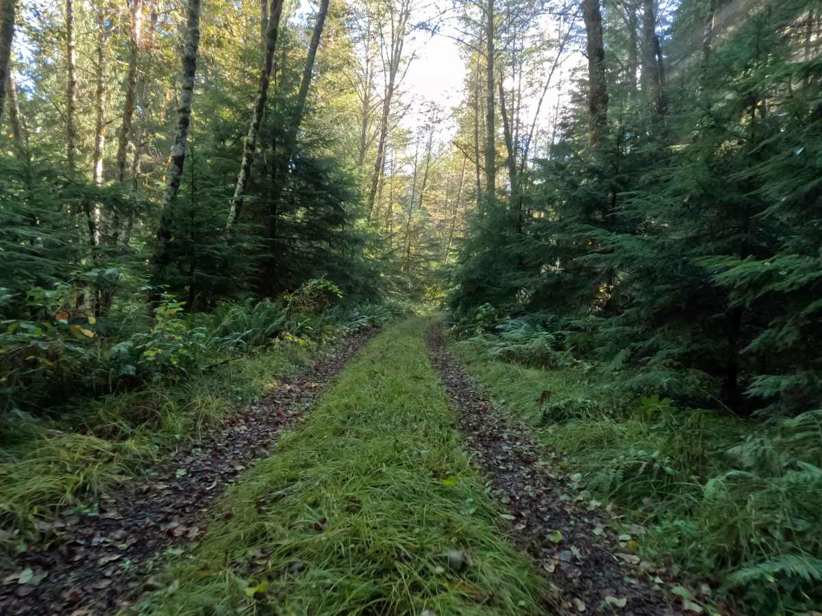
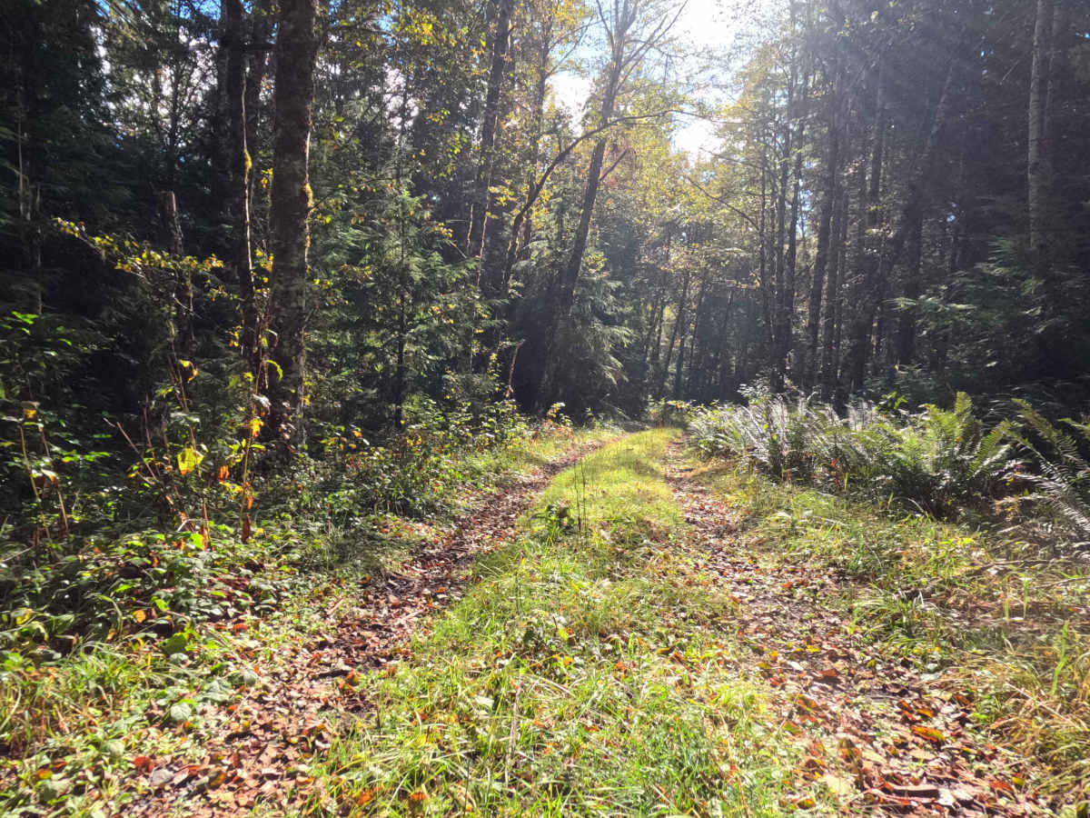
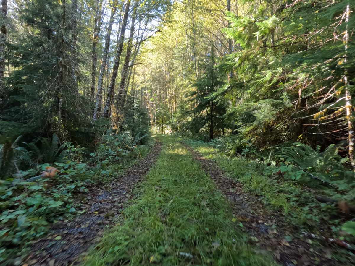
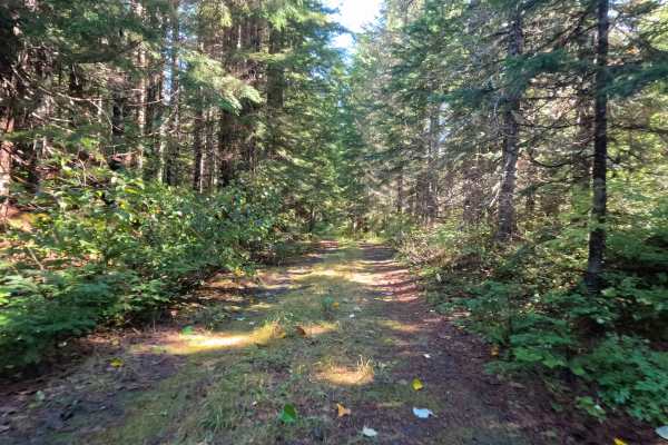
Tucked deep within the lush, verdant timber of the Gifford Pinchot National Forest, FS 8322700 serves as a highly secluded, out-and-back woodland spur that steadily drops down toward the Muddy River. The surrounding environment is characterized by a towering, dense evergreen canopy and a thriving, aggressive understory that actively encroaches on the unmaintained pathway. Intrepid outdoor explorers and backcountry anglers occasionally venture down this fading route to seek absolute isolation or to access the remote river drainage hidden below. The driving surface consists of a remarkably tight, natural forest floor two-track that secures a moderate Grade 2 difficulty rating due to extreme overgrowth rather than technical terrain features. Pushing down this forgotten corridor is a slow, methodical journey; thick ferns, low-hanging branches, and creeping vegetation completely blanket the center median and shoulders, virtually guaranteeing continuous vehicle pinstriping. Ultimately, the short 0.8-mile drive concludes as the rugged trail is swallowed by the surrounding nature and scattered deadfall, requiring visitors to carefully execute a tight turnaround and reverse course out of the thick brush.
Difficulty
Assigned a moderate Grade 2 difficulty rating, this fading forest spur presents a structurally basic driving line that is heavily compromised by severe overgrowth. Extreme technical off-road hurdles—such as deep, impassable mud pits, intimidating rock crawls, or steep shelf drop-offs—are entirely absent from the descent. Instead, the primary driving challenge is the incredibly restricted lane width and the natural, unmaintained forest floor tread. Thick vegetation and encroaching branches constantly scrape against the vehicle, making a slow, deliberate crawling speed absolutely essential to safely roll over hidden forest debris and minimize exterior body damage. While the underlying dirt foundation is generally stable in dry conditions, modest ground clearance is highly recommended to comfortably clear the leafy center median and navigate over small, scattered branches without risking undercarriage snags.


 Offroad