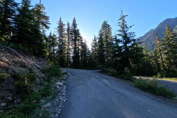
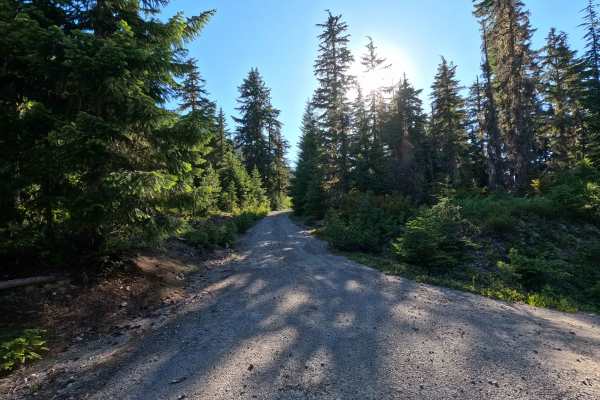
Trail Overview
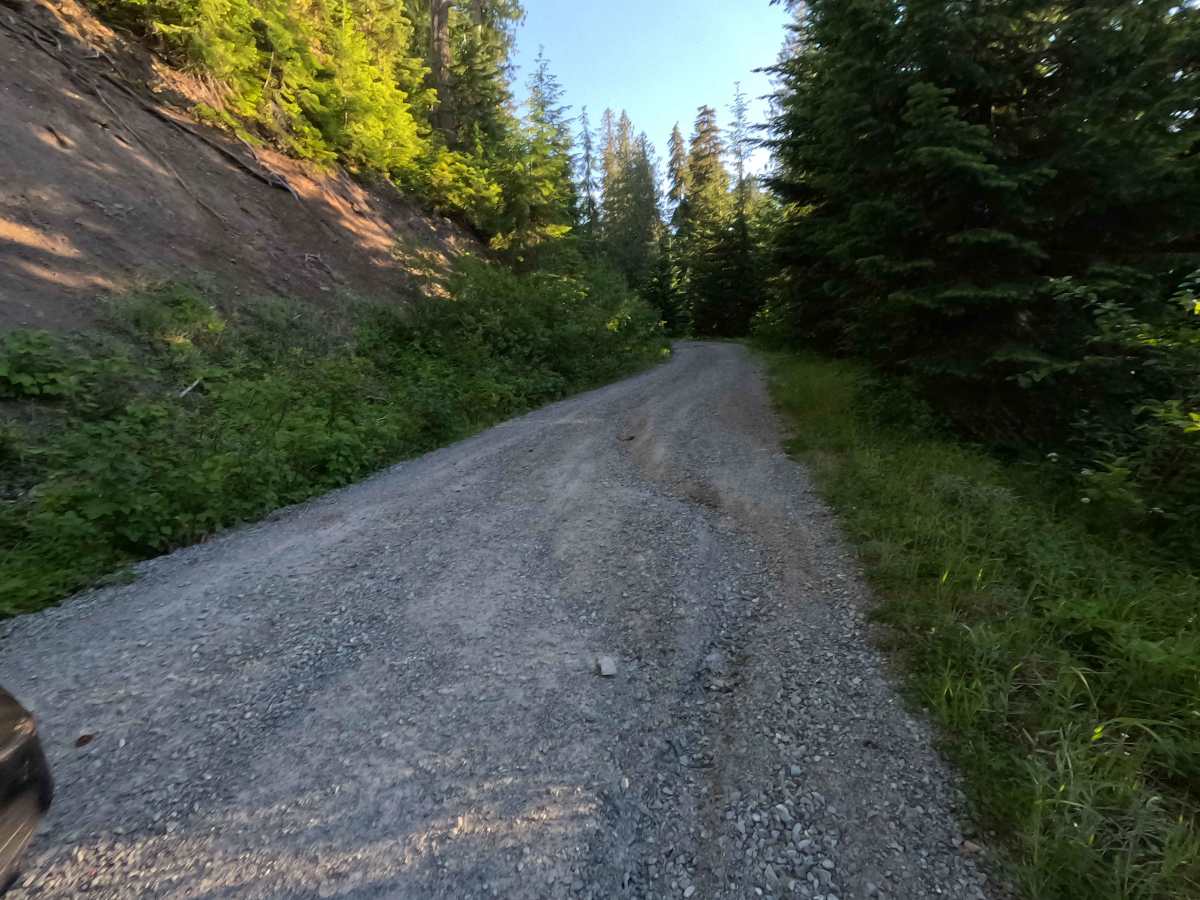
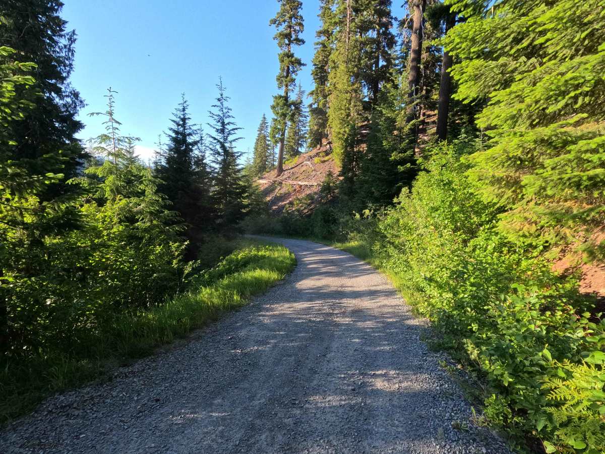
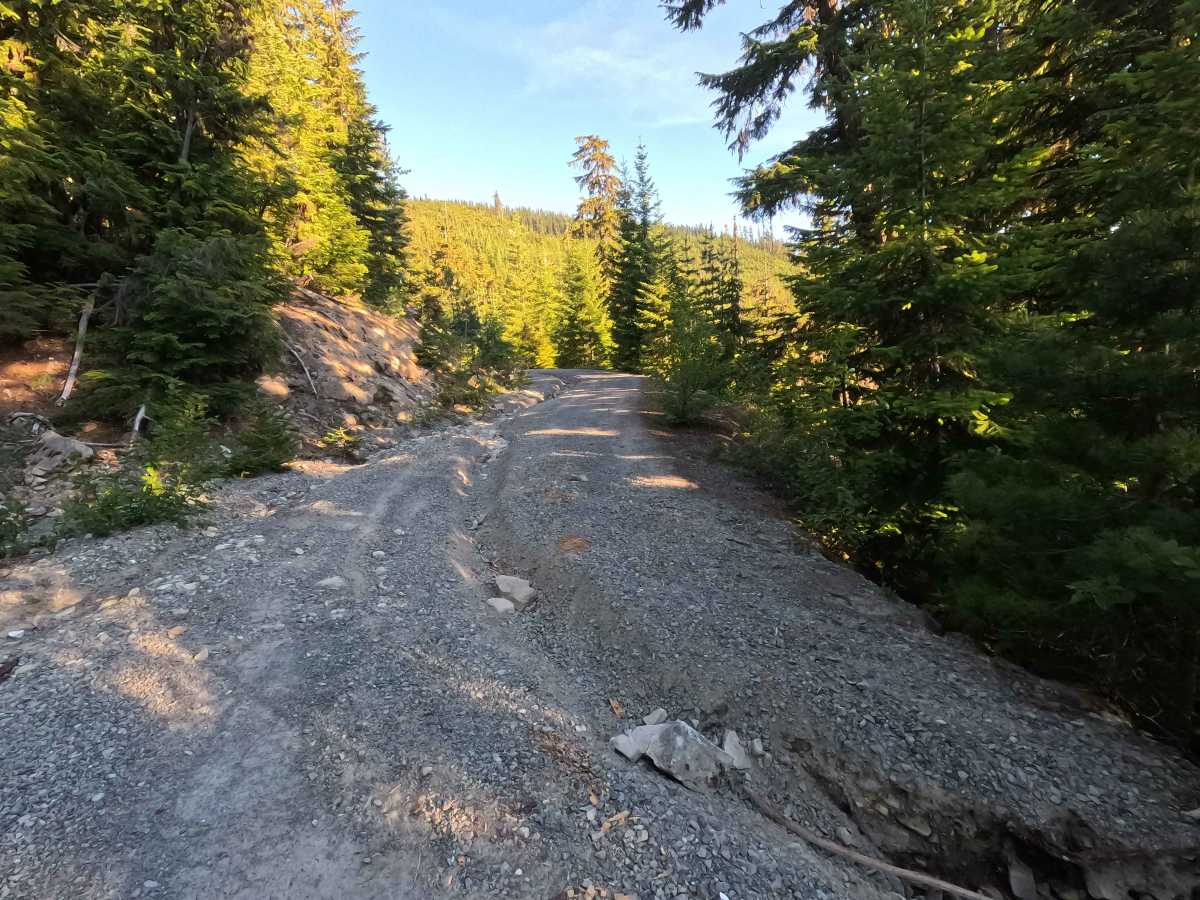
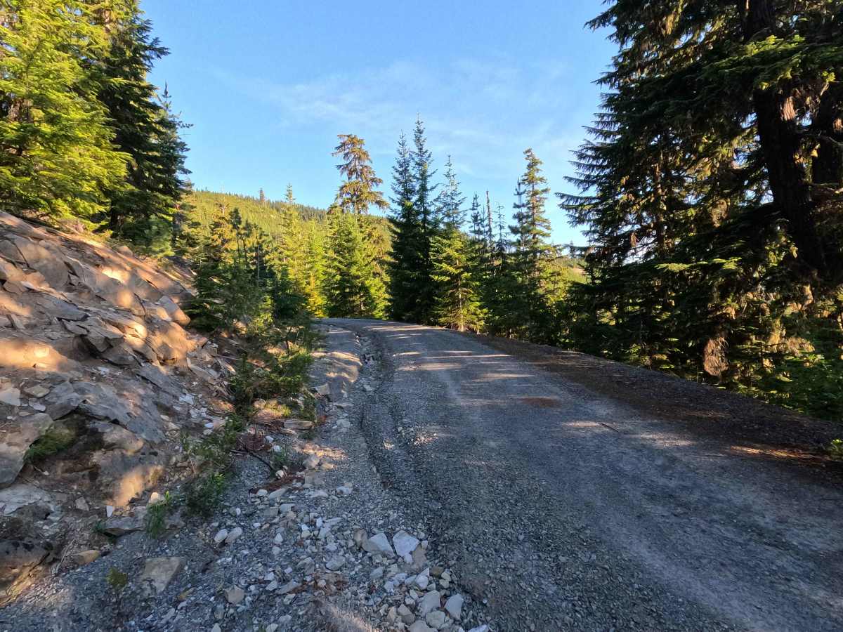
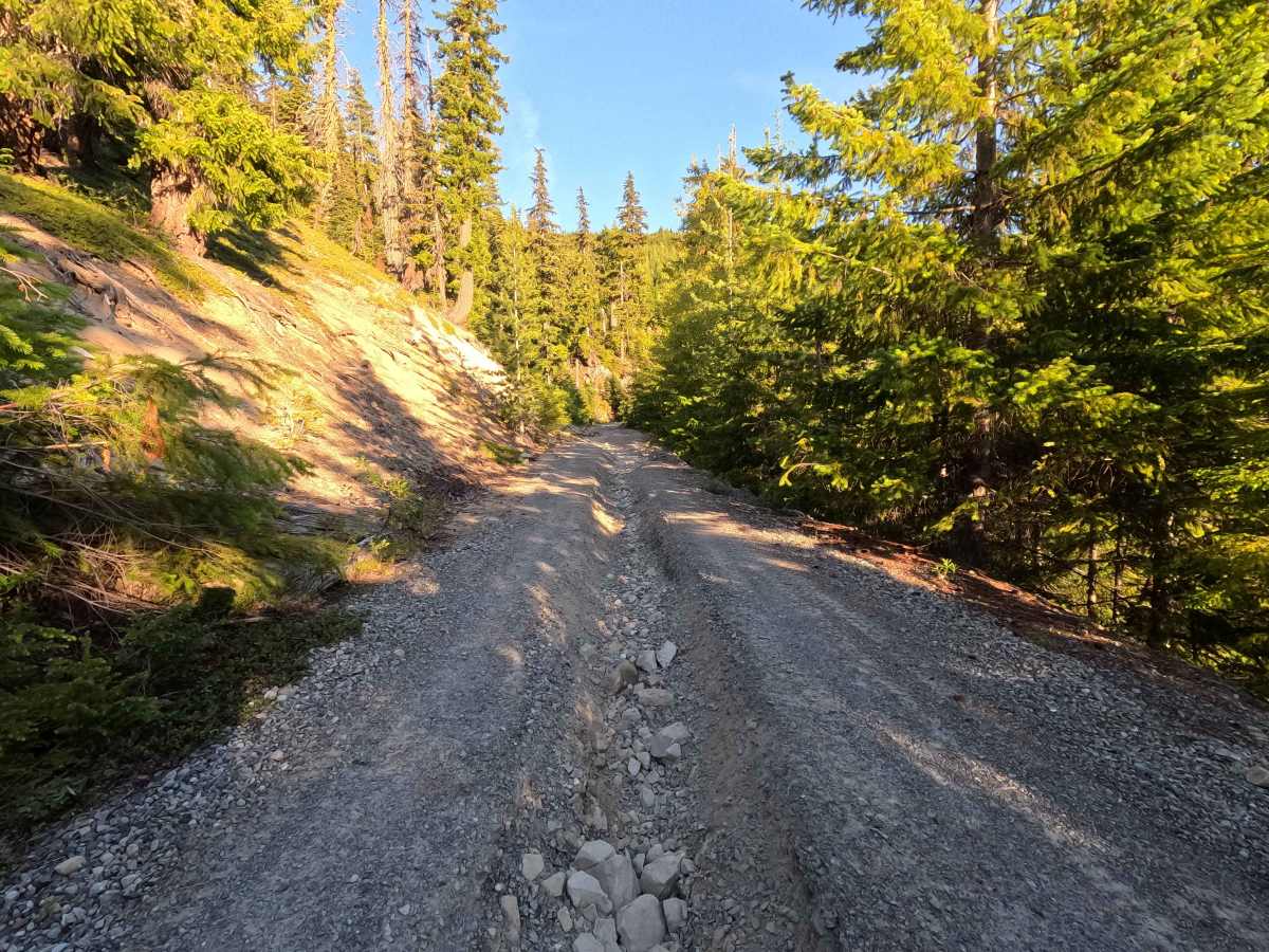
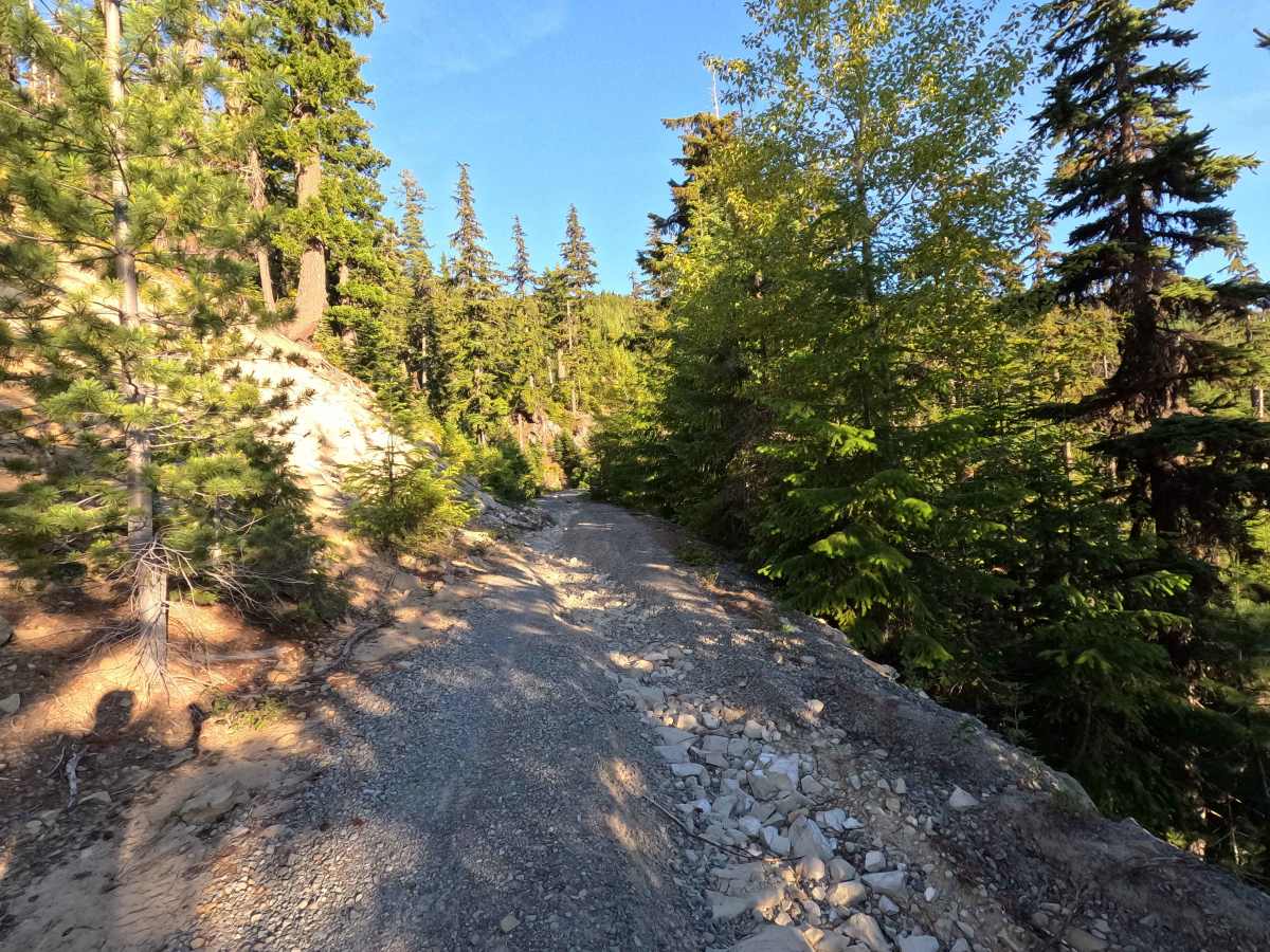
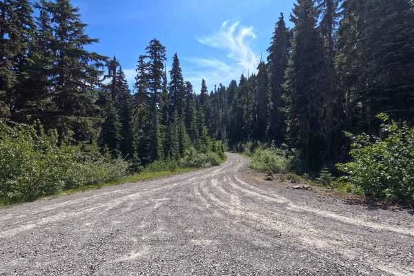
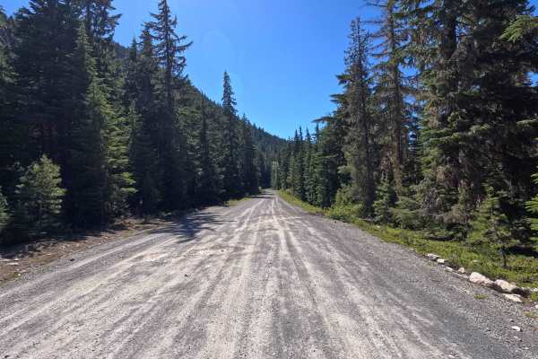
No Name Basin is a 3.9-mile out-and-back route that follows a single-lane gravel road into a remote section of the Okanogan-Wenatchee National Forest. The road is heavily impacted by water damage and significant rutting, requiring careful driving throughout much of the route. A narrow section created by a rockslide is encountered near mile 1.8, and brush encroachment steadily increases farther up the trail. On clear days, drivers are rewarded with views of Mount Rainier through openings in the trees. The road formerly continued beyond the intersection with No Name Creek Spur (FS 4617124), but that section is now closed. Beyond the intersection, brush encroachment becomes severe, and the route gradually transitions into a primitive corridor. A pullout near mile 2.5 provides a convenient turnaround point before conditions deteriorate further.
Difficulty
No Name Basin is a difficult route best suited for high-clearance 4WD vehicles. Significant rutting and water damage create multiple obstacles that can be problematic for lower-clearance vehicles. The narrow rockslide section near mile 1.8 requires careful tire placement, while increasingly heavy brush encroachment creates a substantial risk of vehicle damage farther up the trail. Beyond the No Name Creek Spur intersection, the route becomes borderline impassable due to vegetation growth and narrow shelf road conditions. Narrow vehicles have a significant advantage, and full-size rigs should expect heavy pinstriping if they continue past the recommended turnaround. Drivers are encouraged to turn around at the pullout near mile 2.5 to avoid unnecessary vehicle damage. As with most trails in the area, bringing a chainsaw or equipment to clear fallen trees is recommended.