Trail Overview
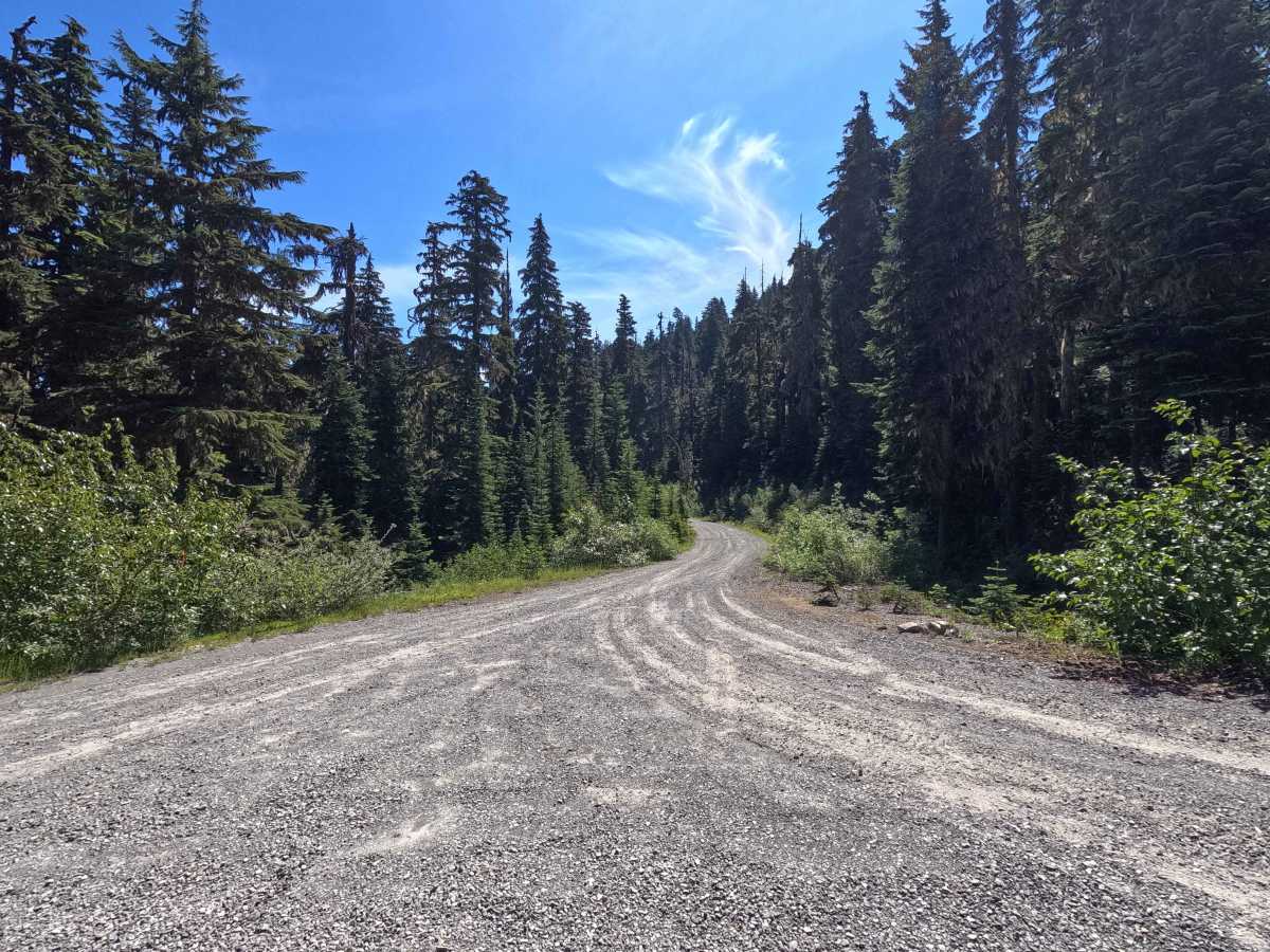
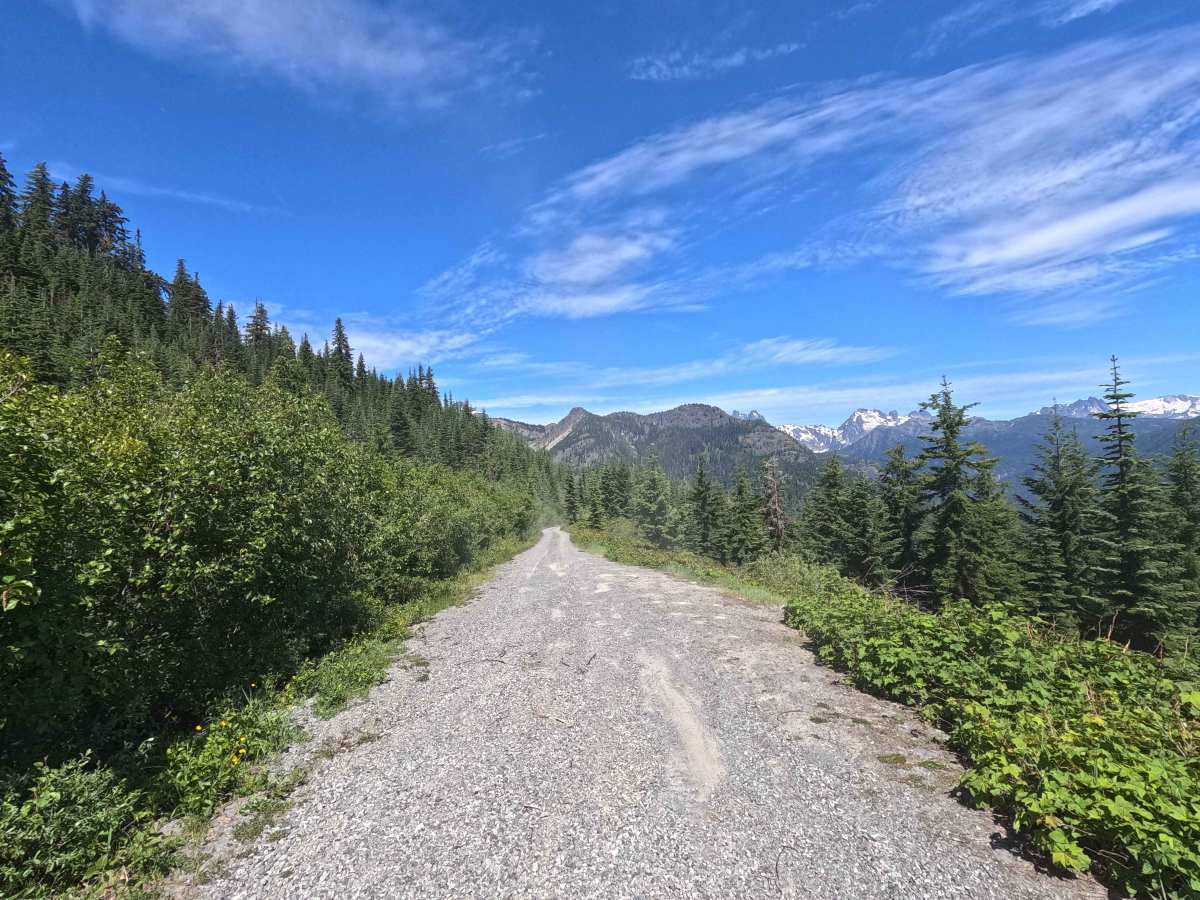
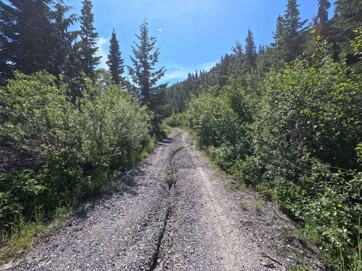
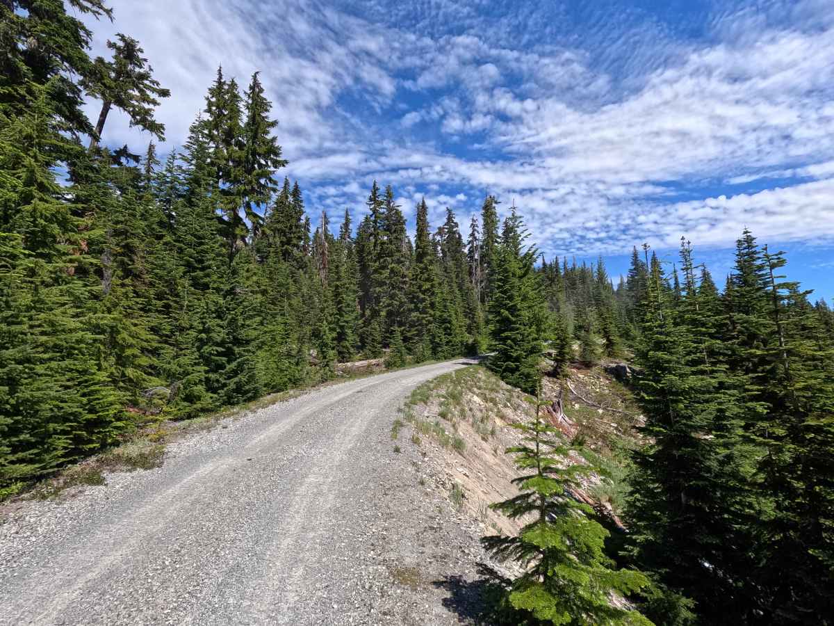
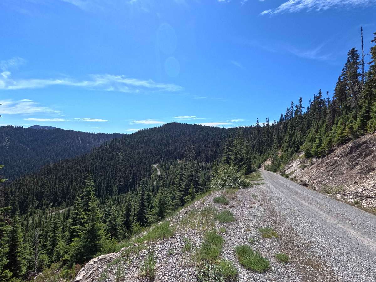
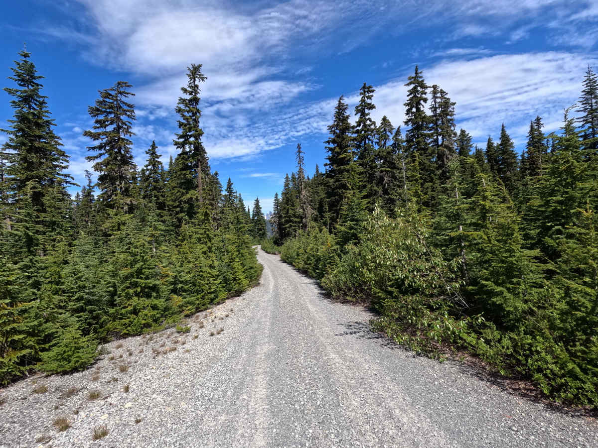
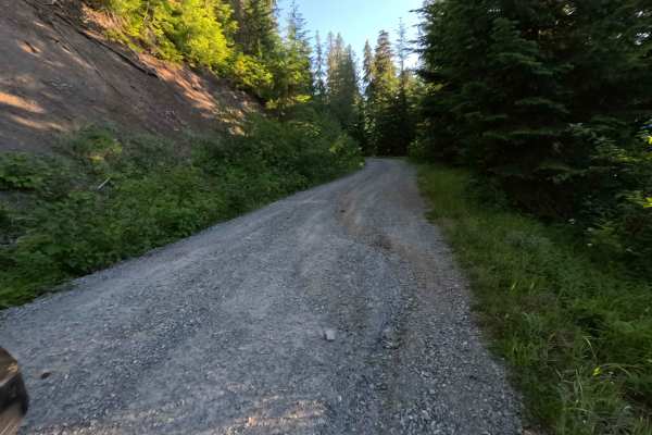
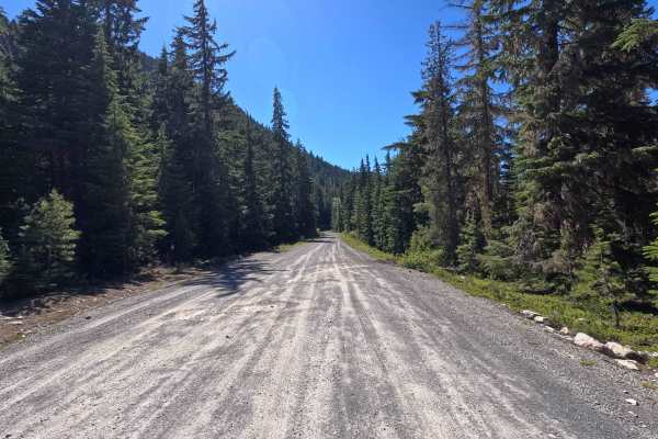
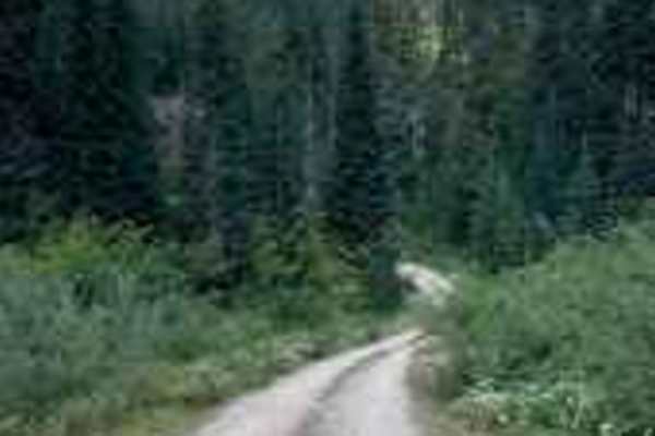
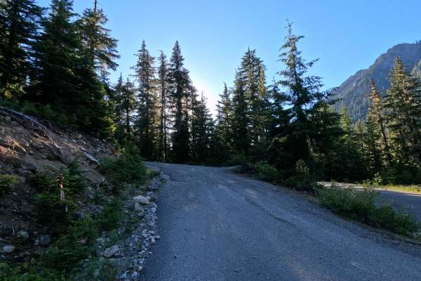
Tumble Creek is a 3.0-mile out-and-back route that follows a single-lane gravel road through forested mountain terrain. Historically, the route began from an earlier intersection with No Name Basin, but that section has become heavily overgrown and is no longer passable. The current route reflects the only practical vehicle access. The road follows a shelf along the mountainside and offers views of the North Cascades through breaks in the trees as it climbs. Mt. Rainier can also be spotted on clear days. While some rutting, potholes, and mild overgrowth are present, the road remains relatively smooth overall. Near the end of the route, visitors will find a large, shaded dispersed campsite with a nearby viewpoint. The road ends at a small gravel turnaround and the Kachess Ridge trailhead.
Difficulty
Tumble Creek is an easy-to-moderate route suitable for most high-clearance vehicles. The primary obstacles are occasional rutting, potholes, and mild brush encroachment, none of which are particularly difficult in dry conditions. The shelf road sections may feel exposed in places, but the road surface remains generally smooth and well-defined. Drivers should exercise caution around potholes and erosion features, particularly after storms or spring runoff. As with most trails in the area, bringing a chainsaw or equipment to clear fallen trees is recommended.