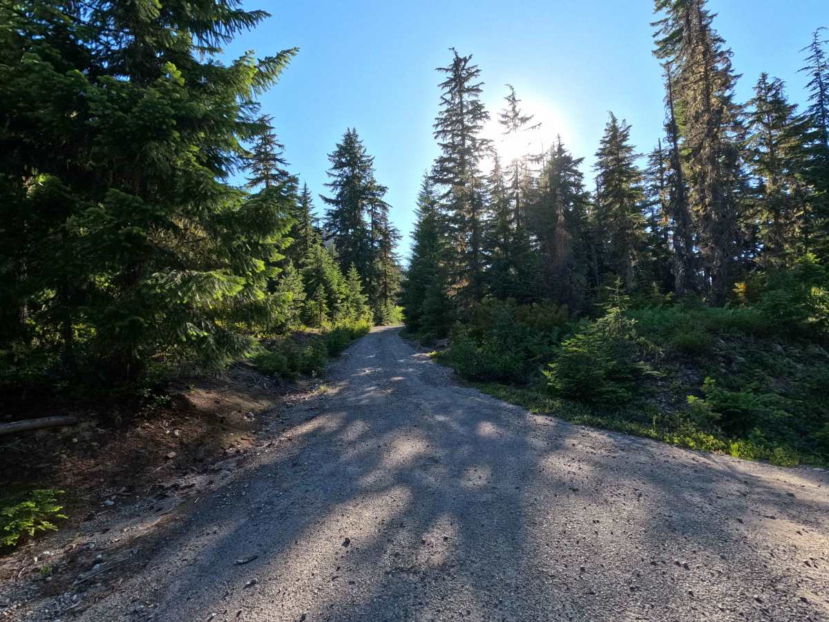
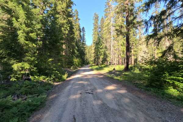
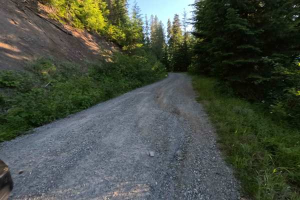
Trail Overview
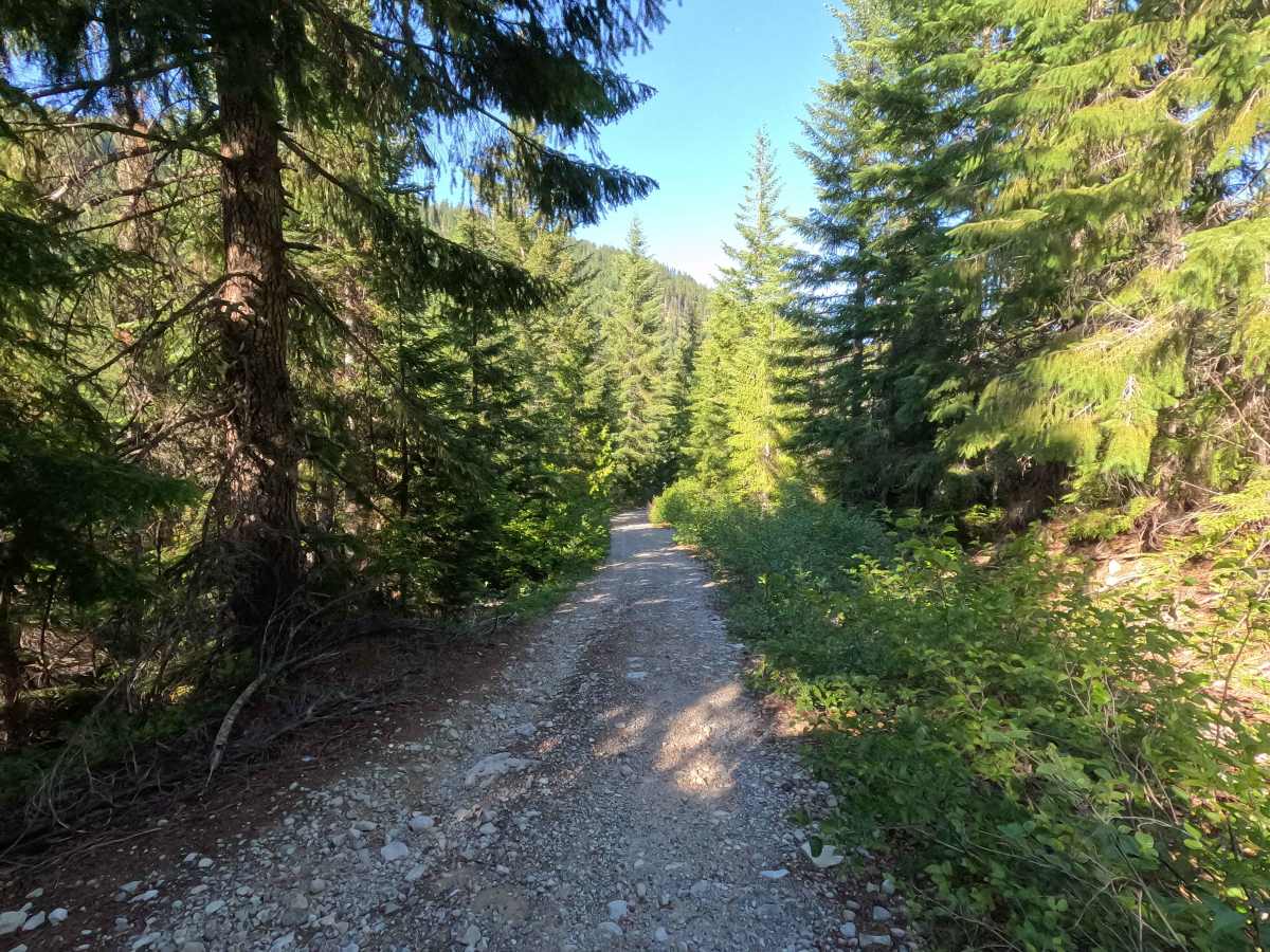
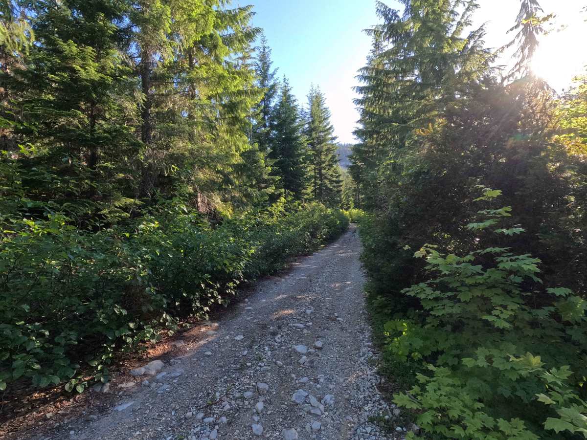
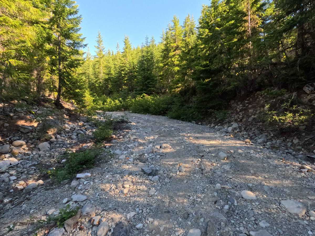
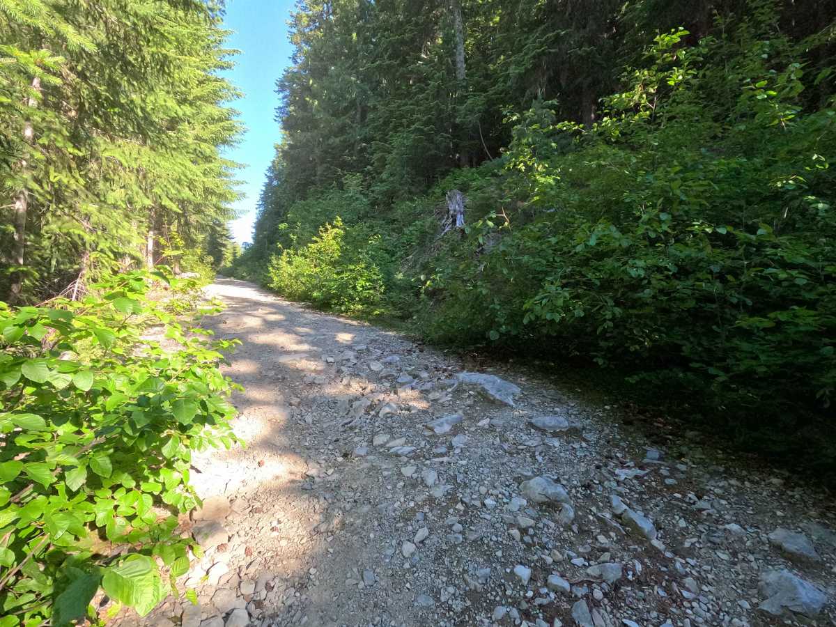
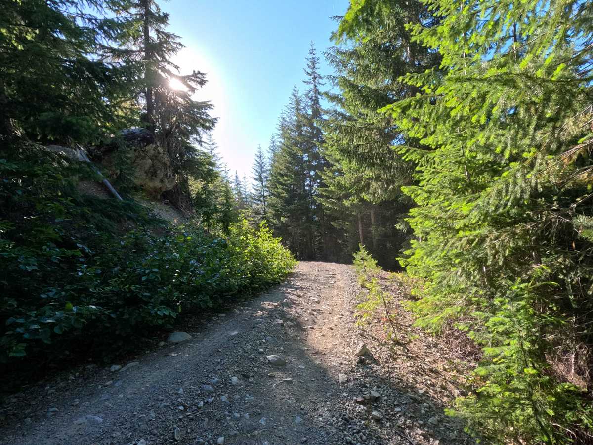
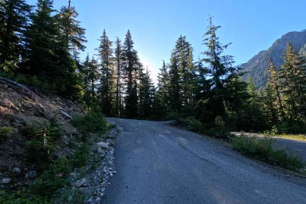
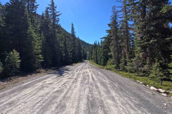
Red Mountain is a 2.8-mile out-and-back route that climbs through forested terrain on a rough single-lane road. The route is characterized by a rocky surface, increasing brush encroachment, and occasional sections of loose rock that require careful driving. Two small but passable washouts are encountered near mile 2.6. The road narrows considerably in places, giving it a more remote feel than many nearby forest roads. The route formerly continued farther into the mountains but is now blocked by significant overgrowth. It ends at a small turnaround area near the road's terminus, though the site is uneven and not well-suited for camping.
Difficulty
Red Mountain is best suited for high-clearance vehicles. The rocky road surface, loose rock, narrow trail corridor, and brush encroachment require drivers to pay attention to both tire placement and vehicle width. The small washouts near mile 2.6 are easily passable but add to the overall rough character of the route. Full-width vehicles should expect some pinstriping, particularly in the upper portions where vegetation crowds the roadway. While the trail lacks major technical obstacles, the rough surface and increasingly overgrown conditions make it more challenging than a typical forest road. As with most trails in the area, bringing a chainsaw or equipment to clear fallen trees is recommended.