Trail Overview
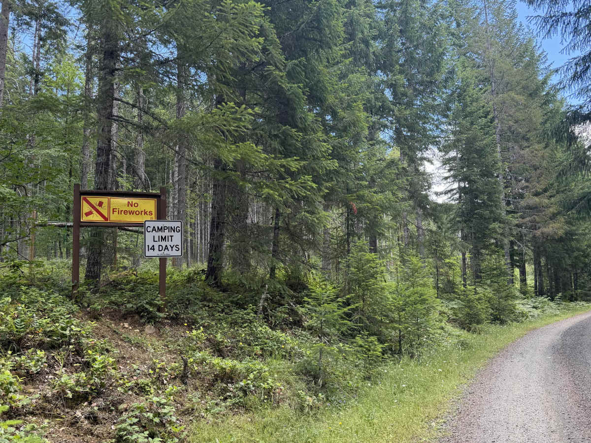
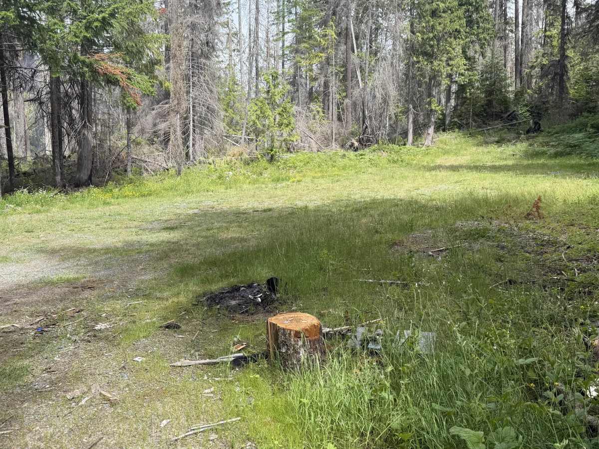
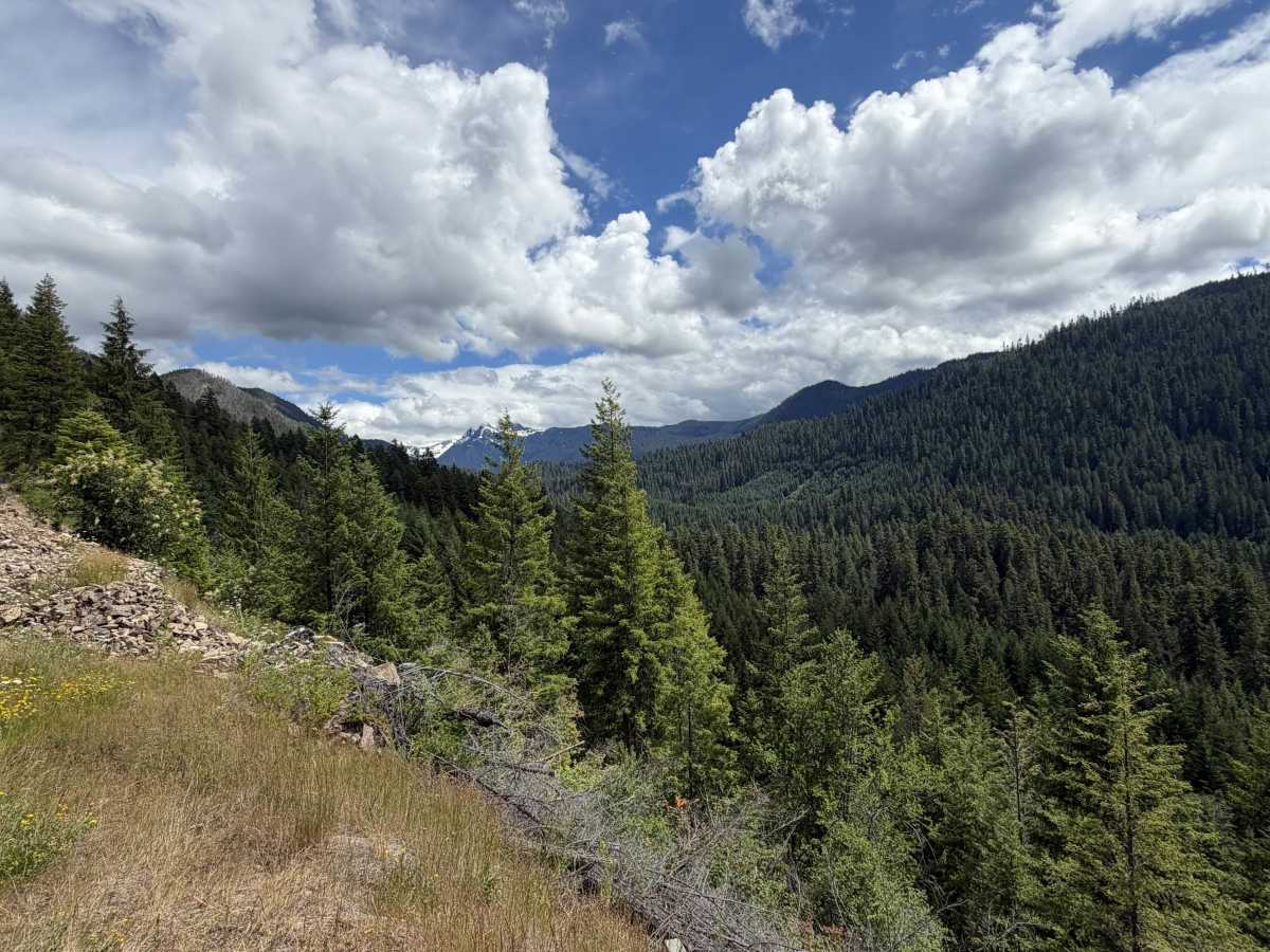
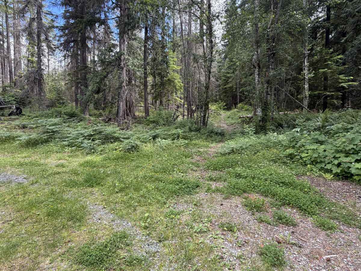
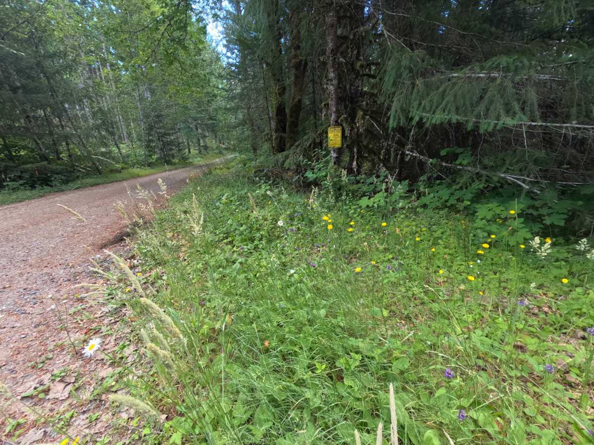
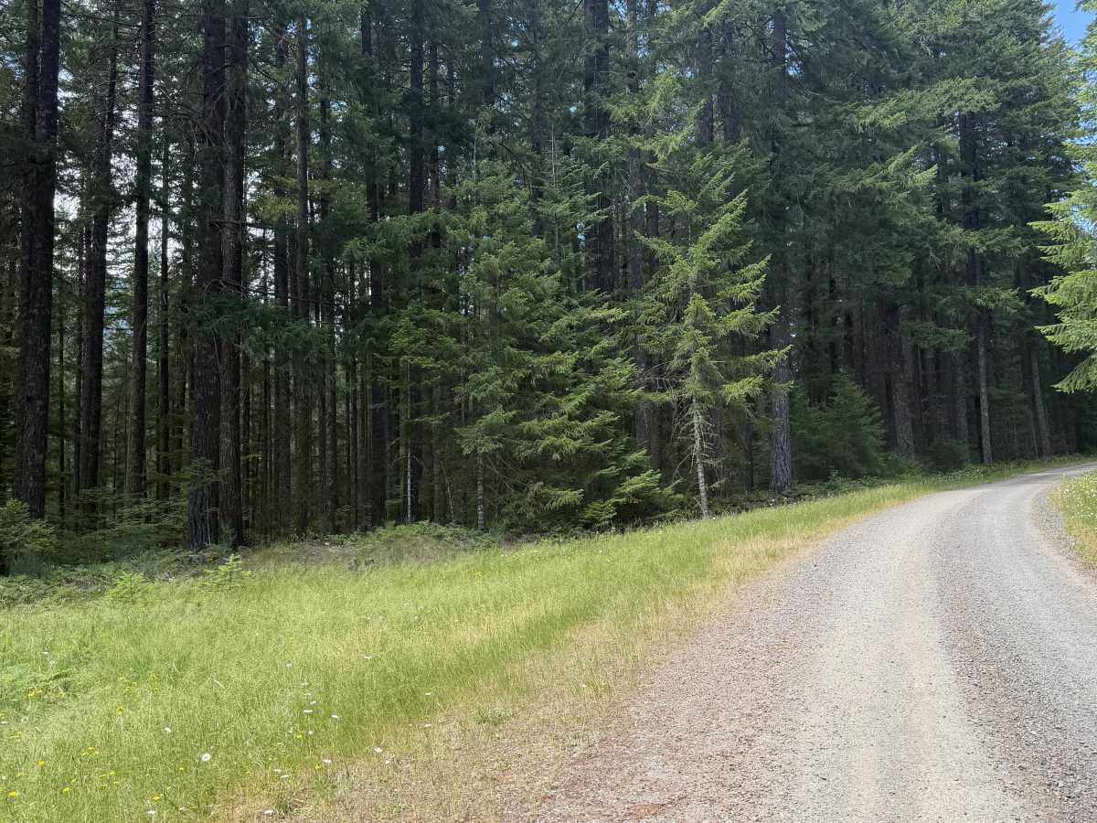
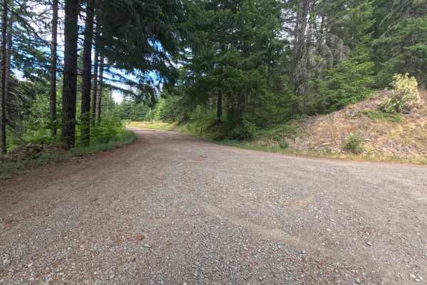
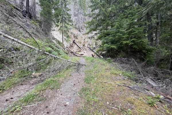
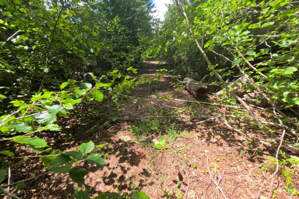
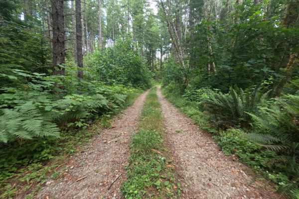
Lake Creek (FS 1266000) leaves Highway 12 beside a house and climbs gently up a wide, nicely maintained single-lane gravel road, opening with a 'caution burned area' sign. The grade is easy and the potholes minimal as it winds up through forest that is open enough to see into, passing dispersed camps at 0.5 and 3.3 miles, the latter a wide, flower-filled clearing with room for many vehicles. The driving stays easy throughout, with only a washed rut and some small rocks around 4 miles that any vehicle can manage. The scenery peaks near 5.4 miles, where the road rounds a wildflower-lined cliff edge to dramatic, clear views of Hawkeye Point, Knifes Edge, and Old Snowy at the head of the Goat Rocks Wilderness. It ends around 6.34 miles at the abandoned Three Peaks trailhead, an overgrown spot that sees little traffic; the road beyond is abandoned, though a narrow hiking path continues toward Goat Rocks. It is a scenic, isolated drive that is easy the whole way.
Difficulty
Despite its length, the road holds an easy, gentle grade on wide, nicely maintained gravel with minimal potholes, and the only rough spot, a washed-out rut with small rocks around 4 miles, is manageable for any vehicle. It stays comfortable and accessible all the way to the abandoned trailhead at its end.