Trail Overview
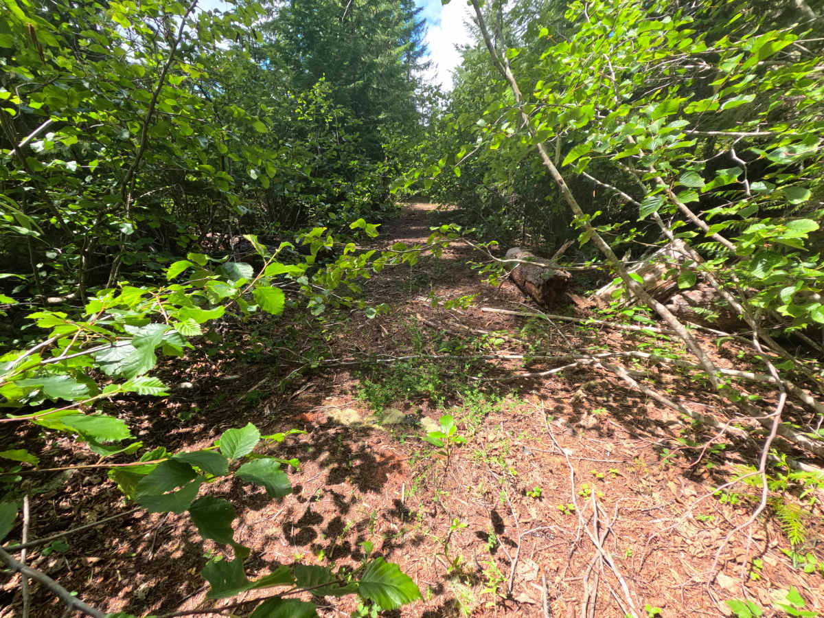
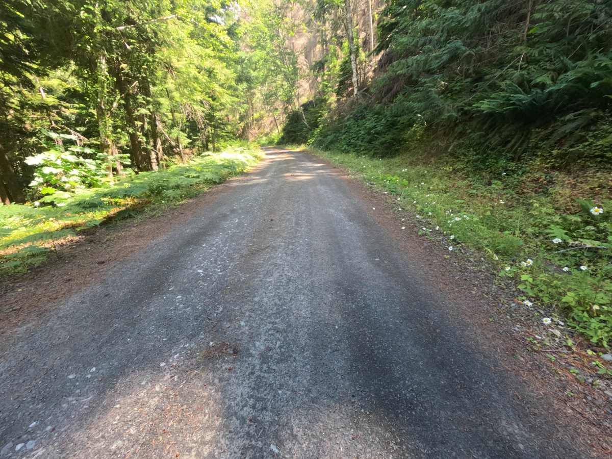
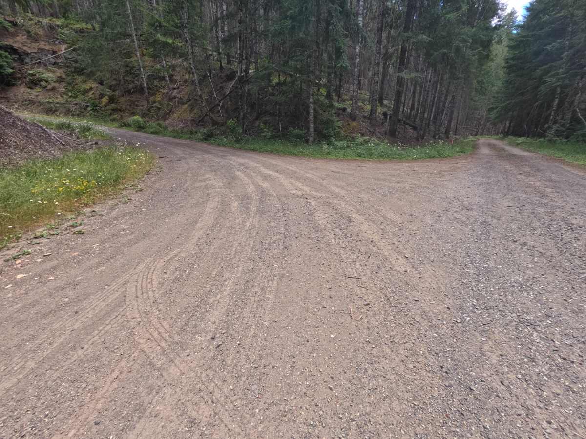
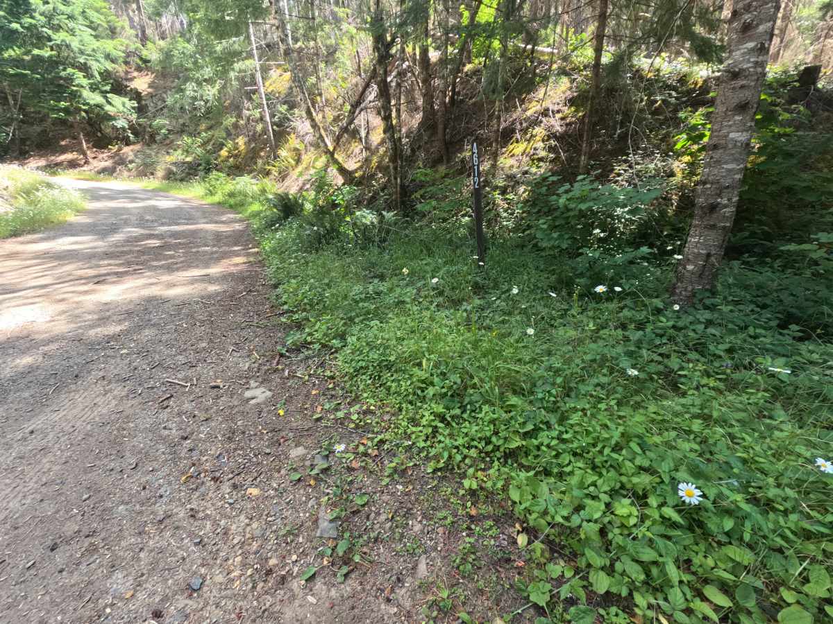
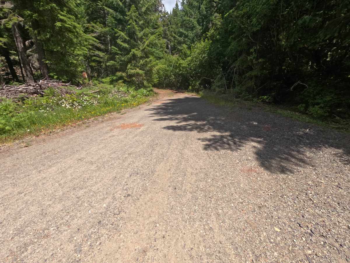
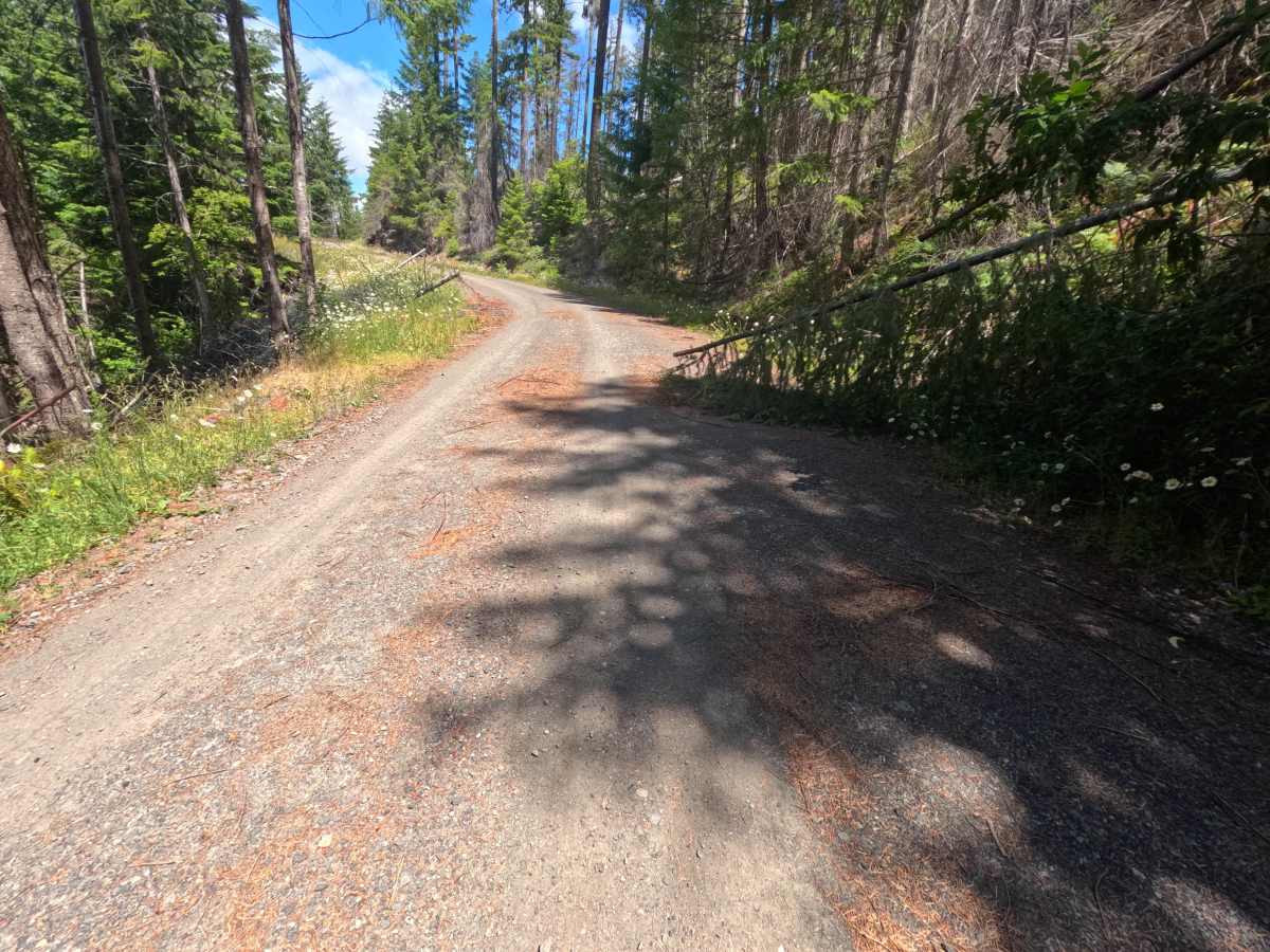
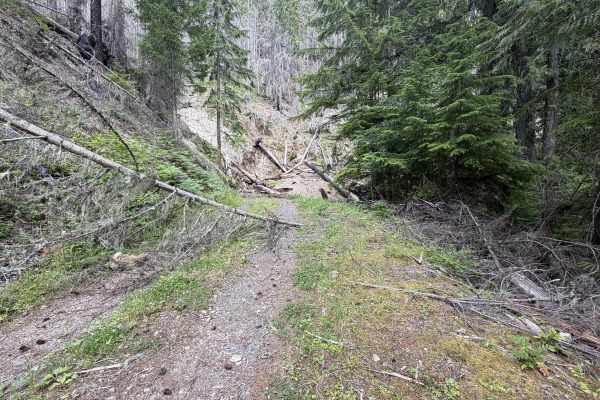
Bluff (FS 4612000) is a smooth gravel spur off the left of the main road that climbs around the base of the mountain and stays well-maintained thanks to regular traffic heading up to the Bluff Lake trailhead. Early on, a turnout camp appears at 0.4 miles, and by about 1 mile views of Mount Rainier open along the left-hand cliff, with a particularly beautiful south/southeast outlook from a turnout camp at 1.2 miles. A few downed trees reach halfway across the wide road but are easy to get around. At 2.6 miles, the road reaches the Bluff Lake trailhead, a gateway into the Goat Rocks area, with parking for three to five vehicles, an info board, and a well-traveled hiking path. The drive is easy all the way to this point. Although the map shows the road continuing, past the trailhead it clearly drops to little use, growing overgrown with older trees and brush until, about 0.1 miles farther, it becomes impossible to continue without serious body damage. The trailhead is the place to stop.
Difficulty
Up to the Bluff Lake trailhead, the road is smooth, well-maintained gravel with gentle grades, kept in good shape by regular traffic; the only obstacles are a few downed trees that reach halfway across the wide road and are easily skirted. It is an easy drive for any vehicle to that point, beyond which heavy overgrowth, rather than terrain, makes it impassable.