Trail Overview
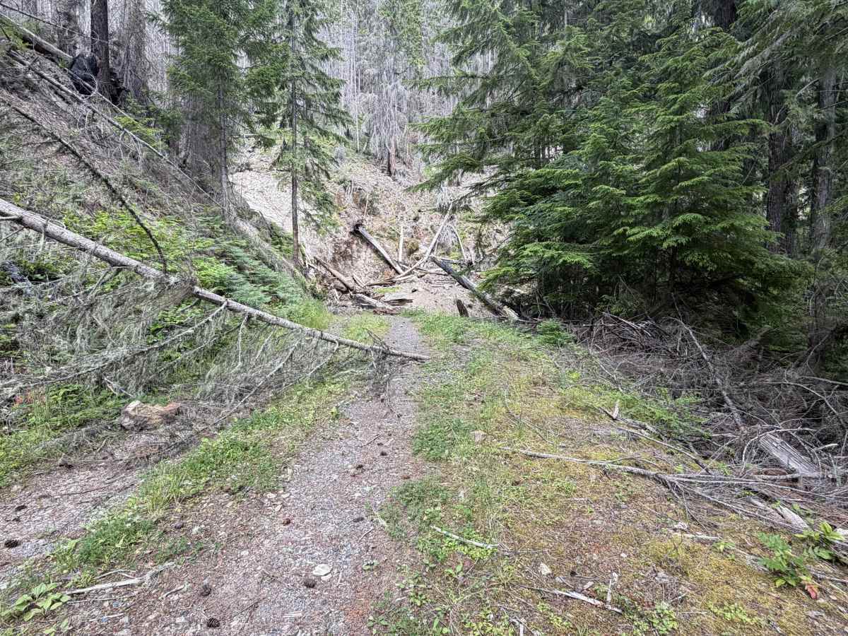
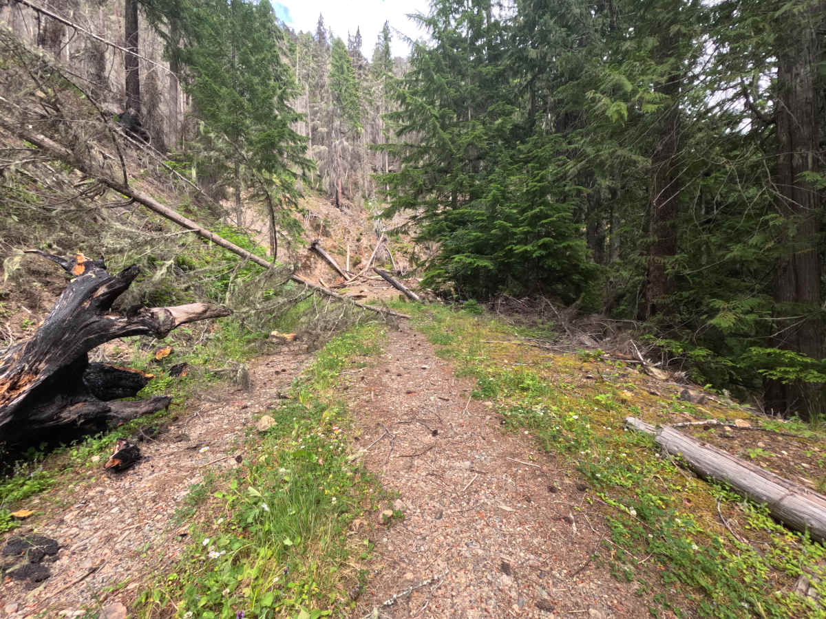
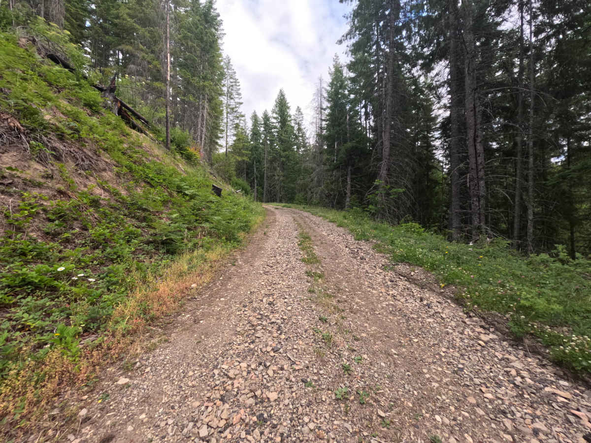
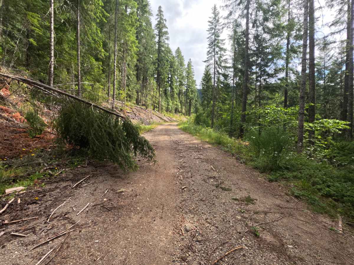
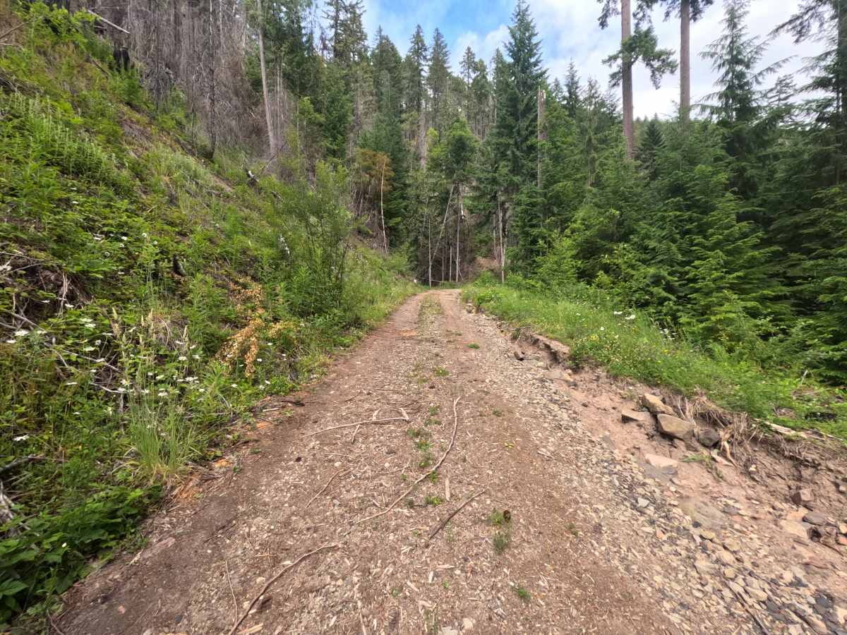
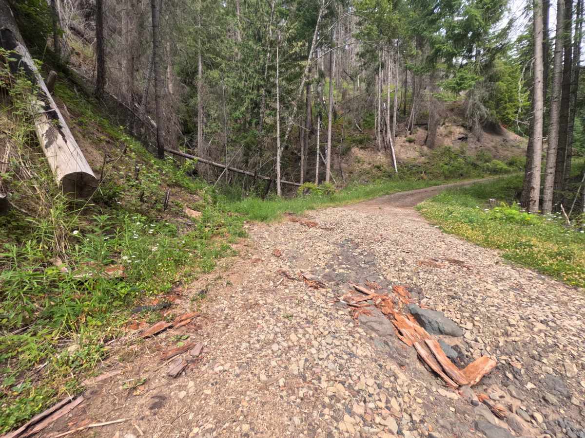
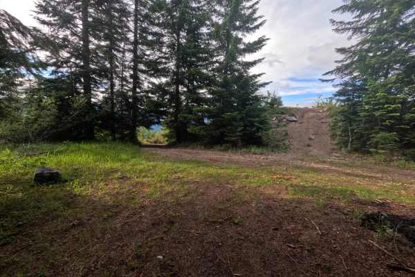
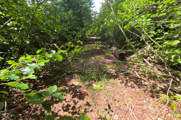
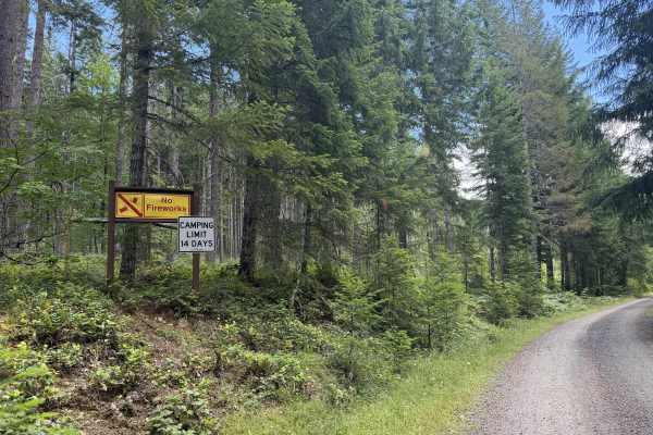
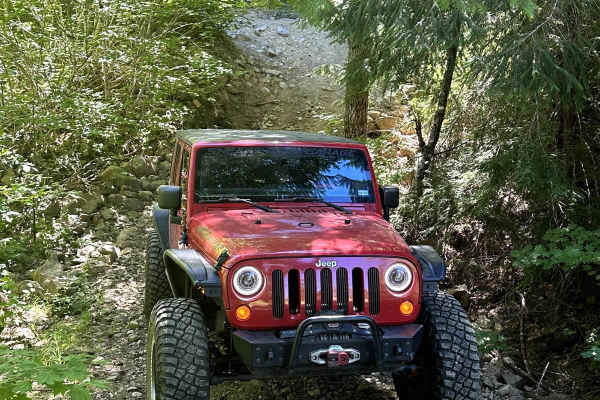
Last (FS 1266041) spurs off the main road to the right onto a narrow single-lane gravel surface that starts out smooth and clearly well-traveled, with only a couple of downed trees reaching in from the sides that are simple to maneuver around. The easy character holds until about 1.2 miles, where the road grows washed and rocky and then opens onto a completely washed-out section at a turn. The damage there is extreme enough to be impassable for any vehicle, and because there is no turnout at the washout itself, turning around just before it is the safe move. Many logs have washed down to this endpoint from a prior burn in the area, underscoring how much erosion has reshaped the upper road. The easy lower stretch is the only drivable part.
Difficulty
The drivable lower portion is smooth, well-traveled gravel with only a few easily maneuvered downed trees, an easy drive in itself. The rating reflects the washed, rocky approach near 1.2 miles; the complete washout beyond is impassable to all vehicles and marks where to turn around rather than a section to attempt.