Hager Lake to Packwood Lake

Total Miles8.9
Technical Rating
4Moderate
Best TimeSpring, Summer, Fall
Trail TypeHigh-Clearance 4x4 Trail
Accessible By
Open Trail Map

Trail Overview

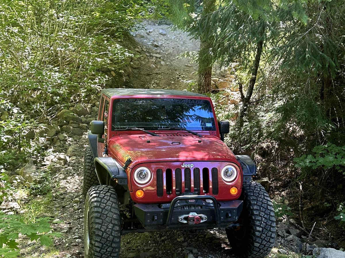
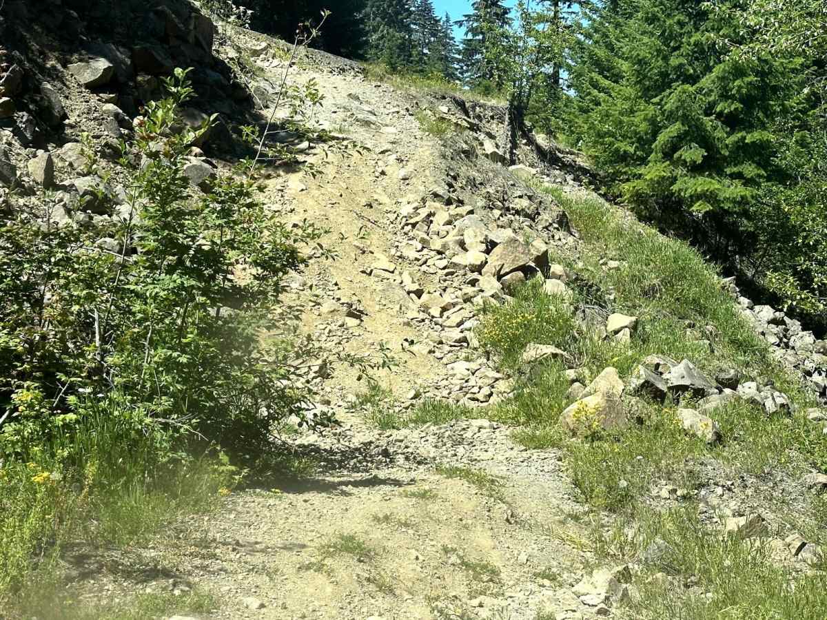
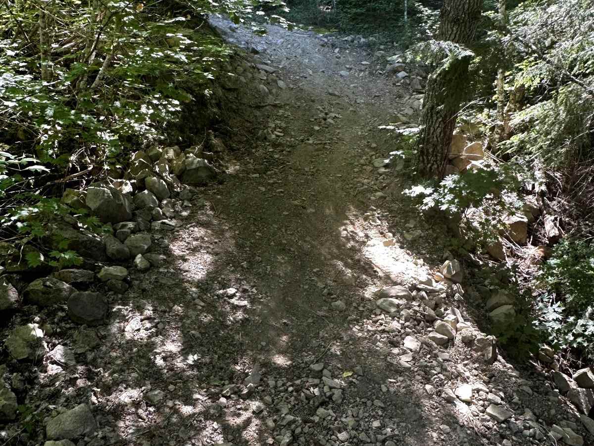
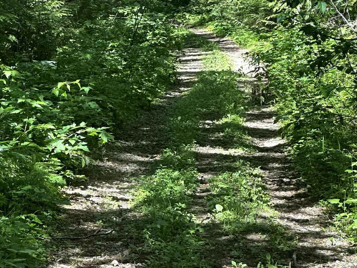
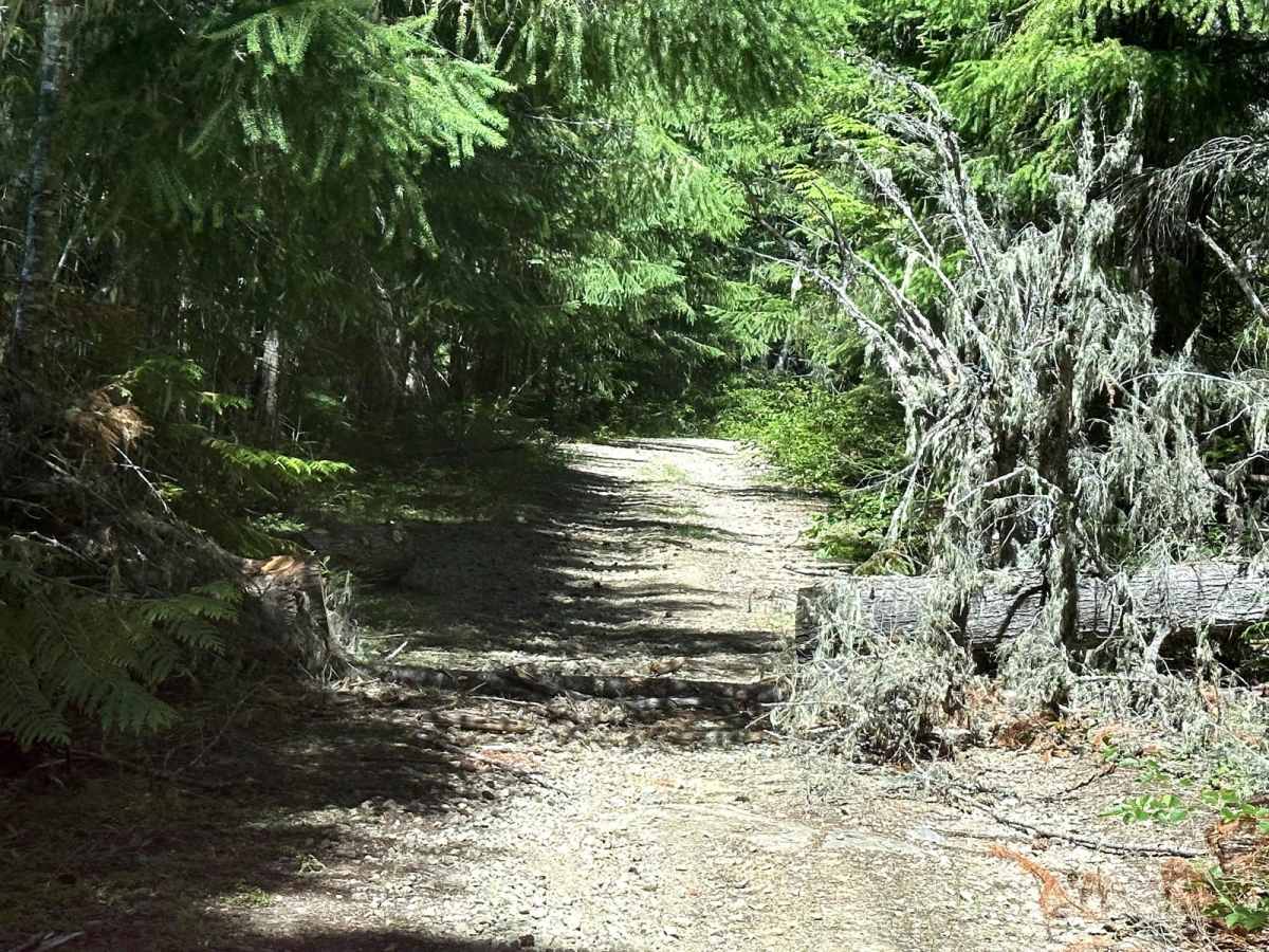
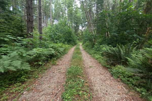
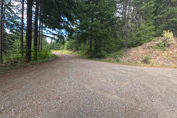
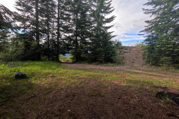
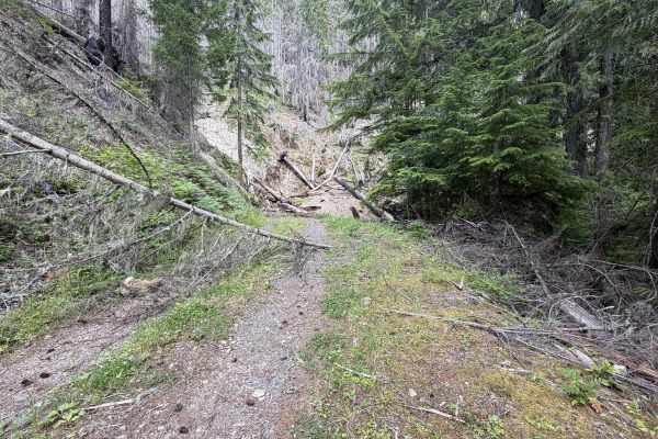
This 9-mile point-to-point trail connects the Hager Creek Trail and the road to Packwood Lake Trailhead. The entrance off of Hager Creek Trail is a short, steep descent with loose dirt and rocks up to 18 inches in height. Once past this obstacle, there is another one with a short, steep climb. These obstacles were created a few years ago after a large washout event on this trail. The remainder of the trail is single-vehicle and overgrown, and there's a possibility of pinstriping. This trail also passes two small lakes, Hager Lake and Art Lake. There are also several areas for dispersed camping along this trail.

Photos of Hager Lake to Packwood Lake

Difficulty

The Hager Lake end of this trail is washed out and has 2 steep grades with obstacles up to 18 inches in height. The remainder of the trail is single-vehicle and has mud holes less than 12 inches in depth.

Technical Rating

4

Status Reports

Add Status Report
Fox Jefferson
Aug 17, 2024
Open
NormalDustyRough/Deteriorated
The start of the trail has a steep descent down with very loose dirt and gravel. The washout is just after, I made it up first try in stock 5th gen 4runner. Good tires should be all you need. After that, the trail is fairly easy. Shortly in to the trail you come across an area with a couple of springs. The ground is very soft and can be muddy in some spots. A few spots along the trail, mostly towards the end, with very deep potholes and uneven ruts.
chris parry
Aug 15, 2024
Obstructed
Washout
We made it through the washout at the beginning. Definitely need lockers and possibly a winch but the trail was nice the rest of the way
Dana Salsman
May 26, 2024
Obstructed
Washout
Entrance off forest road washed out. Not wide enough for wider vehicles

Hager Lake to Packwood Lake Trail can be accessed by the following ride types:

  • Single Track
  • 50 Inch
  • 60 Inch
  • High Clearance

Hager Lake to Packwood Lake Map

The onX Offroad Difference

onX Offroad combines trail photos, descriptions, difficulty ratings, width restrictions, seasonality, and more in a user-friendly interface. Available on all devices, with offline access and full compatibility with CarPlay and Android Auto. Discover what you're missing today!

Open Trail Map