Trail Overview
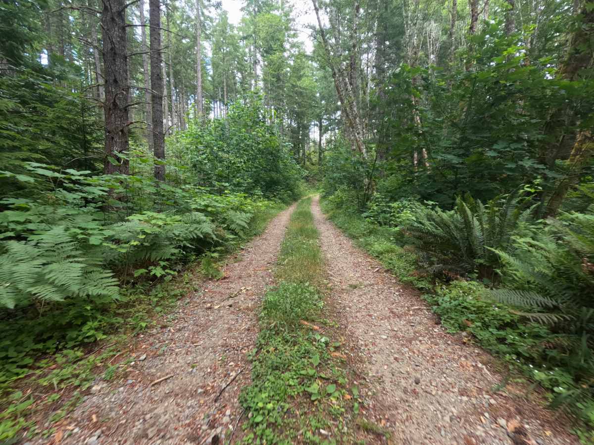
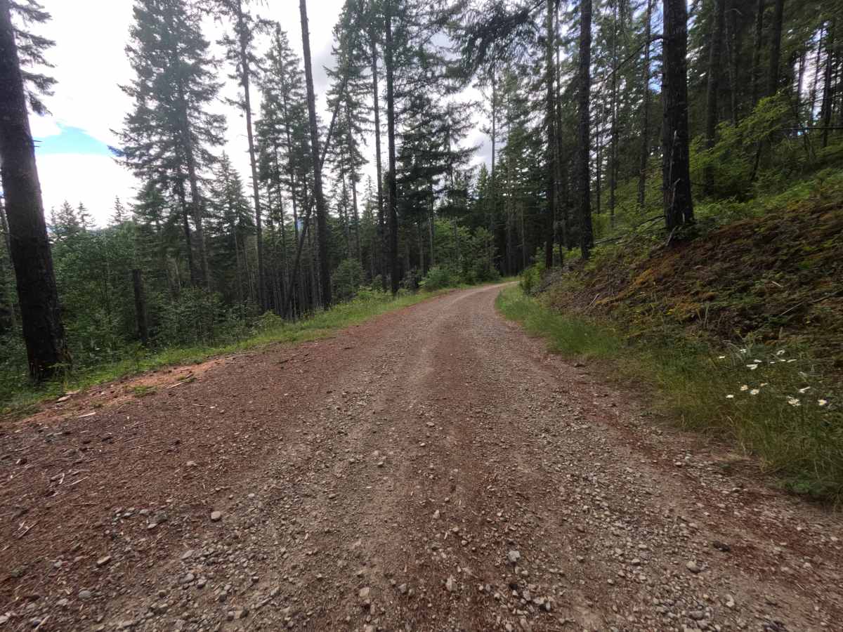
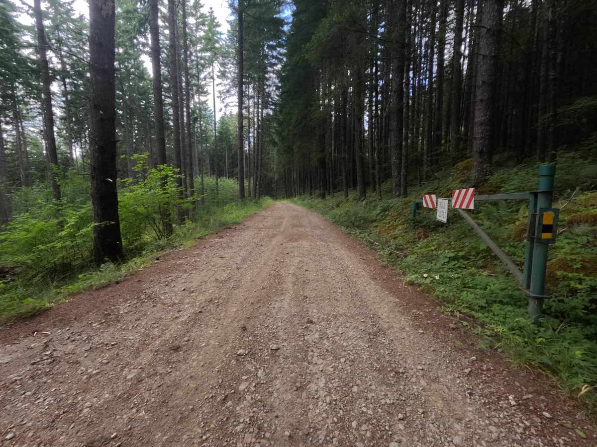
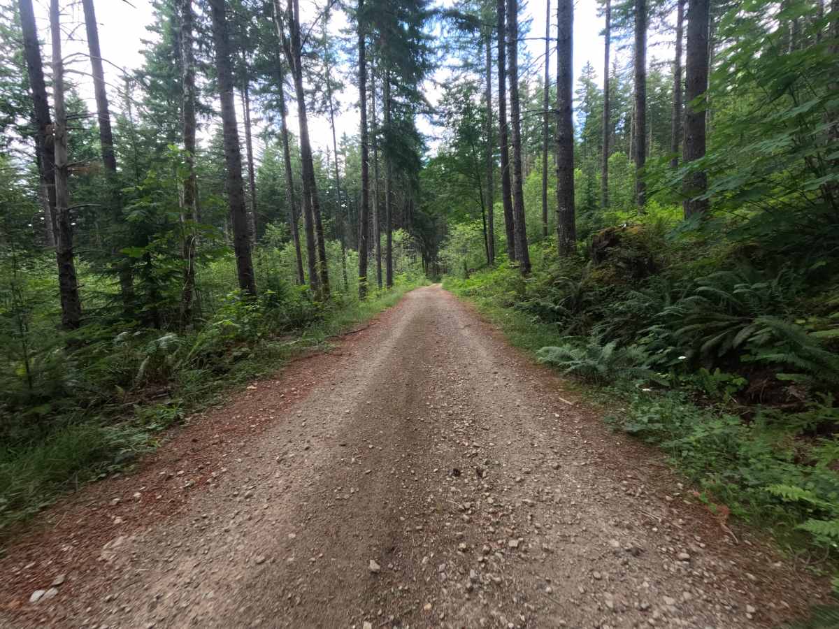
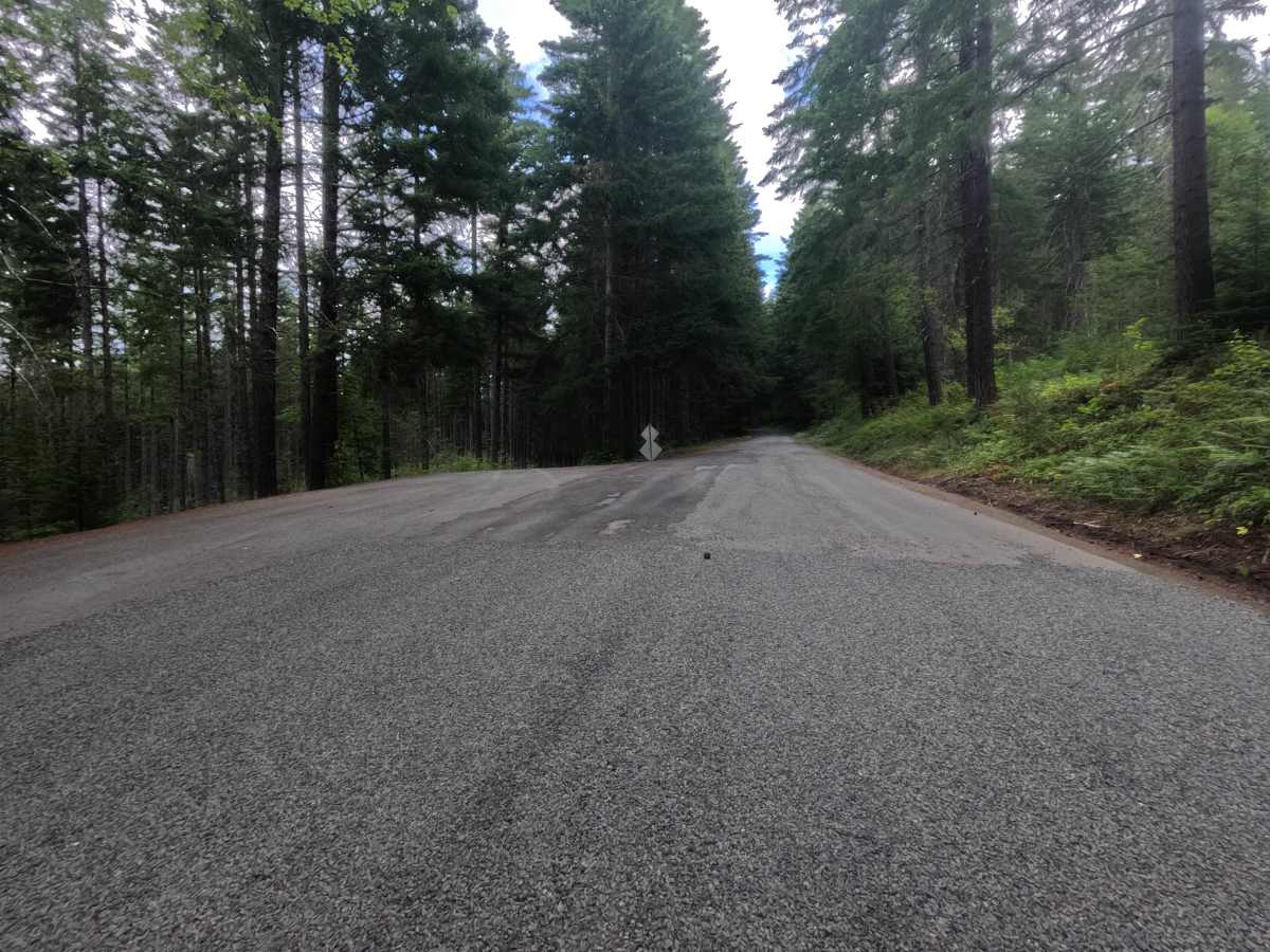
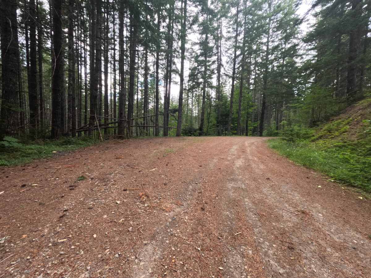
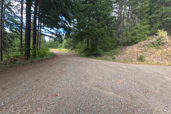
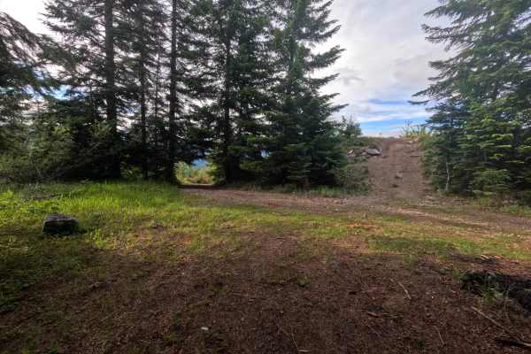
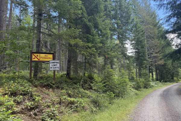
Boundary (FS 1260022) branches off the main road after passing through a small community, beginning as a single-lane gravel spur. A wide turnout suitable for camping opens at 0.5 miles, and from there the grade ticks up slightly to a single dispersed campsite at 0.8 miles that overlooks the Packwood Valley. The drive stays easy, with only a couple of manageable dips around 1.5 miles, before the road ends at 1.8 miles at an overgrown dispersed camp. Because the very end is overgrown, the better stopping point is the turnout just before it, where the valley-overlook camp makes the short, easy spur worth the detour.
Difficulty
Boundary (FS 1260022) is a straightforward single-lane gravel with only a slight grade increase past the first turnout and a couple of easily managed dips around 1.5 miles. It is comfortable for most vehicles, with the overgrown endpoint being the main reason to stop a little short rather than any technical difficulty.