Trail Overview
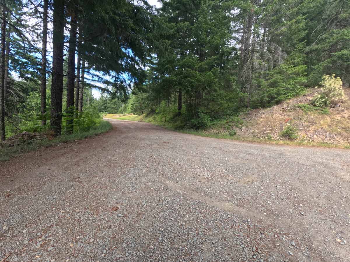
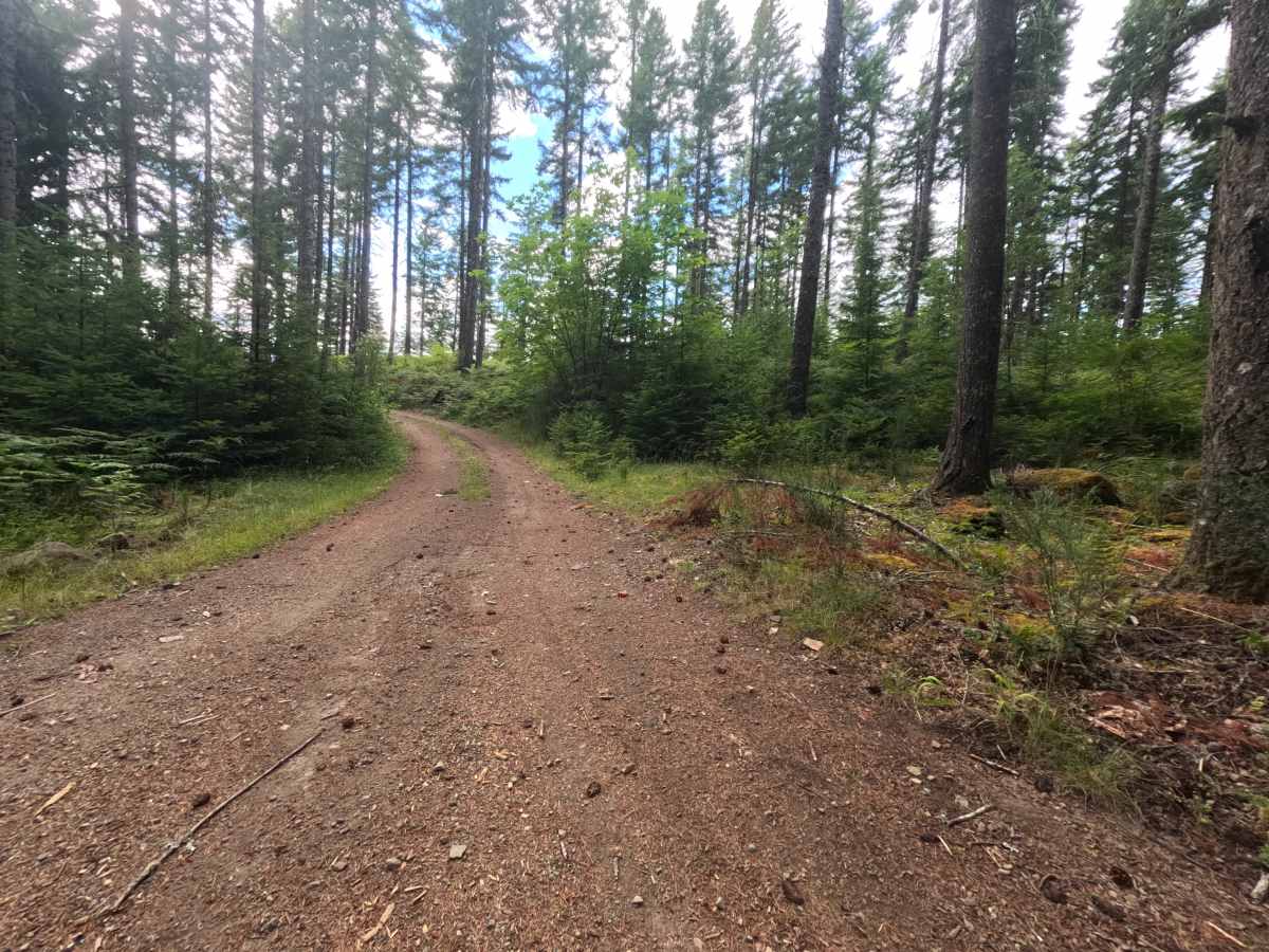
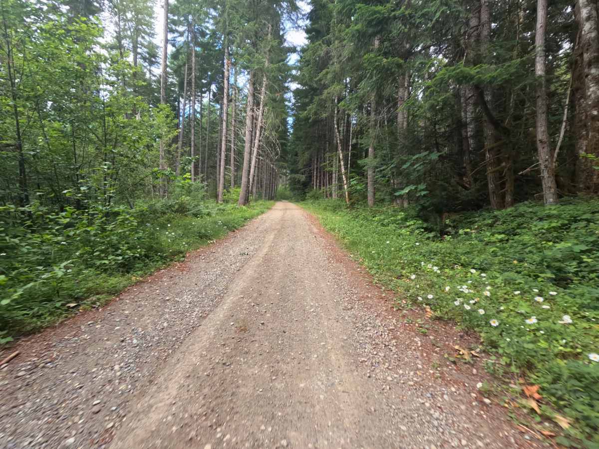
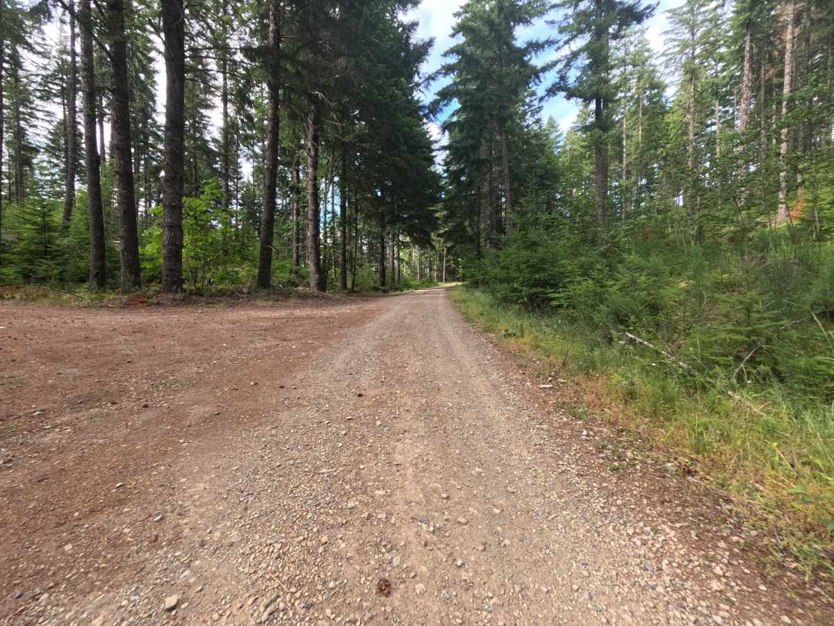
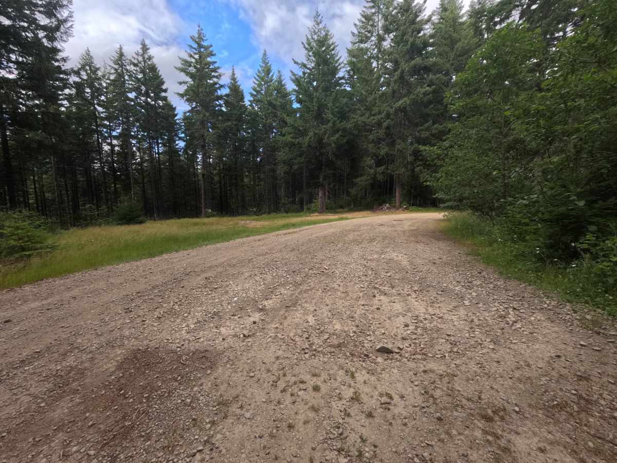
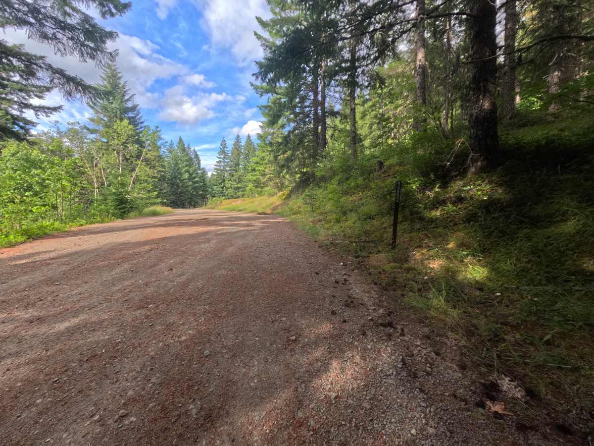
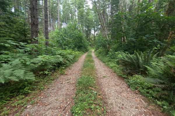
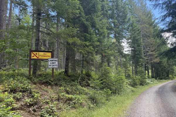
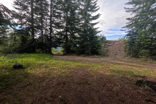
Latch (FS 1262000) comes off FS 1260000 around a bend just out of Packwood as a wide gravel spur, opening immediately to multiple dispersed campsites with fire rings, roomy enough overall for eight to ten vehicles. The road is well-traveled and smooth, beginning a gentle uphill at 0.5 miles, with another fire-ring camp and open valley views at 0.7 miles. It is a good base for exploring on foot, too, with hiking trails branching off at 1.0 and 1.3 miles and an OHV trail at 2.0 miles. Past that point, the surface turns rockier with some minor washout ruts and the grade steepens, before a 'Road Closed' gate ends the route at 2.4 miles with space to turn around. The easy, camp-lined lower section is the draw.
Difficulty
The spur is mostly wide, well-traveled gravel with a gentle uphill grade and only a few easily managed potholes for its first couple of miles. It firms up to a 2 in the final stretch before the gate, where the surface turns rockier with minor washout ruts and a steeper grade, though nothing technical; a 'Road Closed' gate, not terrain, ends the drive at 2.4 miles.