Trail Overview
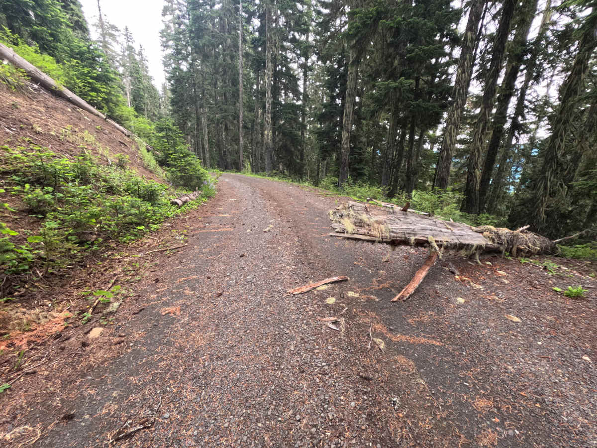
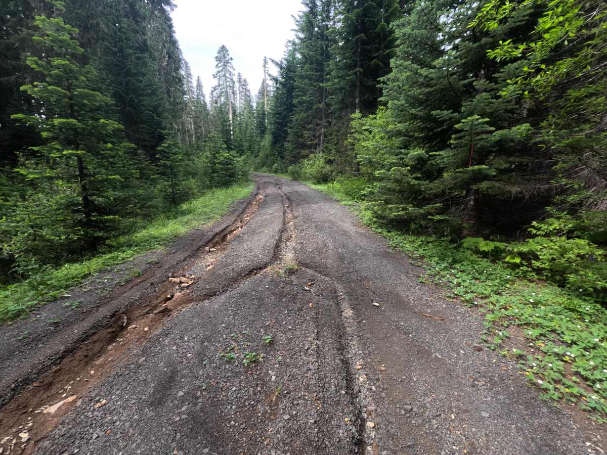
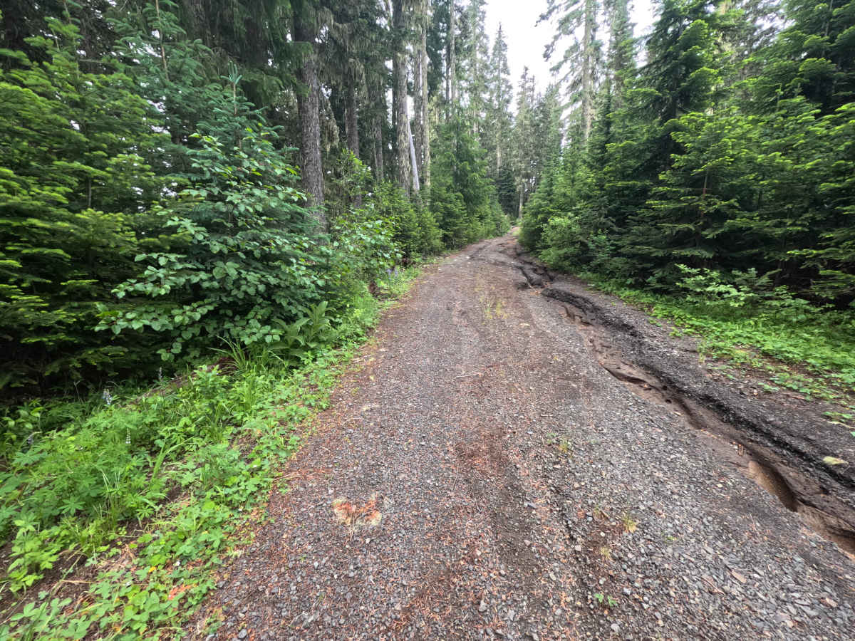
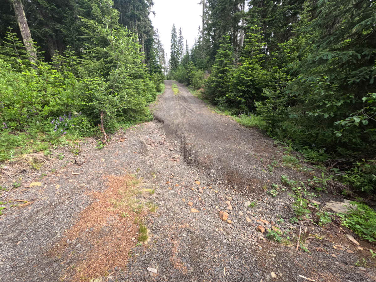
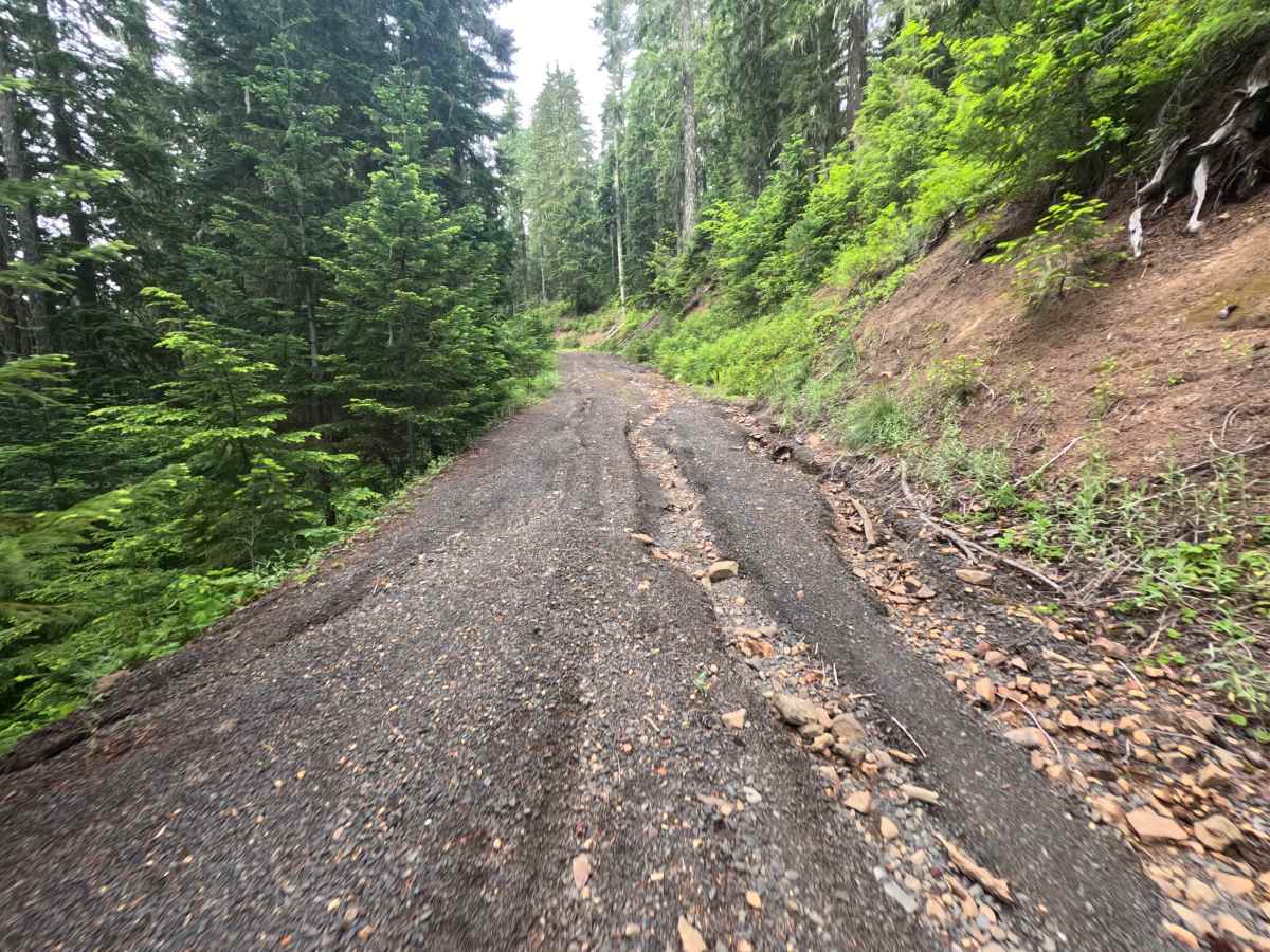
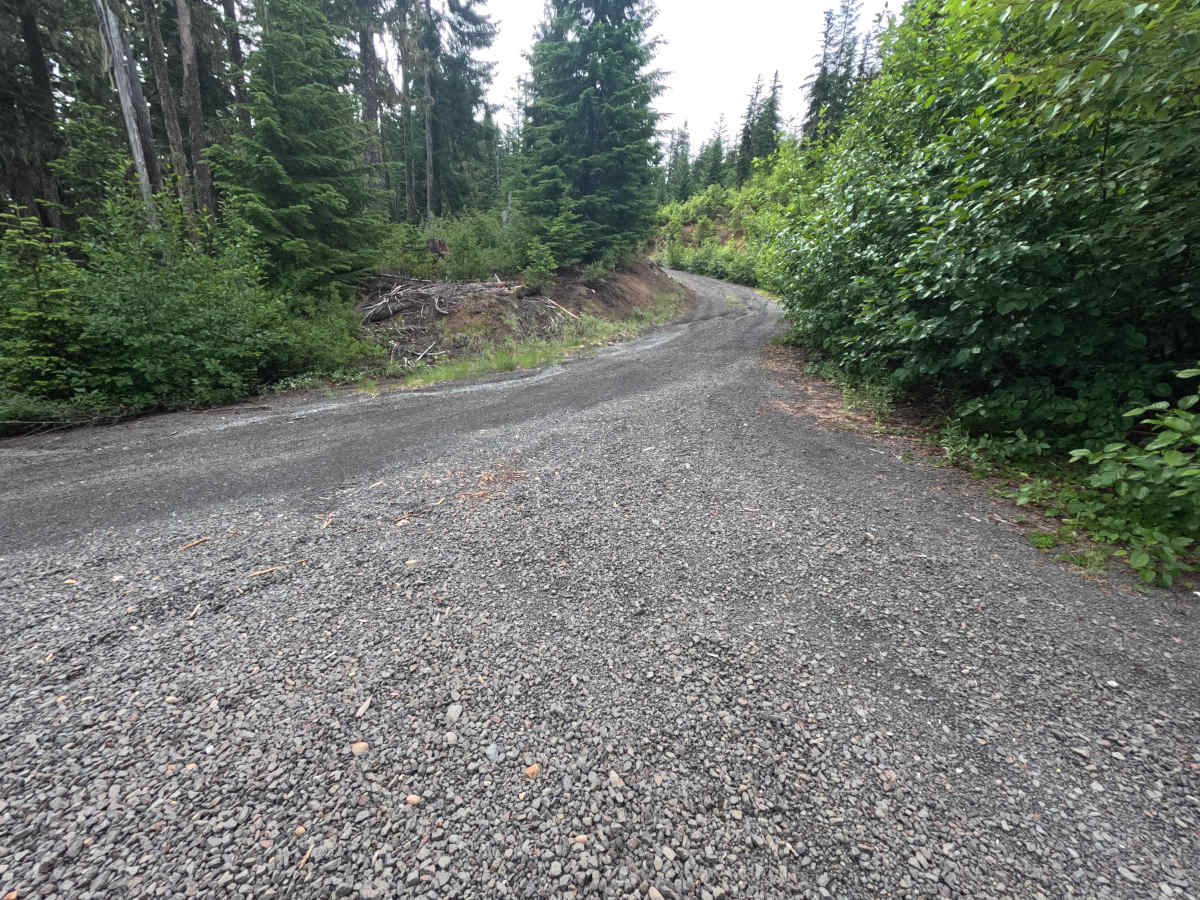
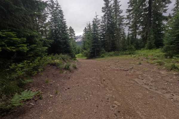
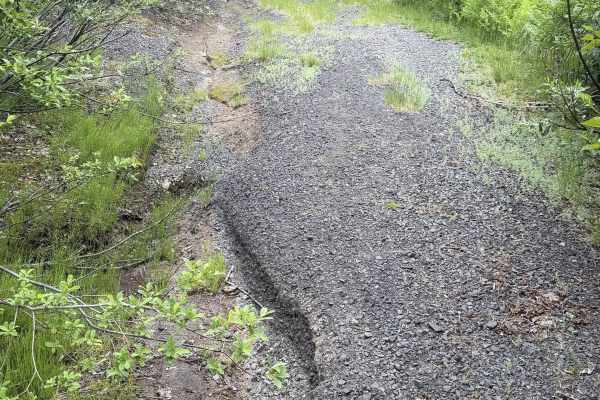
FS 9091021 forks off the main road and climbs a decent grade on single-lane gravel. The first mile and more is the rough part: a washout rut runs along the right edge, a downed log pinches the road near 0.5 miles, and a stretch of deep but avoidable washouts continues to about 0.8 miles, with ruts measuring well over a foot and a half. This is enough that small cars cannot pass safely and high clearance is strongly recommended. After a short, steeper pitch, the surface smooths out, and near 1.3 miles the trees open to clear views of Mount Adams along a bend. The drive is largely a tree tunnel with drop-offs and intermittent mountain views, plus side spurs to campsites with their own Mount Adams outlooks. It ends, for most vehicles, at a full downed log across the road at 1.4 miles, which is too thick to drive over without damage and passable only by large-tired, high-clearance rigs or after the log is cut and removed.
Difficulty
The defining features are a rough first mile of washouts and erosion ruts measuring well over a foot and a half, which exclude low-clearance and small 2WD vehicles and call for a capable, high-clearance 4x4. The terrain sits in the moderate-to-rugged band, and a thick downed log across the road near 1.4 miles forms a hard stop for all but large-tired, high-clearance rigs.