Trail Overview
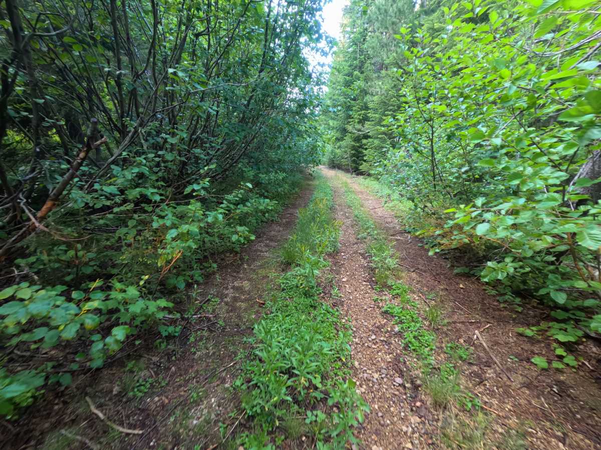
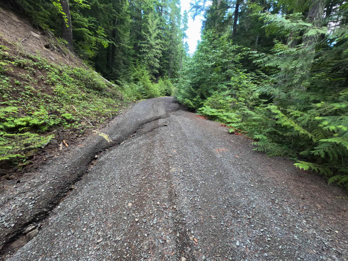
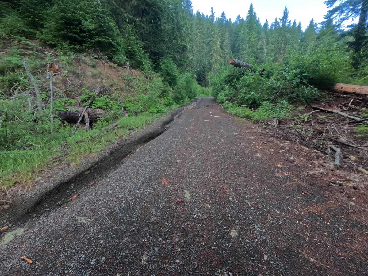
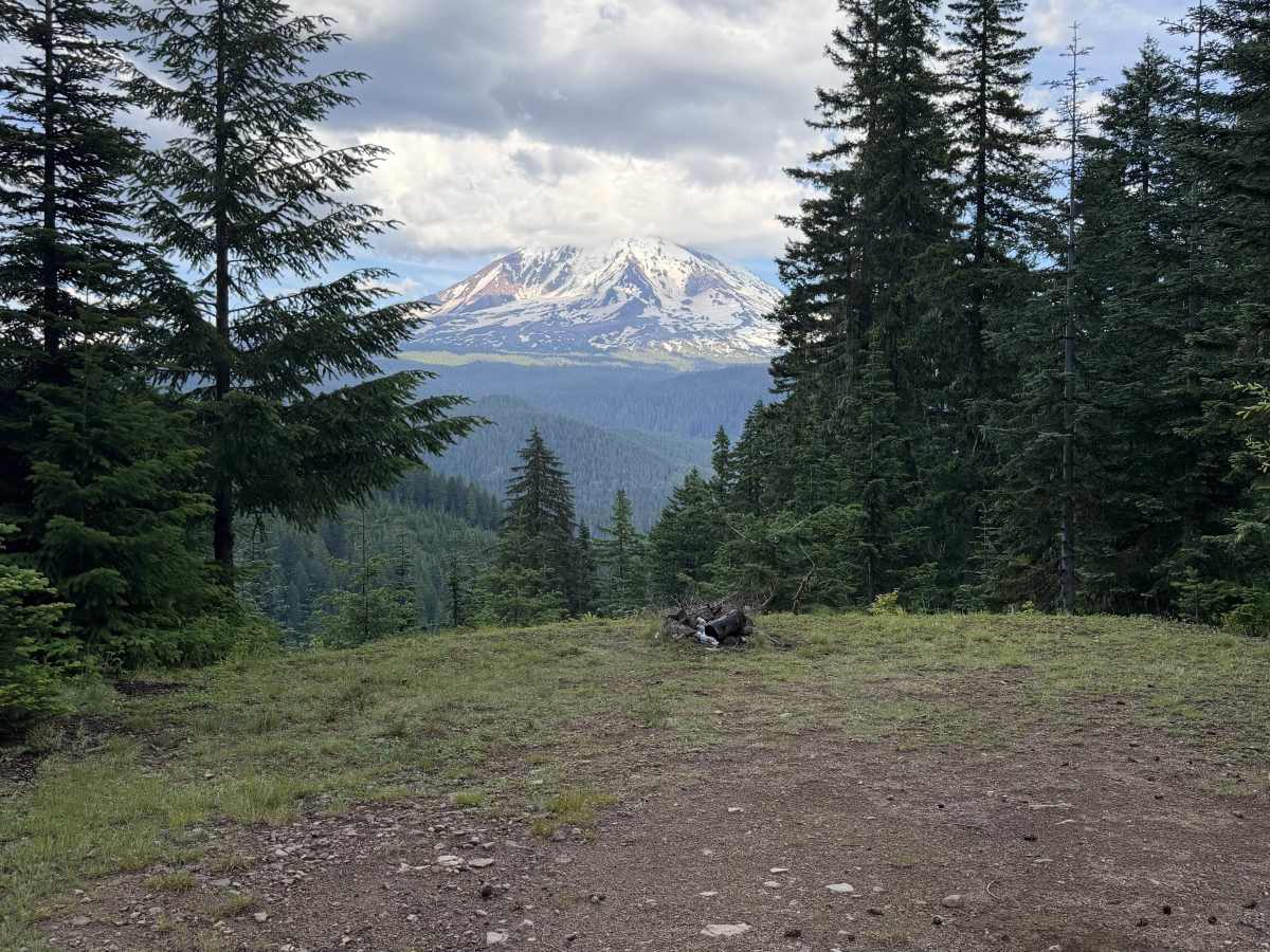
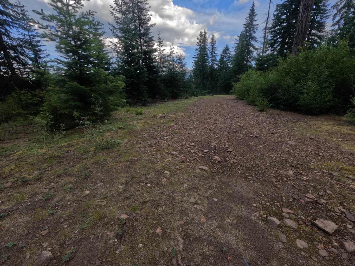
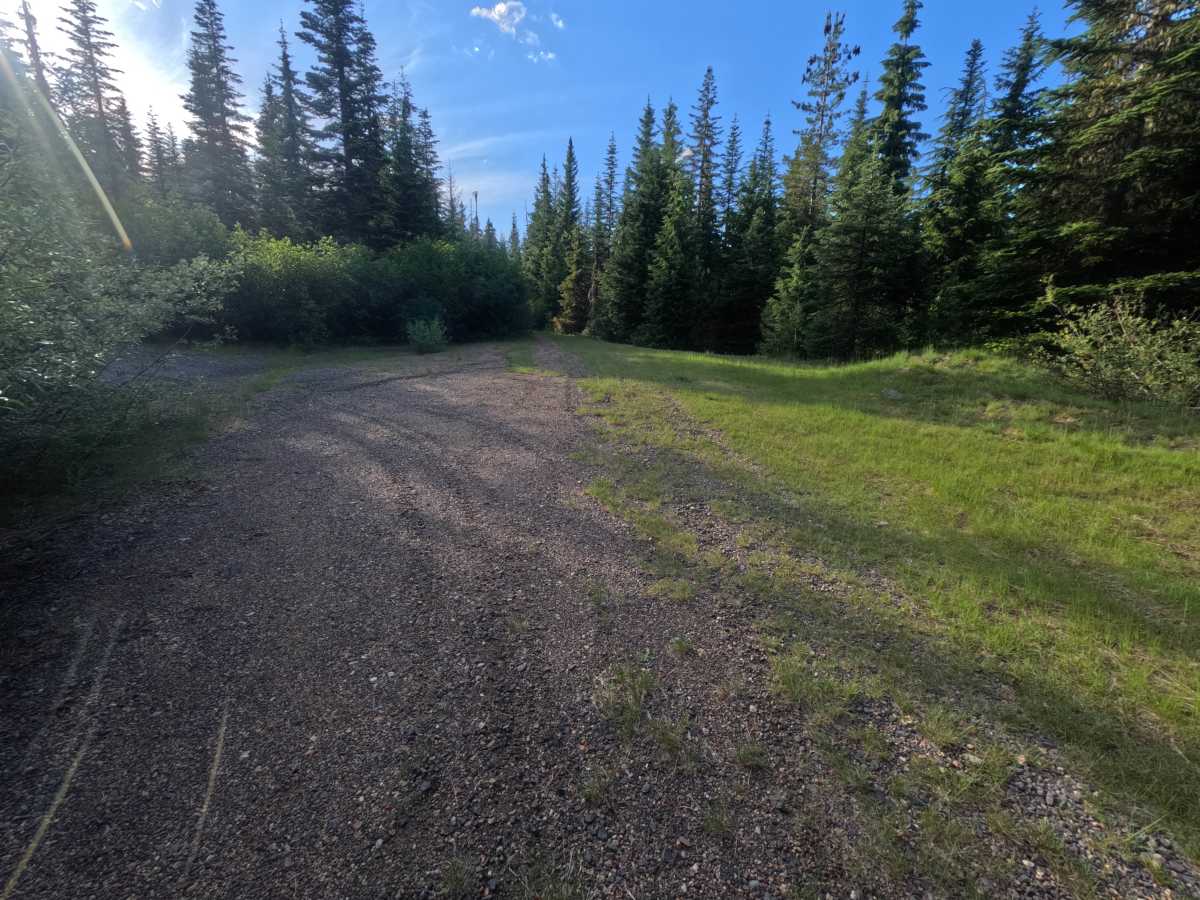
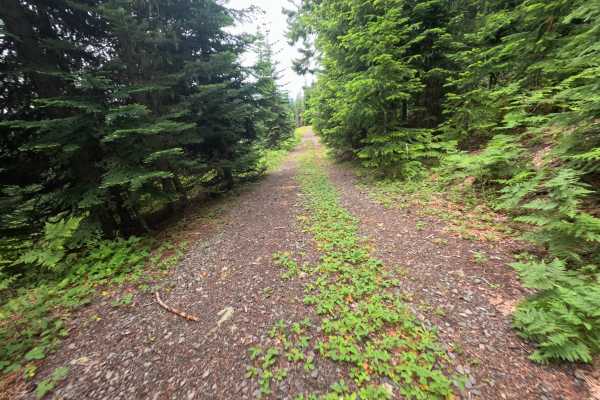
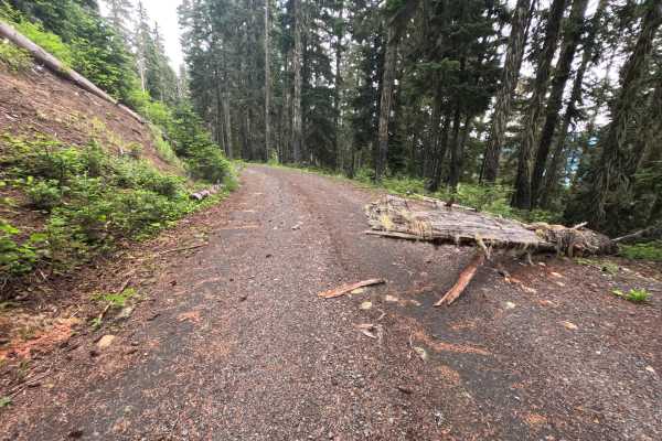
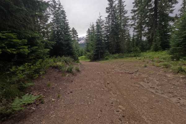
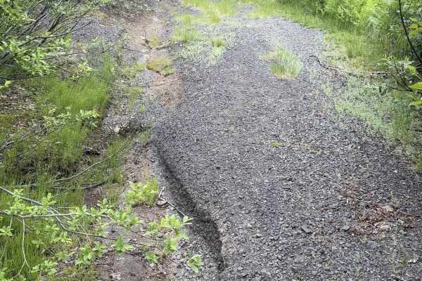
FS 9091000 is a gravel forest road marked at the start by two signs: 'Road Closed 4mi' and 'Narrow rough road.' The first 1.5 miles climb past washouts that pinch the road narrow but stay drivable; it is SUV-friendly, though sedans may struggle. The route threads intermittently along a cliffside, with thimbleberry bushes crowding the edges. At 2.0 miles, a 50-foot flat pullout opens to a wide, nearly full view of Mount Adams, complete with a fire ring, strawberry plants, and one enormous fir standing sentinel behind the scene. Beyond, the road continues weaving in and out of the forest with more dispersed campsites, including a wide one on the right near 3.3 miles. The brush grows heavier, and the road narrows the farther you go, becoming too overgrown to drive just past 4 miles, where turning around at the intersection is the sensible call.
Difficulty
The first 1.5 miles climb through washouts that narrow the road and are best handled with a 4x4 or SUV; low-clearance 2WD sedans may struggle in spots, but the terrain stays manageable. The grade and washouts are moderate rather than severe, and beyond the scenic mid-section the main limiting factor becomes heavy overgrowth and narrowing rather than technical terrain.