Trail Overview
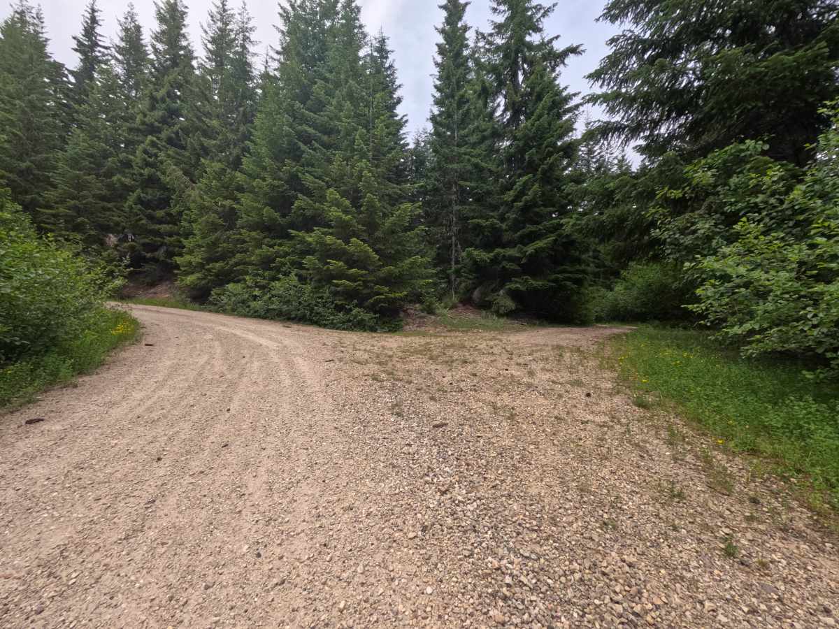
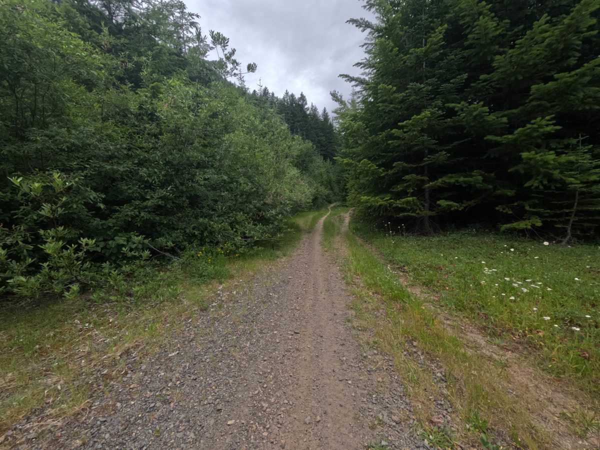
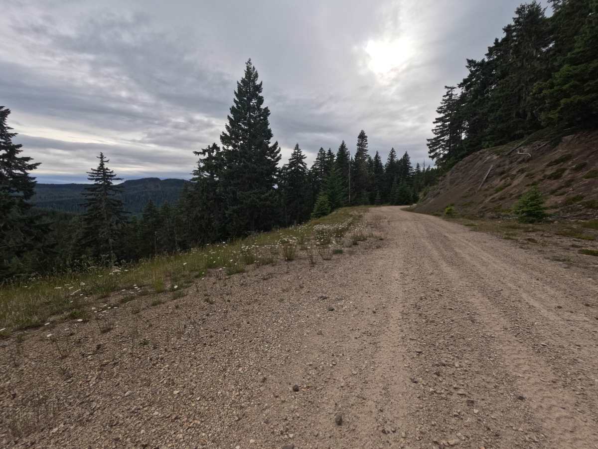
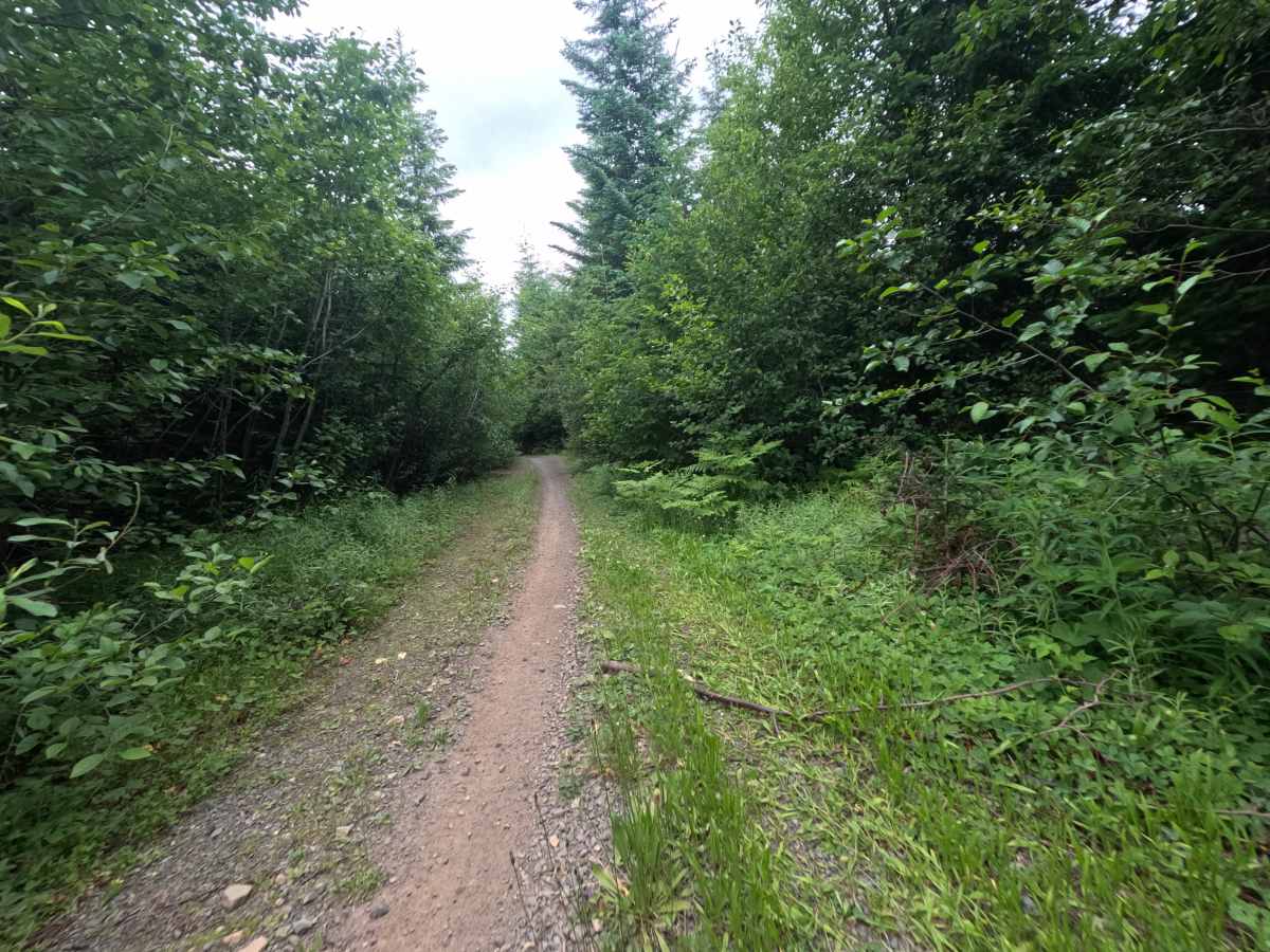
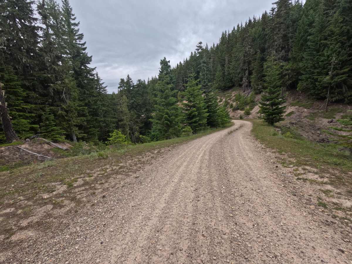
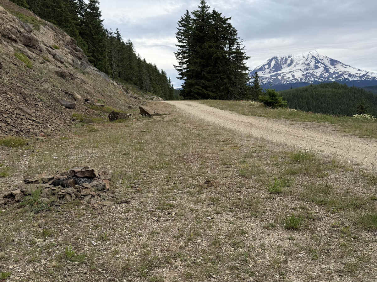
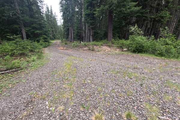
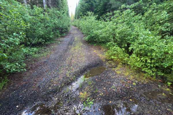
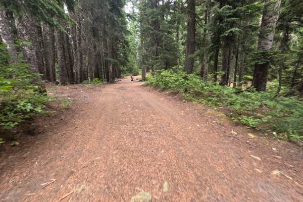
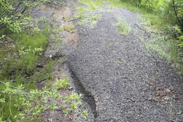
East Canyon Ridge (FS 2328000) forks off a turnout onto a well-graded, well-traveled single-lane gravel road that quickly becomes one of the more scenic drives in the area. By 0.6 miles, it opens onto a cliffside run with clear views of Mount Adams and slopes thick with yellow and white wildflowers, with frequent cliff-edge turnouts that serve as single-vehicle dispersed campsites and dramatic valley overlooks, especially around 2.2 miles. For most of its length, it is an easy drive with only minimal potholes. Past about 3.7 miles the road narrows with brush crowding both sides, becoming too narrowly overgrown for bigger rigs to pass by 4.1 miles, and near 4.5 miles a short section has given way toward the cliff, drivable only by keeping far to the left. Beyond that, it pinches to a single tire track best left to dirt bikes and quads, turning impassable to vehicles around 4.8 miles where it becomes a narrow hiking trail. The cliffside scenery and camping make the first several miles well worth it; stopping at the last dispersed campsite is the right call.
Difficulty
For the great majority of its length, the road is well-graded, well-traveled gravel with only minor potholes and gentle grades, an easy drive suitable for nearly any vehicle. The one notable exception is a short off-camber section near 4.5 miles where the road has partially given way toward the cliff; that spot rates around a Class 4 and is manageable only by staying far left, so cautious drivers may prefer to stop at the last cliff-edge campsite before it.