Trail Overview
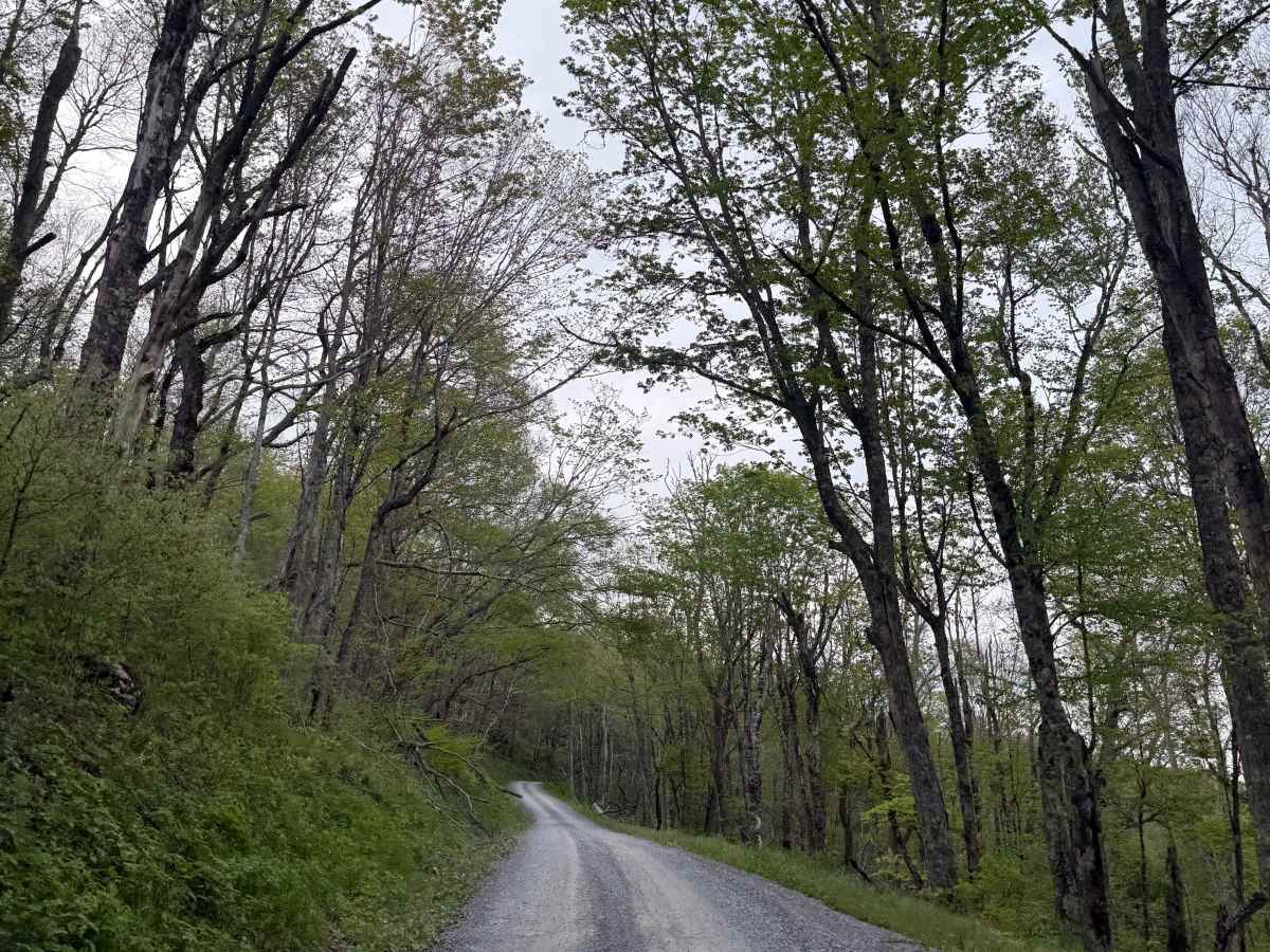
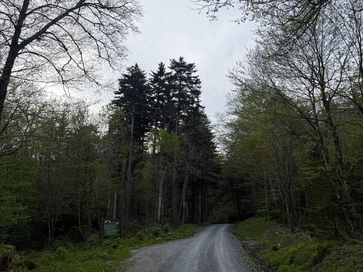
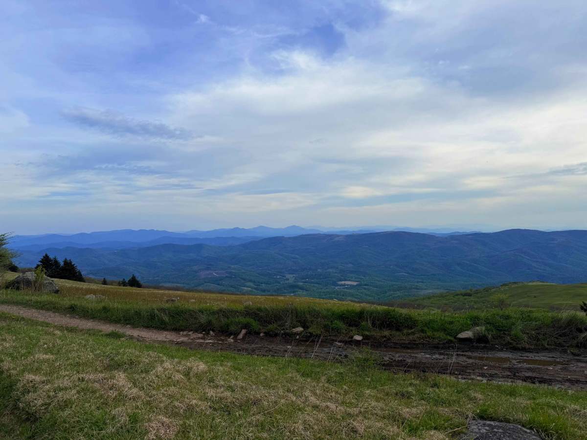
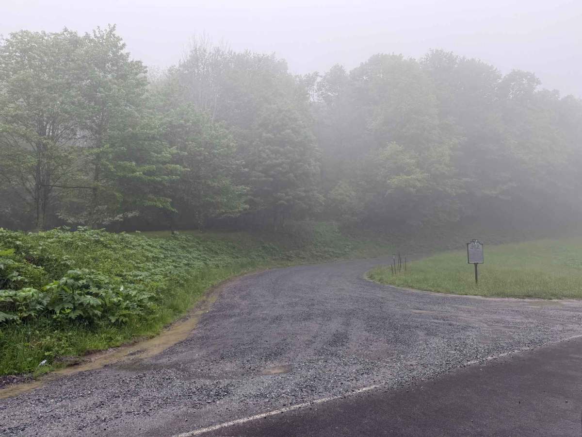
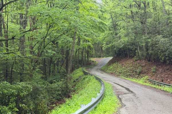
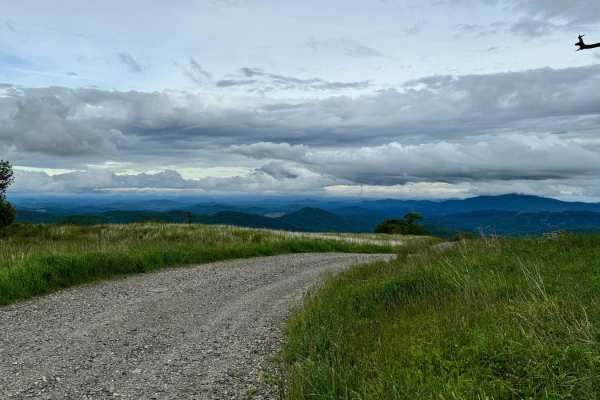
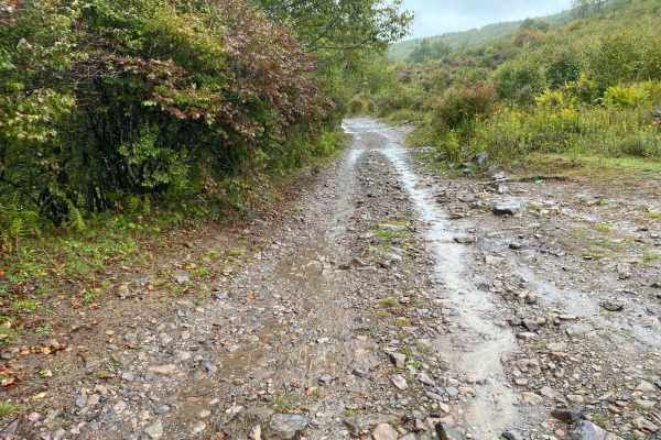
Whitetop Mountain Bald Road is a two-track Forest Service road that winds up to the summit of Whitetop, Virginia's second-highest peak. The summit offers breathtaking, 180-degree panoramic views overlooking Virginia, Tennessee, and North Carolina. This well-maintained gravel road is easily accessible, and almost any high-clearance, 2WD vehicle should have no trouble making it to the top. Along the way, the road intersects with a trailhead for the Appalachian Trail, providing an excellent jumping-off point for hikers. The summit features a radio tower facility that is gated and sits on private property. The road itself is well-maintained, and while a handful of potholes and ruts are present, they are not overly challenging and can easily be avoided with careful line choice.
Difficulty
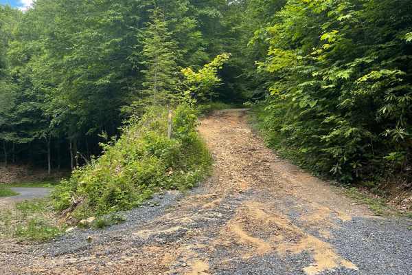
The trail is relatively easy, featuring a few ruts and potholes that can be jarring but can easily be avoided with careful line choice. A few steeper grades are present along the climb, which may pose minor difficulties depending on current weather conditions, but the route is generally well-accessible.
History
Formed hundreds of millions of years ago, the mountain features distinctive volcanic rock deposits across its summit. The exact origin of the grassy bald remains a mystery, though several theories exist. Some scientists suggest the clearing was maintained by large herbivores during the Jurassic era, while others believe it was shaped by ancient glacial activity.


 Offroad