Trail Overview
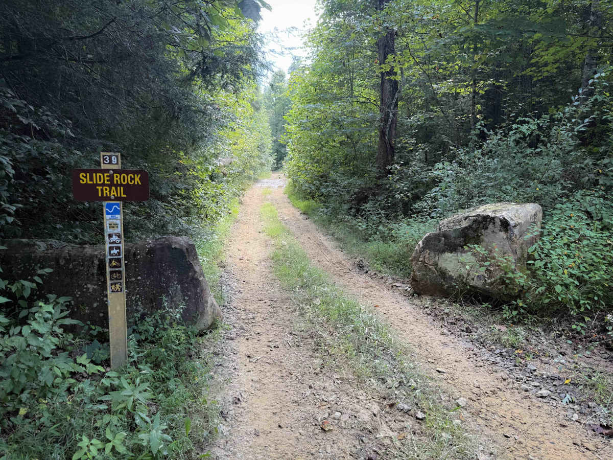
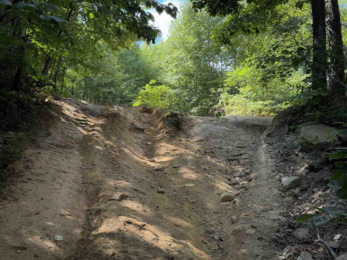
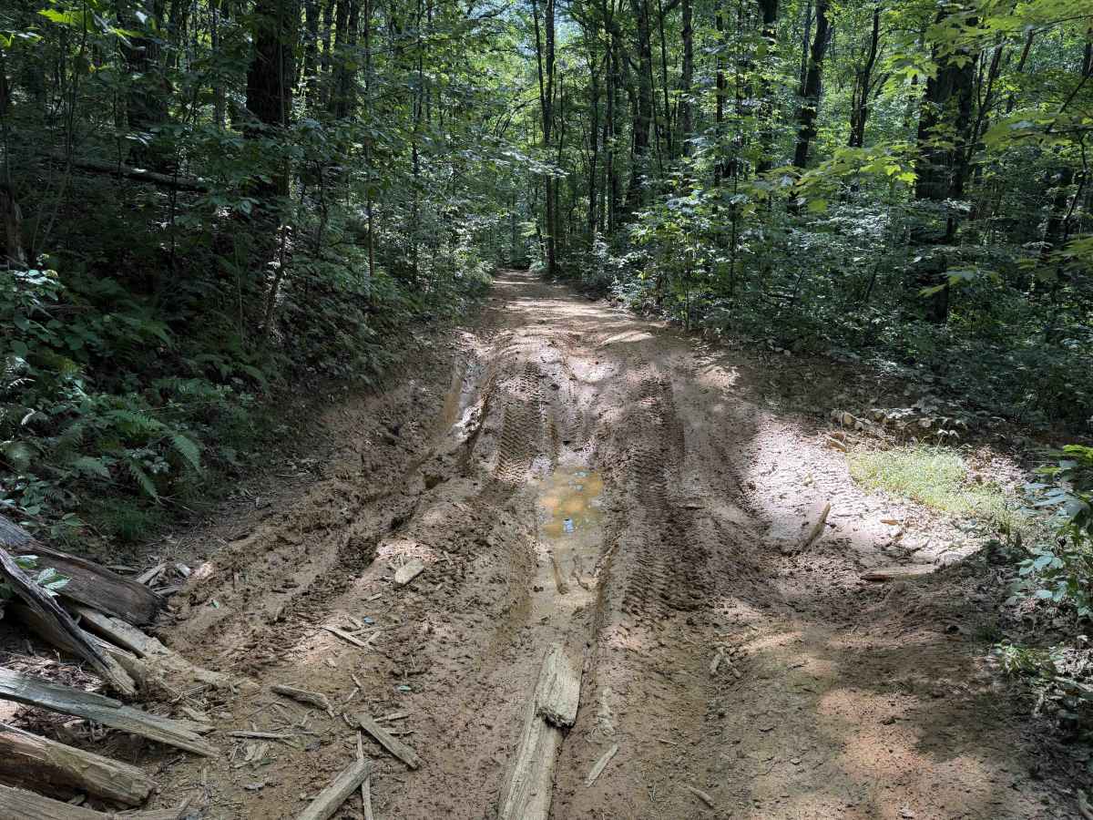
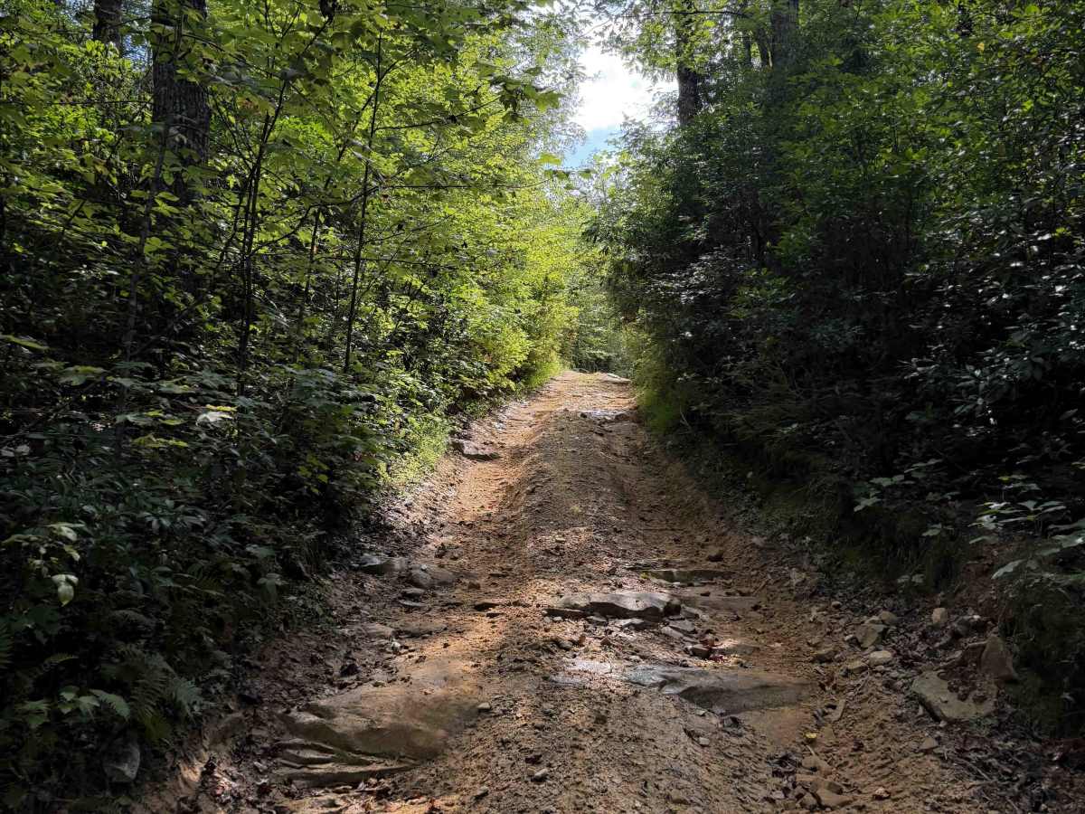
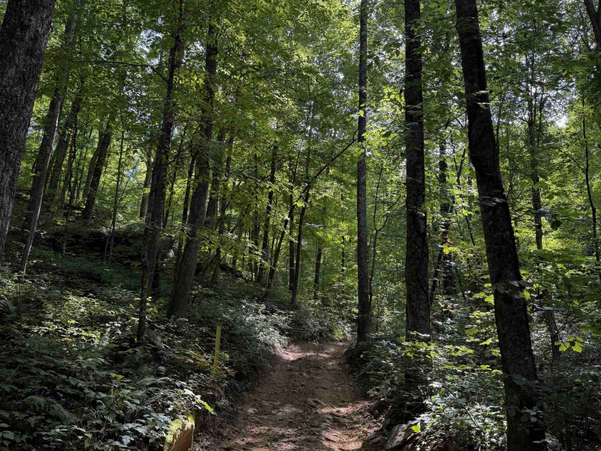
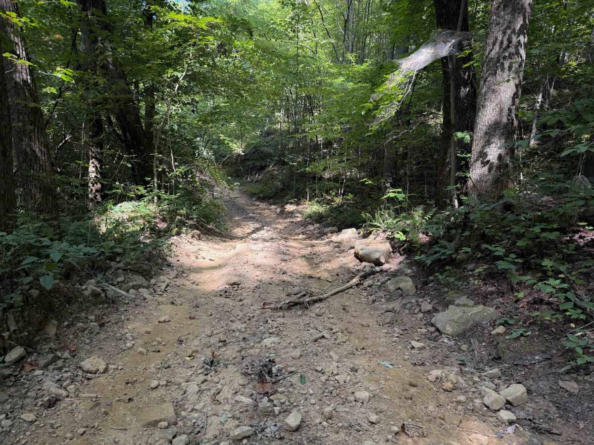
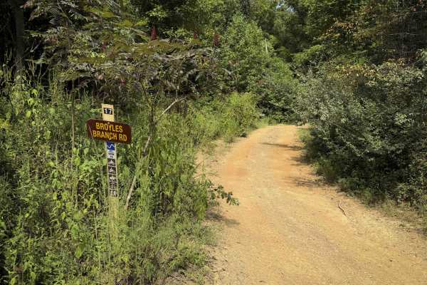
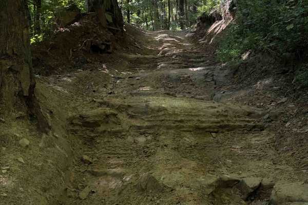
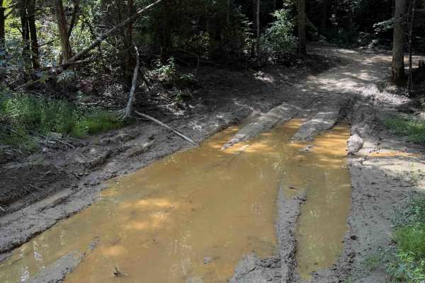
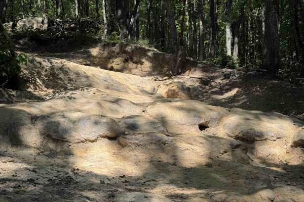
The Slide Rock Trail is a moderate off-highway vehicle trail within the Sundquist Unit of the North Cumberland off-highway vehicle Riding Area in Tennessee. It has easy sections of two-track, with a mix of gravel and loose rocks, shallow ruts, and spots of greasy mud. The dirt is mixed with clay, which can become very slippery when wet. Segments of the trail are deeply troughed and dug out below the forest floor, making the trail very narrow between the tall dirt banks. It winds through the hillsides and through the forest floor, in a scenic and shady forest of birch trees and leafy thickets. At times the trail is one lane wide. Big mud puddles come up quickly on the backside of humps in the trail, making them hard to avoid. Expect some steeper climbing sections with muddy ruts, and a few bigger embedded slab rock layers at the top of one of the climbs. Watch out for slippery roots and a few tighter switchbacks that are gradual and smooth. The trail goes past several unmarked intersections, some that dead end, so a downloaded map is helpful here.
Difficulty
This is rated Moderate by the Cumberland Wildlife Management Area. It is full of moderate features such as deep muddy ruts, a couple of short rock ledges, and greasy mud puddles. The trail can become significantly more difficult in wet conditions.

 Offroad