Trail Overview
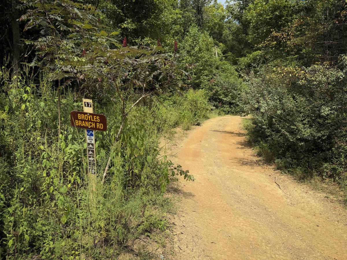
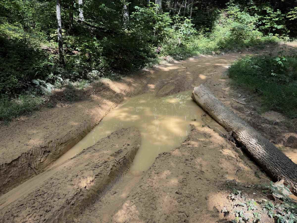
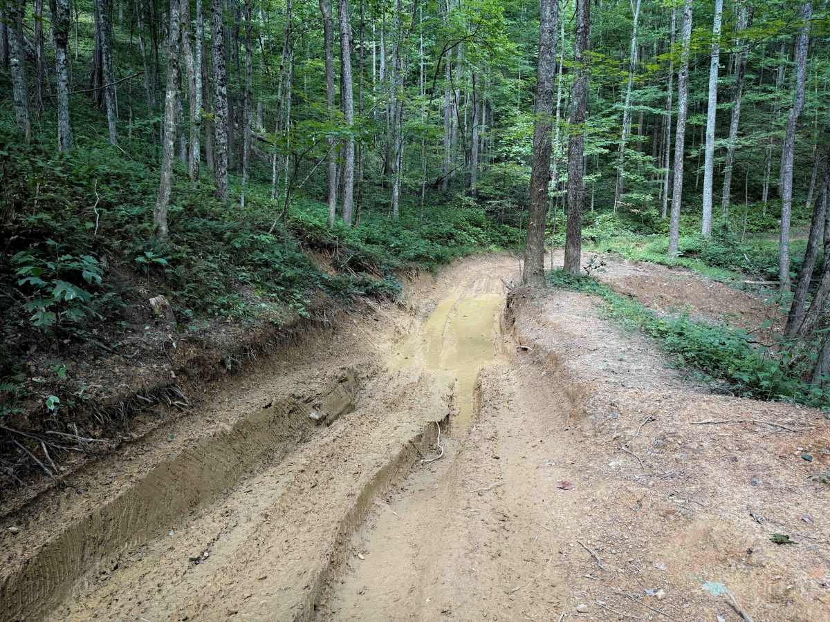
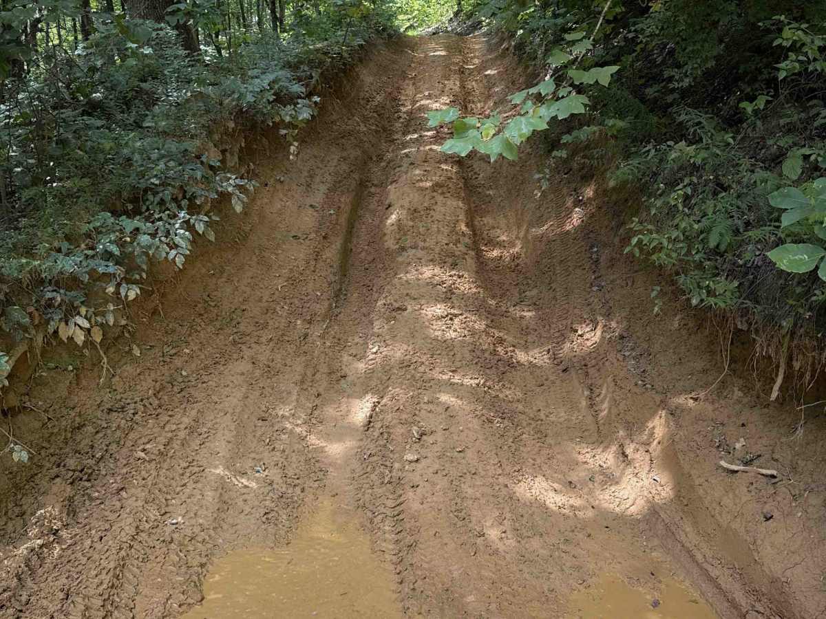
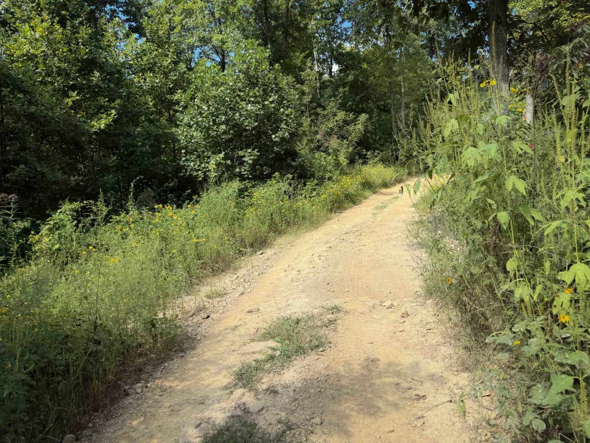
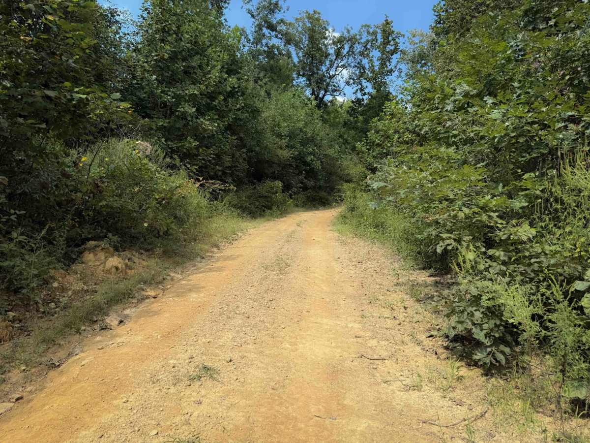
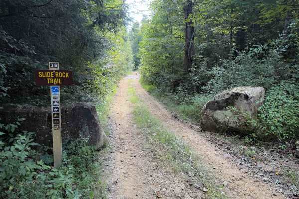
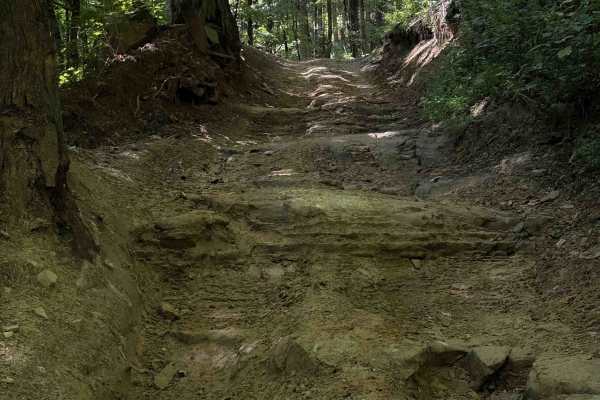
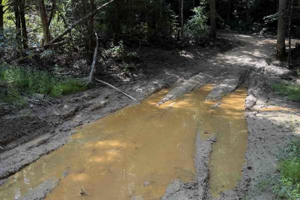
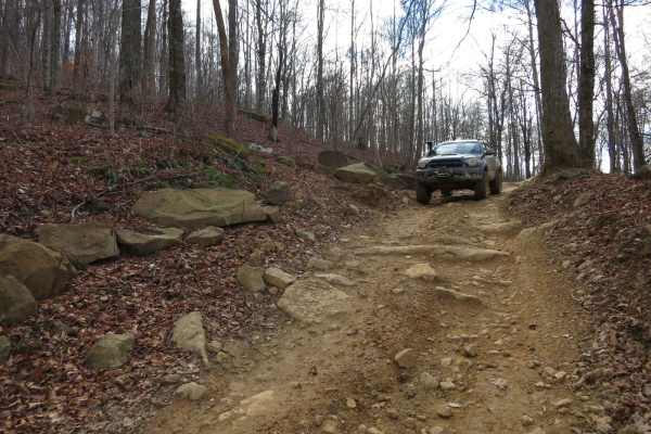
Broyles Branch Trail is part of the Sundquist Unit in the North Cumberland OHV Riding Area. It is mostly a narrow and easy OHV trail, gradually curving around the mountain sides, making a loop off of Lee Asbury Road Trail 13. There are narrow segments where the trail is troughed and dug out below the forest floor. Additionally, there are shelf road sections, dips and humps, and shallow ruts. The trail is more sun-exposed on the west half, and drier. After about 1.5 miles, there are a few spots that are muddy with deeper ruts that OHVs will have to straddle, and a winch is advised. Watch out for big mud puddles, and a few steeper hills and descents as it curves throughout the rolling hills.
Difficulty
This is rated Moderate by the Cumberland WMA. The majority of the trail is easy and gradual, however, there are several deep muddy and rutted spots that make it more of an intermediate trail.