Shack Creek Road

Total Miles0.8
Technical Rating
4Moderate
Best TimeSpring, Summer, Fall
Trail Type60" Trail
Accessible By
Open Trail Map

Trail Overview

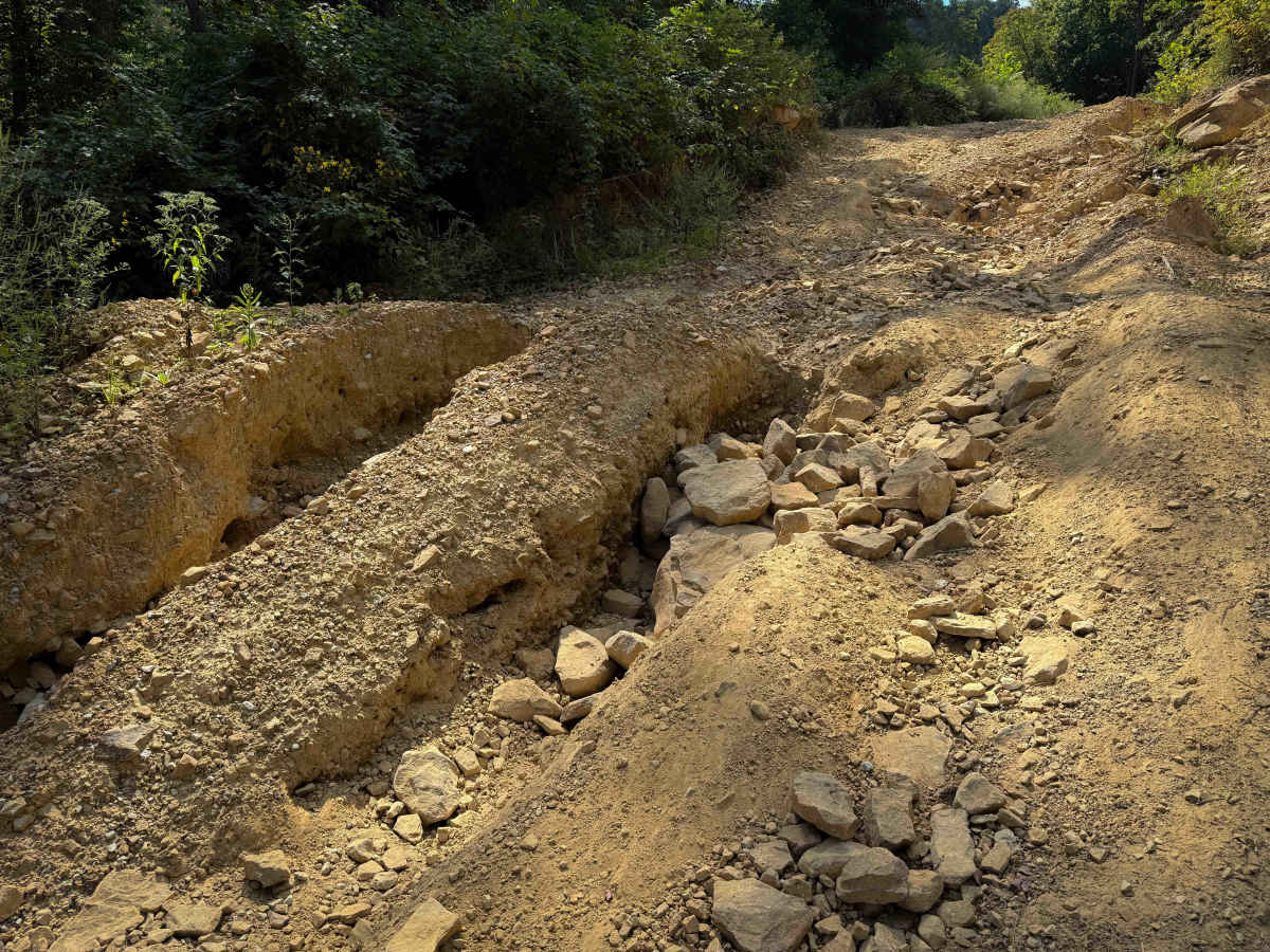
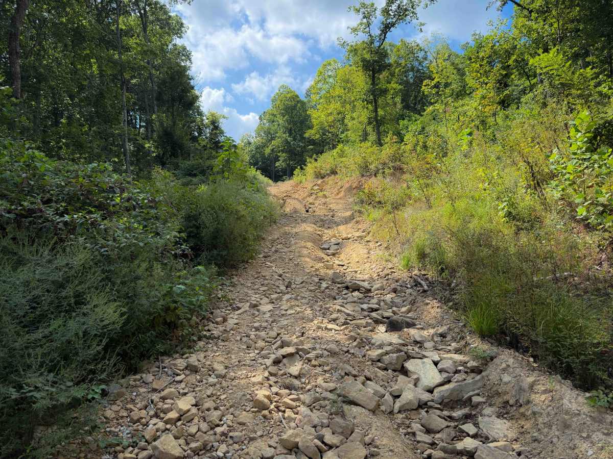
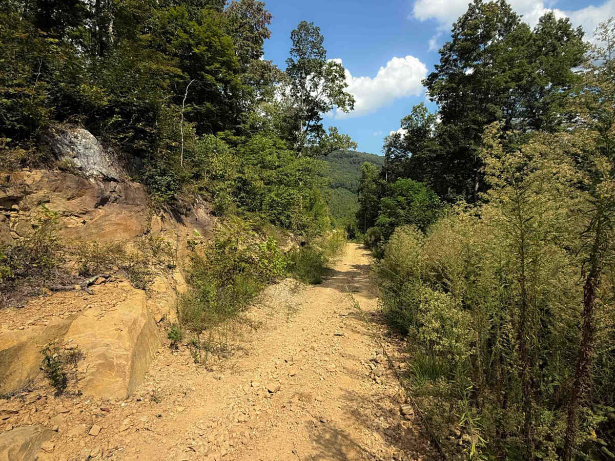
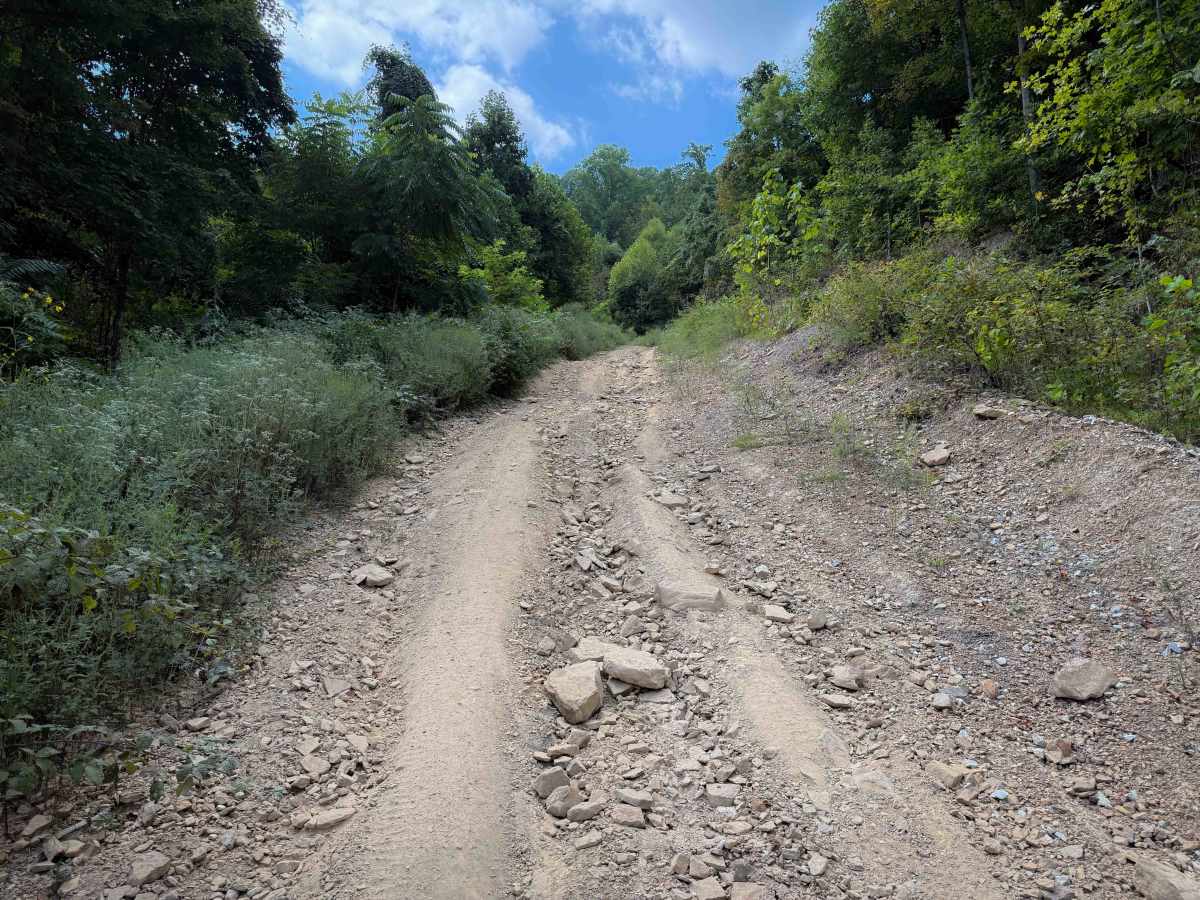
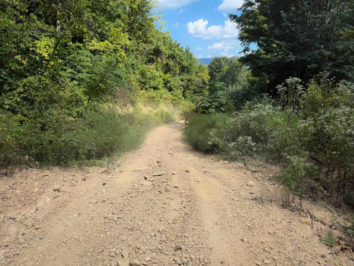
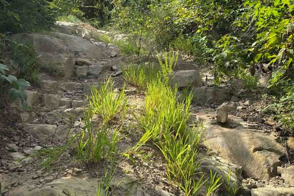
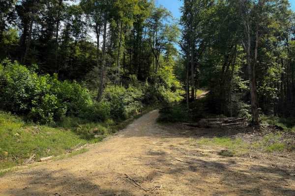
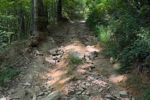
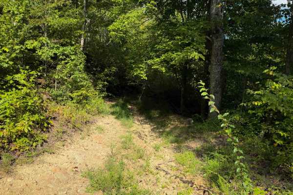
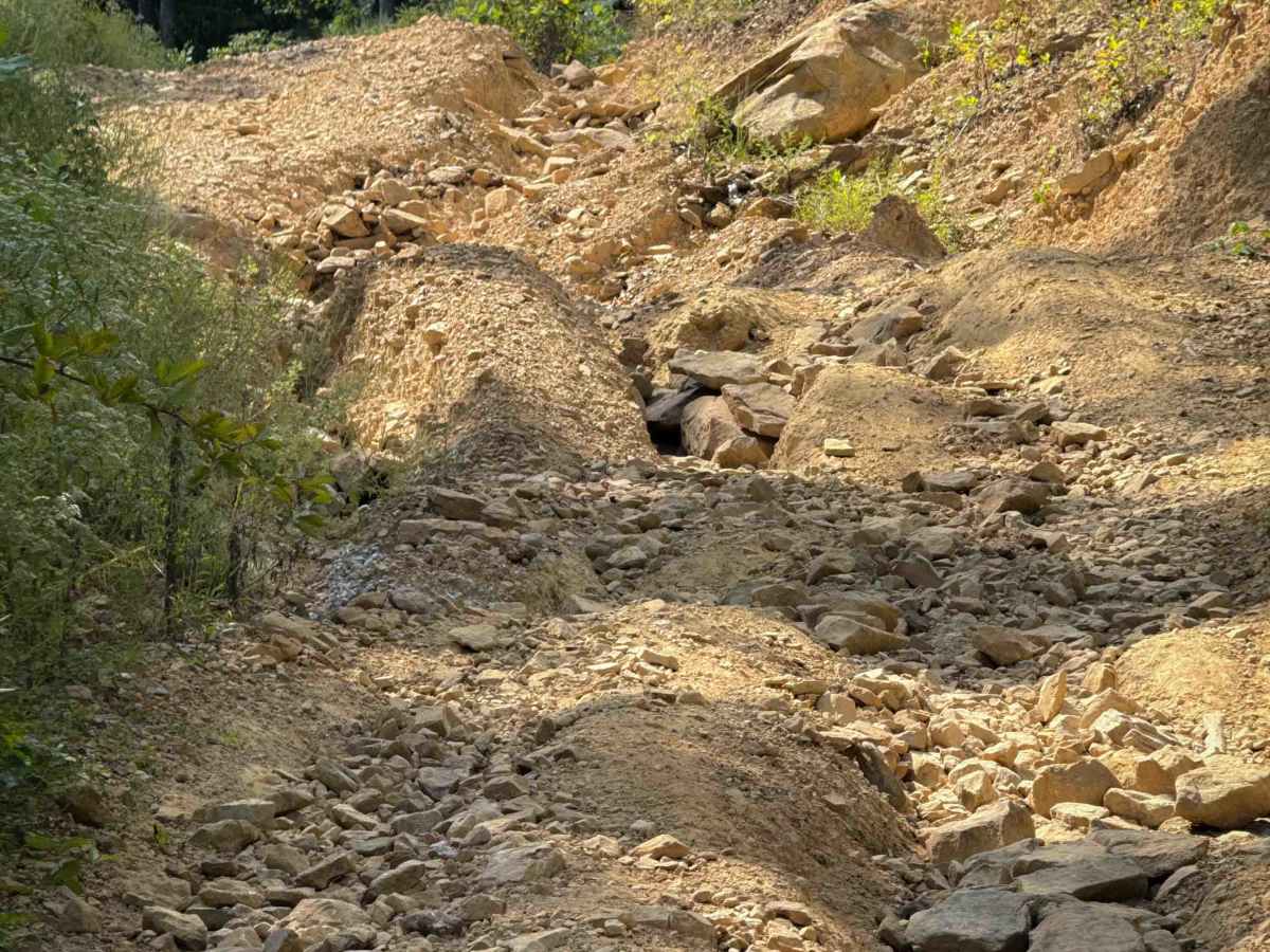
Shack Creek Road is a short OHV trail that connects the Shack Creek Connector Trail to the Dry Creek Trail. It’s an access road for some of the utility buildings for the power lines, but it has narrow sections and a few rutted, rocky sections that make it fun to explore. The trail is unmarked, but is easy to follow in one direction as it connects the two trails. It’s a short route, at only .7 miles long. The beginning and end are easy and smooth, but the middle is a steeper climb from east to west, with a few deep ruts and washouts, filled in with loose rocks, that make it more interesting. The trail is a single-lane width, ideal for SxS vehicles.

Photos of Shack Creek Road

Difficulty

This is an intermediate route mostly due to the deep rut obstacle in the middle of the route, filled with loose rocks. The middle of the route is steep, while the beginning and end are easy and gradual.

Technical Rating

4

Shack Creek Road Trail can be accessed by the following ride types:

  • Single Track
  • 50 Inch
  • 60 Inch

Shack Creek Road Map

The onX Offroad Difference

onX Offroad combines trail photos, descriptions, difficulty ratings, width restrictions, seasonality, and more in a user-friendly interface. Available on all devices, with offline access and full compatibility with CarPlay and Android Auto. Discover what you're missing today!

Open Trail Map