Shack Creek Trail

Total Miles1.4
Technical Rating
2Easy
Best TimeSpring, Summer, Fall
Trail Type60" Trail
Accessible By
Open Trail Map

Trail Overview

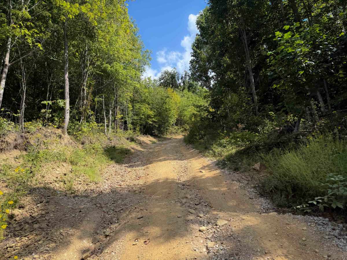
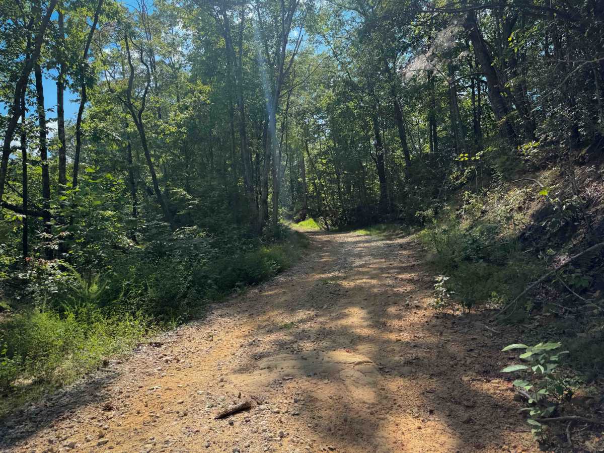
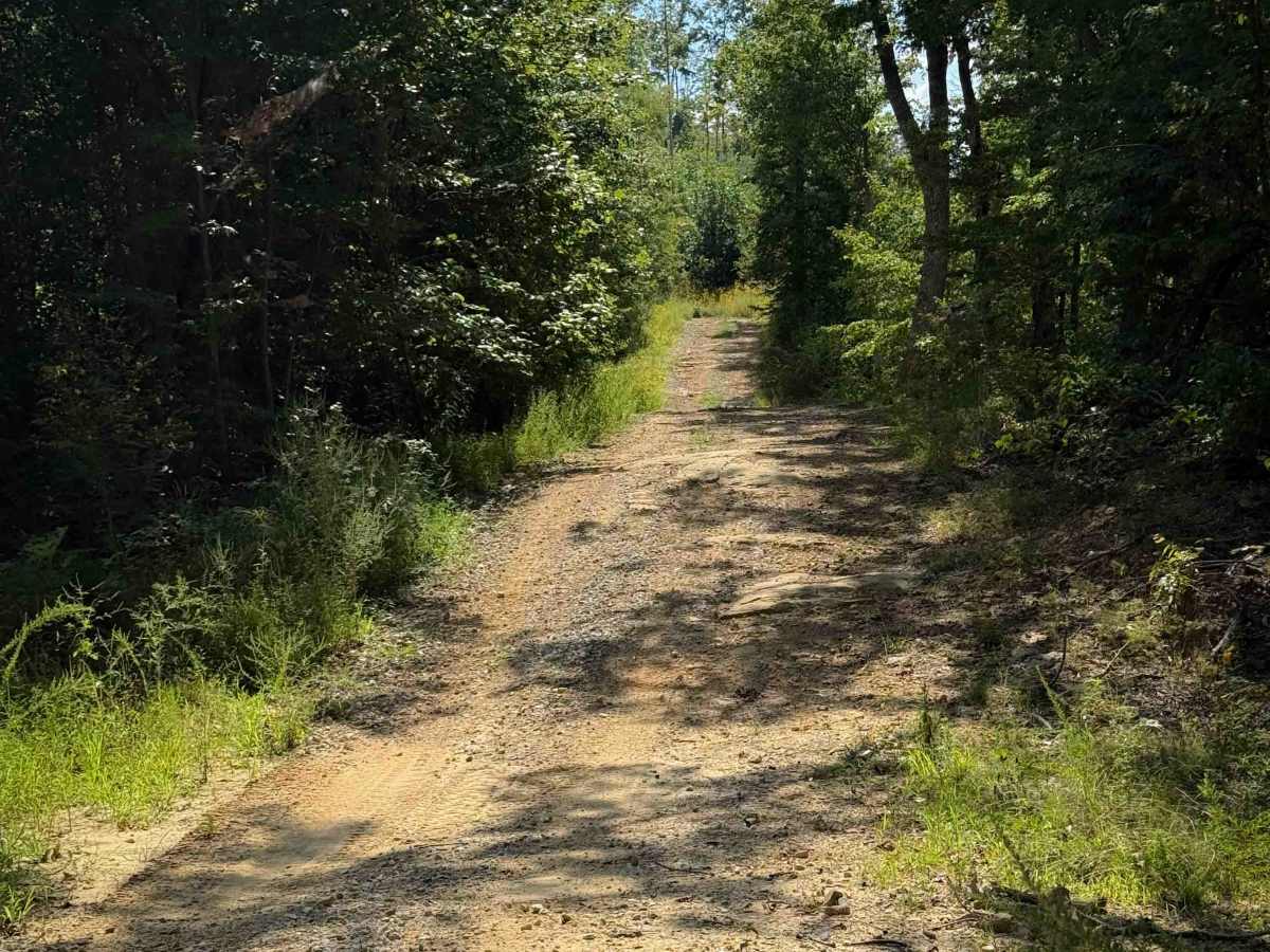
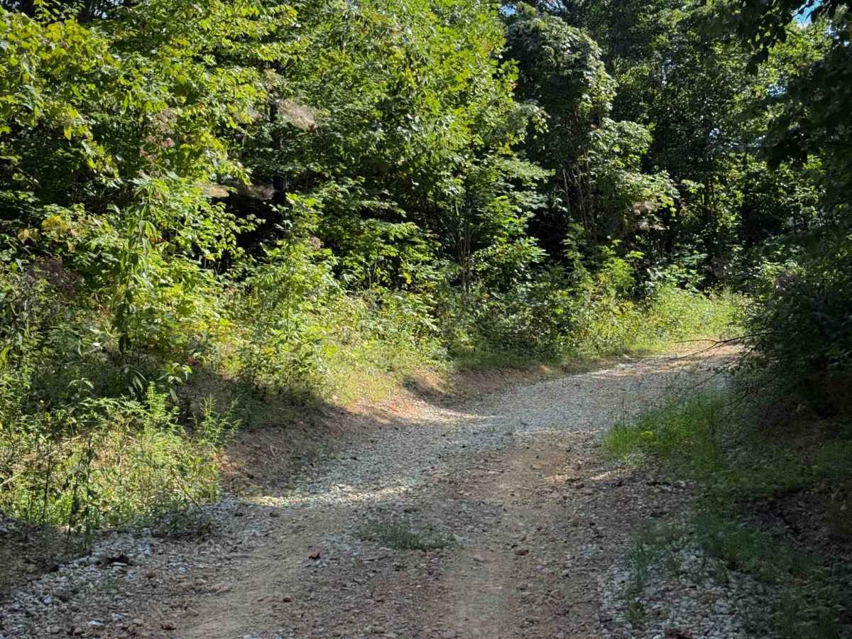
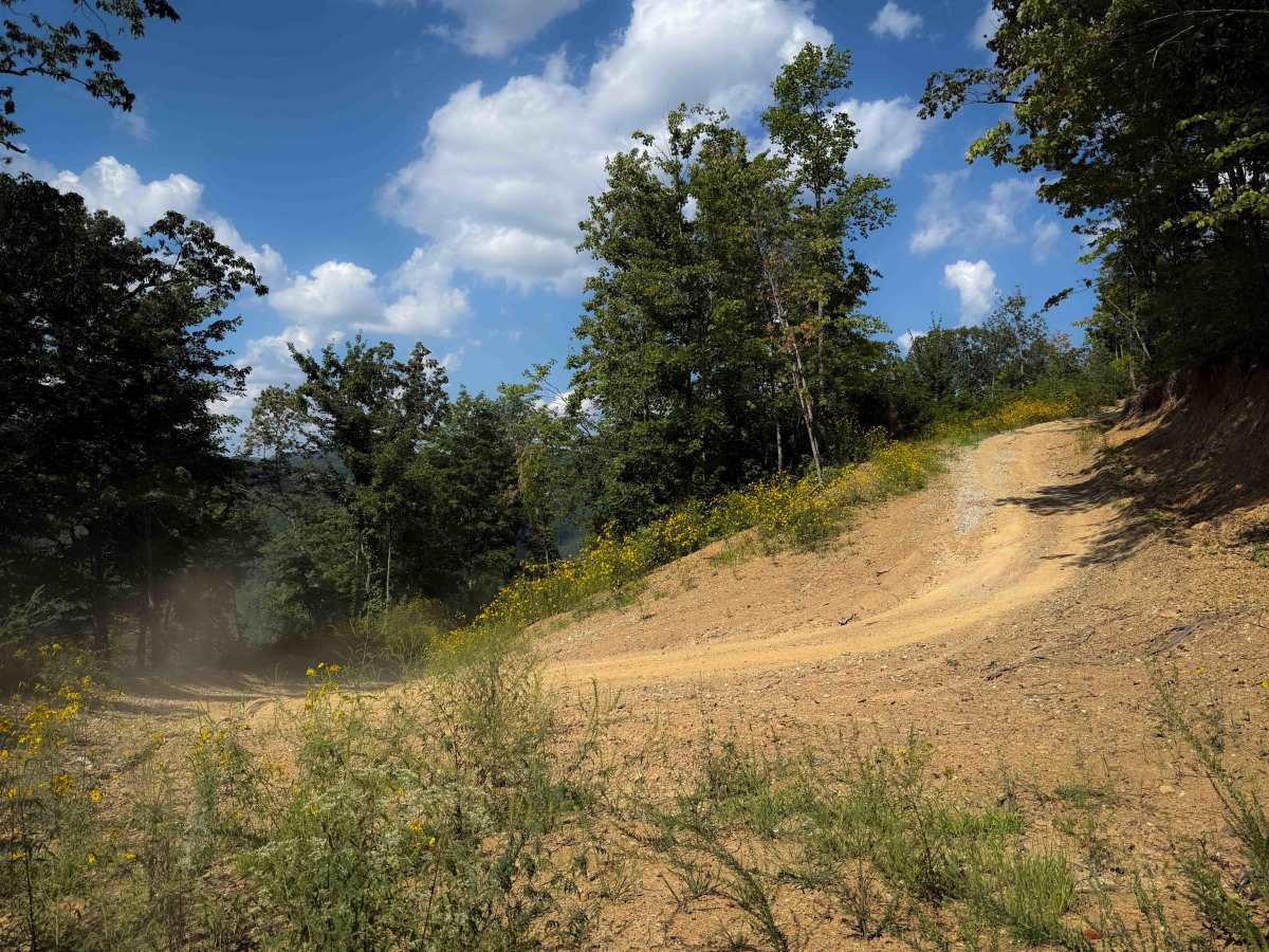
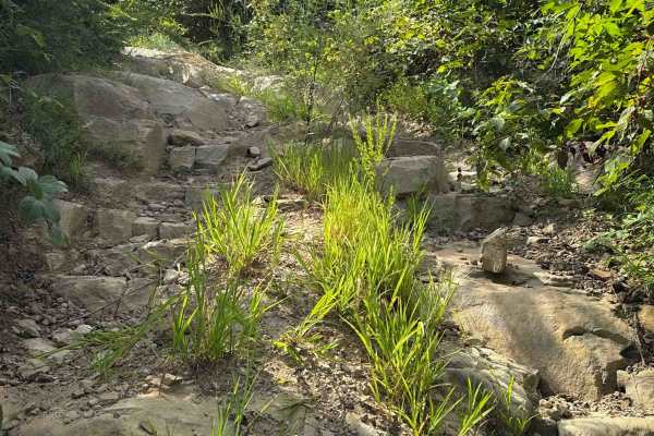
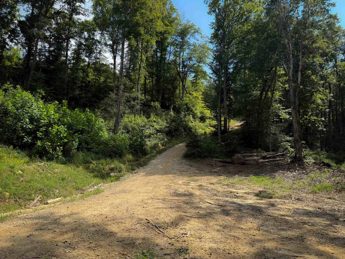
Shack Creek is an easy OHV trail within the North Cumberland OHV Riding Area. It is a wide dirt path covered in a light layer of small loose rocks, with shallow ruts, dips, and humps. It is wider than a single lane, giving lots of room to pass or pull over. The trail is mostly a semi-steep ascent from north to south, gaining almost 1200 feet over 1.5 miles, but as there are no obstacles in the route, the steep grade is still manageable for less experienced drivers. There are a couple of big sweeping hairpin turns as it approaches the top of the climb, and it narrows up between the bushes in spots. There are a few more embedded rock layers and ruts at the top of the climb. It ends at a wide intersection with the High Point Trail.

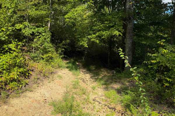
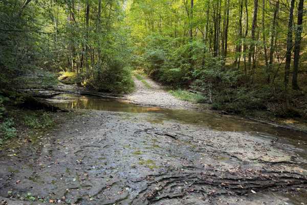
Photos of Shack Creek Trail

Difficulty

This is an easy trail despite a constantly steep climb from north to south, because the trail remains mostly smooth with no obstacles. Expect minor ruts and loose rocks, but no ledges or big rocks.

Technical Rating

2

Shack Creek Trail Trail can be accessed by the following ride types:

  • Single Track
  • 50 Inch
  • 60 Inch

Shack Creek Trail Map

The onX Offroad Difference

onX Offroad combines trail photos, descriptions, difficulty ratings, width restrictions, seasonality, and more in a user-friendly interface. Available on all devices, with offline access and full compatibility with CarPlay and Android Auto. Discover what you're missing today!

Open Trail Map